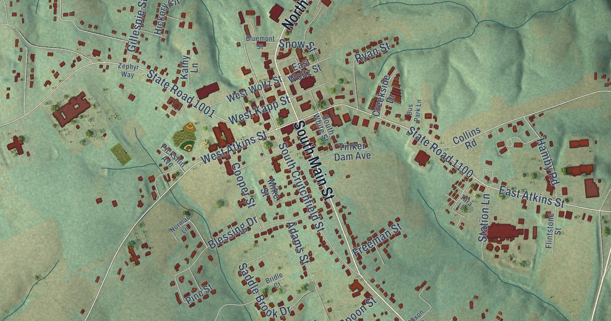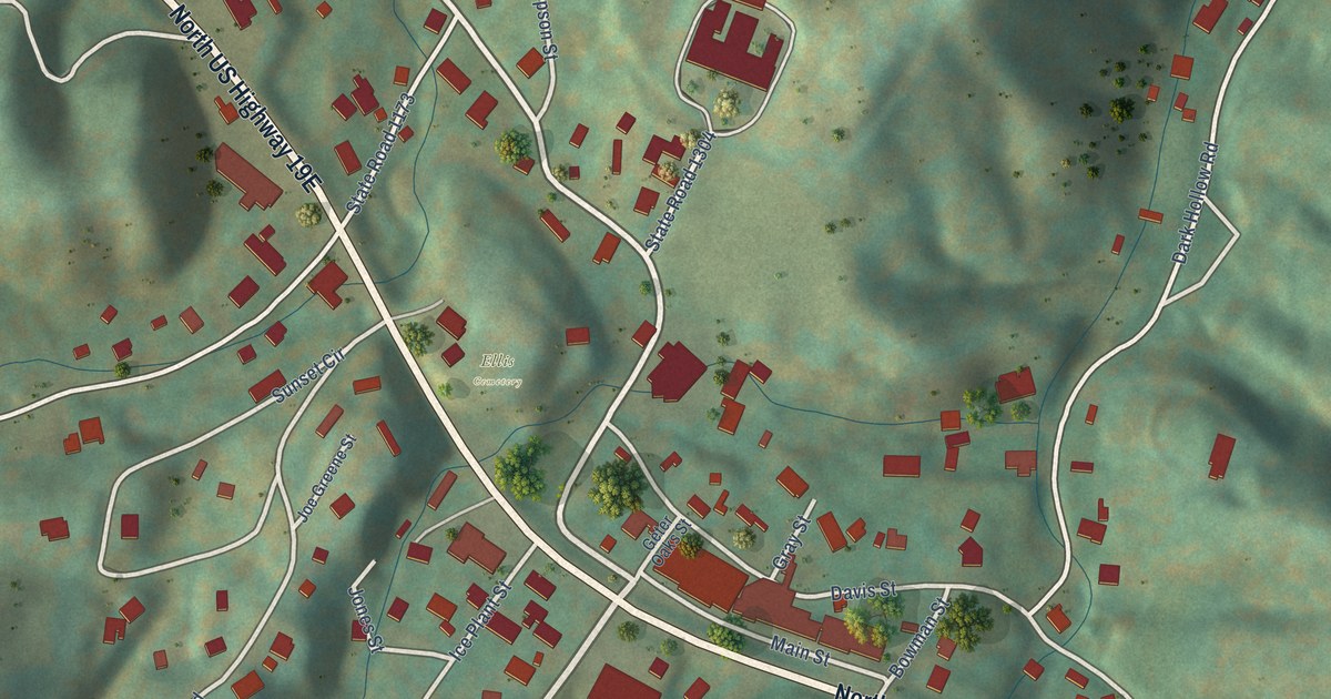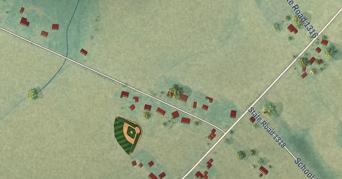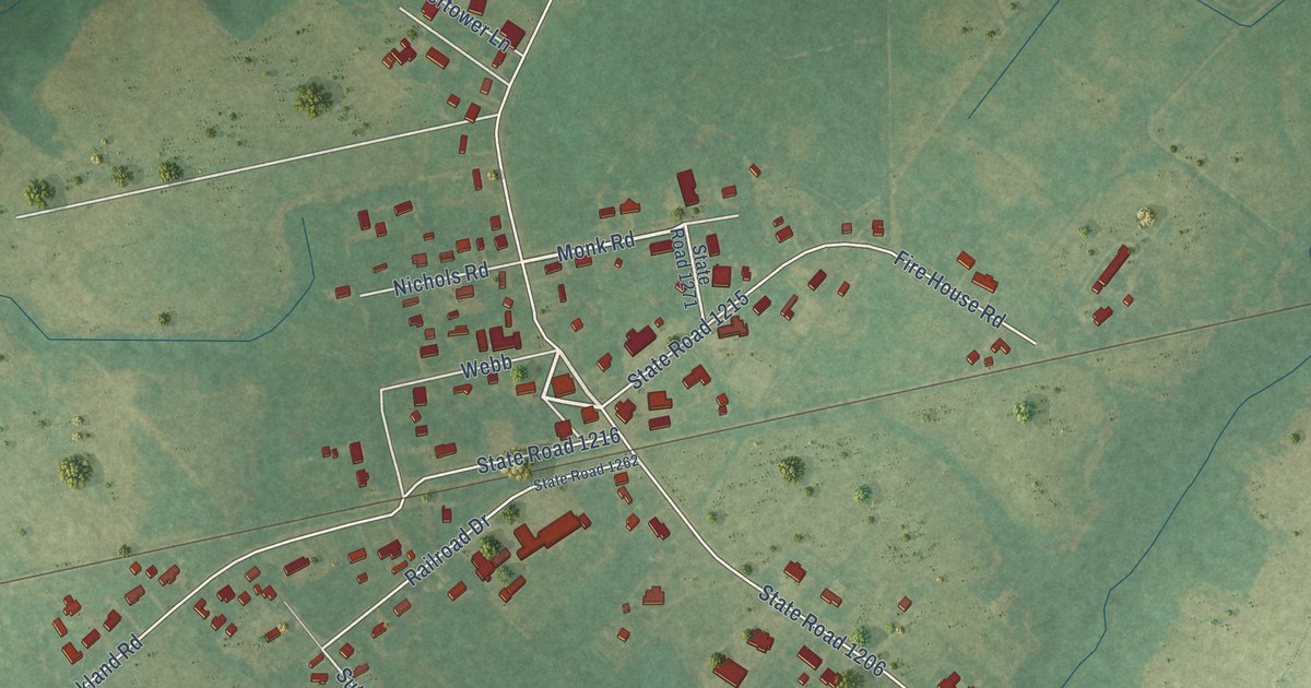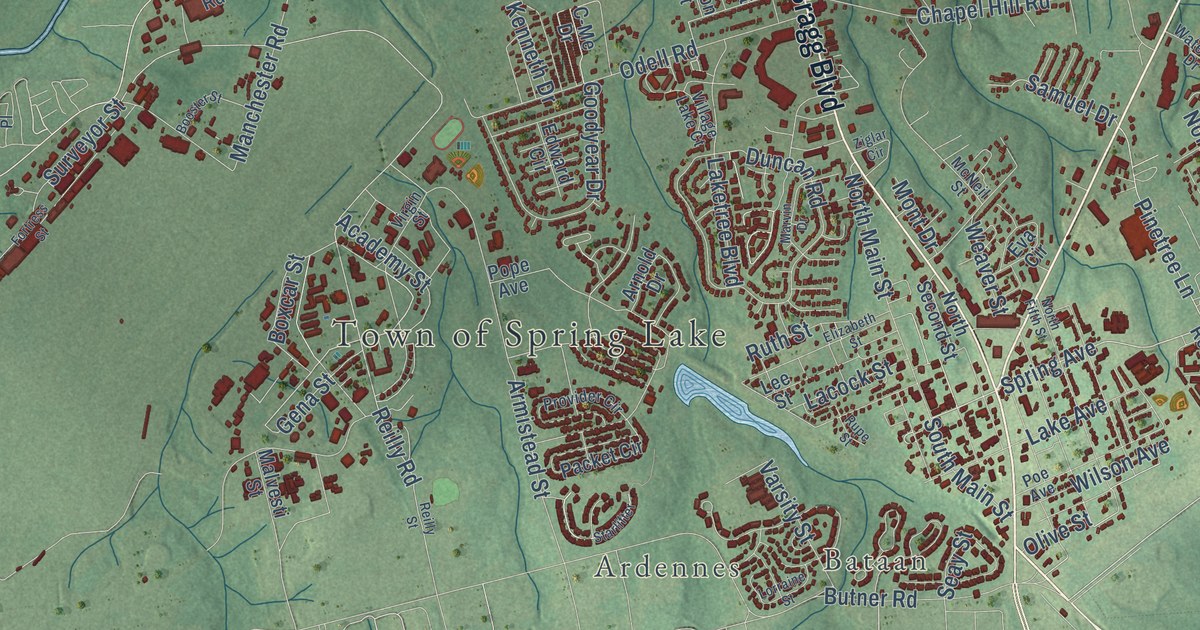
This beautifully detailed map of Spring Lake, North Carolina was created in 2026 using aerial imagery combined with modern topographical, census, street and landmark data. It’s a one-of-a-kind view of Spring Lake that combines accurate data with a vintage aesthetic. The map shows every building in its true location, many of the roads carry their names, and the shaded topographic relief shows the shape of the land.
Explore an aerial view of Spring Lake, North Carolina
On the map you’ll find Bataan, Ardennes, and Manchester, along with North Bragg Boulevard, State Road 1001, Vass Road, Lillington Highway, Spring Avenue, Ethridge Street, McCormick Road, Mc Closkey Road, and more. If you look closely you can even find your house accurately drawn in its correct location. Zoom in on the preview to look for yours.
Did you know this piece of Spring Lake, North Carolina history?
From the Town of Spring Lake: "Main Street in Spring Lake evolved from the Old Plank Road of the 1800s to become the main thoroughfare in the Town until 1942 when the Bragg Boulevard bypass was built."
Take a closer look at the Spring Lake map
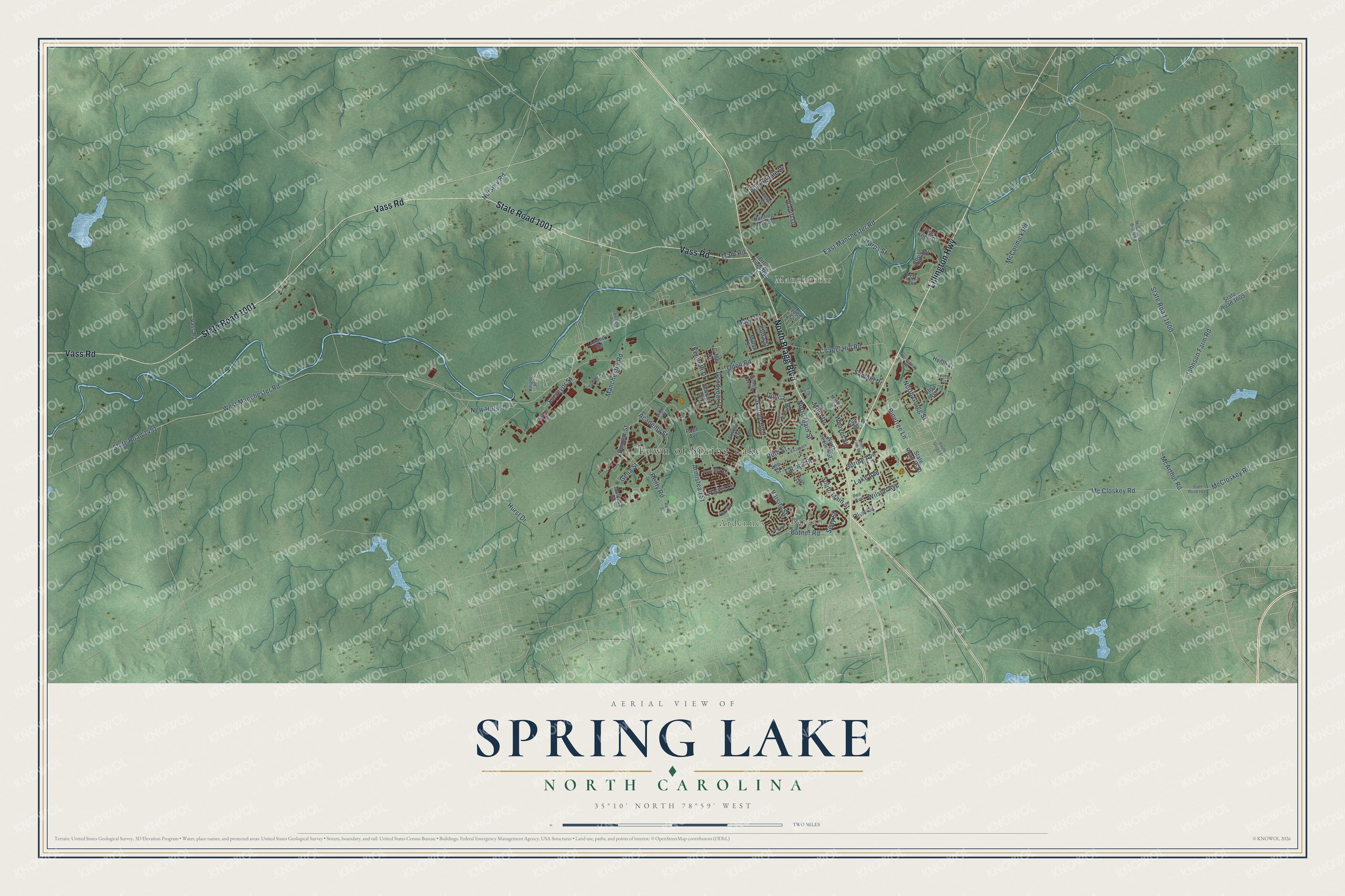
Street and place names on the Spring Lake, North Carolina map
These names are printed on the map of Spring Lake, North Carolina.
Places: Town of Spring Lake, Bataan, Ardennes and Manchester.
Streets and roads: North Bragg Boulevard, State Road 1001, Vass Road, Lillington Highway, McCormick Road, Spring Avenue, West Manchester Road, Mc Closkey Road, East Manchester Road, Reilly Road, Samuel Drive, Seay Street.
More street names, A to Z
Academy Street, Ammo Road, Antler Drive, Armistead Street, Arnold Drive, Artillery Trail, Bliss Avenue, Booster Street, Boxcar Street, Butner Road, C-Me Drive, Chapel Hill Road, Cliffs Circle, Duncan Road, Edward Circle, Elizabeth Street, Elma Street, Eppingdale Drive, Eva Circle, Fortress Street, Frugal Circle, Gena Street, Goodyear Drive, Harps Street, Henle Street, Hunting Bay Drive, Hurst Drive, Johnson Farm Road, Kenneth Drive, Knight Place, Lacock Street, Lake Avenue, Laketree Boulevard, Lauren Circle, Lee Street, Little River Road, Lorraine Street, Mack Street, Malvesti Street, Manchester Road, Marvin Drive, McArthur Road, McCloskey Road, McCormick Bridge Road, McNeil Street, Milton Street, Mont Drive, New Hurst Drive, North Fifth Street, North Grogg Street, North Main Street, North Second Street, Nursery Road, Odell Road, Olive Street, Packet Circle, Pine Knoll Drive, Pinetree Lane, Poe Avenue, Pope Avenue, Provider Circle, Reilly Street, Rupe Street, Ruth Street, Shell Drive, South Grogg Street, South Main Street, Starlifter, State Road 1451, State Road 1600, State Road 1605, State Road 1610, State Road 1620, Surveyor Street, Tram Road, Varsity Street, Village Lake Court, Virgin Street, Wapiti Drive, Waterway Drive, Weaver Street, Wilson Avenue, Ziglar Circle.
See the Spring Lake, North Carolina map on a wall
The Spring Lake map as an 18 x 24 inch print in a black frame.

This beautifully detailed map of Spring Lake makes an attractive addition to your office, library, or den, and it can even be used to teach children the geography and history of the area. It also makes a great gift for anyone with Spring Lake roots. When you’re done exploring, click here to get your copy of the Spring Lake map.