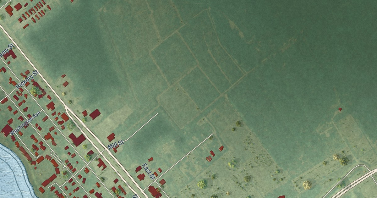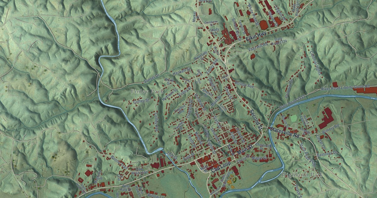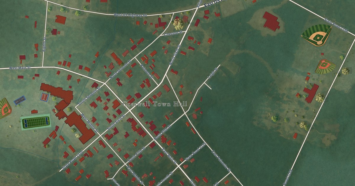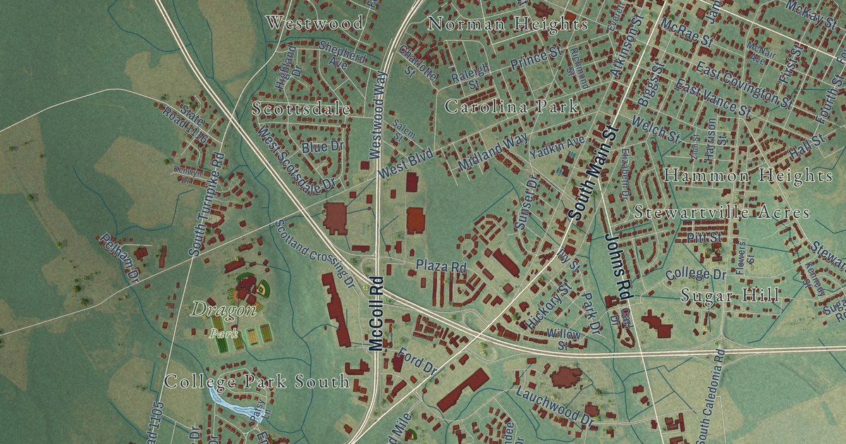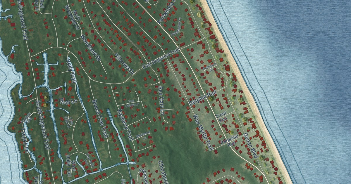
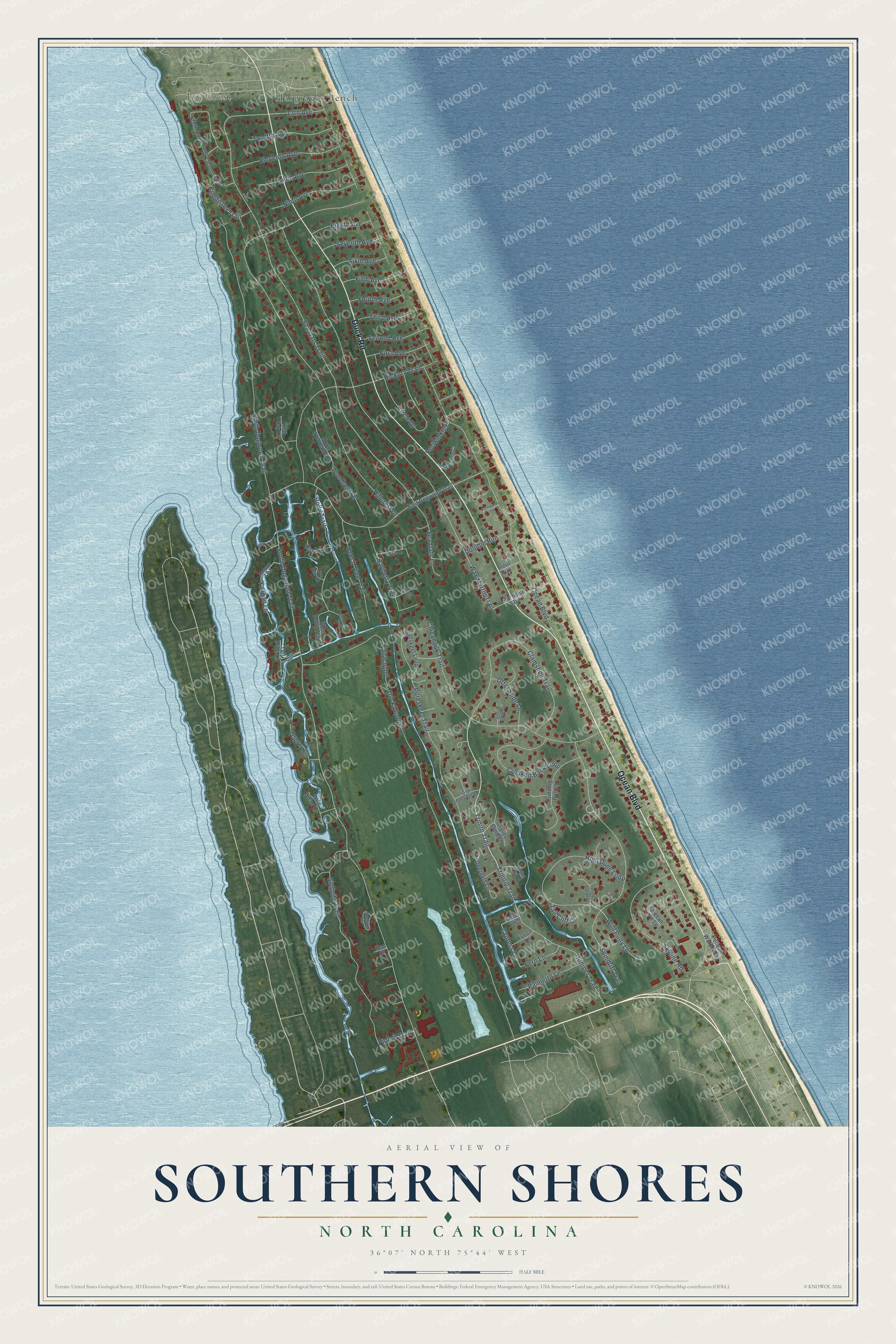
This beautifully detailed map of Southern Shores, North Carolina was created in 2026 using aerial imagery combined with modern topographical, census, street and landmark data. It's a modern aerial view of Southern Shores in Dare County, North Carolina, that combines modern data with a vintage aesthetic. The roads feature printed names, and if you look closely you can find your exact house accurately shown in its correct location.
Explore an aerial view of Southern Shores, North Carolina
On this map you'll find Hargraves Bench, Jay Crest, Ocean Boulevard, Duck Road, Trinitie Trail, Trinite Trail, Cypress Lane, 13th Avenue, Sea Oats Trail, South Dogwood Trail, Hillcrest Drive, Wax Myrtle Trail, and more. Each red shape is a building, so zoom in on the preview and look for yours.
Every town has a first chapter, and Southern Shores is no exception. The Outer Banks Visitors Bureau puts it this way: "Sandwiched between Kitty Hawk and Duck, Southern Shores represents a bit of a break from the busy beach towns to the south. Southern Shores was the first planned town on the Outer Banks, and its name came right from the mind of the developer, Frank Stick."
Southern Shores is a town in Dare County. The Census Bureau counted 3,090 people here in 2020.
Take a closer look at the Southern Shores map
Names on this map
These names are printed on this map.
Places: Hargraves Bench and Jay Crest.
Streets and roads: Ocean Boulevard, Duck Road, Trinitie Trail, Trinite Trail, Cypress Lane, 13th Avenue, Sea Oats Trail, South Dogwood Trail, Hillcrest Drive, Wax Myrtle Trail, Duck Woods Drive, North Dogwood Trail.
More street names, A to Z
Bayberry Trail, Beech Tree Trail, Birch Lane, Chicahauk Trail, Circle Drive, Clamshell Trail, Crooked Back Loop, Deerpath Lane, Dolphin Run, Eagles Nest Lane, East Dogwood Trail, East Holly Trail, Eighth Avenue, Eleventh Avenue, Fairway Drive, Fern Lane, Fifth Avenue, First Avenue, Fourth Avenue, Fox Grape Lane, Ginguite Trail, Goose Feather Lane, Gravey Pond Lane, Happy Indian Lane, Hickory Trail, High Dune Loop, Holly Trail, Juniper Trail, Kingfisher Trail, Live Oak Lane, Mallard Cv, Mistletoe Lane, Ninth Avenue, North Dune Loop, North Woodland Drive, Ocean Vw Lp, Old Passage Lane, Osprey Lane, Otter Slide Lane, Palmetto Lane, Pelican Watch Way, Periwinkle Place, Pintail Trail, Pompano Court, Porpoise Run, Poteskeet Loop, Poteskeet Trail, Pudding Pan Lane, Red Bay Lane, Sandfiddler Court, Sea Oats Lane, Second Avenue, Seventh Avenue, Sixth Avenue, Skyline Road, Soundview Trail, Spindrift Trail, Sweet Gum, Tall Cliff Court, Tall Pine Lane, Teal Court, Tenth Avenue, Third Avenue, Trout Run, Twelfth Avenue, West Holly Trail, Wild Pony Lane, Wild Swan Lane, Woodland Drive, Yaupon Lane, Yaupon Trail, Yucca Lane.
Created by KNOWOL in 2026. The buildings are small red shapes, the roads carry their printed names, and shaded relief shows the shape of the land. The title panel reads "AERIAL VIEW OF SOUTHERN SHORES NORTH CAROLINA" with 36°07' NORTH 75°44' WEST.
Hang it in the hallway, the office or the cabin, or give it to someone who left Southern Shores and still calls it home. Open the preview and look for a street you know. See sizes and frames for the Southern Shores map.