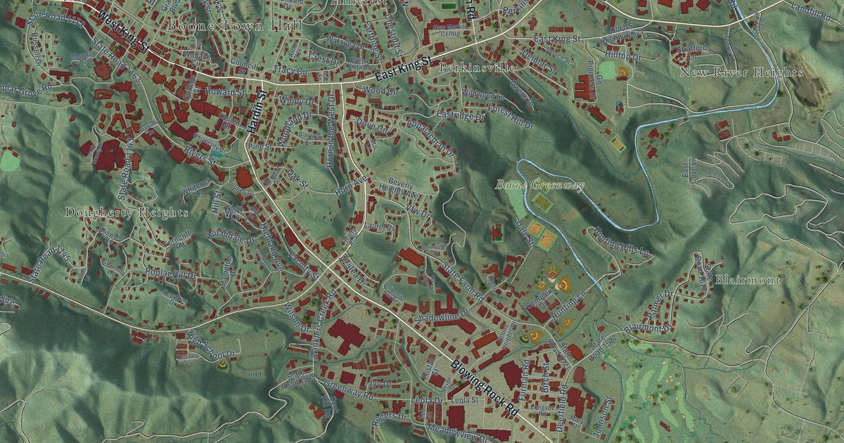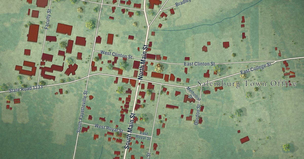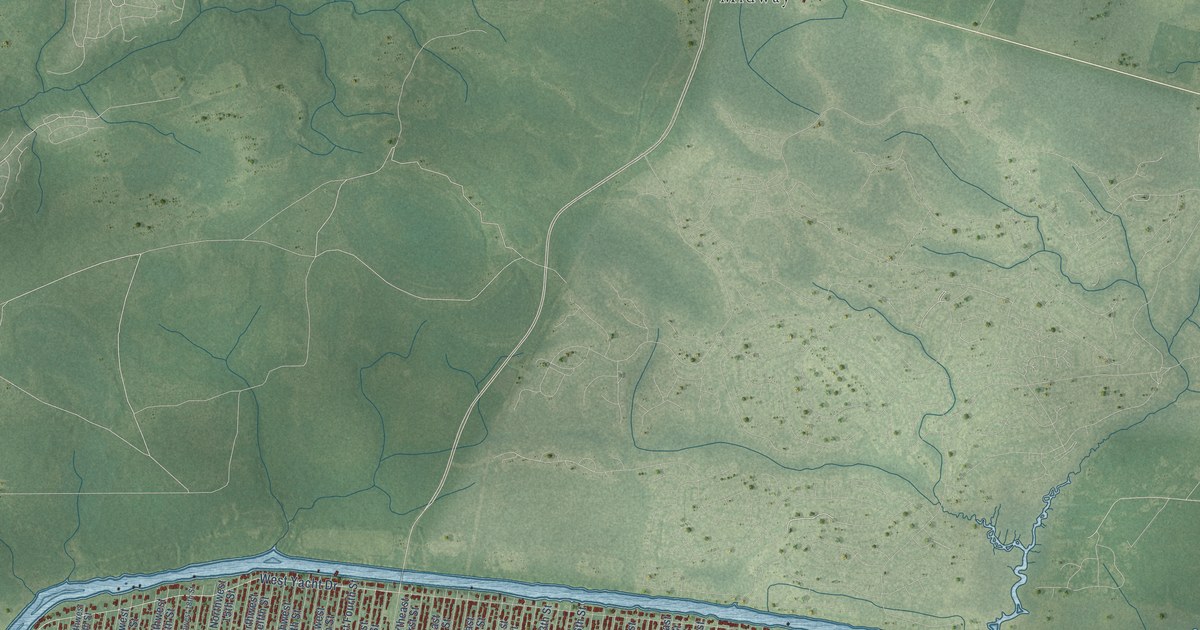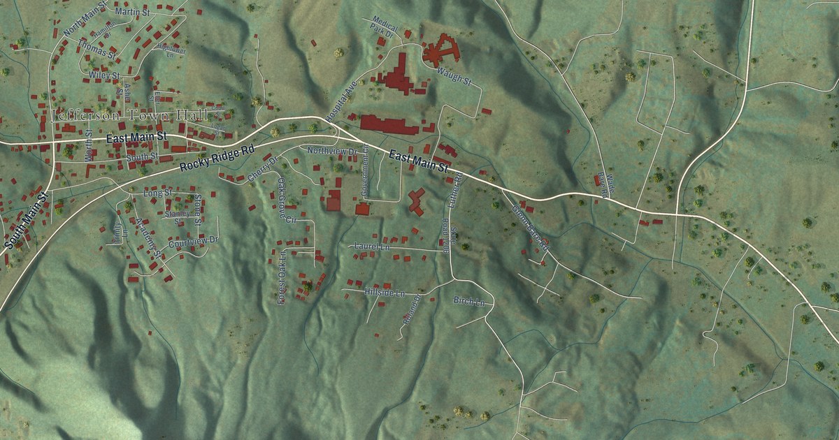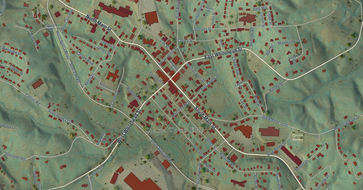
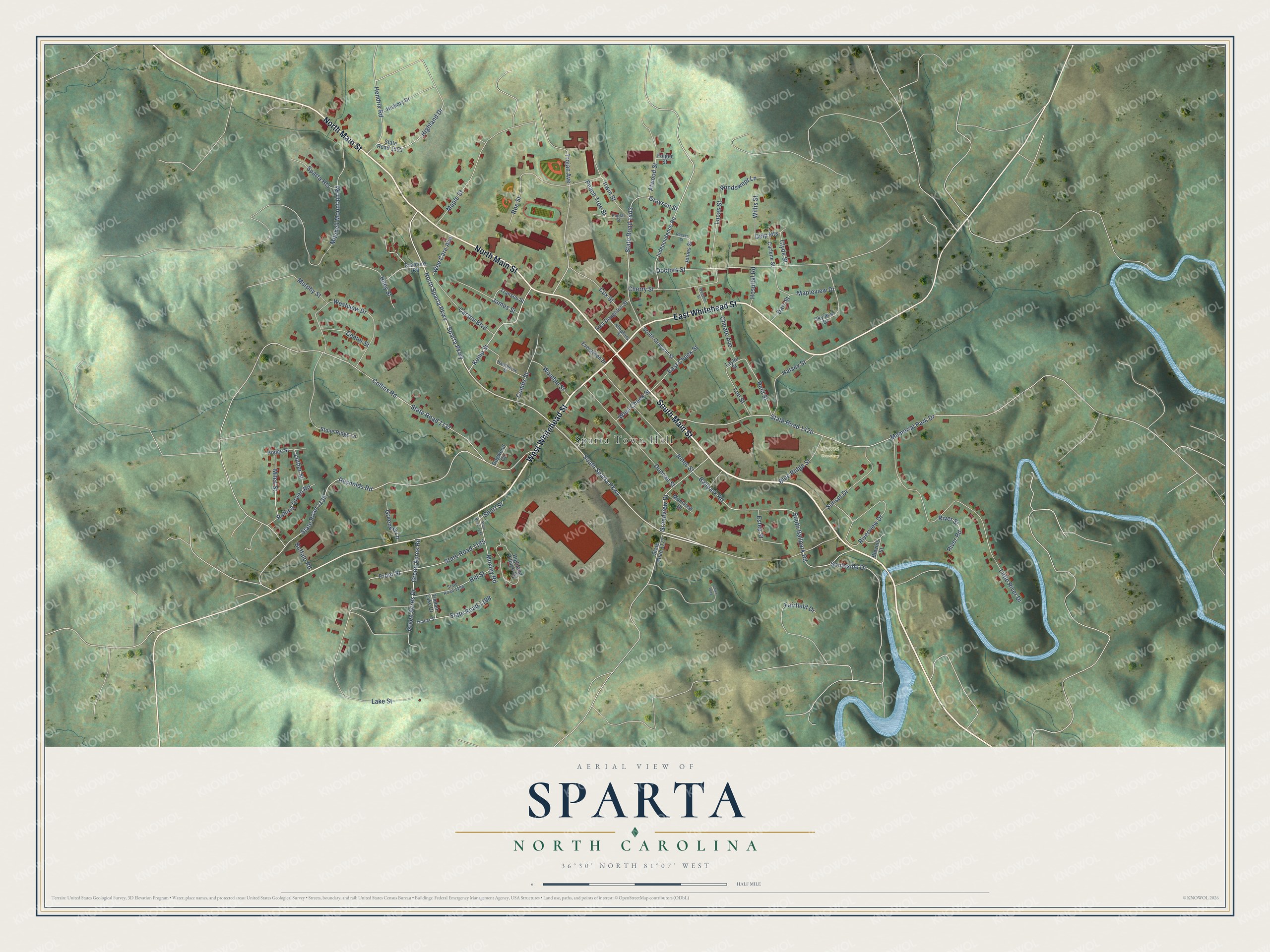
This beautifully detailed map of Sparta, North Carolina was created in 2026 using aerial imagery combined with modern topographical, census, street and landmark data. It's a modern aerial view of Sparta in Alleghany County, North Carolina, that combines modern data with a vintage aesthetic. The roads feature printed names, and if you look closely you can find your exact house accurately shown in its correct location.
Explore an aerial view of Sparta, North Carolina
On this map you'll find Sparta Town Hall, Sparta Cemetery, South Main Street, West Whitehead Street, East Whitehead Street, North Main Street, South Sparta Parkway, North Sparta Parkway, Sparta Parkway, Kemp Street, State Road 1403, Ballpark Road, and more. Each red shape is a building, so zoom in on the preview and look for yours.
Sparta has a story worth telling. The North Carolina Gazetteer puts it this way: "Post office est. there as Bower's Store, 1825; name changed to Gap Civil, 1846, and to Sparta, 1879. Inc. 1879. Named for the ancient city in Greece."
Sparta is a town in Alleghany County. The Census Bureau counted 1,834 people here in 2020.
Take a closer look at the Sparta map
Names on this map
These names are printed on this map.
Places: Sparta Town Hall and Sparta Cemetery.
Streets and roads: South Main Street, West Whitehead Street, East Whitehead Street, North Main Street, South Sparta Parkway, North Sparta Parkway, Sparta Parkway, Kemp Street, State Road 1403, Ballpark Road, South Ballpark Road, Little River Drive.
More street names, A to Z
Alleghany Street, Amys Way, Atwood Street, Blevins Street, Blue Ridge Street, Buffalo Road, Carlene Street, Carson Boulevard, Center Street, Cherry Street, Choate Avenue, Clyde Street, Collins Road, Combs Street, Cox Street, Cranford Road, Darr Street, Delp Heights, Doctors Street, Dogwood Circle, Duncan Street, East Cheek Street, East Doughton Street, Estep Street, Evergreen Drive, Fairfield Drive, Folger Street, Front Street, Grandview Drive, Grayson Street, Green Acres Drive, Green Acres Road, Greenery Lane, Halsey Street, Hawthorne Street, Hendrix Road, Hickory Drive, Highland Drive, Highland Village Circle, Hill Street, Hodge Street, Hospital Road, Independence Road, Irwin Street, James Street, Joines Street, Jones Street, Lake Street, Lee Street, Lucas Street, Luther Street, Maple Street, Mapleview Drive, Memorial Park Drive, Miles Street, Mitchell Mountain Road, Montview Drive, Moxley Road, Murphy Street, Peach Tree Street, Poplar Street, Reeves Street, Reid Street, Reynolds Road, Riley Street, River Road, River Street, Riverview Drive, Roe Street, Rolling Green Road, Short Street, Skyland Drive, South Grayson Street, Southside Drive, Sparta Heights, State Road 1136, State Road 1137, State Road 1172, State Road 1184, State Road 1185, State Road 1196, State Road 1198, State Road 1420, State Road 1503, Stone Ridge Lane, Sunset Drive, Taylor Street, Timber Lake Drive, Timber Street, Transou Street, Trojan Avenue, Wagoner Street, Wee Care Avenue, West Cheek Street, Westview Drive, Willis Street, Windswept Lane, Womble Street.
Created by KNOWOL in 2026. The buildings are small red shapes, the roads carry their printed names, and shaded relief shows the shape of the land. The title panel reads "AERIAL VIEW OF SPARTA NORTH CAROLINA" with 36°30' NORTH 81°07' WEST.
It looks right in a kitchen, an office or a den, and it's a gift for anyone who grew up in Sparta or moved away. Open the preview and find your street. See sizes and frames for the Sparta map.