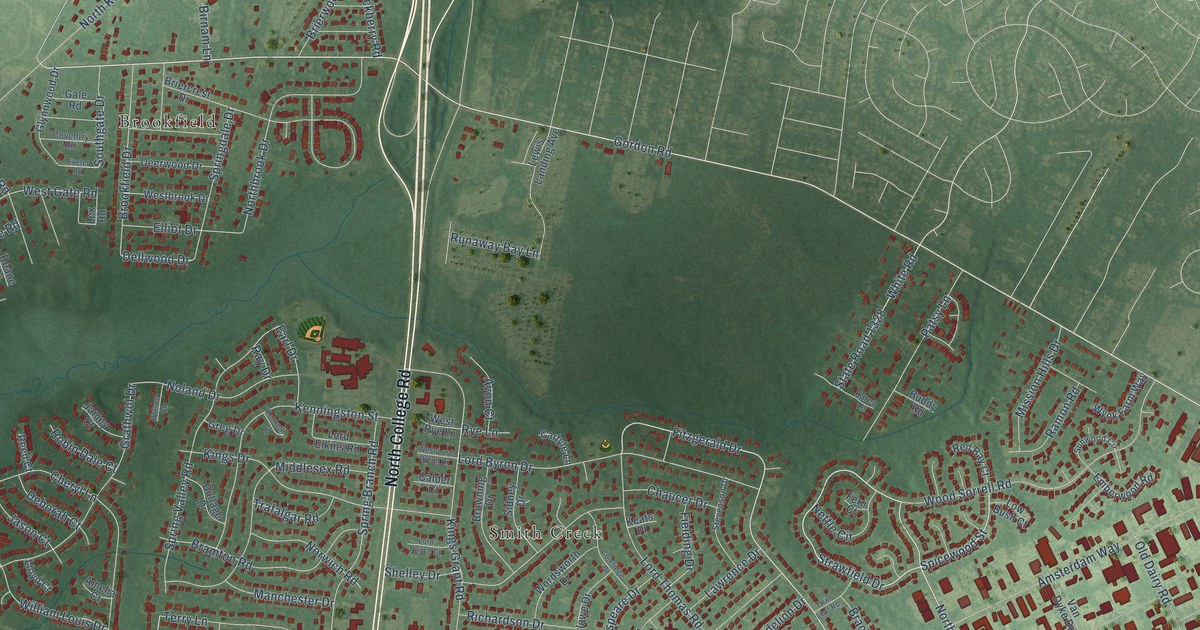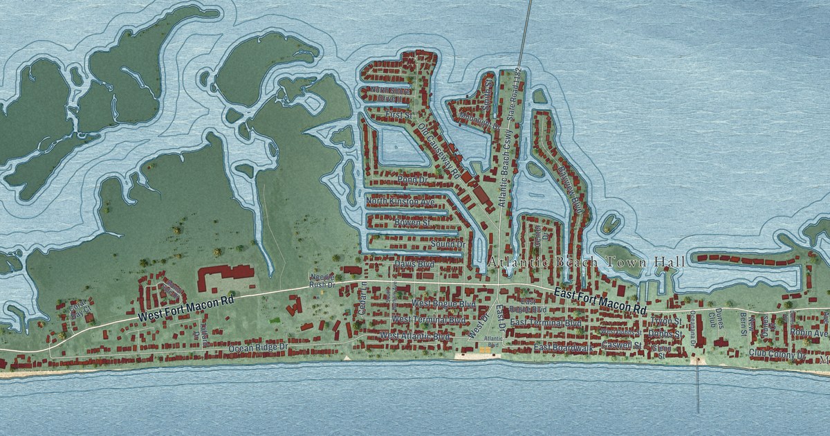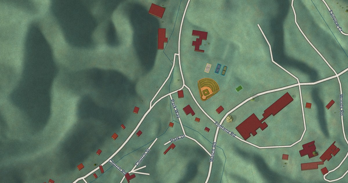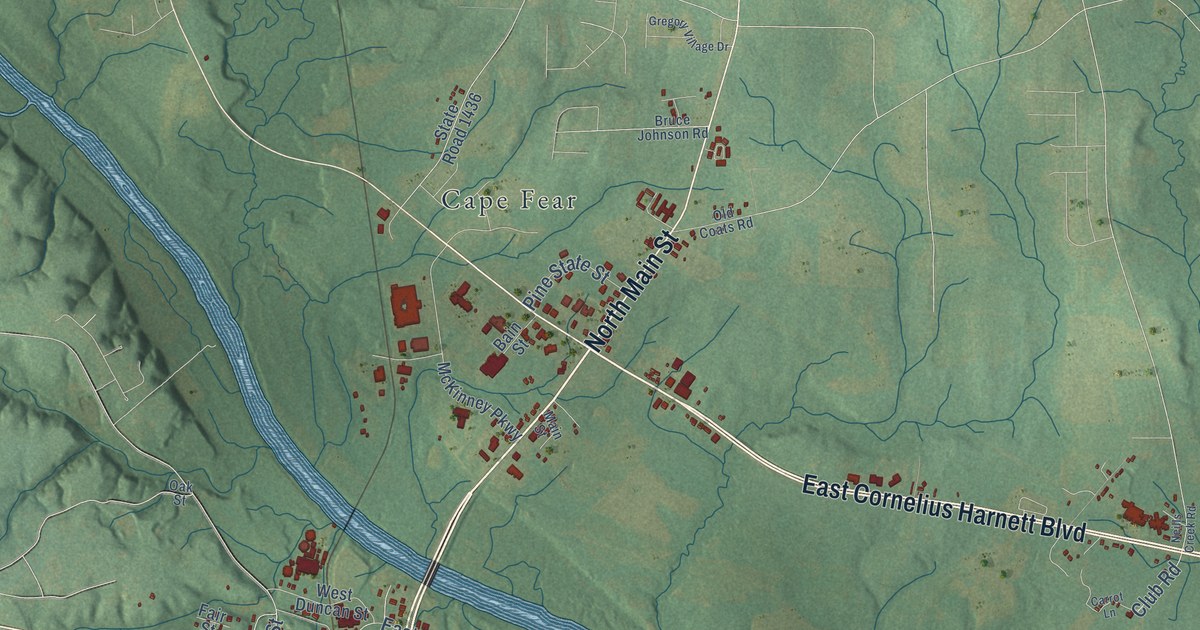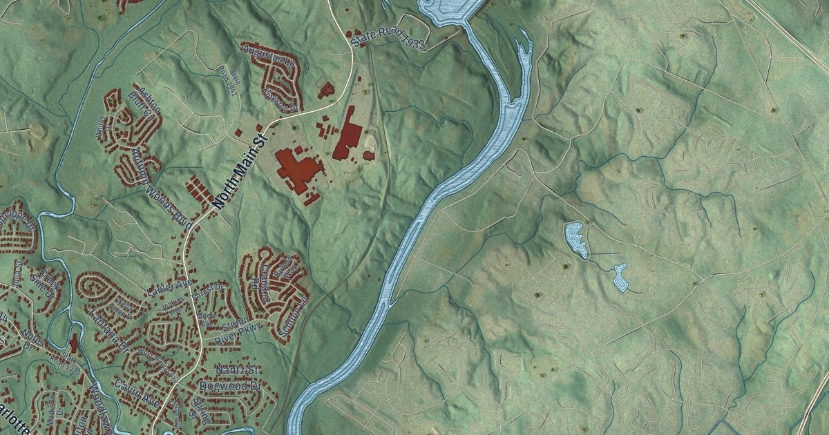
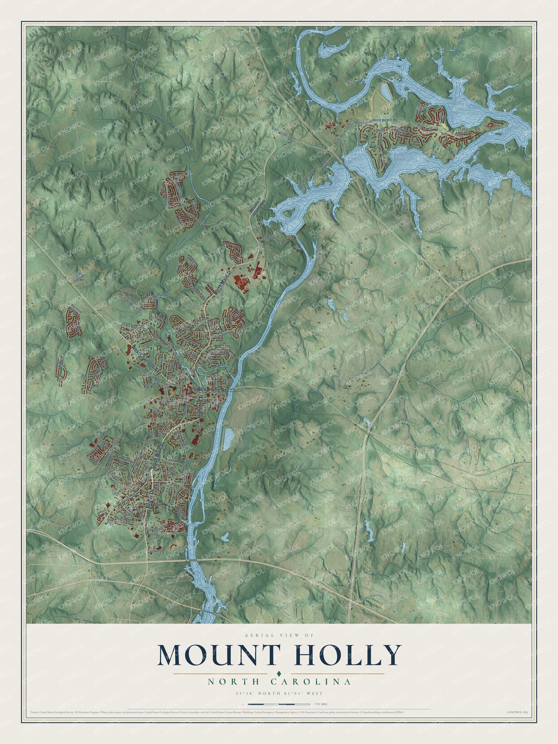
This beautifully detailed map of Mount Holly, North Carolina was created in 2026 using aerial imagery combined with modern topographical, census, street and landmark data. It's a modern aerial view of Mount Holly in Gaston County, North Carolina, that combines modern data with a vintage aesthetic. The roads feature printed names, and if you look closely you can find your exact house accurately shown in its correct location.
Explore an aerial view of Mount Holly, North Carolina
On this map you'll find Downtown, Catawba Heights, Hutchinson, Nims, West Charlotte Avenue, Beatty Drive, East Charlotte Avenue, South Main Street, Highland Street, North Main Street, State Road 2093, Belton Avenue, and more. Each red shape is a building, so zoom in on the preview and look for yours.
Mount Holly has a story worth telling. The North Carolina Gazetteer puts it this way: "Post office est. as Huntersville in 1800, named for Rev. Humphrey Hunter, postmaster. Name changed to Woodlawn in 1846. Inc. 1879 as Mount Holly, named for the town in New Jersey where fine yarns were manufactured."
Mount Holly is a city in Gaston County. The Census Bureau counted 17,703 people here in 2020.
Take a closer look at the Mount Holly map
Names on this map
These names are printed on this map.
Places: Downtown, Catawba Heights, Hutchinson and Nims.
Streets and roads: West Charlotte Avenue, Beatty Drive, East Charlotte Avenue, South Main Street, Highland Street, North Main Street, State Road 2093, Belton Avenue, State Road 1922, State Road 1924, State Road 1933, State Road 1912.
More street names, A to Z
Access Road, American Street, Antelope Drive, Ashton Bluff Circle, Augustus Lane, Austin Field Court, Auten Circle, Autumn Woods Boulevard, Azalea Ridge Drive, Beaty Road, Bell Street, Broome Street, Buford Way, Caldwell Drive, Cavin Avenue, Cedar Lane, Cellini Place, Cherry Street, Craig Street, Crandon Road, Creek Side Drive, Crest Street, Dali Boulevard, Daniel Efird Drive, Deerfield Drive, Dogwood Drive, Dutch Avenue, Dutchmans Meadow Drive, East Henry Street, Elm Avenue, Ferstl Avenue, Forest Drive, Forest Hills Drive, Hidden Pines Drive, Hill Street, Horseshoe Bend Beach Road, Ida Street, Jenkins Avenue, Julia Street, Kendrick Farm Drive, Killian Avenue, Kingston Drive, Lanier Avenue, Lantana Drive, Legion Road, Louise Avenue, Lowe Street, Lucia Riverbend Highway, Lynnbrook Drive, Madison Drive, Maple Circle, Maple Drive, Marina Village Drive, Misty Knoll, Monet Boulevard, Moore Avenue, Mooreland Oaks Way, Moses Rhyne Drive, Mountain Island Highway, Nantz Street, Nivens Cove Road, Noles Drive, North Lee Street, Norton Road, Oakland Street, Oak Trail, Pearl Beaty Drive, Piedmont Run Road, Pollock Vw, Raffaelo Vw, Rankin Avenue, Riverfront Parkway, Rose Street, Rosseau Lane, Rye Road, Sandy Ford Road, Sculpin Lane, Sella Ridge Drive, Silo Street, Silver Birch Lane, South Hawthorne Street, South Lee Street, Spring Street, State Road 1918, State Road 1923, State Road 1934, State Road 1941, State Road 1957, State Road 2040, State Road 2041, State Road 2042, State Road 2044, State Road 2146, Stone River Parkway, Stonewater Bay, Tall Wheat Lane, Tom Sawyer Lane, Tuckaseege Road, Vance Street, Vangogh Trail, West Central Avenue, Westland Farm Road, West Walnut Avenue, Wheat Field Drive, Whitby Drive, Whiterock Drive, Woodhill Drive, Woodlawn Avenue, Woodward Ridge Drive, Ymca Drive.
Created by KNOWOL in 2026. The buildings are small red shapes, the roads carry their printed names, and shaded relief shows the shape of the land. The title panel reads "AERIAL VIEW OF MOUNT HOLLY NORTH CAROLINA" with 35°18' NORTH 81°01' WEST.
It looks right in a kitchen, an office or a den, and it's a gift for anyone who grew up in Mount Holly or moved away. Open the preview and find your street. See sizes and frames for the Mount Holly map.