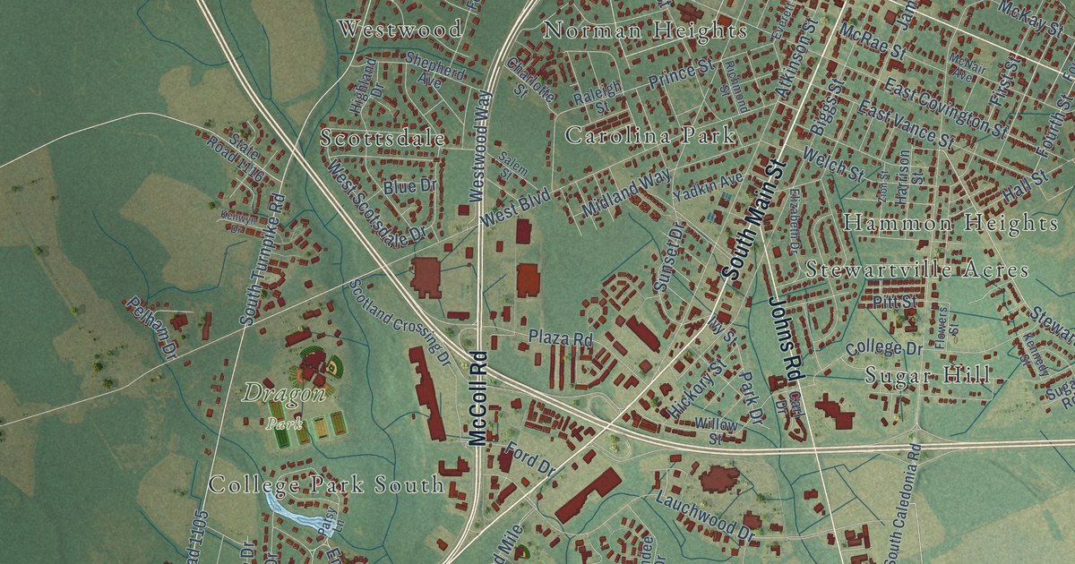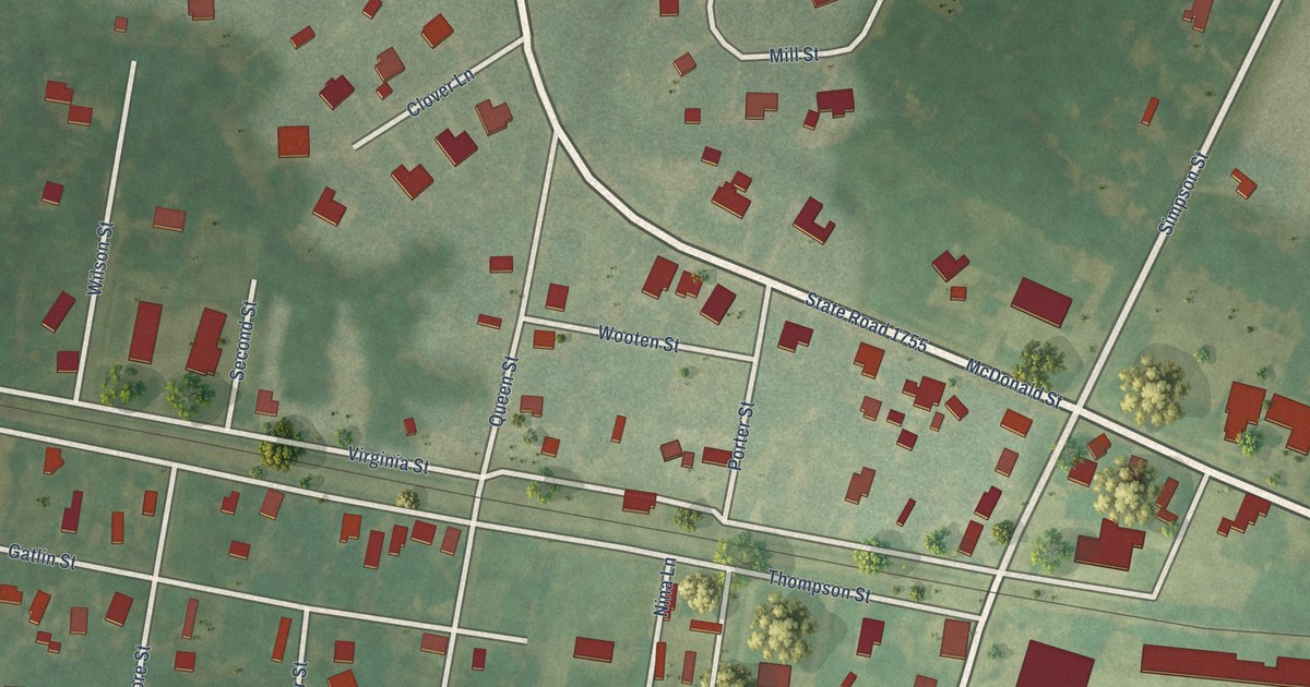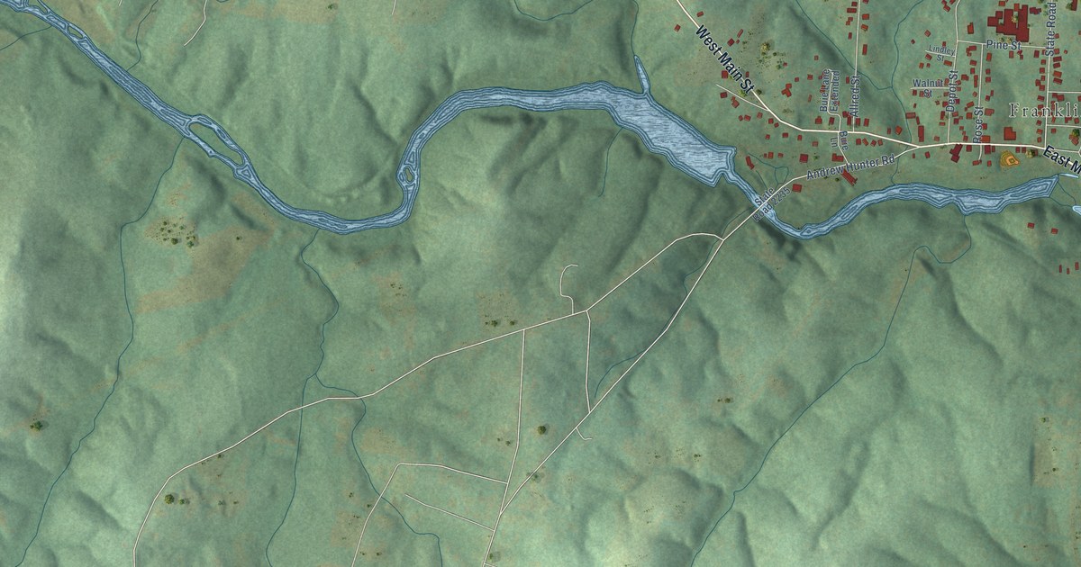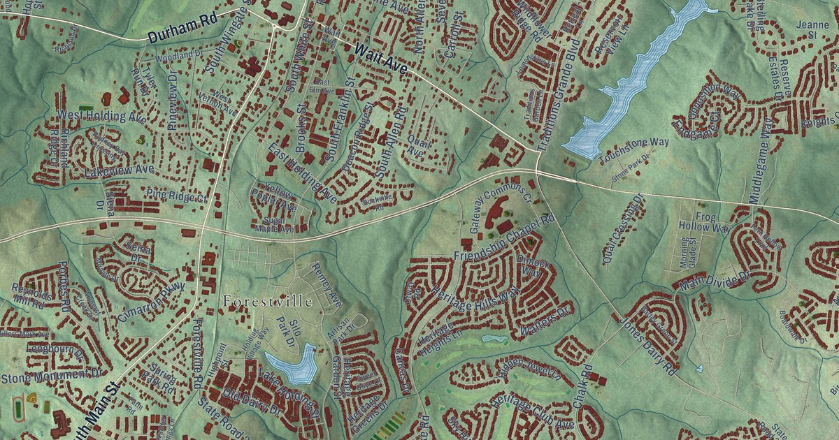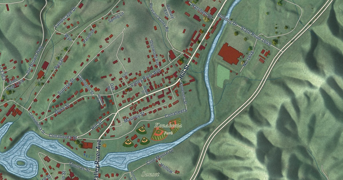
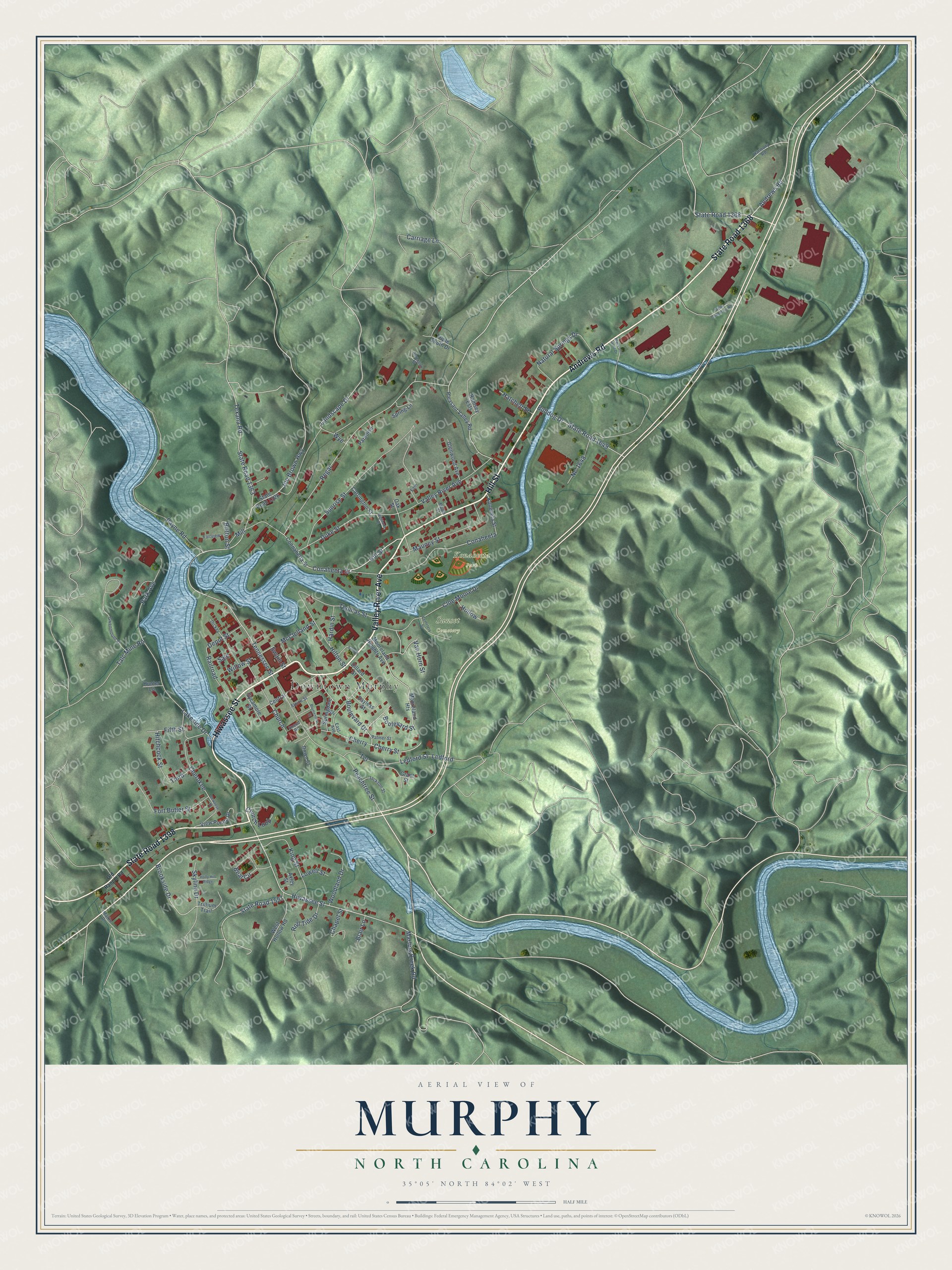
This beautifully detailed map of Murphy, North Carolina was created in 2026 using aerial imagery combined with modern topographical, census, street and landmark data. It's a modern aerial view of Murphy in Cherokee County, North Carolina, that combines modern data with a vintage aesthetic. The roads feature printed names, and if you look closely you can find your exact house accurately shown in its correct location.
Explore an aerial view of Murphy, North Carolina
On this map you'll find Downtown Murphy, Konaheeta Park, Sunset Cemetery, State Road 1368, Hiwassee Street, Valley River Avenue, State Road 1398, Hill Street, Andrews Road, Tennessee Street, Conaheeta Street, Boulevard Street, and more. Each red shape is a building, so zoom in on the preview and look for yours.
Here is a piece of Murphy history, in the words of the record. The record at dncr.nc.gov puts it this way: "Fort Butler, located one-quarter mile southwest of present-day Murphy in Cherokee County, served as a major gathering point for Cherokee from extreme southwestern North Carolina."
Murphy is a town in Cherokee County. The Census Bureau counted 1,608 people here in 2020.
Take a closer look at the Murphy map
Names on this map
These names are printed on this map.
Places: Downtown Murphy, Konaheeta Park and Sunset Cemetery.
Streets and roads: State Road 1368, Hiwassee Street, Valley River Avenue, State Road 1398, Hill Street, Andrews Road, Tennessee Street, Conaheeta Street, Boulevard Street, Cherry Street, Conaheeta, Regal.
More street names, A to Z
Alpine Street, Alverson Street, Axley Street, Bayless Street, Beal Circle, Black and Gold Drive, Blair Lane, Blumenthal Street, Boulevard Drive, Britton Street, Brookside Drive, Bulldog Drive, Carriage Lane, Carrington Street, Cemetery Street, Central, Chapel Street, Cherokee, Cherry, Church, Church Loop, Cloe Moore Drive, Connahetta Street, Depot Street, Deweese Street, Dickey, Dillard Street, Down Street, Duke Street, East Avenue, Fain, Fairview, Fifth Street, Fort Butler Street, Glenwood Avenue, Grant Street, Gwenmount Street, Hardin Street, Harmony Road, Hatchett Street, Highland Place, Hilton Street, Hitchcock Street, Hollow, Holly Hill Ridge, Hunter Lane, Jackson Street, Joe Brown Highway, King Street, Koneheta Street, Lakeside Drive, Landscape Drive, Ledford, Ledford Street, Lowell Street, Maple Street, Marks Drive, Martins Creek Road, Mauney Street, McClelland Street, Mill, Mooreland Heights, Mooreland Heights Avenue, Natural Springs Drive, Nc-1648, Oak Street, Old Ranger Road, Palmer Street, Paradise, Park Avenue, Payne Road, Peachtree Street, Pleasant Valley Road, Railroad, Ramsey Ests, Roll Tide Drive, Sale, School, Skyline Drive, Sneed Road, Springdale Street, Spring Lane, State Road 1326, State Road 1363, State Road 1557, State Road 1649, Sunrise Street, Swain Street, Sycamore Street, Talc Mine Road, Terrace, Texana Road, Third, Thomas Street, Trillium Trail, Triple South Drive, Van Horn Street, View Pointe Drive, Wells Connector Road, West Hollow Road, Willow Street, Woodland Drive, Wye.
Created by KNOWOL in 2026. The buildings are small red shapes, the roads carry their printed names, and shaded relief shows the shape of the land. The title panel reads "AERIAL VIEW OF MURPHY NORTH CAROLINA" with 35°05' NORTH 84°02' WEST.
It suits a den, a classroom or a front hall, and it makes a gift for anyone with Murphy roots. Open the preview and find the block you know. See sizes and frames for the Murphy map.