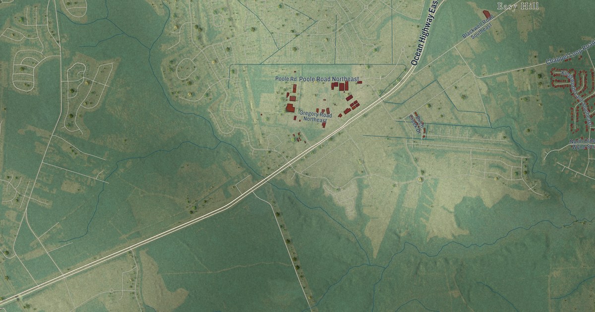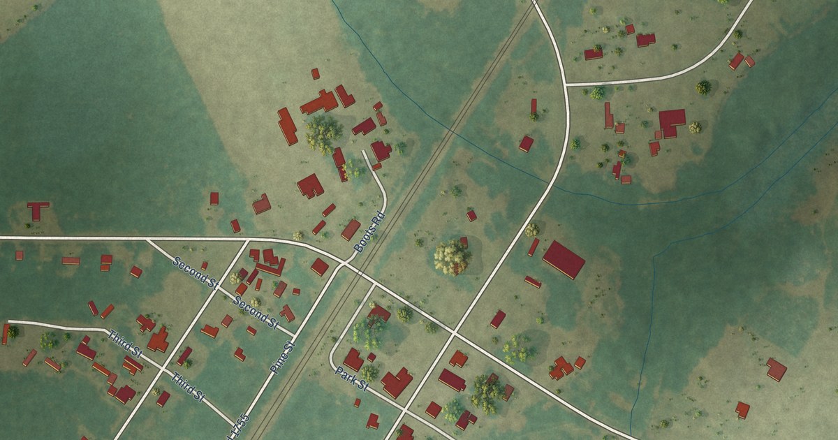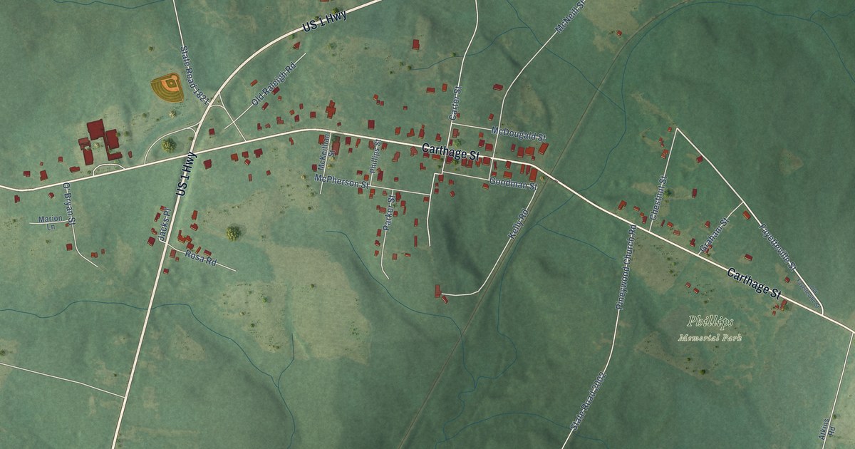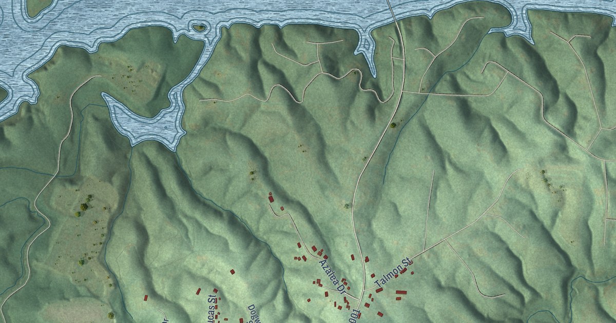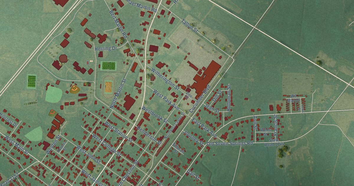
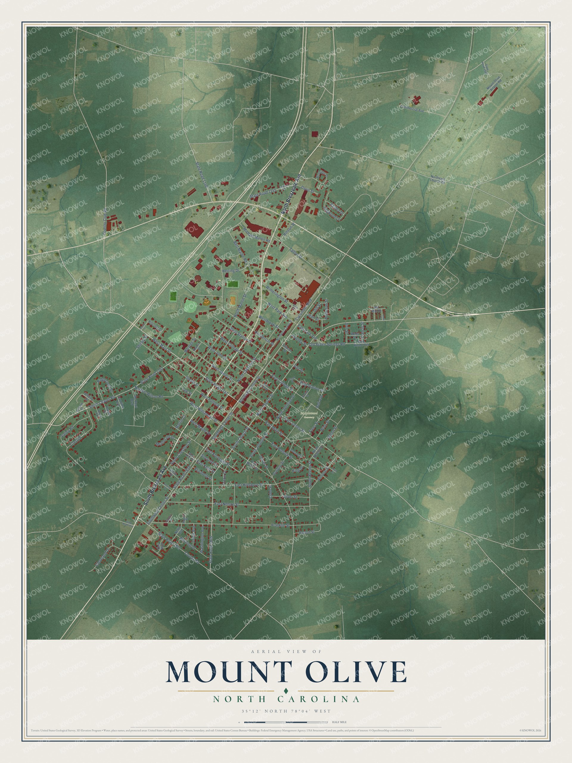
This beautifully detailed map of Mount Olive, North Carolina was created in 2026 using aerial imagery combined with modern topographical, census, street and landmark data. It's a modern aerial view of Mount Olive in Wayne County, North Carolina, that combines modern data with a vintage aesthetic. The roads feature printed names, and if you look closely you can find your exact house accurately shown in its correct location.
Explore an aerial view of Mount Olive, North Carolina
On this map you'll find Maplewood Cemetery, South Breazeale Avenue, North Breazeale Avenue, South Church Street, Northeast Center Street, West Main Street, State Road 1141, North Church Street, Smith Chapel Road, State Road 1157, West Williamson Street, Franklin Street, and more. Each red shape is a building, so zoom in on the preview and look for yours.
Every town has a first chapter, and Mount Olive is no exception. The record at dncr.nc.gov puts it this way: "In September 1953, the College relocated to Mount Olive, nearer the center of denominational strength in the eastern section of the state."
Mount Olive is a town in Wayne County. The Census Bureau counted 4,198 people here in 2020.
Take a closer look at the Mount Olive map
Names on this map
These names are printed on this map.
Places: Maplewood Cemetery.
Streets and roads: South Breazeale Avenue, North Breazeale Avenue, South Church Street, Northeast Center Street, West Main Street, State Road 1141, North Church Street, Smith Chapel Road, State Road 1157, West Williamson Street, Franklin Street, South Johnson Street.
More street names, A to Z
Andrews Circle, Ann Street, Azalea Drive, Barfield Street, Bell Avenue, Bert Martin Road, Canal Street, Carolina Avenue, Claytor Street, Cleveland Drive, Cobb Street, Commercial Avenue, Connor Street, Country Club Road, County Road, Crest Drive, Cucumber Boulevard, Dail Street, Daly Boulevard, Davis Street, Dill Street, Dogwood Lane, Dudley Street, East College Street, East Hillsboro Street, East James Street, East John Street, East Kelly Street, East Kornegay Street, East Main Street, East Maple Street, East Nelson Street, East Park Avenue, East Pollock Street, East Station Street, Elizabeth Street, Elmore Street, Fleer Street, Francis Street, Glenn Street, Gordon Street, Henderson Street, Herring Drive, Herring Street, Hillcrest Drive, Hinson Street, Holloman Street, Howell Street, Jean Street, Journey Street, King Drive, Lee Street, Lewis Avenue, Lewis Drive, Main Circle, Martin Court, McDonald Drive, Mc Phail Boulevard, Michael Martin Road, Morning Drive, Mount Olive Airport Road, Nellie Avenue, Norbert Wilson Road, North Beems Street, North Chestnut Street, Northeast Church Road, North Johnson Street, North Martin Street, Northwest Center Street, Old Seven Springs Road, Oliver Street, Patrick Street, Patton Street, Ridgecrest Drive, Roberts Street, Rogers Street, Shirley Street, Silver Street, Slocumb Street, Smith Street, South Beems Street, South Chestnut Street, Southeast Center Street, Southwest Center Street, State Road 1144, State Road 1145, State Road 1146, State Road 1744, State Road 1938, State Road 1945, State Road 1947, State Road 1992, Steele Street, Tadlock Road, Talton Street, Tillman Street, Valley Road, Vine Street, Washington Avenue, Wayne Avenue, Wells Street, Westbrook Street, West College Street, West James Street, West John Street, West Kelly Street, West Maple Street, West Park Avenue, West Pollock Street, West Station Street, Whitley Street, Wil Mar Drive, Winn Street, Witherington Street, Woodridge Drive, Wooten Street.
Created by KNOWOL in 2026. The buildings are small red shapes, the roads carry their printed names, and shaded relief shows the shape of the land. The title panel reads "AERIAL VIEW OF MOUNT OLIVE NORTH CAROLINA" with 35°12' NORTH 78°04' WEST.
Hang it in the hallway, the office or the cabin, or give it to someone who left Mount Olive and still calls it home. Open the preview and look for a street you know. See sizes and frames for the Mount Olive map.