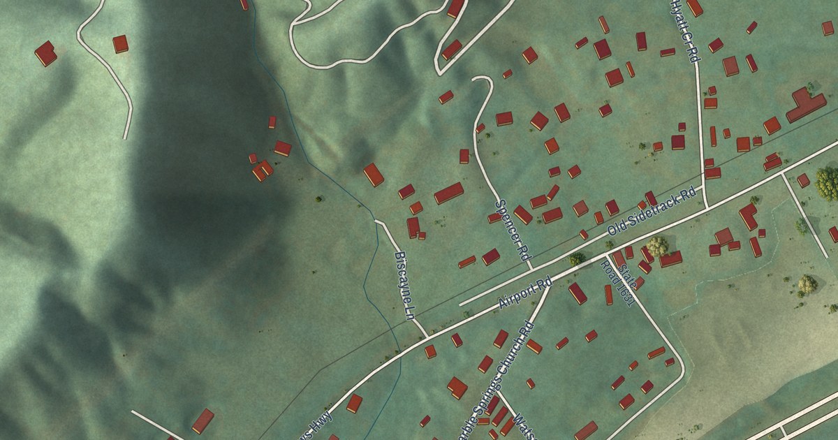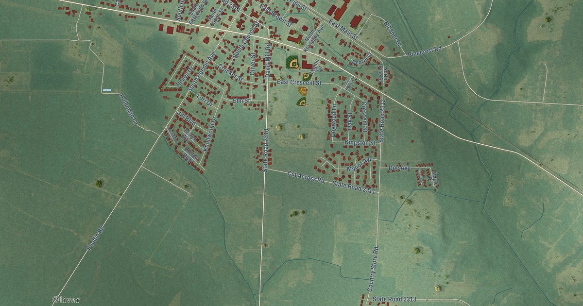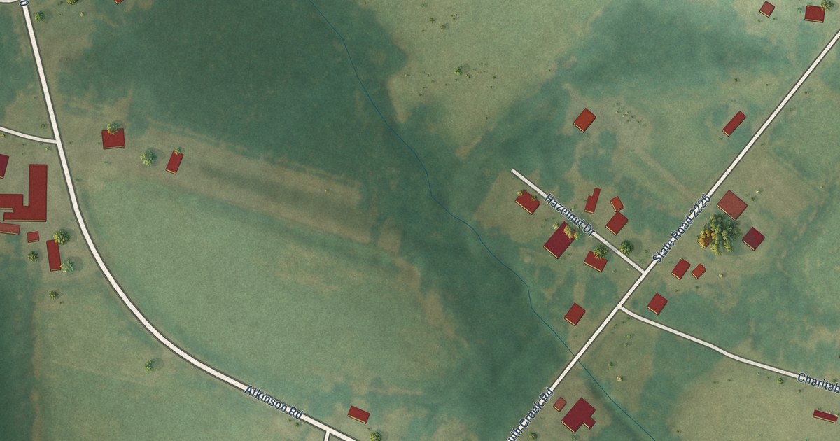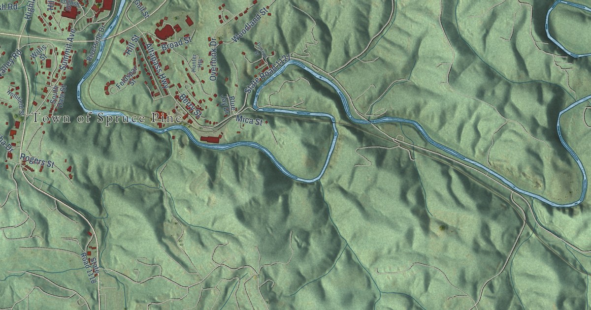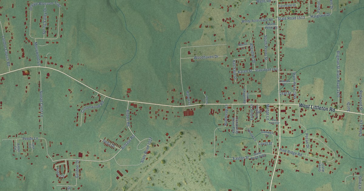
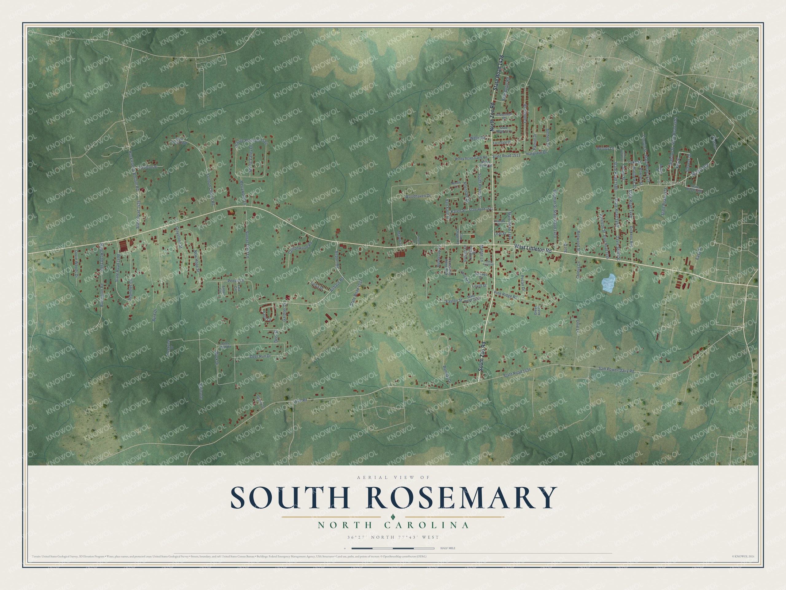
This beautifully detailed map of South Rosemary, North Carolina was created in 2026 using aerial imagery combined with modern topographical, census, street and landmark data. It's a modern aerial view of South Rosemary in Halifax County, North Carolina, that combines modern data with a vintage aesthetic. The roads feature printed names, and if you look closely you can find your exact house accurately shown in its correct location.
Explore an aerial view of South Rosemary, North Carolina
On this map you'll find Rosemary, South Zoo Road, West Littleton Road, State Road 1426, North Zoo Road, Airbase Road, Stevens Drive, Branch Avenue, Loop Road, Airport Road, Sam Powell Dairy Road, State Road 1434, and more. Each red shape is a building, so zoom in on the preview and look for yours.
Every town has a first chapter, and South Rosemary is no exception. In 1947 South Rosemary residents used their own volunteer labor to put up a building for a new Methodist church. A church survey had counted seven to eight hundred people in the community, most with no local church, and the local Kiwanis club paid for the building materials. The club also sponsored the South Rosemary Scout troop, and the Scouts were promised a lasting place to meet and keep their gear in the building. The lot came from Mr. and Mrs. Robert Medlin. That's from the Roanoke Rapids Herald.
South Rosemary is a community in Halifax County. The Census Bureau counted 2,753 people here in 2020. South Rosemary sits about 4 miles west of Roanoke Rapids, 5 miles southwest of Gaston and 6 miles west of Weldon. The map prints the town name in its title panel, with the coordinates below it.
Take a closer look at the South Rosemary map
Names on this map
These names are printed on this map.
Places: Rosemary and Community Home Park.
Streets and roads: South Zoo Road, West Littleton Road, State Road 1426, North Zoo Road, Airbase Road, Stevens Drive, Branch Avenue, Loop Road, Airport Road, Sam Powell Dairy Road, State Road 1434, State Road 1450.
More street names, A to Z
Allendale Drive, Anthem Drive, Antler Circle, Bald Eagle Drive, Blue Angel Road, Bowser Street, Brigman Street, Buck Drive, Bullington Road, Buttercup Lane, Byrd Drive, Carver Street, Cloverleaf Drive, Coleus Lane, Colonial Drive, Conwell Drive, Cottonwood Road, Creekview Drive, Davie Smith Street, Davie Woods Drive, Daylily Drive, Deer Run Drive, Deer Run Road, Deer Street, Delta Drive, Dickens Avenue, Easton Street, Easy Street, Farmdale Drive, Faulcon Street, Flax Lane, Gardner Drive, Godley Street, Graystone Street, Green Ash Court, Gum Chapel Road, Hargrave Drive, Harrison Street, Huckleberry Bottom Road, Karen Street, Key Street, Kingston Street, Leaf Street, Linbrook Drive, Lincoln Street, London Church Road, Lovitt Street, Luke Street, Lupine Lane, Madge Lane, Mallow Lane, Matthews Street, Melody Lane, Merrywood Lane, New Hope Street, Norris Lane, North Penny Street, Ollie Lane, Orange Blossom Trail, Patriot Drive, Pecan Drive, Peede Lane, Pine Ridge Road, Radar Circle, Redwood Street, Reynolds Circle, Runway Drive, Sol Drive, South Penny Street, Spring Valley Drive, State Road 1425, State Road 1444, State Road 1448, State Road 1449, State Road 1452, State Road 1460, State Road 1462, State Road 1463, State Road 1470, State Road 1478, State Road 1479, State Road 1480, State Road 1487, State Road 1490, State Road 1498, State Road 1507, State Road 1511, State Road 1513, State Road 1527, State Road 1571, Sunset Crest Lane, Tara Circle, Varina Drive, Verbena Lane, Walston Street, Wells Road, Windy Acres Farm Road, Woodhaven Drive, Yarrow Lane.
See it on a wall
The South Rosemary map as a framed print. Swipe for more.


Created by KNOWOL in 2026. The buildings are small red shapes, the roads carry their printed names, and shaded relief shows the shape of the land. The title panel reads "AERIAL VIEW OF SOUTH ROSEMARY, NORTH CAROLINA" with 36°27' NORTH 77°43' WEST.
Hang it in the hallway, the office or the cabin, or give it to someone who left South Rosemary and still calls it home. Open the preview and look for a street you know. See sizes and frames for the South Rosemary map.