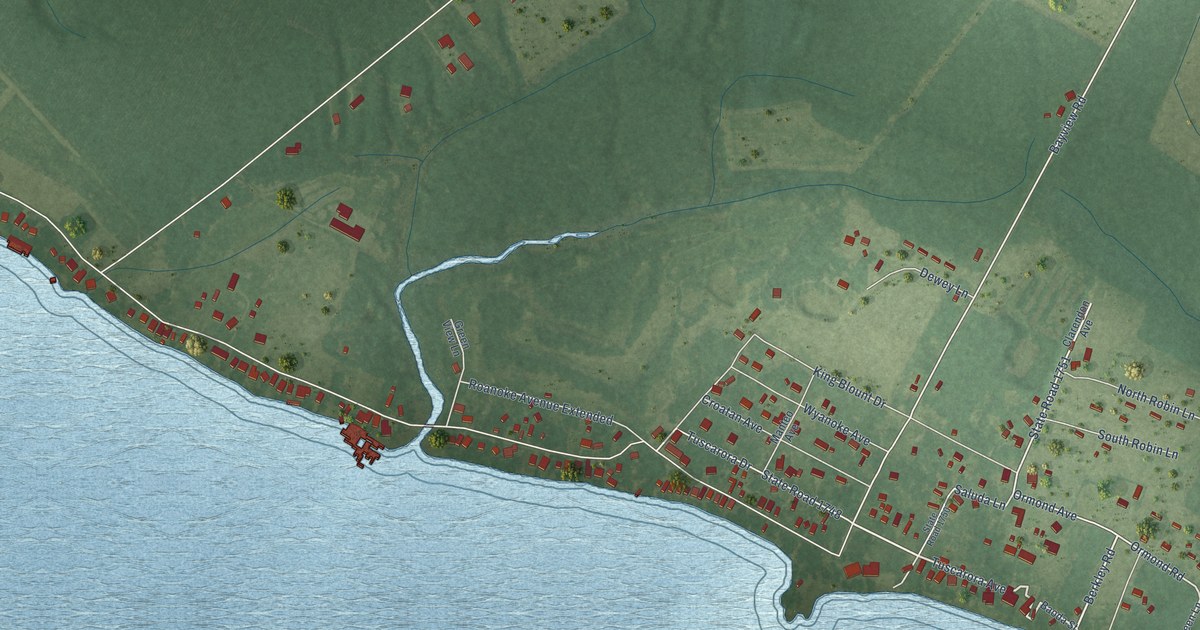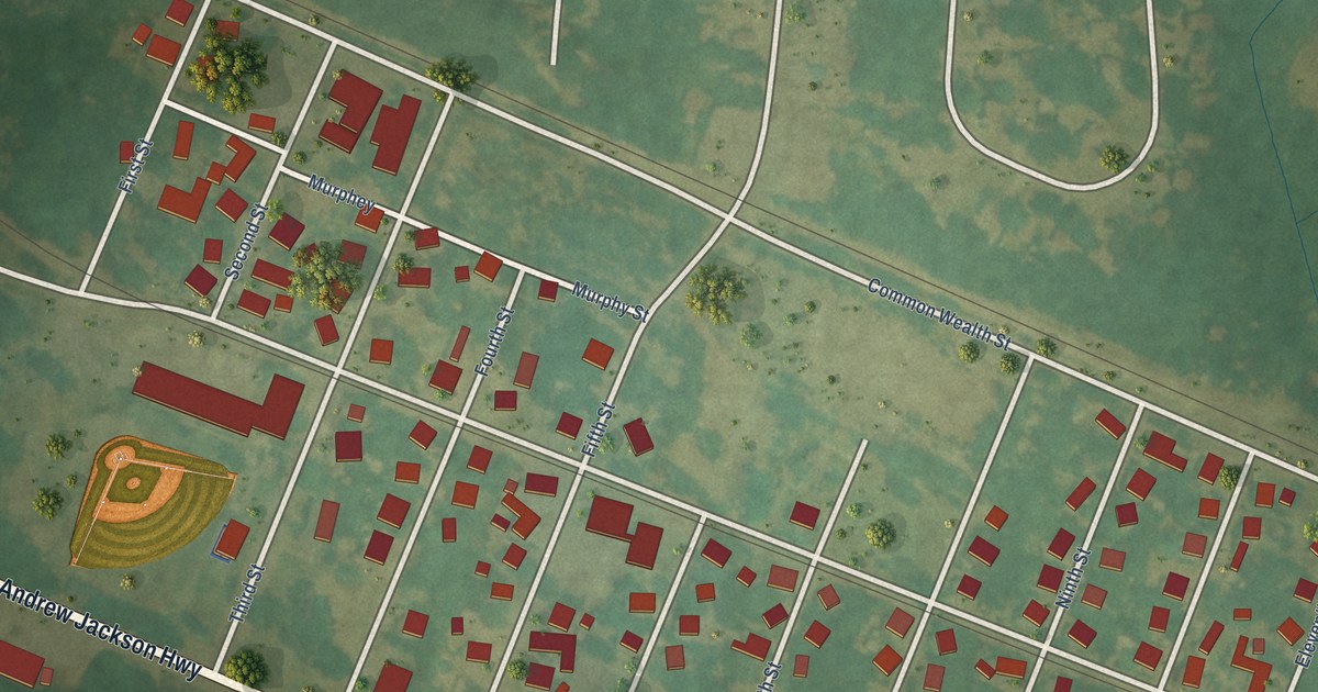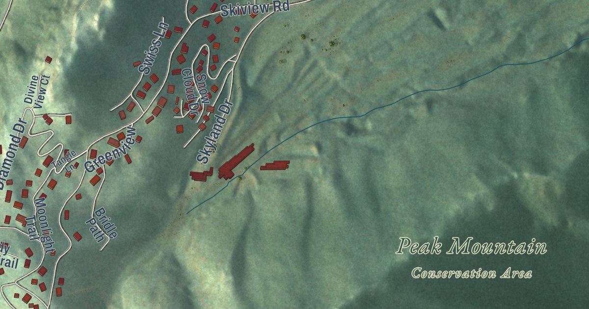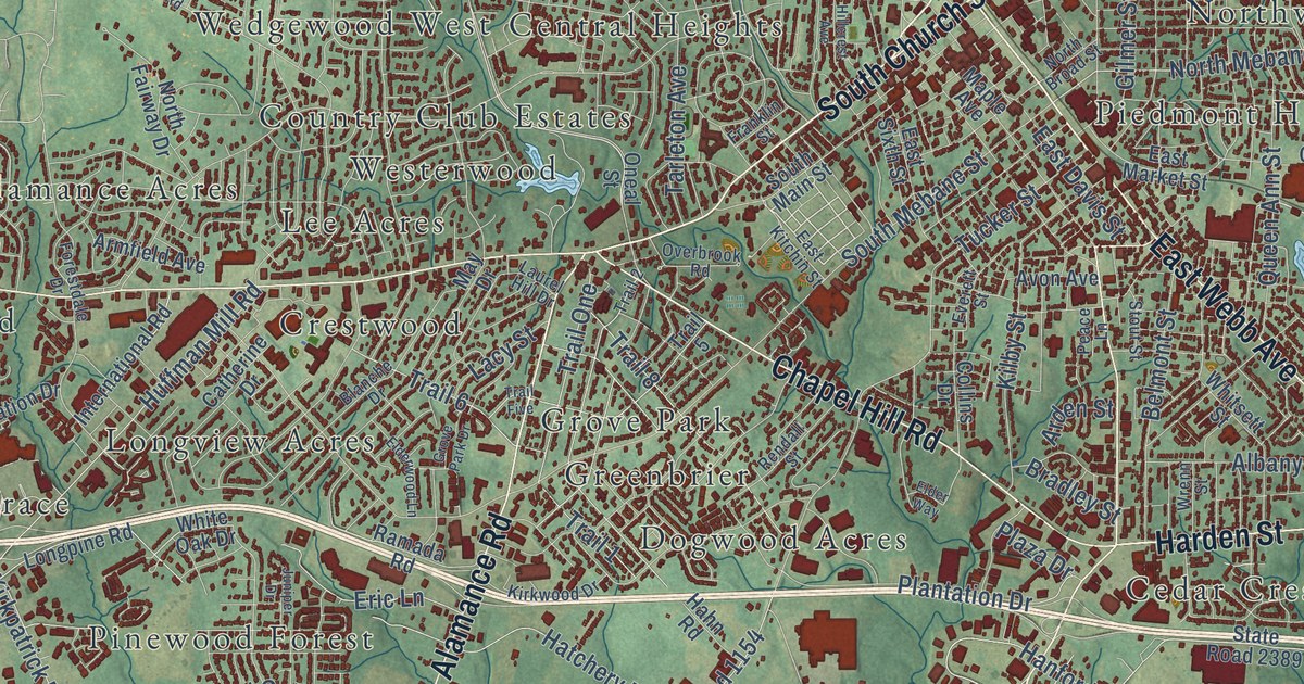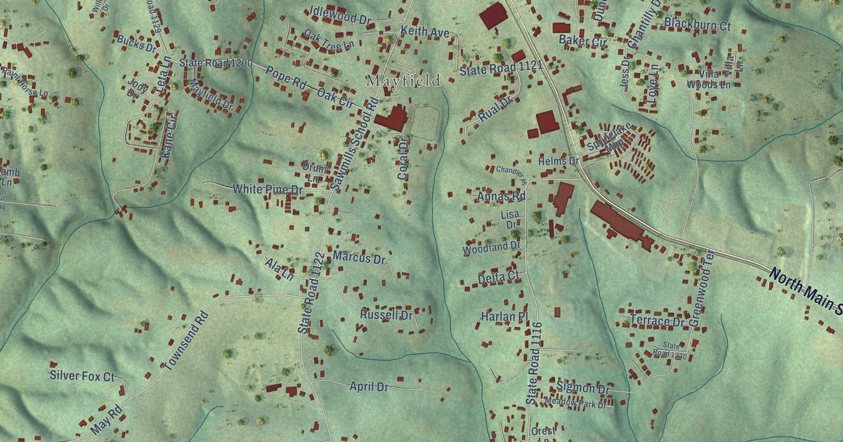
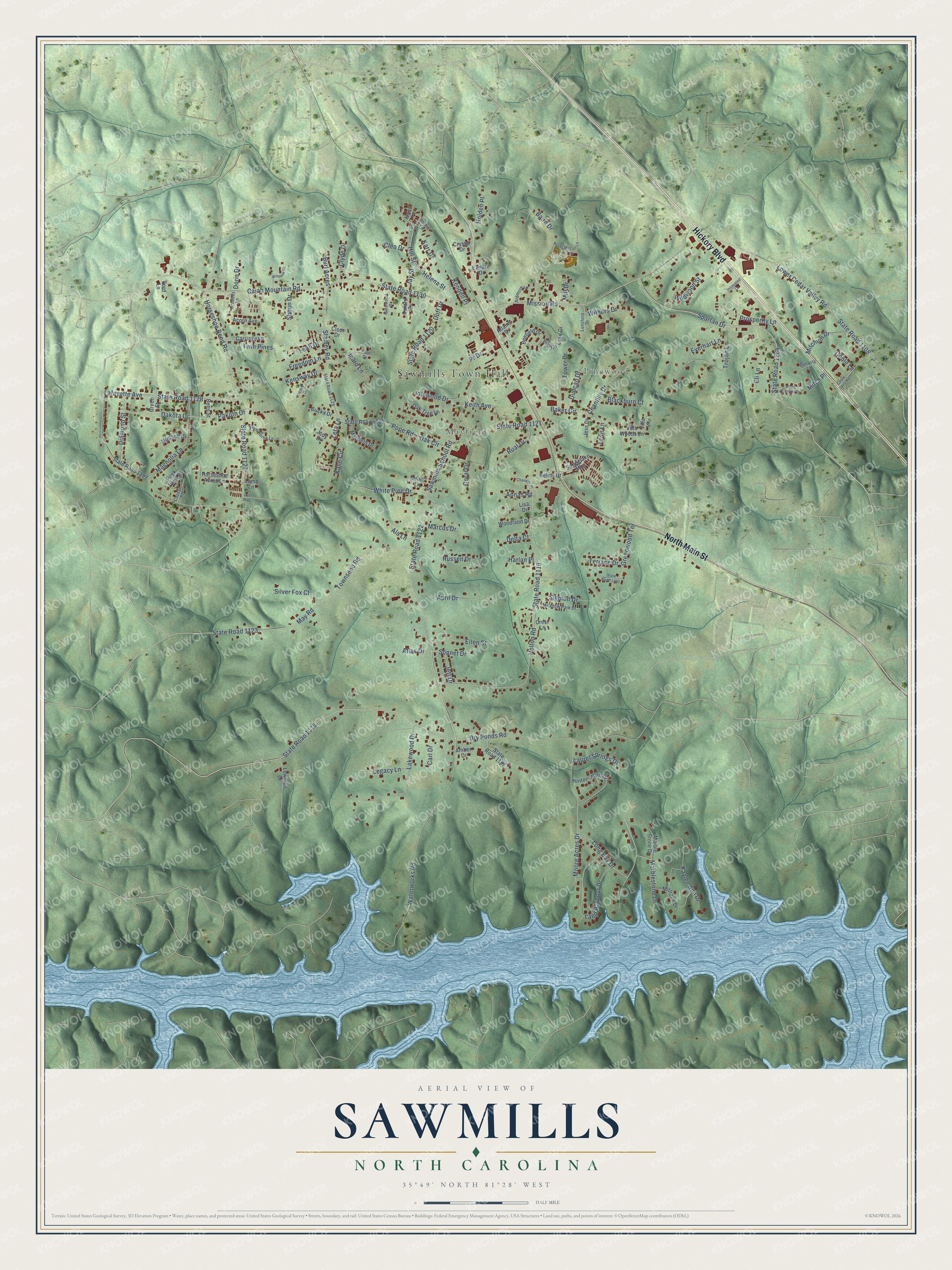
This beautifully detailed map of Sawmills, North Carolina was created in 2026 using aerial imagery combined with modern topographical, census, street and landmark data. It’s a one-of-a-kind view of Sawmills that combines accurate data with a vintage aesthetic. The map shows every building in its true location, many of the roads carry their names, and the shaded topographic relief shows the shape of the land.
Explore an aerial view of Sawmills, North Carolina
On the map you’ll find Sawmills Town Hall, Pinewood, Mayfield, and Baird Park, along with Hickory Boulevard, North Main Street, Sawmills School Road, State Road 1122, Long Bay Drive, State Road 1128, Lafayette Avenue, Spartan Drive, and more. If you look closely you can even find your house accurately drawn in its correct location. Zoom in on the preview to look for yours.
Did you know this piece of Sawmills, North Carolina history?
From the Town of Sawmills: "Sawmills, the community, began in the late 1800's. The name of the area was Sawmills because of the sawmills, which setup operation due to the timber industry. The railroad was one of the main reasons for the sawmills to locate there."
Take a closer look at the Sawmills map
Street and place names on the Sawmills, North Carolina map
These names are printed on the map of Sawmills, North Carolina.
Places: Sawmills Town Hall, Pinewood, Mayfield and Baird Park.
Streets and roads: Hickory Boulevard, North Main Street, Sawmills School Road, State Road 1122, Long Bay Drive, State Road 1128, Lafayette Avenue, Spartan Drive, State Road 1115, Kane Circle, Ala Lane, State Road 1108.
More street names, A to Z
Acorn Avenue, Adams Drive, Alexis Lane, Amber Drive, Annas Road, April Drive, Ardmore Lane, Atlas Drive, Baird Drive, Baker Circle, Benfield Drive, Betts Street, Blackburn Court, Broadus Lane, Bucks Drive, Burl Acres, Cajah Mountain Road, Carl Drive, Carriage Lane, Caseys Place, Chandler Place, Chantilly Drive, Cleo Drive, Cloer Drive, Clyde Drive, Coble Dairy Road, Coble Lane, Coral Drive, Crest Lane, Crystal Drive, Dakota Drive, Delta Court, Diamond Street, Doris Drive, Drum Lane, Dry Ponds Road, Duff Drive, Duncan Drive, Dynasty Lane, Eli Lane, Ellen Street, Elmore Drive, Everhart Lane, Ford Lane, Freedom Lane, Gatewood Drive, Green Street, Greenwood Terrace, Harlan Place, Helena Street, Helms Drive, Helton Road, Hill Street, Holden Place, Horseshoe Acres Lane, Horseshoe Bend Road, Hunters Path Drive, Icard Lane, Idlewood Drive, Innovated Lane, Jay Street, Jess Drive, Jett Drive, Jody Drive, Karr Drive, Kaylee Ann Drive, Keith Avenue, Kendell Place, Kensway Drive, Lakewood Drive, Lamb Lane, Land Harbour Drive, Laurel Springs Drive, Leah Drive, Legacy Lane, Leta Lane, Lisa Drive, Lower Cedar Valley Road, Lowman Drive, Loye Lane, Lunsford Drive, Magnolia Lane, Marblestone Drive, Marble Stone Drive, Marcus Drive, Mayfield Drive, May Road, Meadow Park Drive, Midland Drive, Mill Drive, Millrace Drive, Mission Road, Mitch Place, Mitchum Drive, Moore Acres Drive, Oak Circle, Oak Tree Lane, Our Way, Oxford Drive, Paint Horse Lane, Pakoth Drive, Paul Drive, Phillip Lane, Pope Road, Poplar Lake Drive, Pr Drive, Prosperity Lane, Rock View Place, Roger McCall Lane, Rual Drive, Russell Drive, Shoun Drive, Sigmon Drive, Silver Fox Court, Sonnet Drive, South Caldwell Drive, Springlake Mhp, Stamey Road, State Road 1116, State Road 1120, State Road 1121, State Road 1123, State Road 1127, State Road 1129, State Road 1130, State Road 1197, State Road 1200, State Road 1230, State Road 1284, State Road 1292, Terrace Drive, Tower Drive, Townsend Road, Trojan Lane, Twin Pines, Villa Lane, Villa Woods Lane, Waterworks Road, White Pine Drive, Wildwood Street, Willie Drive, Winslow Place, Withers Drive, Woodland Drive.
See the Sawmills, North Carolina map on a wall
The Sawmills map as an 18 x 24 inch print in a black frame.

This beautifully detailed map of Sawmills makes an attractive addition to your office, library, or den, and it can even be used to teach children the geography and history of the area. It also makes a great gift for anyone who grew up in Sawmills or moved away. When you’re done exploring, click here to get your copy of the Sawmills map.