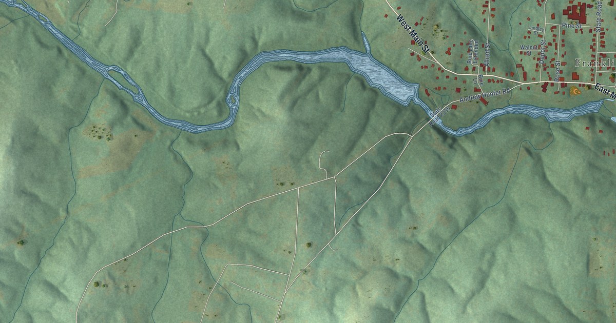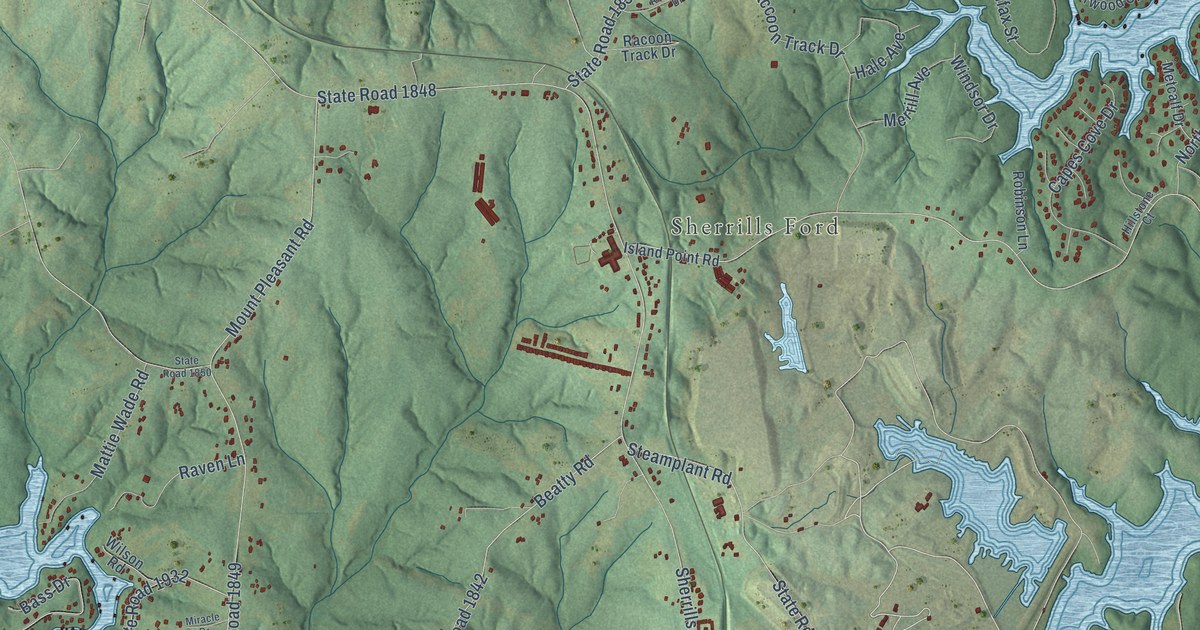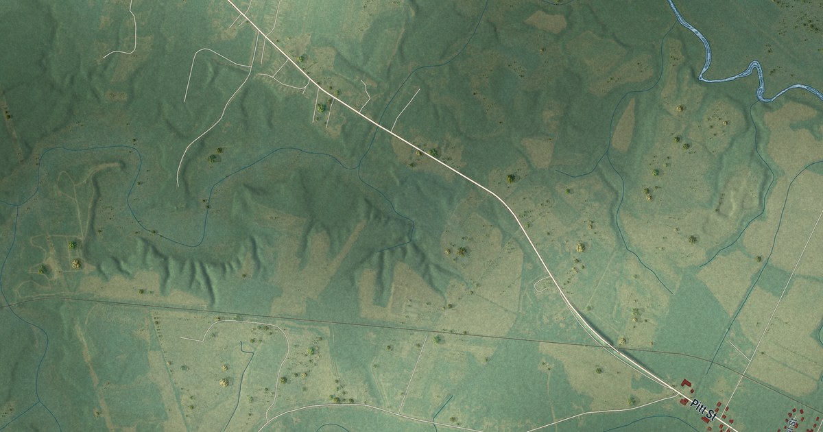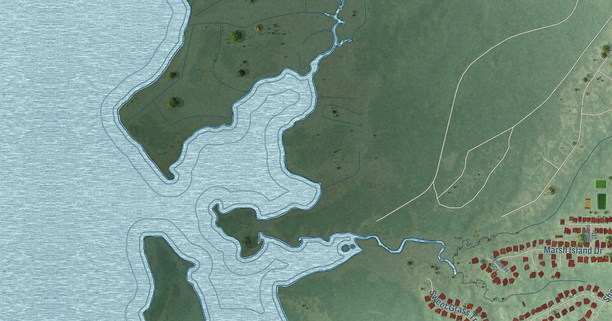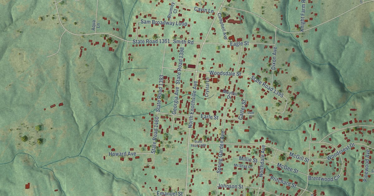
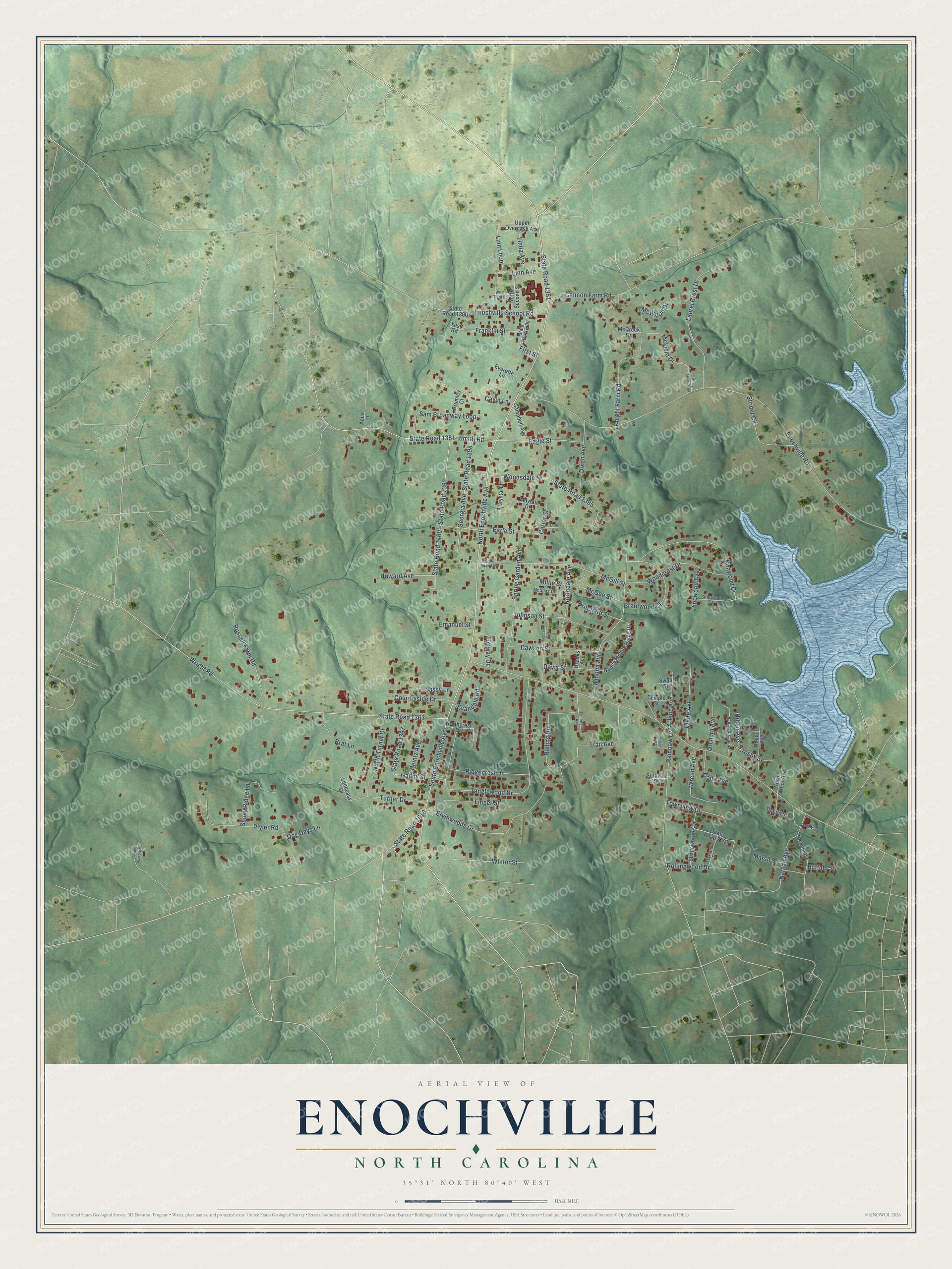
This beautifully detailed map of Enochville, North Carolina was created in 2026 using aerial imagery combined with modern topographical, census, street and landmark data. It's a modern aerial view of Enochville in Rowan County, North Carolina, that combines modern data with a vintage aesthetic. The roads feature printed names, and if you look closely you can find your exact house accurately shown in its correct location.
Explore an aerial view of Enochville, North Carolina
On this map you'll find North Enochville Avenue, South Enochville Avenue, State Road 1351, Rainbow Drive, Enochville Road, State Road 1363, Wright Road, Tanglewood Drive, Spring Garden Avenue, Cannon Farm Road, Howard Avenue, State Road 1395, and more. Each red shape is a building, so zoom in on the preview and look for yours.
Here is a piece of Enochville history. Enochville took its name from St. Enoch's Evangelical Lutheran Church. The town in southwestern Rowan County was incorporated in 1877, and a post office opened there in 1887. That's from the NC Division of Archives and History.
Enochville is a community in Rowan County. The Census Bureau counted 2,893 people here in 2020. Enochville sits about 3 miles northwest of Kannapolis, 4 miles southwest of Landis and 6 miles southwest of China Grove. The map prints the town name in its title panel, with the coordinates below it.
Take a closer look at the Enochville map
Names on this map
These names are printed on this map.
Streets and roads: North Enochville Avenue, South Enochville Avenue, State Road 1351, Rainbow Drive, Enochville Road, State Road 1363, Wright Road, Tanglewood Drive, Spring Garden Avenue, Cannon Farm Road, Howard Avenue, State Road 1395.
More street names, A to Z
Aqua Lane, Arlene Avenue, Brat Lane, Brentwood Circle, Brooks Avenue, Brumley Court, Buffalo Street, Campbell Avenue, Carter Street, Cavin Lane, Countryside Drive, Crest Street, Crosby Street, Crystal Lane, Dale Street, Daniel Street, Davis Street, Dawson Street, Denny Rumple Road, Dexter Avenue, Dixon Avenue, Dog Days Lane, Dusty Oaks Trail, Eagle Street, Earle Street, Emanuel Street, Enochville School Road, Ervinwoods Drive, Evandale Road, Everette Lane, Fellowship Avenue, Finch Street, Finger Street, First Street, Franklin Street, Gaddy Mobile Home Drive, Gaddy Street, Georgia Avenue, Heintz Avenue, Hilton Avenue, Homestead Avenue, Johnson Street, Kenwood Drive, Knight Farm Road, Laurel Crest Drive, Lenncass Drive, Linda Avenue, Linn Avenue, Linn Loop, Marsh Street, Mayfair Drive, McCreek Drive, McField Drive, McGee Street, McGill Street, McShag Drive, McWood Drive, Millie Street, Nathan Avenue, Newell Avenue, North Arbor Avenue, Northcrest Drive, Northdale Avenue, North Second Street, North Turner Drive, Oakland Drive, Orchard Avenue, Overcash Avenue, Pembrook Lane, Pinewood Avenue, Plyler Road, Pritchard Street, Ridgecrest Drive, Rolling Road, Rollingwood Drive, Russell Farm Road, Sam Broadway Loop, Sassy Lane, Shadowbrook Drive, Sherwood Street, Smith Road, State Road 1360, State Road 1361, State Road 1367, State Road 1393, State Road 1398, State Road 1400, State Road 1460, State Road 1489, State Road 1616, State Road 2702, Strider Circle, Sullivan Street, Sunny Ridge Lane, Swan Street, Temple Street, Timway Drive, Townview Drive, Trade Avenue, Trail Avenue, Turner Drive, Upper Overcash Avenue, West Third Street, White Avenue, Winona Avenue, Winter Street, Woodcrest Drive, Woodsdale Street, Wrenn Avenue, Yost Road.
See it on a wall
The Enochville map as a framed print. Swipe for more.


Created by KNOWOL in 2026. The buildings are small red shapes, the roads carry their printed names, and shaded relief shows the shape of the land. The title panel reads "AERIAL VIEW OF ENOCHVILLE, NORTH CAROLINA" with 35°31' NORTH 80°40' WEST.
It suits a den, a classroom or a front hall, and it makes a gift for anyone with Enochville roots. Open the preview and find the block you know. See sizes and frames for the Enochville map.