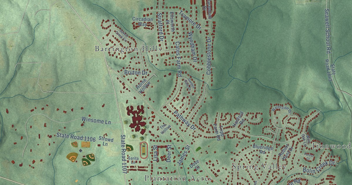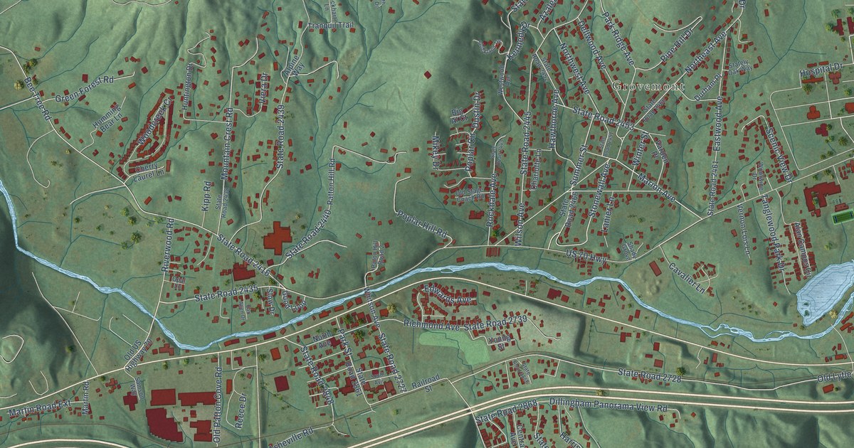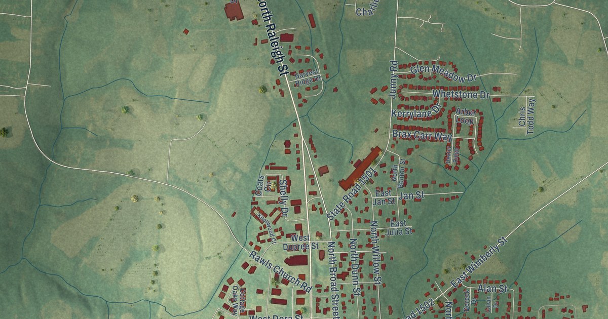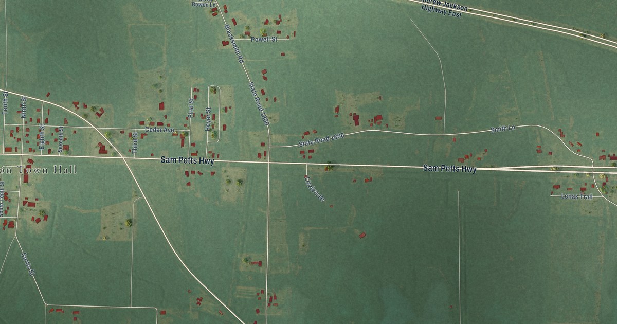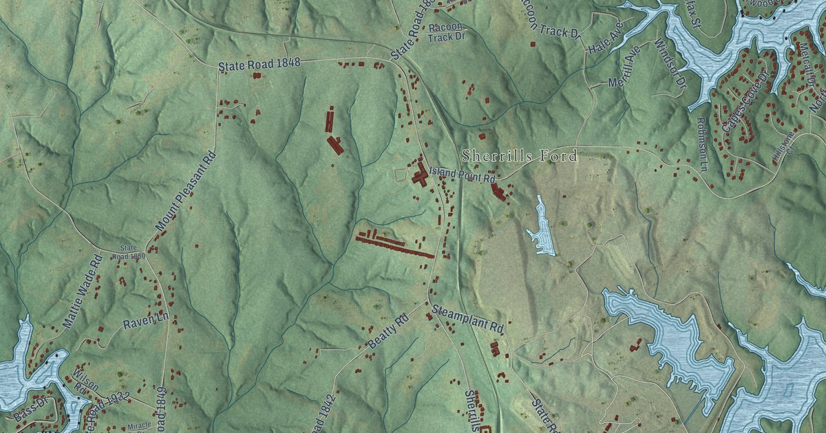
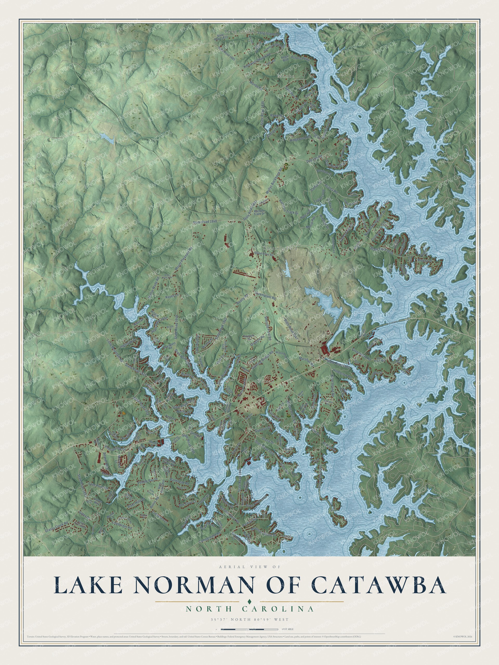
This beautifully detailed map of Lake Norman of Catawba, North Carolina was created in 2026 using aerial imagery combined with modern topographical, census, street and landmark data. It's a modern aerial view of Lake Norman of Catawba in Catawba County, North Carolina, that combines modern data with a vintage aesthetic. The roads feature printed names, and if you look closely you can find your exact house accurately shown in its correct location.
Explore an aerial view of Lake Norman of Catawba, North Carolina
On this map you'll find Monbo, Terrell, Sherrills Ford, Long Island, Azalea Road, State Road 1934, State Road 1835, State Road 1961, Barkley Road, Campground Road, Drena Drive, Burton Street, and more. Each red shape is a building, so zoom in on the preview and look for yours.
Lake Norman of Catawba has a story worth telling. The North Carolina Cultural Resources puts it this way: "Lake Norman now covers more than 32,000 acres, making it the largest manmade body of water in North Carolina."
Lake Norman of Catawba is a community in Catawba County. The Census Bureau counted 8,658 people here in 2020.
Take a closer look at the Lake Norman of Catawba map
Names on this map
These names are printed on this map.
Places: Monbo, Terrell, Sherrills Ford and Long Island.
Streets and roads: Azalea Road, State Road 1934, State Road 1835, State Road 1961, Barkley Road, Campground Road, Drena Drive, Burton Street, State Road 1844, Slanting Bridge Road, State Road 1837, Lineberger Road.
More street names, A to Z
Adeline Lane, Amandine Way, Aspen Court, Astoria Parkway, Babe Drive, Bach Drive, Bankhead Road, Barbrick Street, Bass Drive, Bay Cove Court, Bayleaf Lane, Beargrass Road, Beatty Road, Beaver Boulevard, Blackwelder Road, Bouy Lane, Burnhurst Lane, Burris Road, Camden Pointe Drive, Camelia Pointe Drive, Capes Cove Drive, Cascade Street, Chapin Lane, Chevlot Hill Road, Chevlot Hills Road, Chick Drive, Chubs Lane, Clipper Court, Cobblefield Lane, Colfax Drive, Colfax Street, Crofte Drive, Cypress Street, Dockside Lane, Dog Leg Road, Dove Drive, Duffy Drive, Echo Cove Road, Eli Drive, Emerald Isle Drive, Emma Love Lane, Energy Lane, Enoch Drive, Fair Oak Drive, Felts Road, Fighting Creek Road, Fir Road, Flat Rock Road, Gates Drive, Giles Avenue, Gold Finch Drive, Goose Point Drive, Gordon Street, Granite Street, Grassy Creek Road, Greenwood Road, Gregory Road, Hale Avenue, Harbor Circle, Harrys Lane, Harvell Road, Helens Way, Hillstone Court, Hill Street, Hob Lane, Holdsclaw Road, Hopewell Church Road, Howard Drive, Ina Lane, Ingleside Drive, Island Point Road, James Court, Jefferson Street, Karriker Lane, Keistler Store Road, Keith Street, Keven Circle, Killian Crossing Drive, Kiser Island Road, Klondale Street, Lake Bluff Drive, Langdon Road, Legrand Drive, Lineberger Loop Road, Little Mountain Road, Little Road, Locke Drive, Logan Loop, Long Island Road, Love Point Road, Lynbrook Creek Road, Lynwood Lane, Mallard Cv, Marina Lane, Marshall Road, Mattie Wade Road, Mayberry Lane, McCorkle Lane, McDonald Drive, McGee Point Road, Melica Drive, Merrill Avenue, Metcalf Drive, Mill Run Road, Miracle Drive, Mocassin Drive, Mollys Backbone Road, Monbo Road, Moore Street, Mooring Place, Mountain Shore Drive, Mount Pleasant Road, Mundy Lane, Nancy Lee Circle, Navajo Trail, Nolley Lane, Norman Drive, Norman View Drive, Northview Harbour Drive, Oakwood Circle, Paradise Cv, Pebble Bay Drive, Peninsula Lane, Penngate Drive, Pleasant Lane, Pointe Norman Drive, Popular Lane, Raccoon Track Drive, Racoon Track Drive, Raven Lane, Raynard Street, Regal Boulevard, Reid Circle, Ridgeview Drive, Ridgewood Road, Right Angle Street, River Hills Drive, Riviera Drive, Robinson Lane, Ron Whicker Drive, Rosedale Street, Roundstone Road, Rowe Street, Rufty Street, Sail Pointe Drive, Saunders Drive, Sawgrass Court, Shade Tree Lane, Shasta Lane, Sherrills Ford Road, Sherwood Court, Skyline Drive, State Road 1815, State Road 1833, State Road 1836, State Road 1838, State Road 1840, State Road 1841, State Road 1842, State Road 1843, State Road 1847, State Road 1848, State Road 1849, State Road 1850, State Road 1852, State Road 1853, State Road 1885, State Road 1898, State Road 1899, State Road 1901, State Road 1918, State Road 1932, State Road 1950, State Road 1952, State Road 1954, State Road 1963, State Road 1971, State Road 1975, State Road 1976, State Road 1983, Steamplant Road, Still Knoll Lane, Stone Lane, Stonewall Street, Stutts Street, Summerhill Drive, Summit Ridge Drive, Surfwood Drive, Sylvan Drive, Tallent Court, Tee Street, Todd Street, Trent Pines Court, Trestle Lane, Vinewood Road, Water View Lane, Wickford Lane, Wildlife Lane, Wilson Road, Windsor Drive, Worth Street.
Created by KNOWOL in 2026. The buildings are small red shapes, the roads carry their printed names, and shaded relief shows the shape of the land. The title panel reads "AERIAL VIEW OF LAKE NORMAN OF CATAWBA NORTH CAROLINA" with 35°37' NORTH 80°59' WEST.
It looks right in a kitchen, an office or a den, and it's a gift for anyone who grew up in Lake Norman of Catawba or moved away. Open the preview and find your street. See sizes and frames for the Lake Norman of Catawba map.