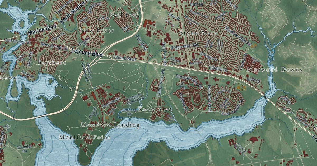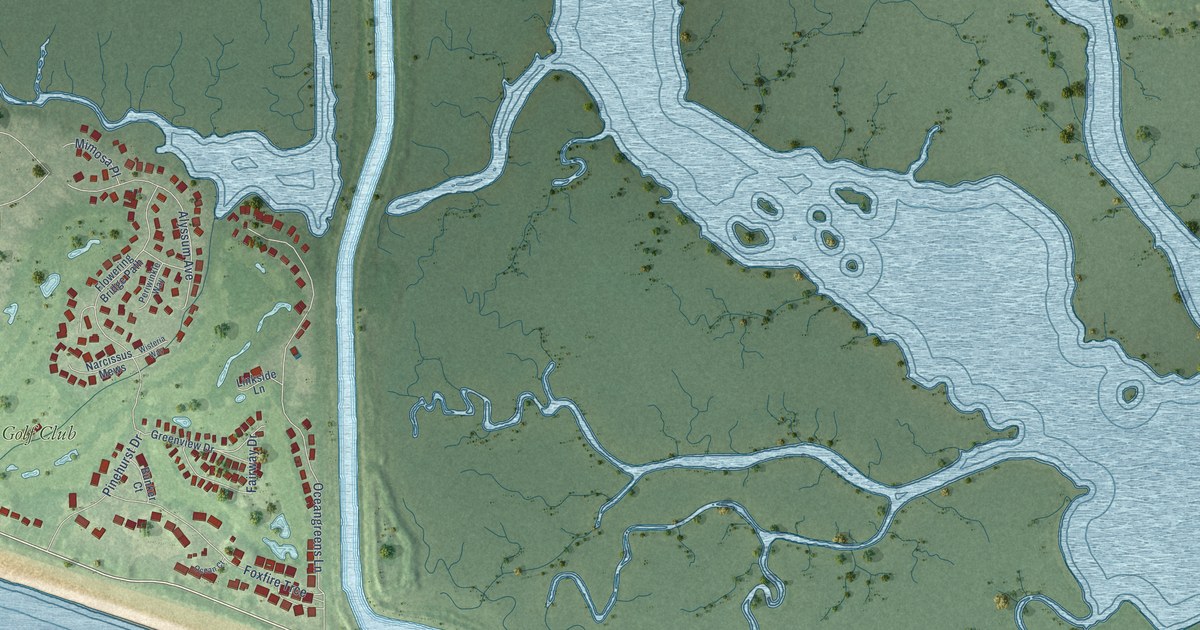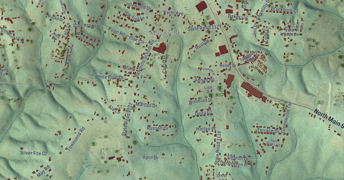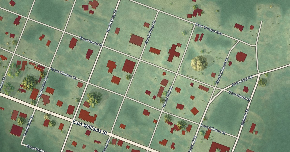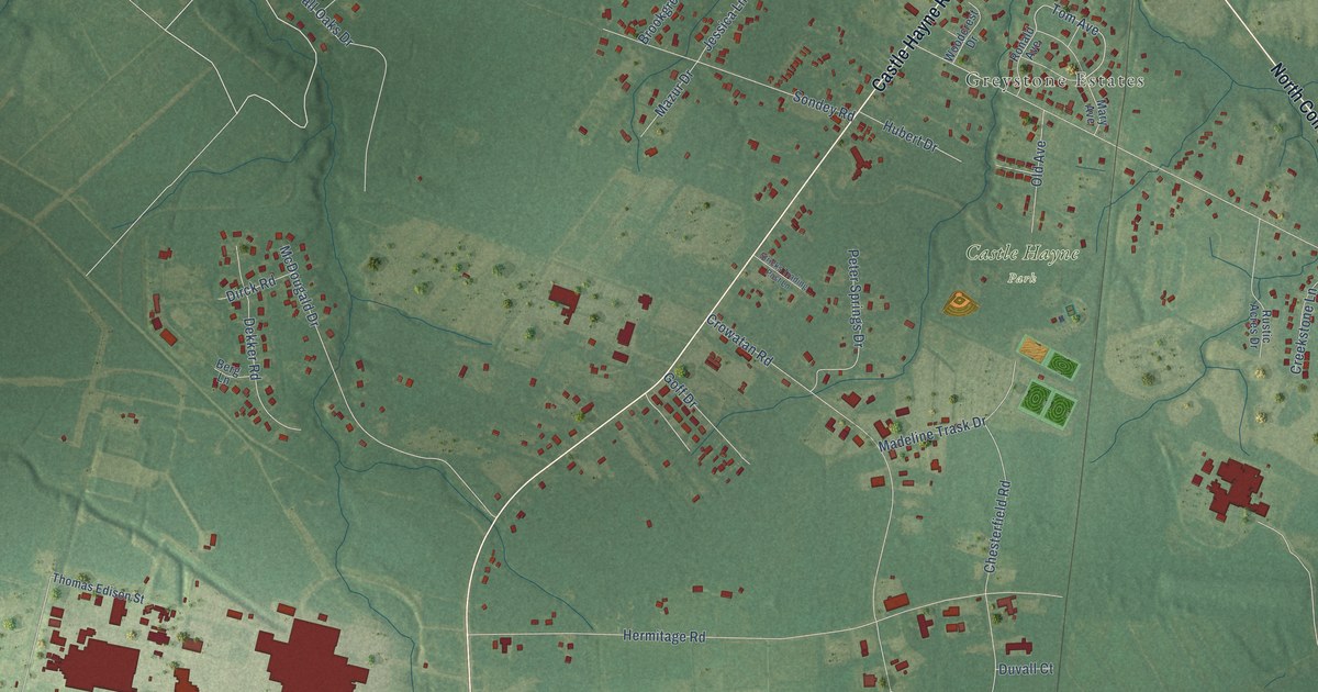
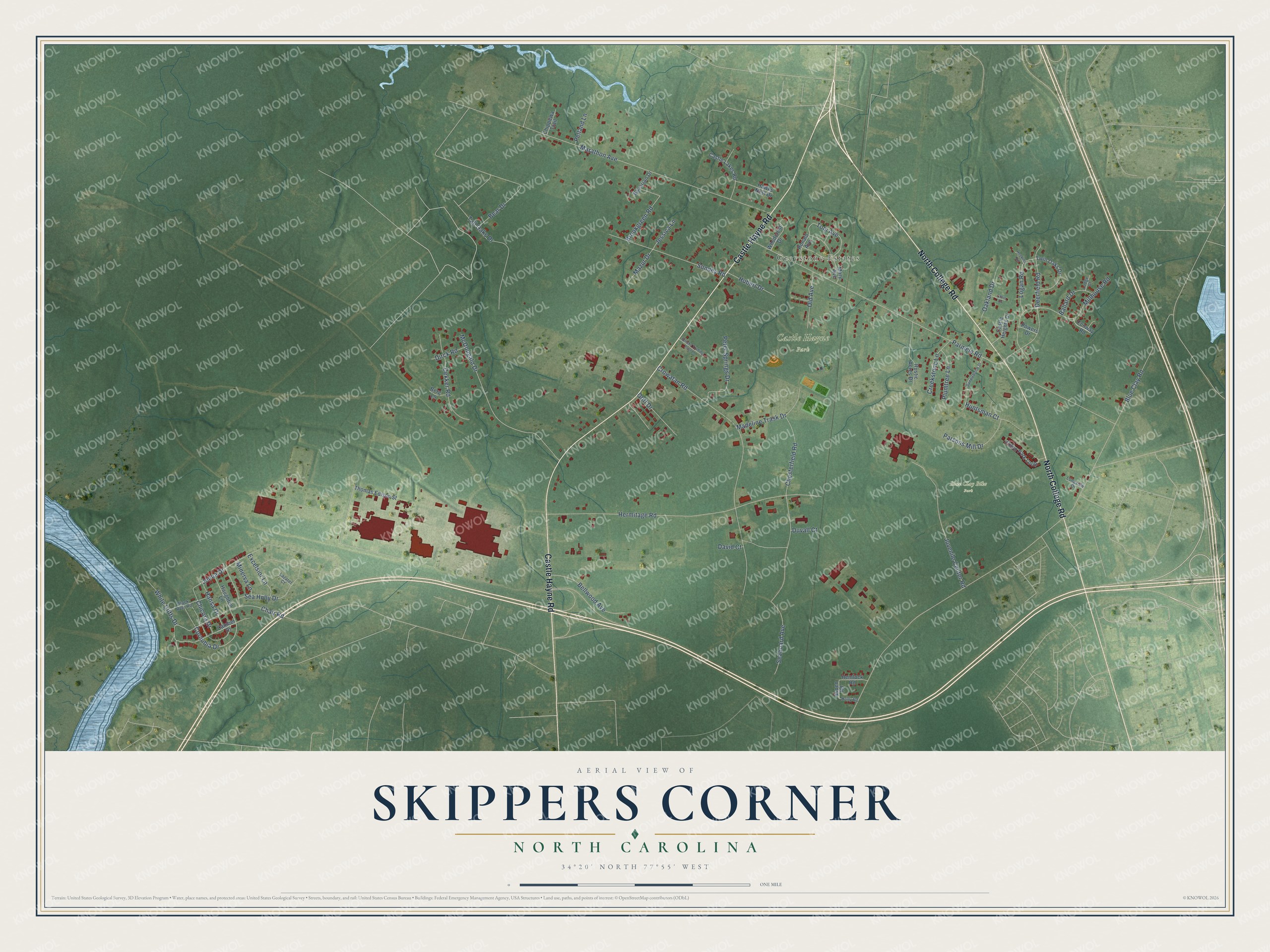
This beautifully detailed map of Skippers Corner, North Carolina was created in 2026 using aerial imagery combined with modern topographical, census, street and landmark data. It's a modern aerial view of Skippers Corner in New Hanover County, North Carolina, that combines modern data with a vintage aesthetic. The roads feature printed names, and if you look closely you can find your exact house accurately shown in its correct location.
Explore an aerial view of Skippers Corner, North Carolina
On this map you'll find Greystone Estates, Blue Clay Bike Park, Castle Hayne Park, Castle Hayne Road, North College Road, Chair Road, Cornubia Drive, Tom Avenue, Blue Clay Road, Parmele Road, Hermitage Road, Crowatan Road, and more. Each red shape is a building, so zoom in on the preview and look for yours.
Skippers Corner is a community in New Hanover County. The Census Bureau counted 2,912 people here in 2020. Skippers Corner sits about 2 miles south of Castle Hayne, 2 miles northwest of Blue Clay Farms and 2 miles northwest of Northchase. The map prints the town name in its title panel, with the coordinates below it.
Take a closer look at the Skippers Corner map
Names on this map
These names are printed on this map.
Places: Greystone Estates, Blue Clay Bike Park and Castle Hayne Park.
Streets and roads: Castle Hayne Road, North College Road, Chair Road, Cornubia Drive, Tom Avenue, Blue Clay Road, Parmele Road, Hermitage Road, Crowatan Road, Jenoa Drive, Marathon Avenue, Chesterfield Road.
More street names, A to Z
Aspen Road, Ballard Drive, Bavarian Drive, Bear Drive, Bellwood Avenue, Berg Lane, Black Rver Road, Brookgreen Road, Camber Drive, Castle Heights Drive, Castle Lakes Road, Chicora Drive, Chippewa Trail, Chris Drive, Conway Road, Creekstone Lane, David Court, Deerfield Road, Dekker Road, Dirck Road, Duvall Court, Excelsior Lane, Exton Park Loop, Goff Drive, Hansa Drive, Haughton Lane, Hawks Nest Drive, Hemlock Road, Holly Road, Hopkins Road, Hubert Drive, Huntsman Court, Jessica Lane, Juvenile Center Road, Lazaret Court, Lodge Court, Logan Road, Longview Drive, Madeline Trask Drive, Mary Avenue, Mazur Drive, McDougald Drive, Millhouse Road, Minerva Lane, Oakland Drive, Old Avenue, Parsons Mill Drive, Pelland Lane, Peter Springs Drive, Plumtree Lane, Powers Drive, Ronald Avenue, Rustic Acres Drive, Saddlebrook Drive, Seaboard Avenue, Sea Holly Drive, Sondey Road, Stricks Trading Post Lane, Tall Oaks Drive, Thomas Edison Street, Twin Oaks Drive, White Cliffs Drive, Woodcrest Drive.
See it on a wall
The Skippers Corner map as a framed print. Swipe for more.


Created by KNOWOL in 2026. The buildings are small red shapes, the roads carry their printed names, and shaded relief shows the shape of the land. The title panel reads "AERIAL VIEW OF SKIPPERS CORNER, NORTH CAROLINA" with 34°20' NORTH 77°55' WEST.
It looks right in a kitchen, an office or a den, and it's a gift for anyone who grew up in Skippers Corner or moved away. Open the preview and find your street. See sizes and frames for the Skippers Corner map.