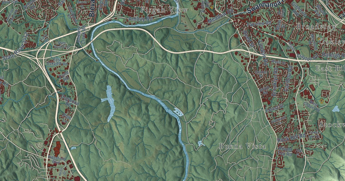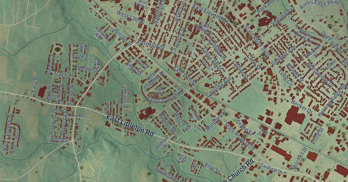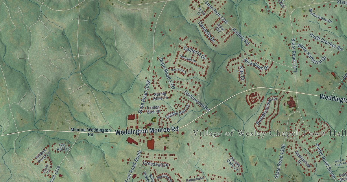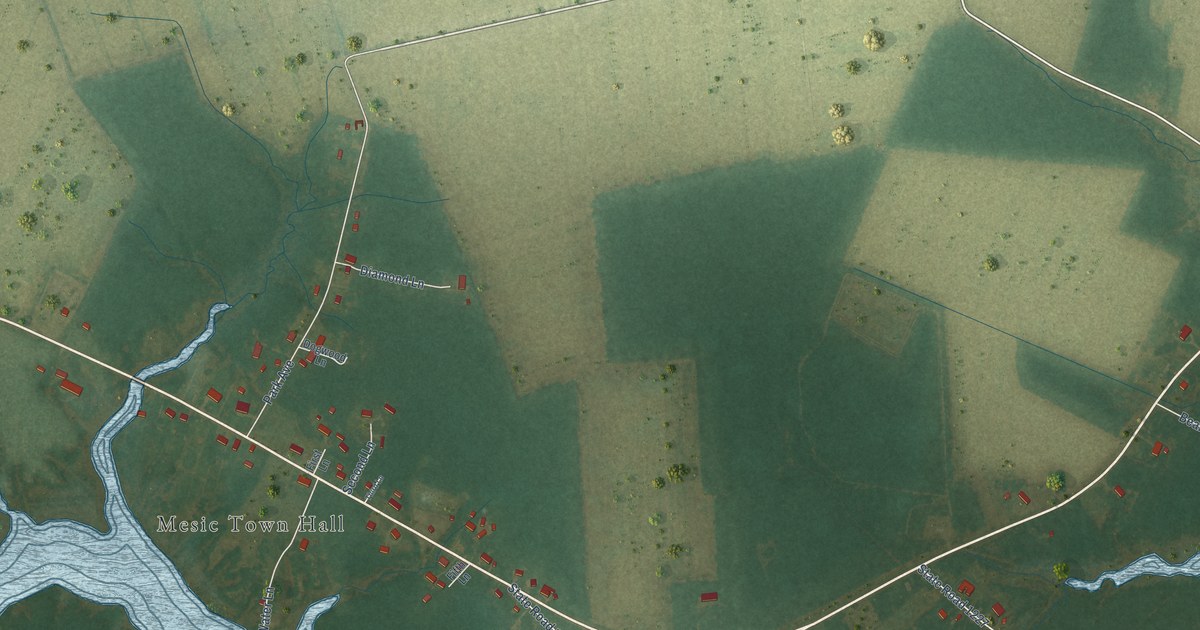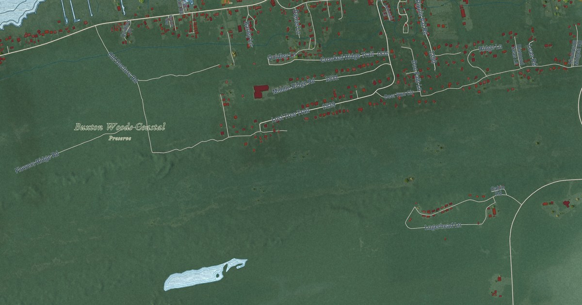
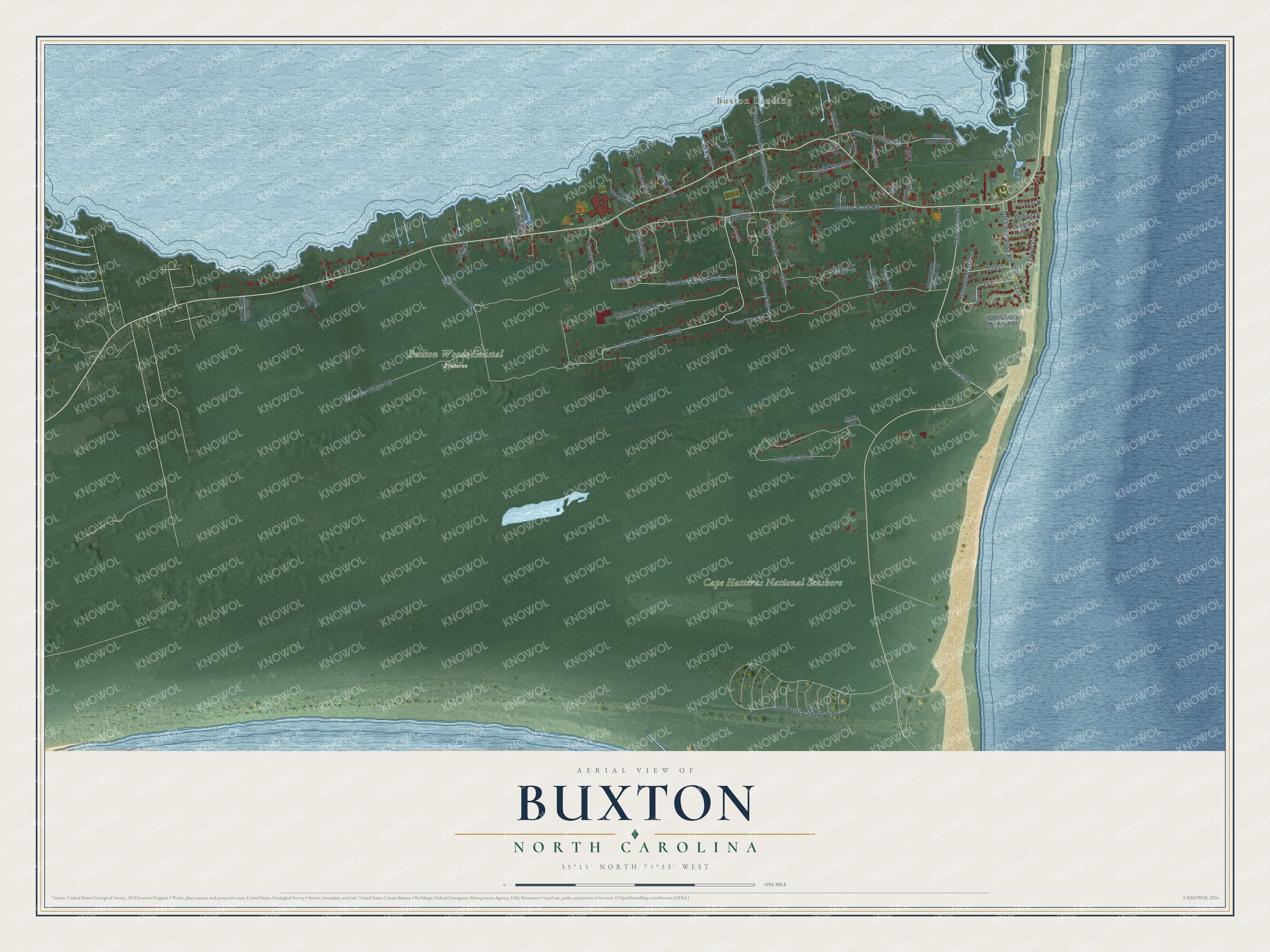
This beautifully detailed map of Buxton, North Carolina was created in 2026 using aerial imagery combined with modern topographical, census, street and landmark data. It's a modern aerial view of Buxton in Dare County, North Carolina, that combines modern data with a vintage aesthetic. The roads feature printed names, and if you look closely you can find your exact house accurately shown in its correct location.
Explore an aerial view of Buxton, North Carolina
On this map you'll find Buxton Landing, Buxton Woods Coastal Preserve, Cape Hatteras National Seashore, Lighthouse Road, Old Lighthouse Road, Crooked Ridge Trail, Flowers Ridge Road, Buxton Back Road, Cape Point Campground, Lost Tree Trail, Logerhead Lane, Forest Road, and more. Each red shape is a building, so zoom in on the preview and look for yours.
Buxton is a community in Dare County. The Census Bureau counted 1,181 people here in 2020. Buxton sits about 3 miles east of Frisco, 6 miles south of Avon and 9 miles east of Hatteras. The map prints the town name in its title panel, with the coordinates below it.
Take a closer look at the Buxton map
Names on this map
These names are printed on this map.
Places: Buxton Landing, Buxton Woods Coastal Preserve and Cape Hatteras National Seashore.
Streets and roads: Lighthouse Road, Old Lighthouse Road, Crooked Ridge Trail, Flowers Ridge Road, Buxton Back Road, Cape Point Campground, Lost Tree Trail, Logerhead Lane, Forest Road, Rocky Rollison Road, Middle Ridge Road, Old Doctors Road.
More street names, A to Z
Ballance Road, Ballance Trlr Court, Barley Lane, Bernice Lane, Buxton Cemetery Road, Cabin Road, Cape Court, Cape Pines Road, Caskey Lane, Connors Road, Cottage Avenue, Crossway Road, Daniel Lane, Decoy Drive, Deer Run Circle, Diamond Seas Lane, Diamond Shoals Drive, Dippin Vat Road, Doc Falb Lane, Ethan's Way, Farrow Way, Gaskins Lane, George Gaskins Road, Info Comm, Johnson Lane, Lean Road, Leola Lane, Light Plant Road, Maurice Burrus Road, Oak Lane, Ocean Drive, Oramar Drive, Quidley Lane, Quidley Place, Ridge Lane, Sand Road, Schooner Es Newman Drive, State Road 1230, State Road 1232, Stoney Lane, Thompson Midgett Road, Tower Circle, Wildwood South, Williams Drive.
See it on a wall
The Buxton map as a framed print. Swipe for more.


Created by KNOWOL in 2026. The buildings are small red shapes, the roads carry their printed names, and shaded relief shows the shape of the land. The title panel reads "AERIAL VIEW OF BUXTON, NORTH CAROLINA" with 35°15' NORTH 75°33' WEST.
Hang it in the hallway, the office or the cabin, or give it to someone who left Buxton and still calls it home. Open the preview and look for a street you know. See sizes and frames for the Buxton map.