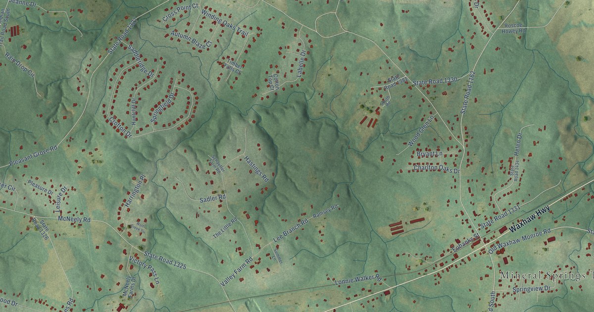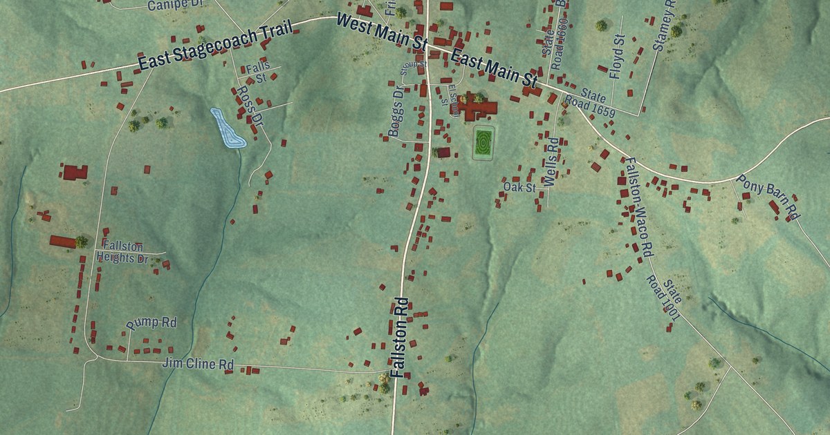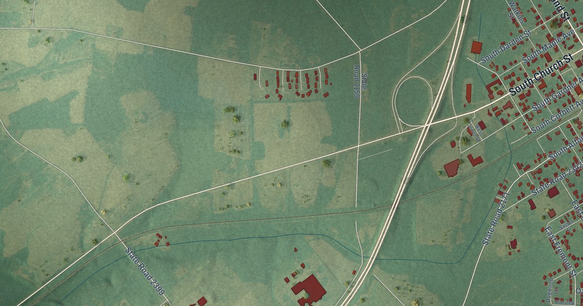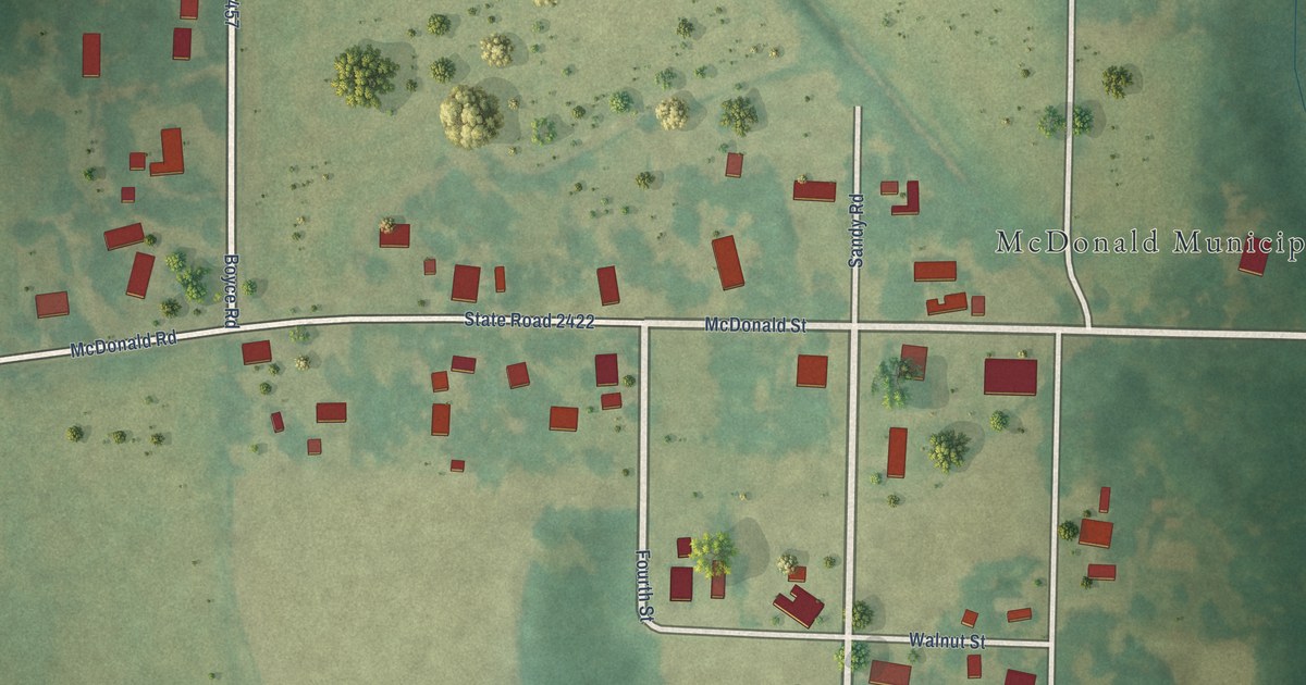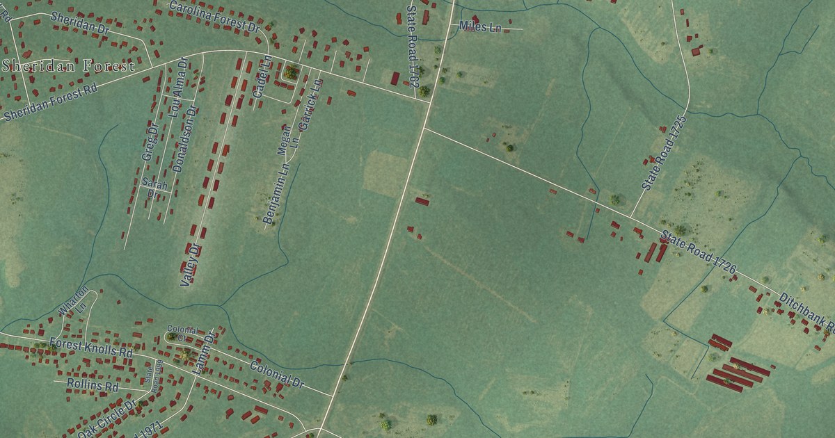
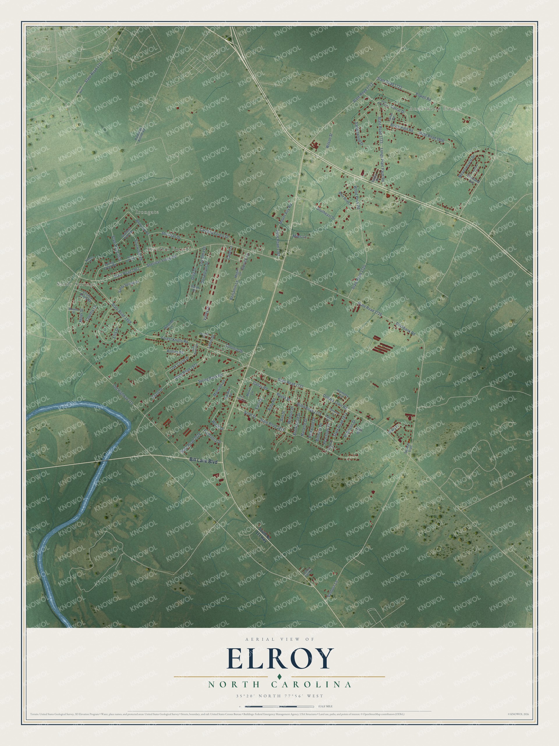
This beautifully detailed map of Elroy, North Carolina was created in 2026 using aerial imagery combined with modern topographical, census, street and landmark data. It's a modern aerial view of Elroy in Wayne County, North Carolina, that combines modern data with a vintage aesthetic. The roads feature printed names, and if you look closely you can find your exact house accurately shown in its correct location.
Explore an aerial view of Elroy, North Carolina
On this map you'll find Anderwood Estates, Irongate, Sandy Springs, Sheridan Forest, Bill Lane Boulevard, Spring Bank Road, Country Lane, Poinsettia Drive, Rouse Street, Ditchbank Road, State Road 1726, Old Highway 111, and more. Each red shape is a building, so zoom in on the preview and look for yours.
Every town has a first chapter, and Elroy is no exception. By October 1891 Elroy had a new post office of its own. That month the Goldsboro Headlight told its subscribers in New Hope township that they could now have their paper sent to the Elroy post office. That's from the Goldsboro Headlight.
Elroy is a community in Wayne County. The Census Bureau counted 3,755 people here in 2020. Elroy sits about 3 miles northwest of Walnut Creek, 4 miles southwest of New Hope and 4 miles southeast of Goldsboro. The map prints the town name in its title panel, with the coordinates below it.
Take a closer look at the Elroy map
Names on this map
These names are printed on this map.
Places: Anderwood Estates, Irongate, Sandy Springs and Sheridan Forest.
Streets and roads: Bill Lane Boulevard, Spring Bank Road, Country Lane, Poinsettia Drive, Rouse Street, Ditchbank Road, State Road 1726, Old Highway 111, Powell Road, State Road 1722, Sheridan Forest Road, State Road 1961.
More street names, A to Z
Ann Street, Arnold Avenue, Benjamin Lane, Biltmore Drive, Blue Bird Lane, Brady Place, Bridle Path Road, Brookwood Drive, Cadel Lane, Carolina Forest Drive, Chris Taylor Lane, Colonial Court, Colonial Drive, Corral Drive, Cotton Field Drive, Country Acres Road, Courtland Avenue, Courtland Place, Dallas Road, Dallas Street, Dollard Town Road, Donaldson Drive, Earl Road, Ellis Drive, Fleetwood Street, Flint Street, Forest Knolls Road, Garden Circle, Garrick Lane, Grant Drive, Greg Drive, Hailey Drive, Harmony Circle, Holmes Lane, Lamm Drive, Lariat Road, Longs Plant Farm Road, Lou Alma Drive, Mansion Lane, Marlette Drive, Meadowcrest Drive, Meadow Street, Megan Lane, Merritt Lane, Miles Lane, Miller Street, Mount Airy Road, Oak Circle Drive, Parkwood Drive, Peachtree Drive, Piedmont Airline Road, Robinson Drive, Rollins Road, Ruby Road, Saddlewood Drive, Sanborn Lane, Sandy Springs Drive, Sarah Drive, Scott Street, Sheridan Drive, Sourwood Road, Southeast Drive, Southern Pine Road, South Nc 111 Highway, Spring Creek Road, State Road 1711, State Road 1713, State Road 1723, State Road 1725, State Road 1727, State Road 1762, State Road 1775, State Road 1806, State Road 1814, State Road 1815, State Road 1890, State Road 1959, State Road 1971, State Road 1999, State Road 2028, State Road 2034, State Road 2039, Thomas Trail, Tilghman Drive, Valley Drive, Wharton Lane, White Oak Road, Wilson Street, Windsor Drive, Wood Peck Road, Worth Drive.
See it on a wall
The Elroy map as a framed print. Swipe for more.


Created by KNOWOL in 2026. The buildings are small red shapes, the roads carry their printed names, and shaded relief shows the shape of the land. The title panel reads "AERIAL VIEW OF ELROY, NORTH CAROLINA" with 35°20' NORTH 77°56' WEST.
Hang it in the hallway, the office or the cabin, or give it to someone who left Elroy and still calls it home. Open the preview and look for a street you know. See sizes and frames for the Elroy map.