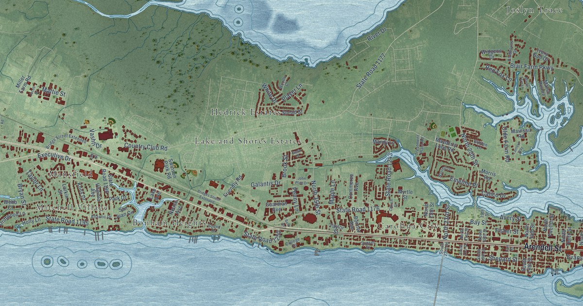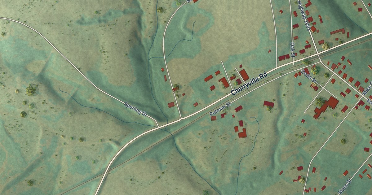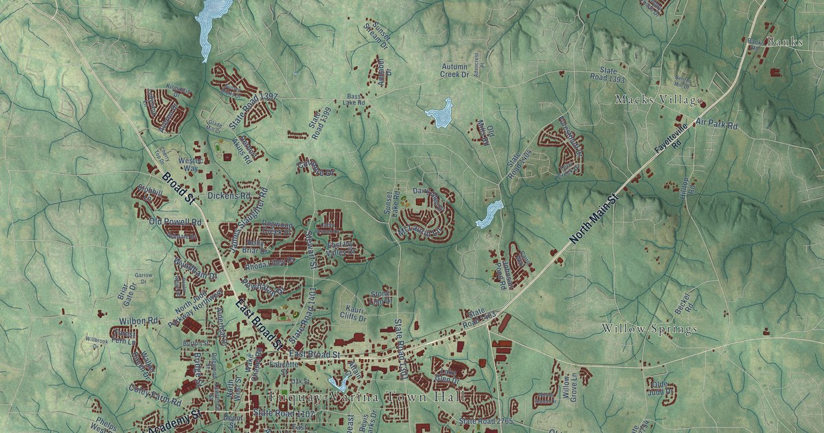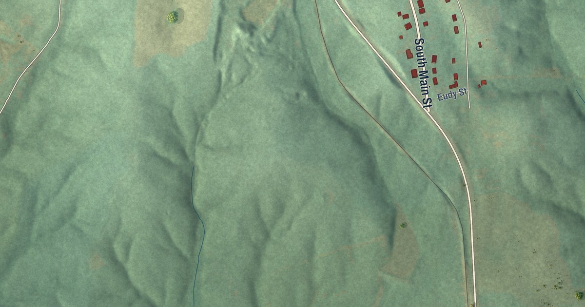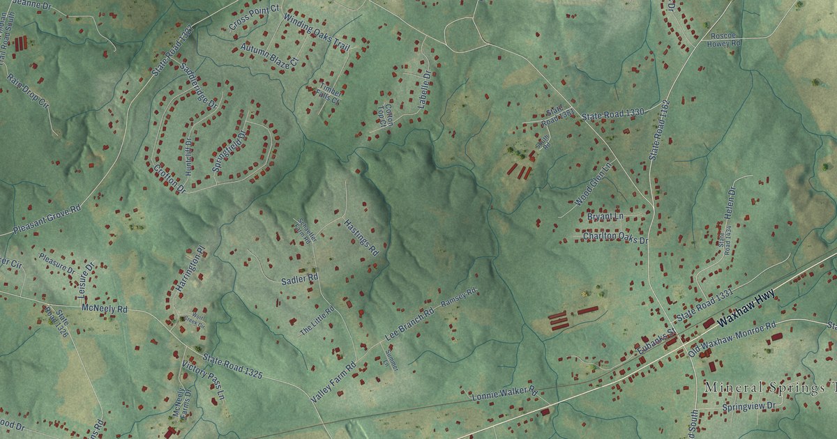
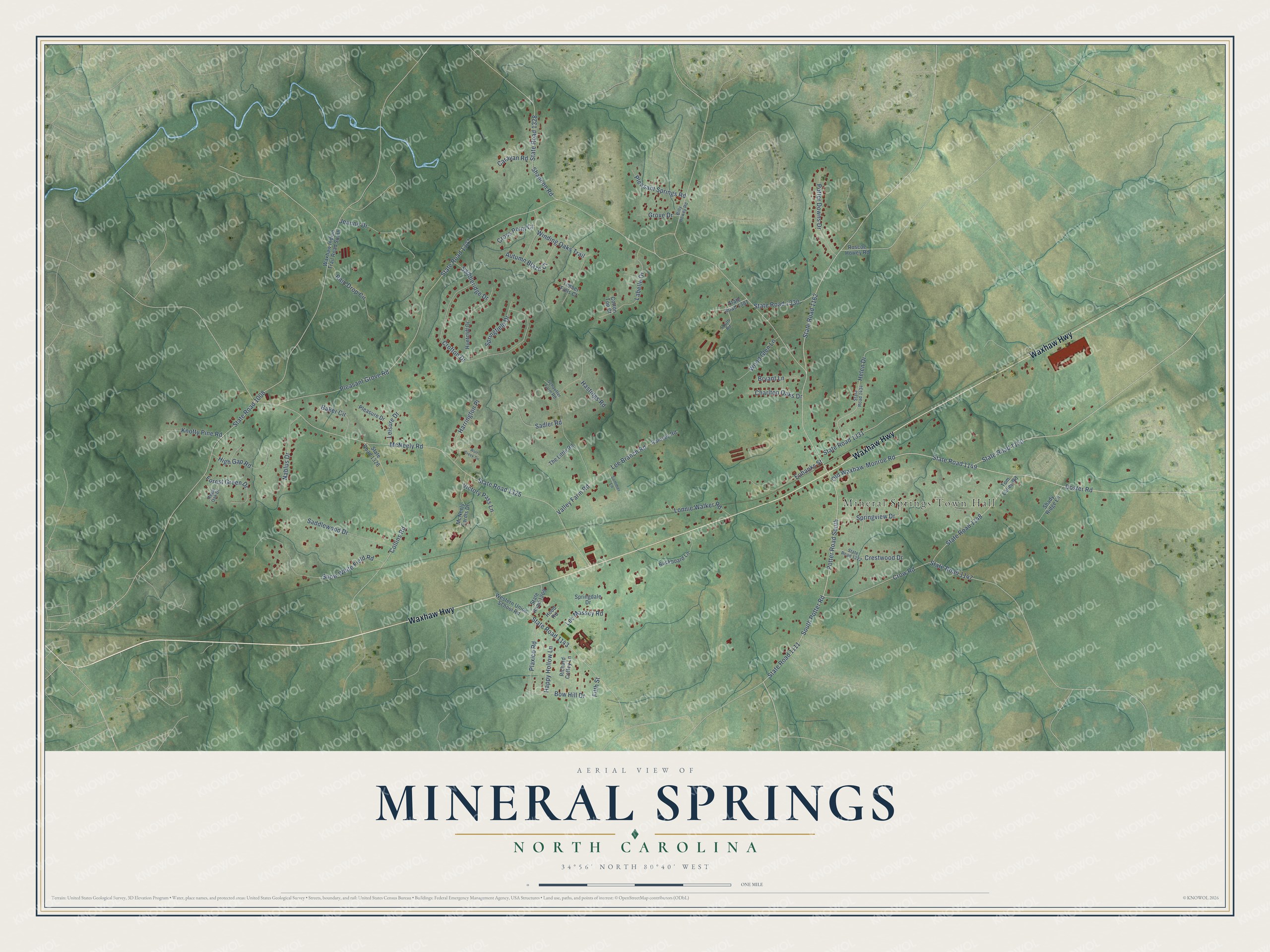
This beautifully detailed map of Mineral Springs, North Carolina was created in 2026 using aerial imagery combined with modern topographical, census, street and landmark data. It's a modern aerial view of Mineral Springs in Union County, North Carolina, that combines modern data with a vintage aesthetic. The roads feature printed names, and if you look closely you can find your exact house accurately shown in its correct location.
Explore an aerial view of Mineral Springs, North Carolina
On this map you'll find Mineral Springs Town Hall, Waxhaw Highway, State Road 1149, Doster Road, Old Waxhaw-Monroe Road, Potter Road South, South Potter Road, State Road 1327, Pleasant Grove Road, McNeely Road, State Road 1325, State Road 1008, and more. Each red shape is a building, so zoom in on the preview and look for yours.
Every town has a first chapter, and Mineral Springs is no exception. The NC Highway Historical Marker Program puts it this way: "The first camp meeting at the site that would come to be known as Pleasant Grove is believed to have taken place in 1829. The following year, area residents decided to establish a Methodist camp ground in the idyllic pastoral setting replete with three natural springs."
Mineral Springs is a town in Union County. The Census Bureau counted 3,159 people here in 2020.
Take a closer look at the Mineral Springs map
Names on this map
These names are printed on this map.
Places: Mineral Springs Town Hall.
Streets and roads: Waxhaw Highway, State Road 1149, Doster Road, Old Waxhaw-Monroe Road, Potter Road South, South Potter Road, State Road 1327, Pleasant Grove Road, McNeely Road, State Road 1325, State Road 1008, State Road 1111.
More street names, A to Z
Autumn Blaze Court, Baker Circle, Billy Howey Road, Bow Hill Drive, Bryant Lane, Buckboard Lane, Caravan Road, Charlton Oaks Drive, Collins Road, Cotton Top Court, Crestwood Drive, Crofton Drive, Cross Point Court, Crow Road, Eubanks Street, Fifth Street, Forest Green Drive, Grove Drive, Happy Hollow Lane, Harrington Place, Hastings Road, Helen Drive, High Gap Road, Hood Road, Huntcliff Drive, Jeanne Drive, Knotty Pine Road, Labelle Drive, Lee Branch Road, Lee Massey Road, Leisure Drive, Lonnie Walker Road, McNeely Farms Drive, Nablus Drive, Plaxico Road, Pleasant Springs Road, Pleasure Drive, Potter Downs Drive, Rain Drop Circle, Ramsey Road, Regal Oak Drive, Richard Coffey Lane, Roscoe Howey Road, Saddleridge Drive, Saddlewood Drive, Sadler Road, Schaeffer Farm Road, Shady Ridge Lane, Shannon Road, Snow White Field Road, South Road, Springdale Drive, Springfield Drive, Springview Drive, State Road 1143, State Road 1147, State Road 1148, State Road 1150, State Road 1162, State Road 1209, State Road 1222, State Road 1326, State Road 1328, State Road 1330, State Road 1331, State Road 1381, State Road 1434, Summer Lane, The Little Road, Timber Falls Court, Tom Laney Road, Valley Farm Road, Victory Pass Lane, Waxhaw Indian Trail Road South, Western Union School Road, Winding Oaks Trail, Wolf Creek Circle, Wood Glen Lane.
Created by KNOWOL in 2026. The buildings are small red shapes, the roads carry their printed names, and shaded relief shows the shape of the land. The title panel reads "AERIAL VIEW OF MINERAL SPRINGS NORTH CAROLINA" with 34°56' NORTH 80°40' WEST.
Hang it in the hallway, the office or the cabin, or give it to someone who left Mineral Springs and still calls it home. Open the preview and look for a street you know. See sizes and frames for the Mineral Springs map.