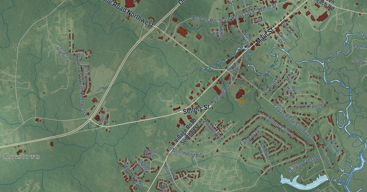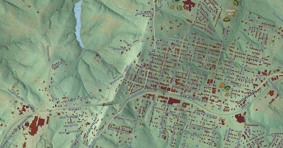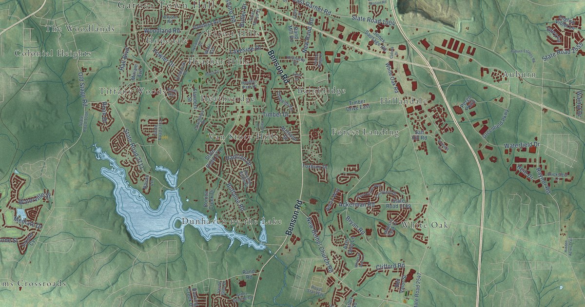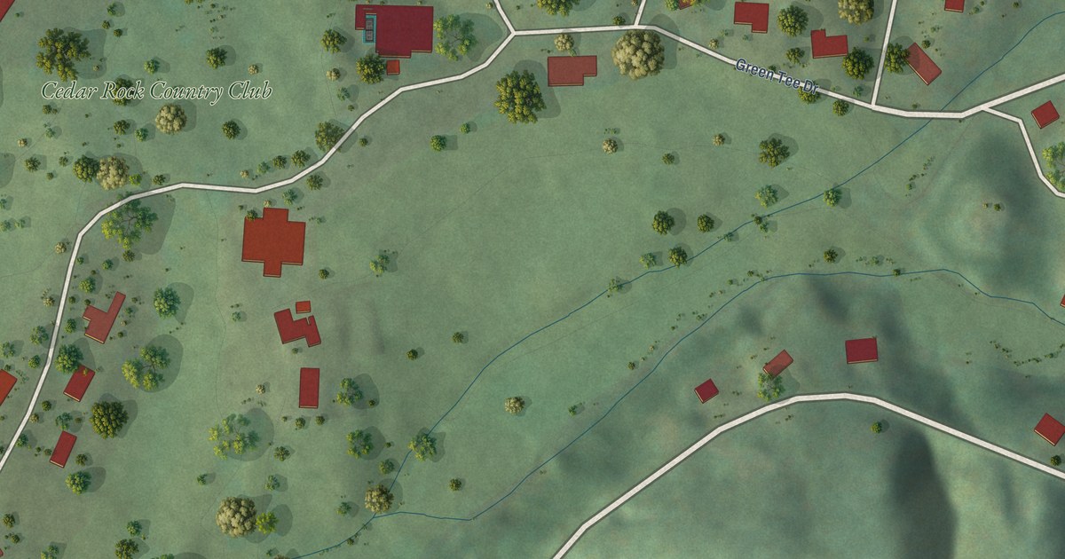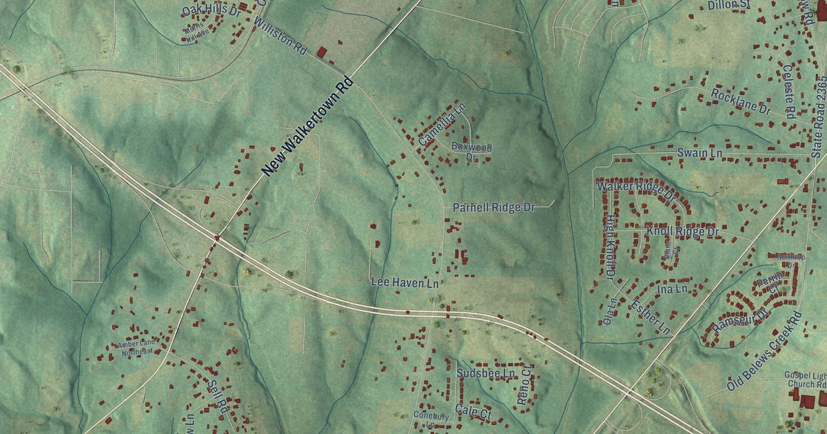
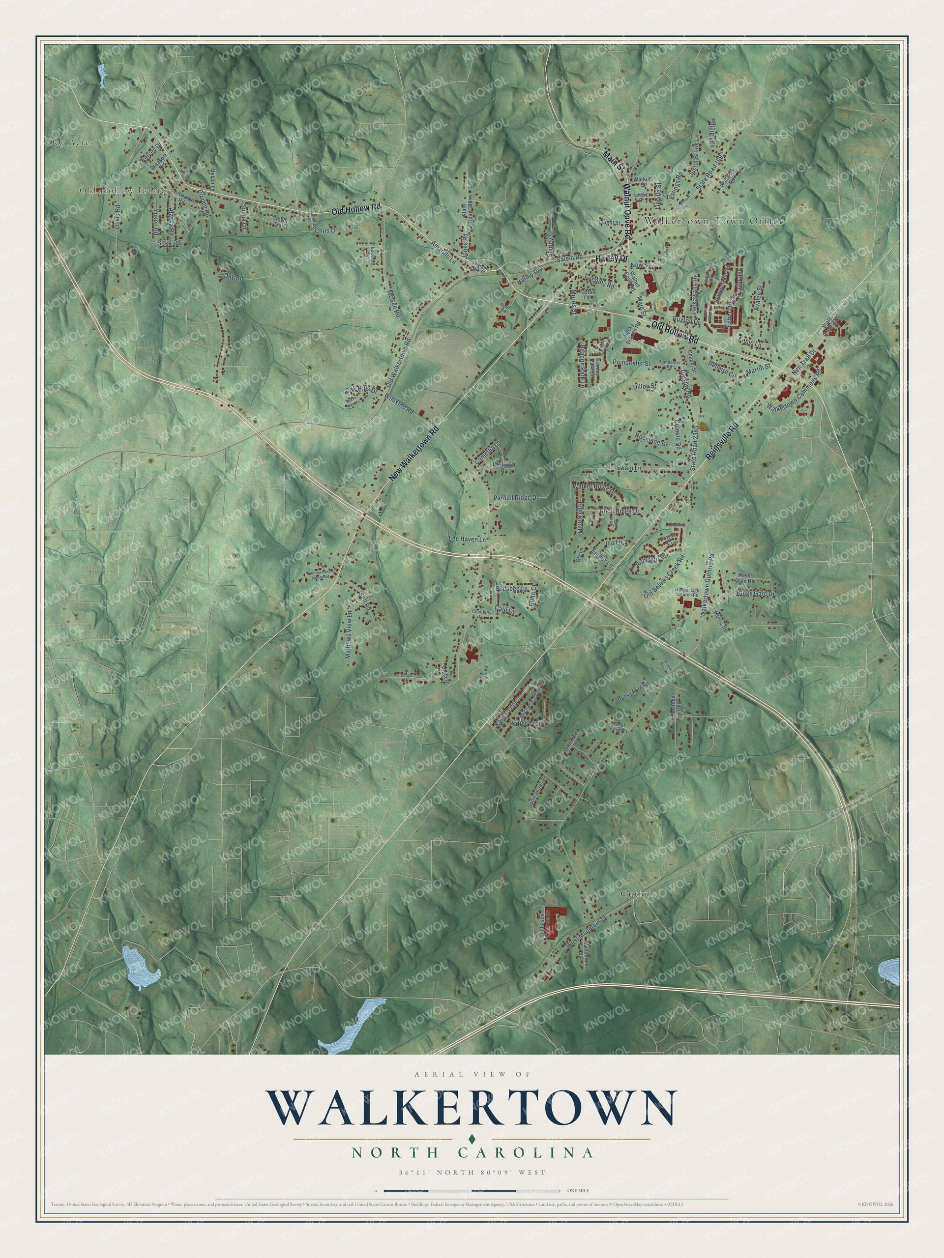
This beautifully detailed map of Walkertown, North Carolina was created in 2026 using aerial imagery combined with modern topographical, census, street and landmark data. It's a modern aerial view of Walkertown in Forsyth County, North Carolina, that combines modern data with a vintage aesthetic. The roads feature printed names, and if you look closely you can find your exact house accurately shown in its correct location.
Explore an aerial view of Walkertown, North Carolina
On this map you'll find Walkertown Town Office, Day Acres, Old Hollow Estates, Guthrie, Harley Drive, Old Hollow Road, New Walkertown Road, Reidsville Road, Walnut Cove Road, Main Street, Salem Road, State Road 2365, and more. Each red shape is a building, so zoom in on the preview and look for yours.
Walkertown has a story worth telling. The North Carolina Historic Preservation Office puts it this way: "Although the early history of Walkertown is unclear, a man named Robert Walker owned a tract of land northeast of Salem in the vicinity of present-day Walkertown as early as 1771."
Walkertown is a town in Forsyth County. The Census Bureau counted 5,692 people here in 2020.
Take a closer look at the Walkertown map
Names on this map
These names are printed on this map.
Places: Walkertown Town Office, Day Acres, Old Hollow Estates and Guthrie.
Streets and roads: Harley Drive, Old Hollow Road, New Walkertown Road, Reidsville Road, Walnut Cove Road, Main Street, Salem Road, State Road 2365, State Road 1992, Walkertown Guthrie Road, Williston Road, Dippen Road.
More street names, A to Z
Alaska Road, Amarillo Lane, Amber Lane Northeast, Annie Lane, Avalee Street, Ayers Road, Beacon Park Lane, Bellaire Circle, Boxwood Drive, Cale Court, Camellia Lane, Carlton Court, Celeste Road, Chapel Street, Chris Drive, Clover Trail, Conebury Lane, Conestoga Trail, Creason Circle, Darrow Road, Davis Road, Day Road, Diane Court, Dillon Street, Esher Drive Northeast, Esther Lane, Friendly Road, Gospel Light Church Road, Hanley Park Drive, Hastings Road, High Knoll Drive, Holbein Gate Road, Idol Farm Lane, Ina Lane, Inigo Court, Jackie Lane, Johnson Controls Drive, Jones Road, Justin Brook Lane, Katies Trail, Kellys Trail, Kelsey Drive, Kings Gate Drive, Klondike Road, Knoll Ridge Drive, Lacasta Lane, Lackawana Drive, Largo Drive, Leake Street, Lee Haven Lane, Leight Street, Linville Street, Martin Street, Mathews View Lane, McGee Road, Melvin Lane, Michaels Trail, Morris Hill Avenue, Morris Road, Morris Street, Neil Trail Drive, New Street, Northrop Drive, Oak Hills Drive, Ola Lane, Old Belews Creek Road, Old Walkertown Road, Paradise Lane, Parnell Ridge Drive, Payton Lane, Pegram Park Place, Perrin Court, Phillips Road, Plata Drive, Poindexter Road, Poindexter Street, Ramseur Drive, Reno Court, Rocklane Drive, Rocky Branch Road, Rocky Ford Road, Royal Gate Road, Ruxton Drive, Sell Road, Shirley Street, Sitka Road, Sportsmans Drive, State Road 1984, State Road 2012, Sudsbee Lane, Sullivantown Road, Sunny Lane, Swain Lane, Walker Ridge Drive, Walkertown Commons Road, Wallasey Road, Watkins Street, West Mountain Street, Whirl-Win Drive, Willamont Street, Windle Gray Lane, Yeager Street, York Place Drive, Yukon Road.
Created by KNOWOL in 2026. The buildings are small red shapes, the roads carry their printed names, and shaded relief shows the shape of the land. The title panel reads "AERIAL VIEW OF WALKERTOWN NORTH CAROLINA" with 36°11' NORTH 80°09' WEST.
It looks right in a kitchen, an office or a den, and it's a gift for anyone who grew up in Walkertown or moved away. Open the preview and find your street. See sizes and frames for the Walkertown map.