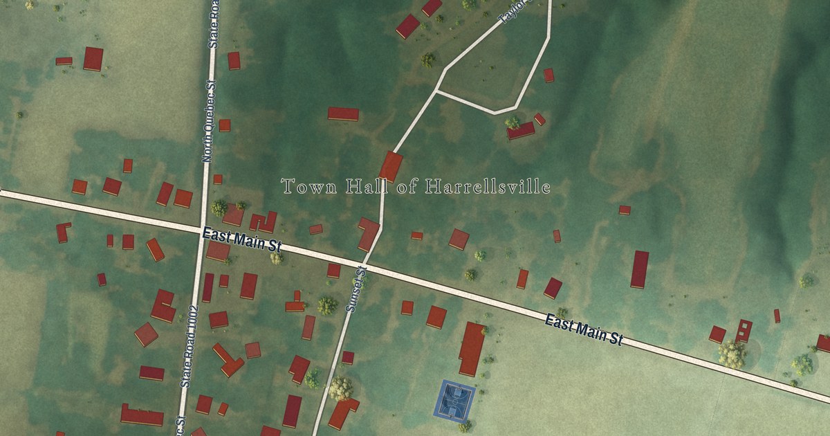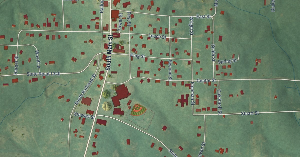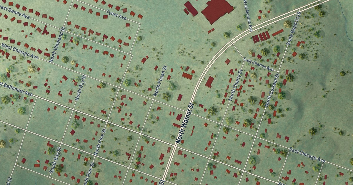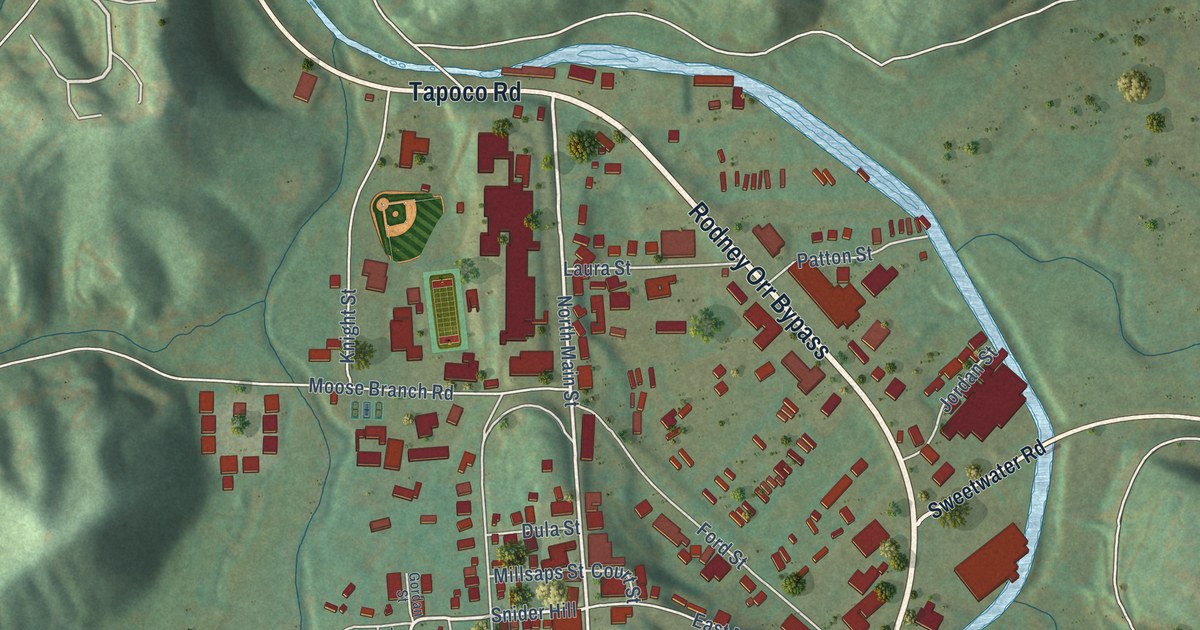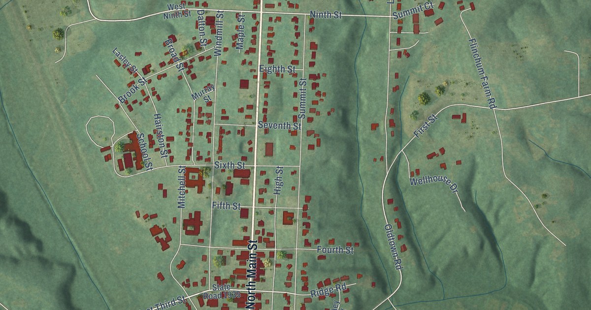
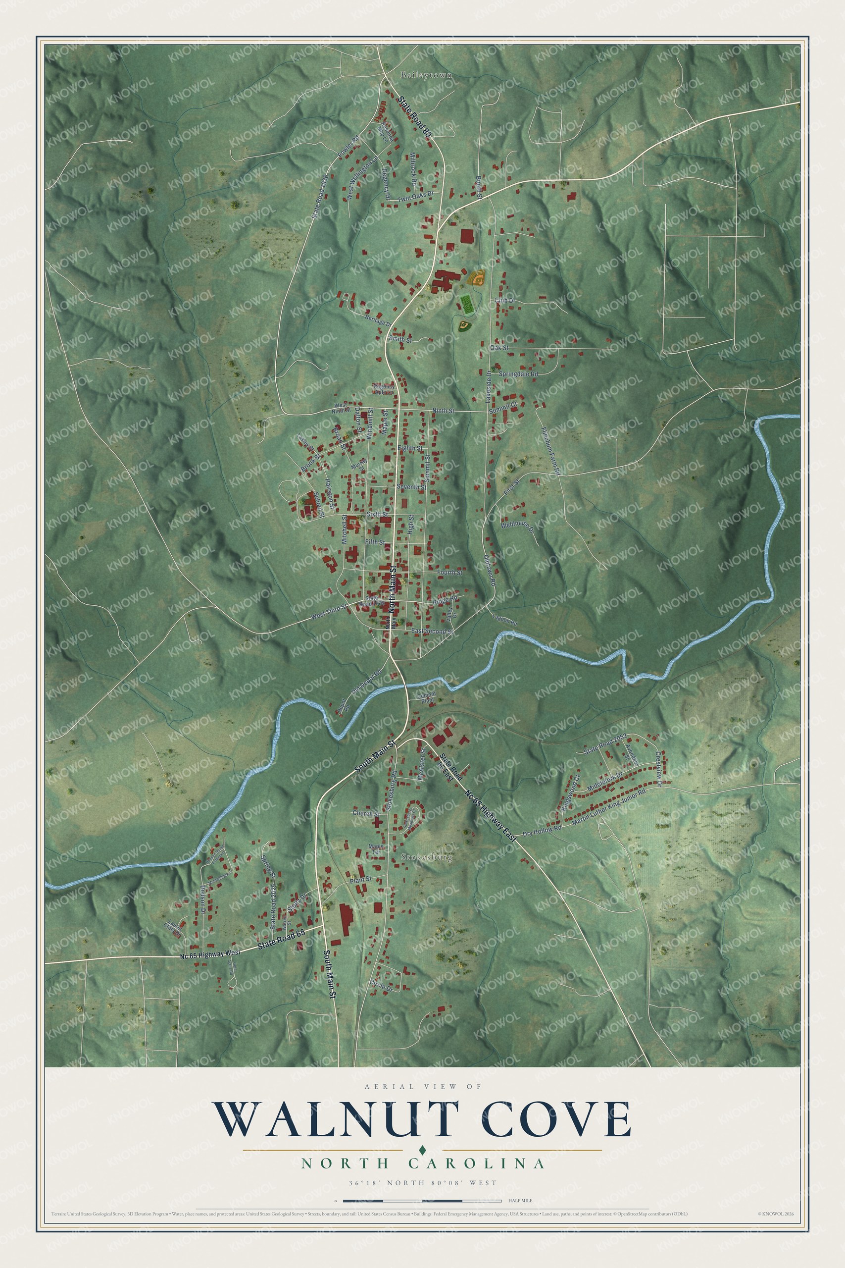
This beautifully detailed map of Walnut Cove, North Carolina was created in 2026 using aerial imagery combined with modern topographical, census, street and landmark data. It's a modern aerial view of Walnut Cove in Stokes County, North Carolina, that combines modern data with a vintage aesthetic. The roads feature printed names, and if you look closely you can find your exact house accurately shown in its correct location.
Explore an aerial view of Walnut Cove, North Carolina
On this map you'll find Stokesburg, Baileytown, South Main Street, North Main Street, State Road 65, Nc 65 Highway East, State Road 89, West Third Street, Fowler Road, Ninth Street, Stokesburg Road, Old Depot Road, and more. Each red shape is a building, so zoom in on the preview and look for yours.
Walnut Cove has a story worth telling. The North Carolina Historic Preservation Office puts it this way: "The church building dates to the late 1880s, a period of railroad construction that rapidly transformed the Walnut Cove and the surrounding area. Walnut Cove was the first community in Stokes County to welcome the railroad."
Walnut Cove is a town in Stokes County. The Census Bureau counted 1,586 people here in 2020.
Take a closer look at the Walnut Cove map
Names on this map
These names are printed on this map.
Places: Stokesburg and Baileytown.
Streets and roads: South Main Street, North Main Street, State Road 65, Nc 65 Highway East, State Road 89, West Third Street, Fowler Road, Ninth Street, Stokesburg Road, Old Depot Road, Oldtown Road, Dry Hollow Road.
More street names, A to Z
Avondale Street, Booth Street, Broad Street, Brook Street, Cement Plant, Church Street, Circle Drive, Club Drive, Crestview Drive, Dalton Street, Depot Road, Dodson Drive, Dodson Street Extended, East Second Street, Eighth Street, Fifth Street, First Street, Flinchum Farm Road, Fourth Street, Gote Acres Road, Hairston Street, Heritage Drive, High Street, Kingswood Court, Lagoon Road, Lakeside Drive, Lasley Street, Laurel Cliffs Drive, Maple Street, Maple Terrace, Martin Luther King Junior Road, McAlster Street, Middlefork Drive, Milbrook Road, Mitchell Street, Montgomery Court, Murray Street, Nc 65 Highway West, North Main, Oak Street, Plant Street, Regency Apts Lane, Regency Drive, Ridge Road, Rosanna Mhp Lane, School Street, Seventh Street, Sixth Street, Smith Street, Springdale Road, Spring Street, State Road 65 East, State Road 1935, State Road 1936, State Road 2025, State Road 2052, Stokesburg Meadows Court, Stultz Drive, Summit Court, Summit Street, Twin Oaks Drive, Valley Drive, Warren Street, Wellhouse Drive, West Ninth Street, West Wellington Lane, Windmill Street.
Created by KNOWOL in 2026. The buildings are small red shapes, the roads carry their printed names, and shaded relief shows the shape of the land. The title panel reads "AERIAL VIEW OF WALNUT COVE NORTH CAROLINA" with 36°18' NORTH 80°08' WEST.
It looks right in a kitchen, an office or a den, and it's a gift for anyone who grew up in Walnut Cove or moved away. Open the preview and find your street. See sizes and frames for the Walnut Cove map.