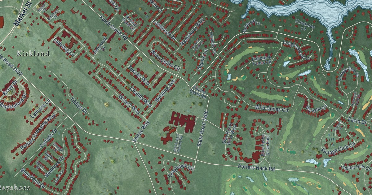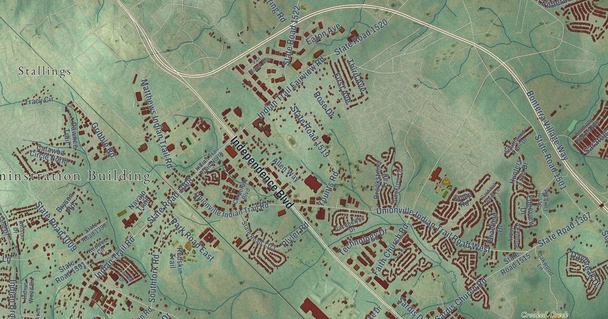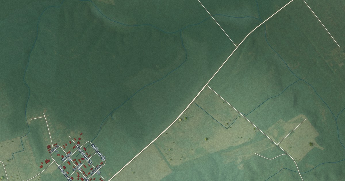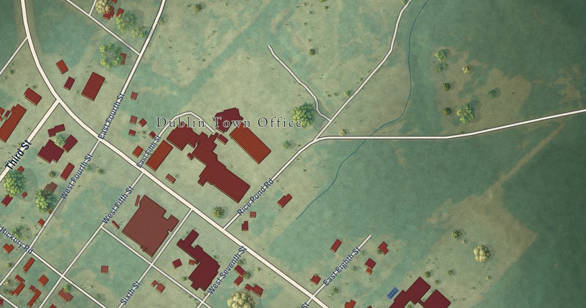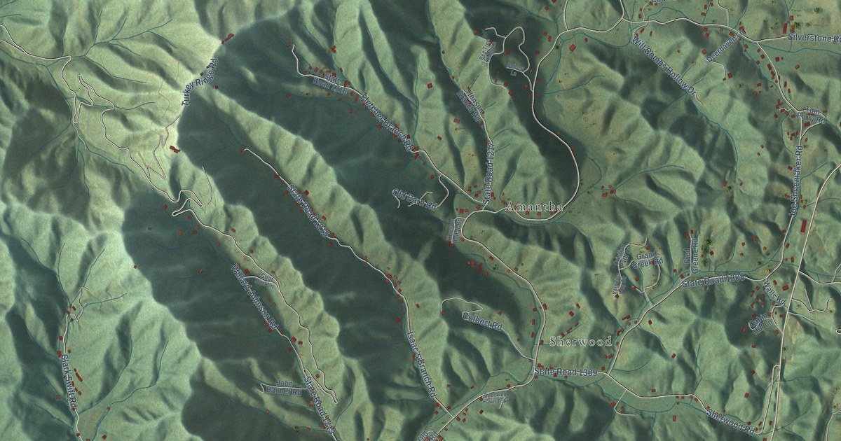
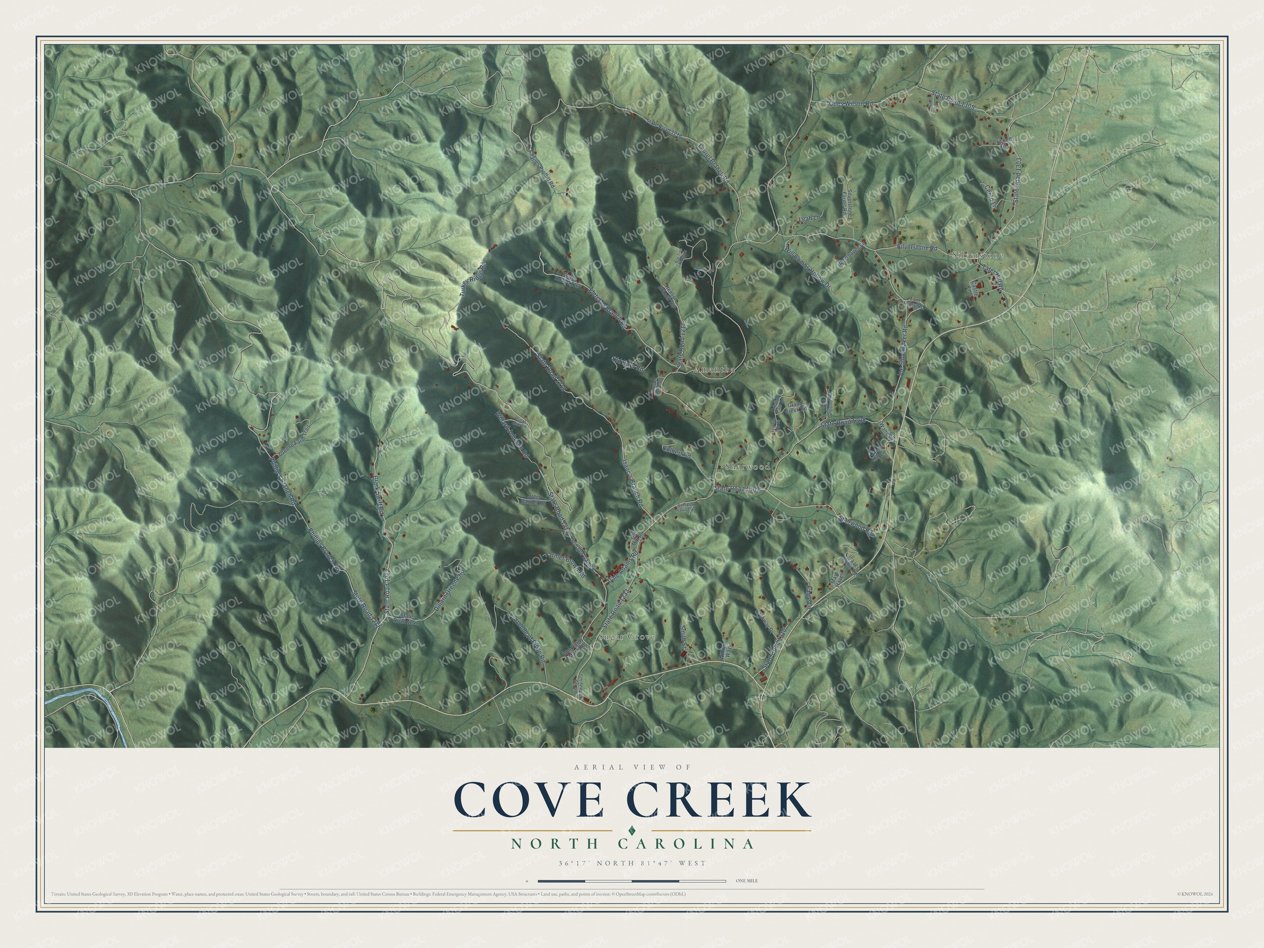
This beautifully detailed map of Cove Creek, North Carolina was created in 2026 using aerial imagery combined with modern topographical, census, street and landmark data. It's a modern aerial view of Cove Creek in Watauga County, North Carolina, that combines modern data with a vintage aesthetic. The roads feature printed names, and if you look closely you can find your exact house accurately shown in its correct location.
Explore an aerial view of Cove Creek, North Carolina
On this map you'll find Silverstone, Sugar Grove, Sherwood, Amantha, State Road 1213, Clark Swift Road, State Road 1212, Sherwood Road, State Road 1233, Phillip's Branch Road, State Road 1211, Laurel Branch Road, and more. Each red shape is a building, so zoom in on the preview and look for yours.
Every town has a first chapter, and Cove Creek is no exception. In 1923, under principal Samuel Ferd Horton, Cove Creek High School became the first accredited high school in Watauga County. For a time it was also the only accredited high school in North Carolina west of the Blue Ridge Mountains. Its 1941 stone school was built by local craftsmen with stone quarried on nearby farms, and supervisor Charlie Hartley, who wore a wooden peg leg, called it his pride. That's from the North Carolina Historic Preservation Office.
Cove Creek is a community in Watauga County. The Census Bureau counted 1,068 people here in 2020.
Take a closer look at the Cove Creek map
Names on this map
These names are printed on this map.
Places: Silverstone, Sugar Grove, Sherwood and Amantha.
Streets and roads: State Road 1213, Clark Swift Road, State Road 1212, Sherwood Road, State Road 1233, Phillip's Branch Road, State Road 1211, Laurel Branch Road, Silverstone Road, State Road 1303, Joe Shoemaker Road, State Road 1308.
More street names, A to Z
Archway Drive, Bee Tree Ridge Lane, Bobcat Lane, Cabin Hill Lane, Castle Lane, Cento Lane, Charles Proffitt Road, Colbert Road, Crickett Drive, Cristian Path Drive, Dale Adams Road, Deerhaven Lane, Dillard Greene Road, Eagle Lane, Farmer Brown Road, Fletcher Branch Road, Fred Greene Road, Frozenhead Ridge Road, Georges Gap Road, Goat Run Lane, Grand Creek Road, Greene Farm Trail, Henson Branch Road, Henson Hollar Road, Isaac's Branch Road, Isaacs Home Road, John Banner Road, Leah Lane, Main Haven, Odes Wilson Road, Old Barn Road, Old Mill Road, Old US Highway 421, Phillips Branch Road, Silverstone Farms Road, Smith Street, Speckled Fawn Trail, State Road 1215, State Road 1216, State Road 1217, State Road 1218, State Road 1241, State Road 1305, State Road 1309, State Road 1310, Sunnie Lane, Tater Hill Road, Tom Perry Road, Turkey Ridge Road, Veronica Way Circle, Walls Road, Willard Johnson Road, Will Combs Hollow Drive, Willies Way, Wm Hardy Mast Road.
See it on a wall
The Cove Creek map as a framed print. Swipe for more.


Created by KNOWOL in 2026. The buildings are small red shapes, the roads carry their printed names, and shaded relief shows the shape of the land. The title panel reads "AERIAL VIEW OF COVE CREEK, NORTH CAROLINA" with 36°17' NORTH 81°47' WEST.
Hang it in the hallway, the office or the cabin, or give it to someone who left Cove Creek and still calls it home. Open the preview and look for a street you know. See sizes and frames for the Cove Creek map.