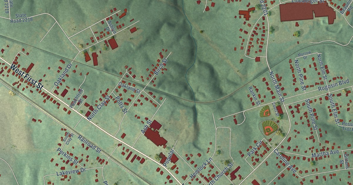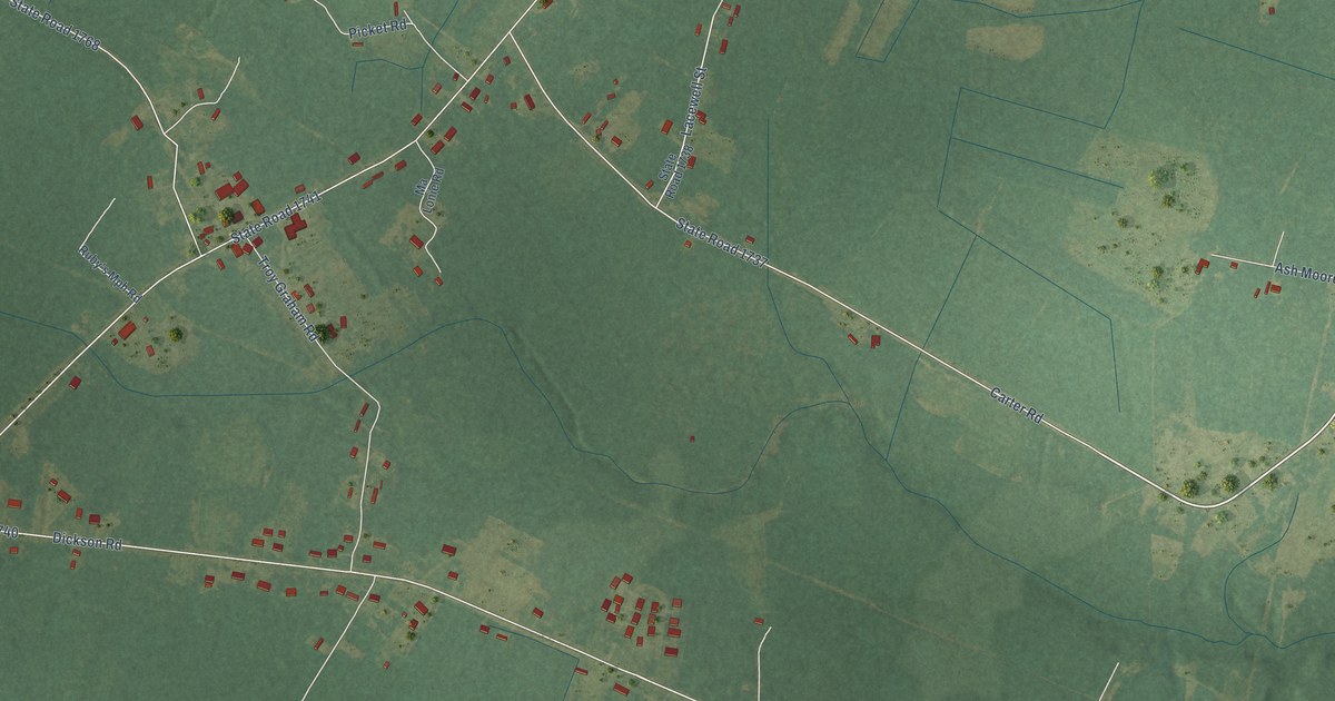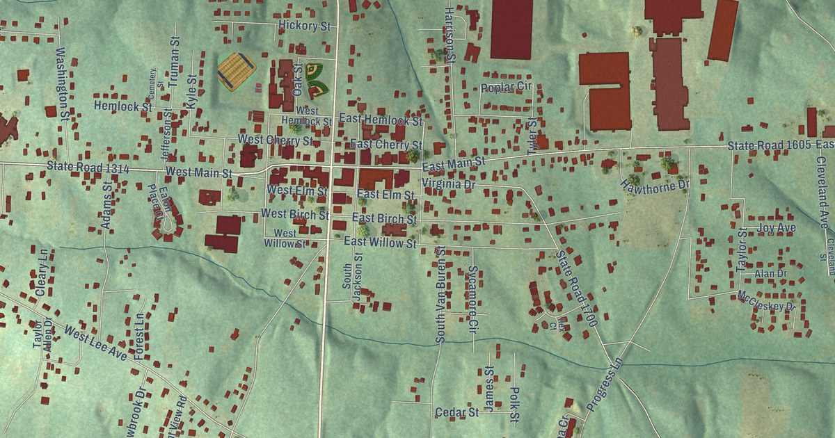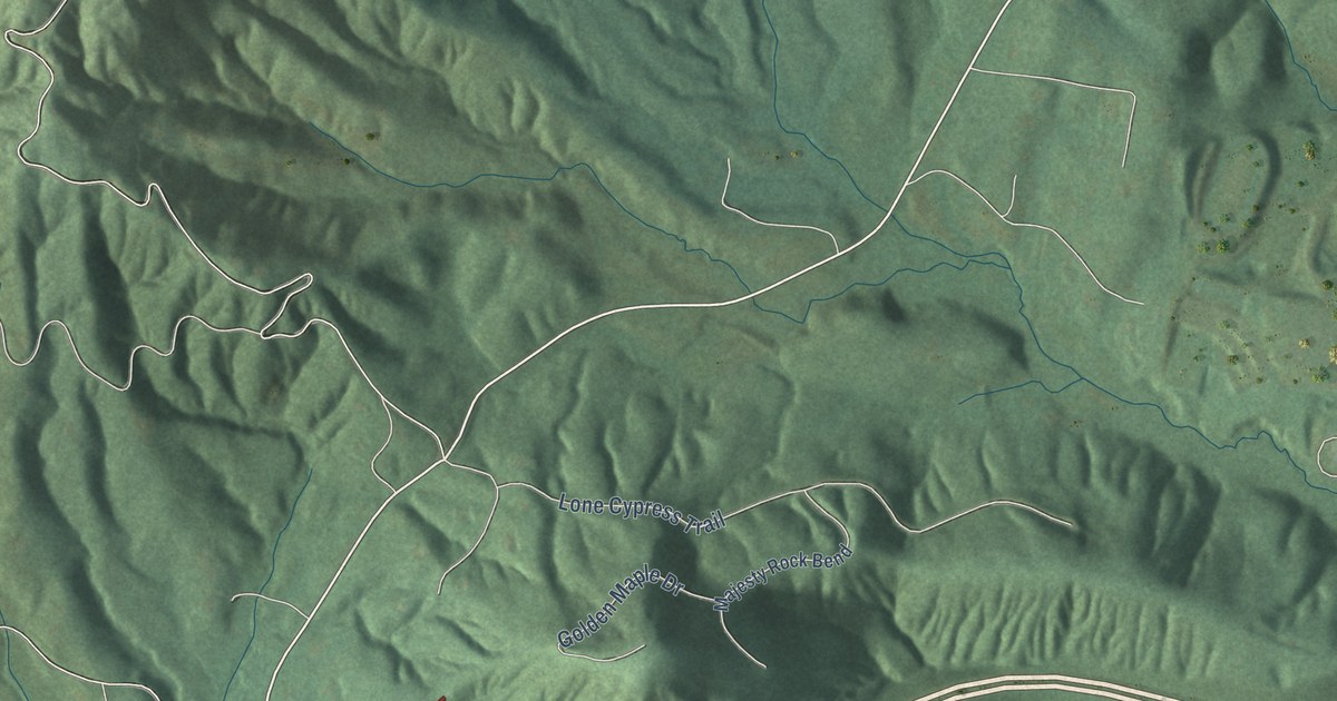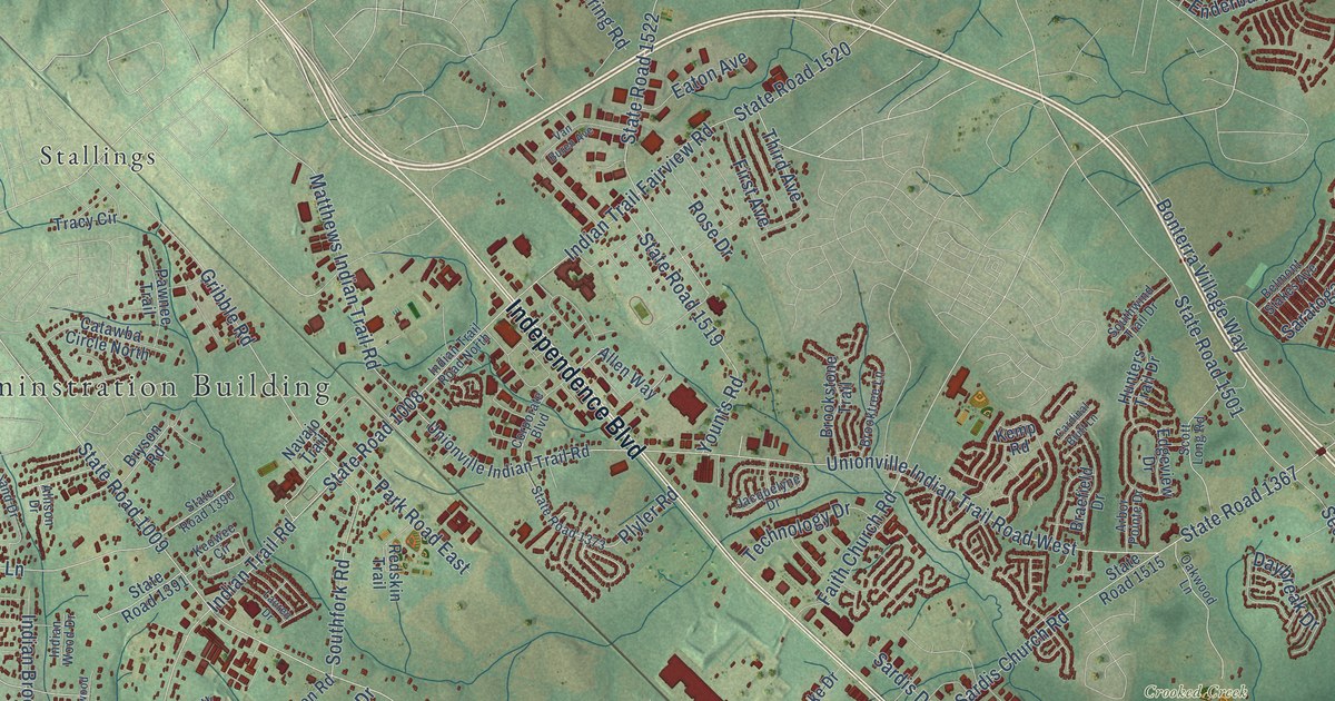
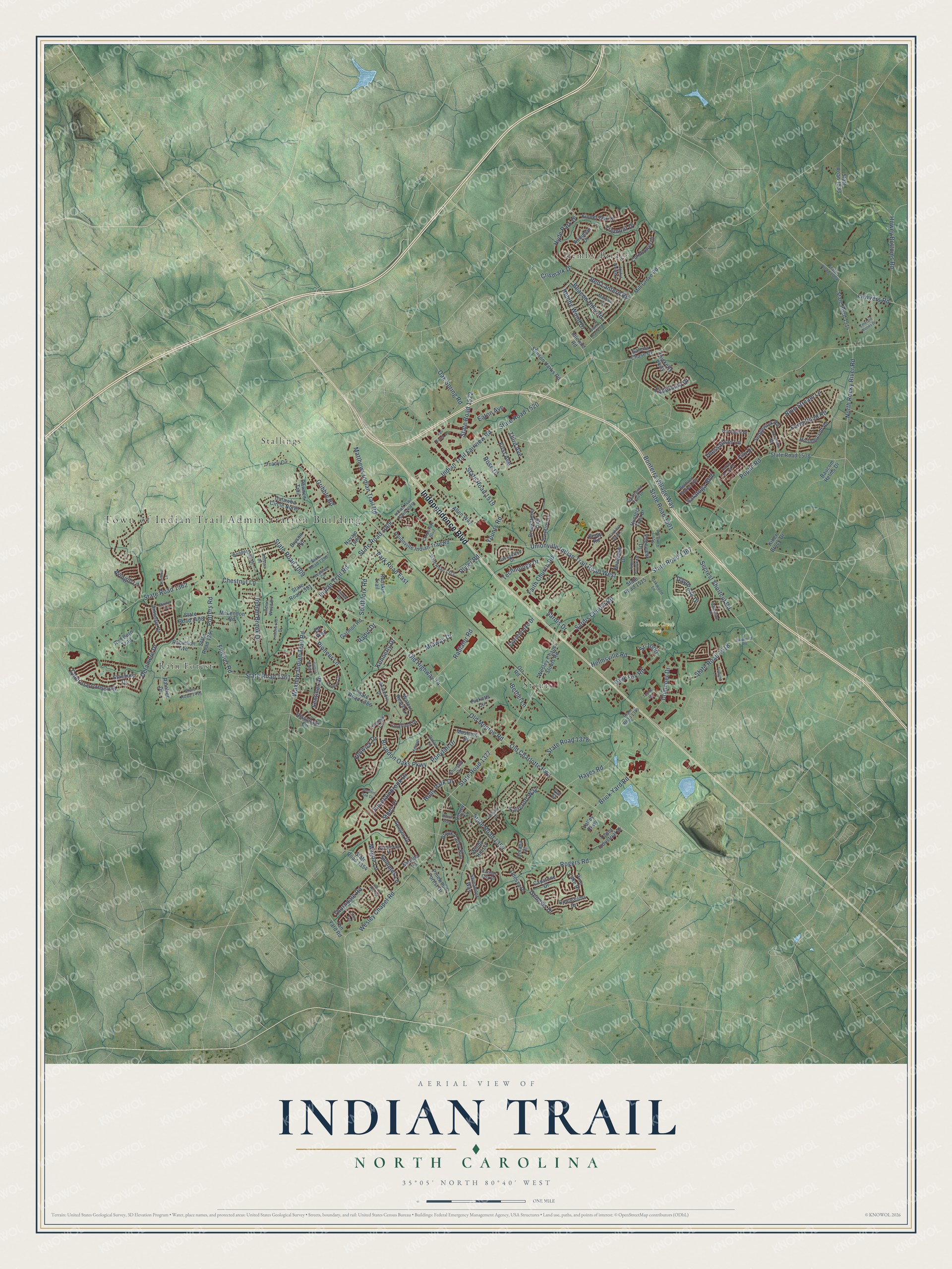
This beautifully detailed map of Indian Trail, North Carolina was created in 2026 using aerial imagery combined with modern topographical, census, street and landmark data. It's a modern aerial view of Indian Trail in Union County, North Carolina, that combines modern data with a vintage aesthetic. The roads feature printed names, and if you look closely you can find your exact house accurately shown in its correct location.
Explore an aerial view of Indian Trail, North Carolina
On this map you'll find Town of Indian Trail Adminstration Building, Crooked Creek Park, Hemby Bridge, Rain Forest, Stallings, Stouts, Independence Boulevard, State Road 1367, Old Highway 74, State Road 1009, State Road 1377, Indian Trail Fairview Road, and more. Each red shape is a building, so zoom in on the preview and look for yours.
Here is a piece of Indian Trail history, in the words of the record. The NC Highway Historical Marker Program puts it this way: "The course of the Trading Path entered North Carolina near present-day Norlina, then passed through Bullock, northern Durham County, Hillsborough, Mebane, Alamance, Julian, central Randolph County, Denton, western Davidson County, Salisbury, and Concord. In Mecklenburg County the path forked, with a spur to Indian Trail and Waxhaw, and another to Charlotte and Pineville."
Indian Trail is a town in Union County. The Census Bureau counted 39,997 people here in 2020.
Take a closer look at the Indian Trail map
Names on this map
These names are printed on this map.
Places: Town of Indian Trail Adminstration Building, Crooked Creek Park, Hemby Bridge, Rain Forest, Stallings and Stouts.
Streets and roads: Independence Boulevard, State Road 1367, Old Highway 74, State Road 1009, State Road 1377, Indian Trail Fairview Road, State Road 1520, State Road 1008, Old Monroe Road, Unionville Indian Trail Road West, Wesley Chapel Road, Secrest Shortcut Road.
More street names, A to Z
Ainsdale Drive, Allen Way, Allison Drive, Alyssum Lane, Apogee Drive, Arbor Pointe Drive, Aringill Lane, Audubon Drive, Baucom Helms Drive, Beacon Hills Road, Belmont Stakes Avenue, Bethel Lane, Blackvine Drive, Blanchard Circle, Blue Stream Lane, Bonterra Village Way, Braefield Drive, Brandon Oaks Parkway, Briarmore Drive, Brick Yard Road, Brookstone Trail, Brooktree Lane, Brook Valley Run, Bryson Road, Camrose Crossing, Capstone Drive, Cardinal Bluff Lane, Catawba Circle North, Chamber Drive, Chestnut Lane, Clover Hill Road, Colton Ridge Drive, Cornflower Drive, Corporate Boulevard, Counselors Drive, Courtfield Drive, Crismark Drive, Dataw Lane, Daybreak Drive, Delamere Drive, Devon Drive, Eaton Avenue, Edgeview Drive, Elk Way, Emerald Woods Drive, Enderbury Drive, Faircroft Way, Faith Church Road, Farm Pond Road, Fawnbrooke Drive, Fenwick Drive, Filly Drive, Fincher Road, First Avenue, Fountainbrook Drive, Galena Chase Drive, Garden Oak Drive, Garmon Road, Genesis Drive, Gray Fox Road, Gribble Road, Hayes Road, Haywood Road, Helmsville Road, Hemby Wood Drive, Hilton Way, Holly Park Drive, Houndscroft Road, Howey Bottoms Road, Hunters Trail Drive, Hyde Park Drive, Idlewild Road, Indian Brook Drive, Indian Trail Road, Indian Trail Road North, Indian Wood Drive, Jacquelyne Drive, Joyful Noise Lane, Kansas City Drive, Kemp Road, Kennerly Drive, Keowee Circle, Kiker Brock Drive, Kinder Oak Drive, Ladys Secret Drive, Lauren Drive, Lawyers Road, Lindenwood Drive, Linstead Drive, Magna Lane, Marcus Lane, Matilda Lane, Matthews Indian Trail Road, McLendon Road, Midway Drive, Mill Grove Road, Minden Drive, Mustang Drive, Navajo Trail, North Rocky River Road, Oak Spring Road, Oakwood Lane, Odessa Place, Old Charlotte Highway, Omaha Drive, Orby Avenue, Orr Road, Park Road East, Pawnee Trail, Picketts Circle, Pine Lake Drive, Pinewood Forest Drive, Pioneer Lane, Plyler Road, Ponytail Drive, Poplin Road, Potomac Road, Potters Road, Radiator Road, Radio Drive, Raintree Drive, Red Barn Trail, Red Lantern Road, Redskin Trail, Robinson Avenue, Rogers Road, Rose Drive, Sandbox Circle, Saratoga Boulevard, Sardis Church Road, Sardis Drive, Scott Long Road, Sedgewick Road, Semmes Lane, Sentinel Drive, Shumard Circle, Sidney Court, Sipes Place, Southfork Road, Southwind Trail Drive, Sr-1000, Stanbury Drive, State Road 1004, State Road 1353, State Road 1354, State Road 1357, State Road 1361, State Road 1362, State Road 1373, State Road 1378, State Road 1379, State Road 1386, State Road 1390, State Road 1391, State Road 1408, State Road 1451, State Road 1501, State Road 1508, State Road 1514, State Road 1515, State Road 1518, State Road 1519, State Road 1522, State Road 1533, State Road 2320, Stinson Hartis Road, Stonehill Lane, Streamlet Way, Symphony Lane, Tan Yard Road, Technology Drive, Thessallian Lane, Thicketty Parkway, Third Avenue, Thorndale Road, Top Flight Drive, Tophill Road, Tower Industrial Drive, Tracy Circle, Tremont Drive, Twilight Lane, Unionville Indian Trail Road, Valley Parkway, Van Buren Avenue, Von Court, Waters Reach Lane, Waxhaw Indian Trail Road, Wesley Chapel Stouts Road, Windy Hill Lane, Wonderland Drive, Younts Road.
Created by KNOWOL in 2026. The buildings are small red shapes, the roads carry their printed names, and shaded relief shows the shape of the land. The title panel reads "AERIAL VIEW OF INDIAN TRAIL NORTH CAROLINA" with 35°05' NORTH 80°40' WEST.
It suits a den, a classroom or a front hall, and it makes a gift for anyone with Indian Trail roots. Open the preview and find the block you know. See sizes and frames for the Indian Trail map.