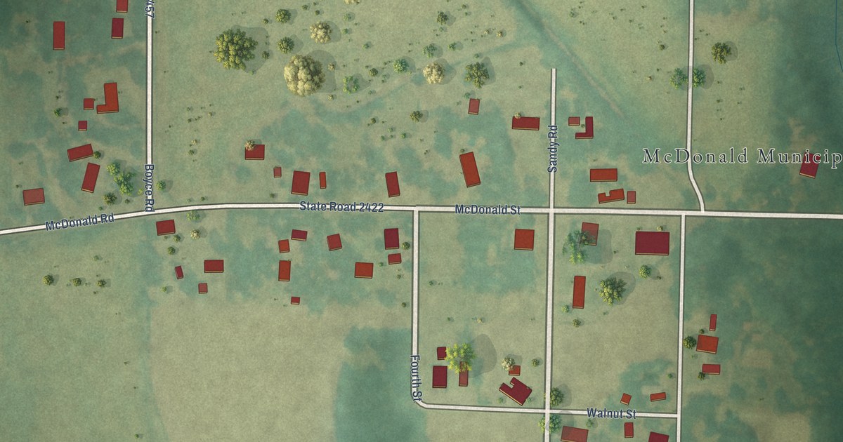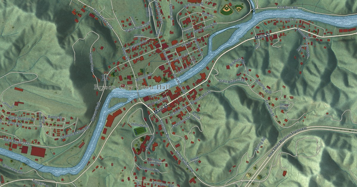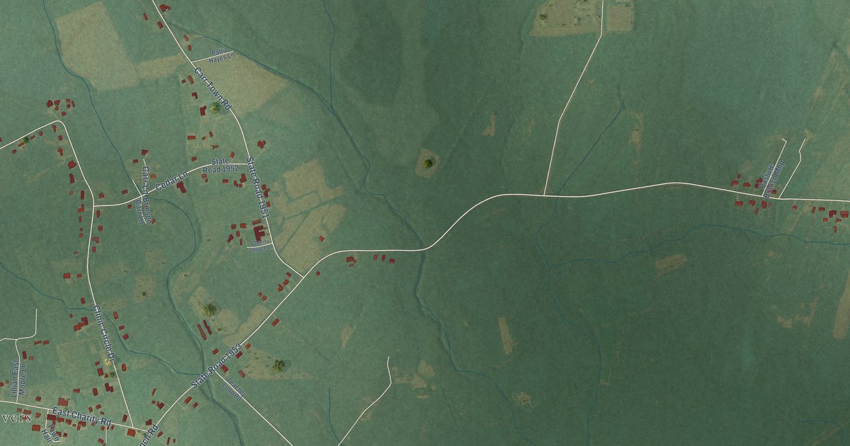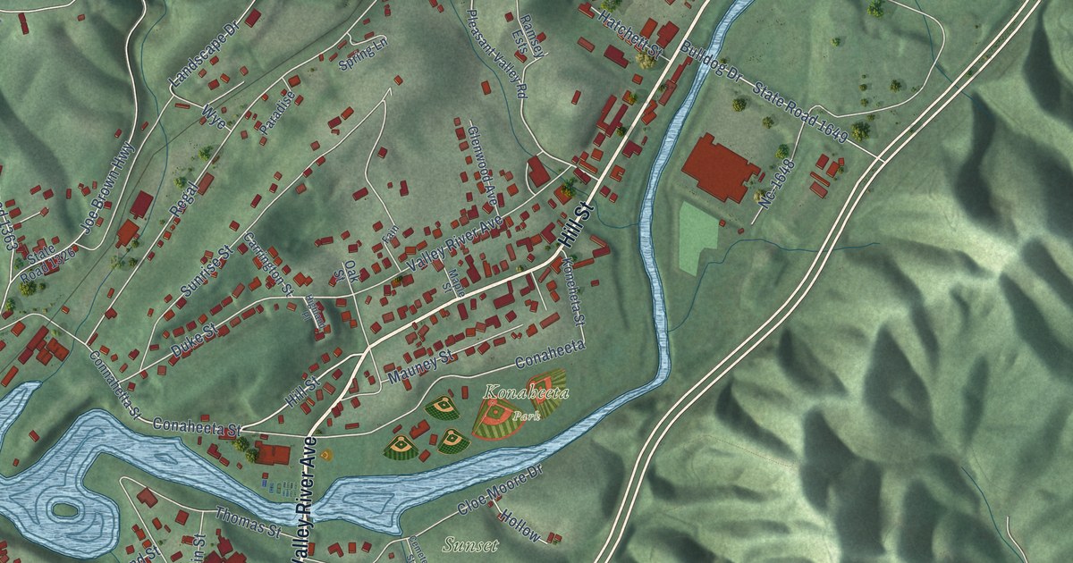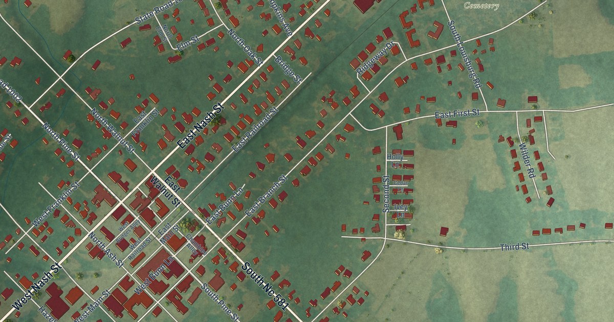
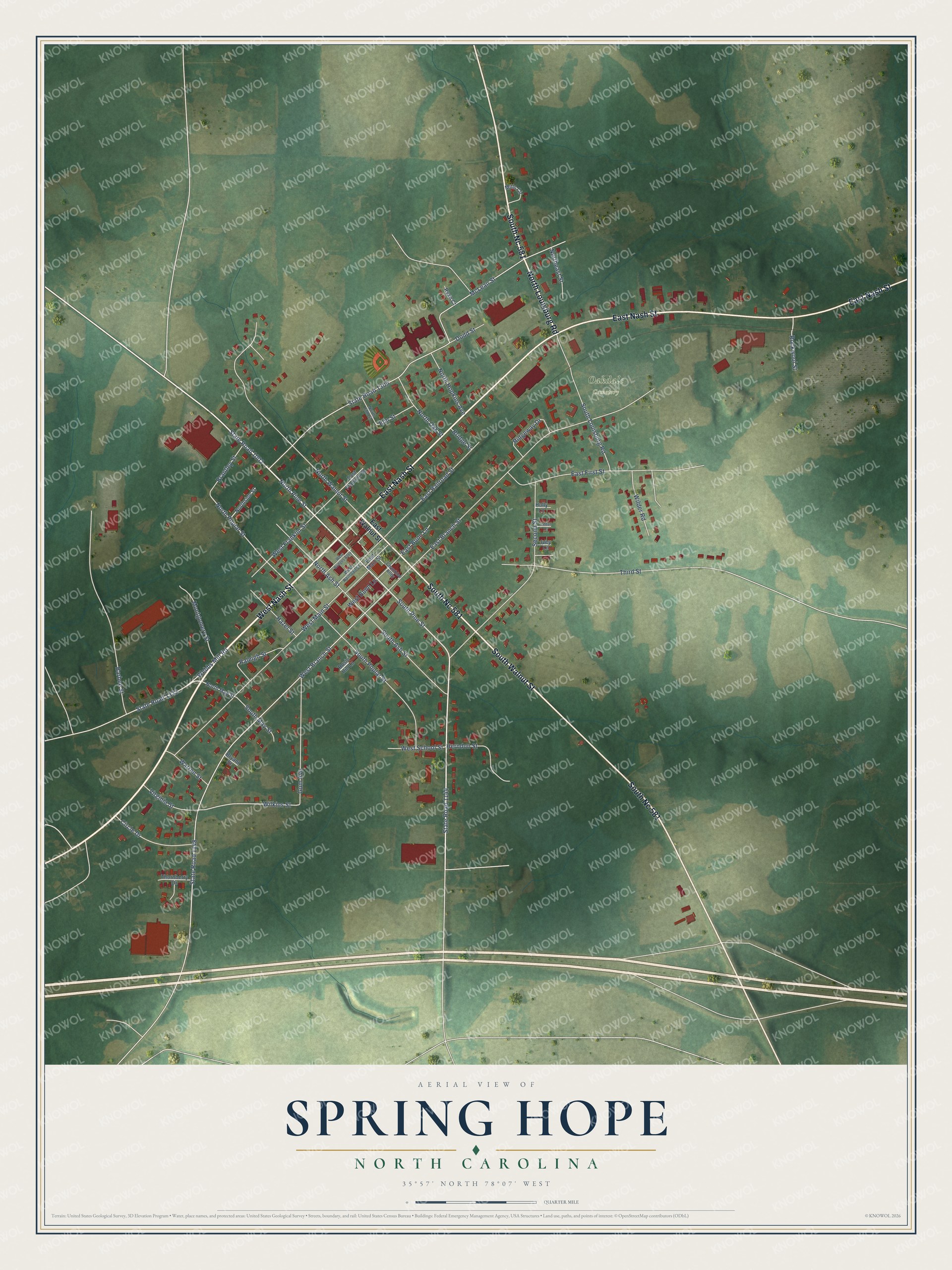
This beautifully detailed map of Spring Hope, North Carolina was created in 2026 using aerial imagery combined with modern topographical, census, street and landmark data. It's a modern aerial view of Spring Hope in Nash County, North Carolina, that combines modern data with a vintage aesthetic. The roads feature printed names, and if you look closely you can find your exact house accurately shown in its correct location.
Explore an aerial view of Spring Hope, North Carolina
On this map you'll find Oakdale Cemetery, West Nash Street, South Nc 581, East Nash Street, South Walnut Street, North Louisburg Road, South Pine Street, North Pine Street, State Road 1002, State Road 1144, State Road 1333, Webbs Mill Road, and more. Each red shape is a building, so zoom in on the preview and look for yours.
Spring Hope has a story worth telling. The North Carolina Historic Preservation Office puts it this way: "The nucleus of Spring Hope's business district and the clearest symbol of the railroad's integral role in the town's history, the railroad depot is perhaps the community's most historically significant structure. It was built about 1887 as a freight and passenger station for the Wilmington-Weldon Railroad."
Spring Hope is a town in Nash County. The Census Bureau counted 1,309 people here in 2020.
Take a closer look at the Spring Hope map
Names on this map
These names are printed on this map.
Places: Oakdale Cemetery.
Streets and roads: West Nash Street, South Nc 581, East Nash Street, South Walnut Street, North Louisburg Road, South Pine Street, North Pine Street, State Road 1002, State Road 1144, State Road 1333, Webbs Mill Road, North Poplar Street.
More street names, A to Z
Barbee Street, Brantley Street, Bridge Street, Bryant Street, Cedar Lane, Chamblee Alley, Circle Drive, Dodd Street, East Branch Street, East Bunn Lane, East First Street, East Franklin Street, East Main Street, East Railroad Street, East Walnut Street, Elm Street, Gum Avenue, Hazel Street, Herndon Street, Holly Lane, Ivey Lane, McLean Street, Mills Circle, Montgomery Street, North Ash Street, Northeast Street, North Elm Street, North Hopkins Avenue, North May Street, North Oak Street, Northside Street, North Walnut Street, Raleigh Street, Ridgeway Drive, Rockwool Street, Rosin Hill Lane, Ryan Court, Second Street, South Ash Street, South Louisburg Road, South May Street, South Poplar Street, State Road 1148, State Road 1305, Third Street, Thornberry Drive, Virginia Street, Warren Street, West Branch Street, West Bridges Alley, West Bunn Lane, West Franklin Street, West Main Street, West Railroad Street, West School Street, Wilder Road, Wilkins Street.
Created by KNOWOL in 2026. The buildings are small red shapes, the roads carry their printed names, and shaded relief shows the shape of the land. The title panel reads "AERIAL VIEW OF SPRING HOPE NORTH CAROLINA" with 35°57' NORTH 78°07' WEST.
It looks right in a kitchen, an office or a den, and it's a gift for anyone who grew up in Spring Hope or moved away. Open the preview and find your street. See sizes and frames for the Spring Hope map.