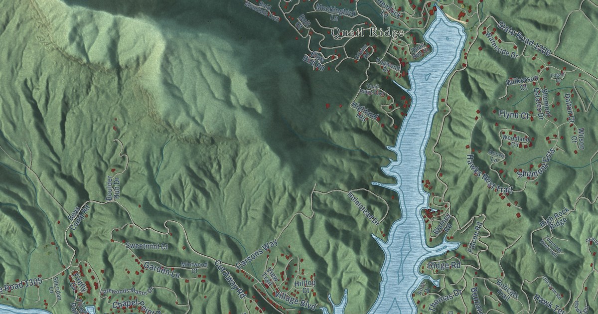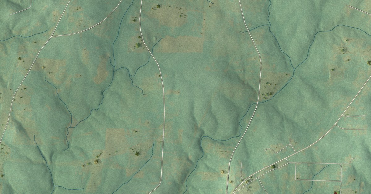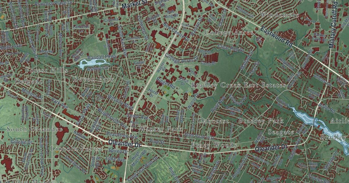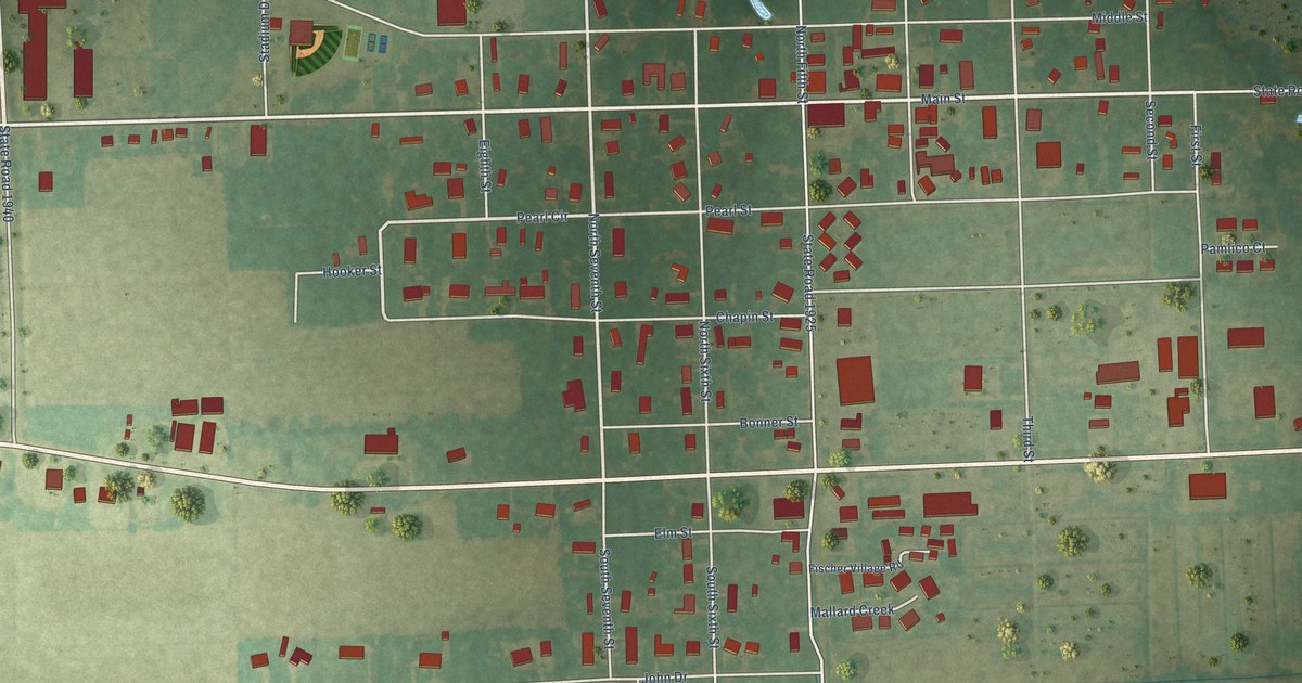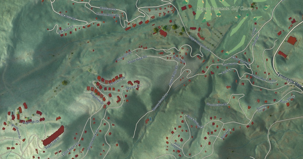
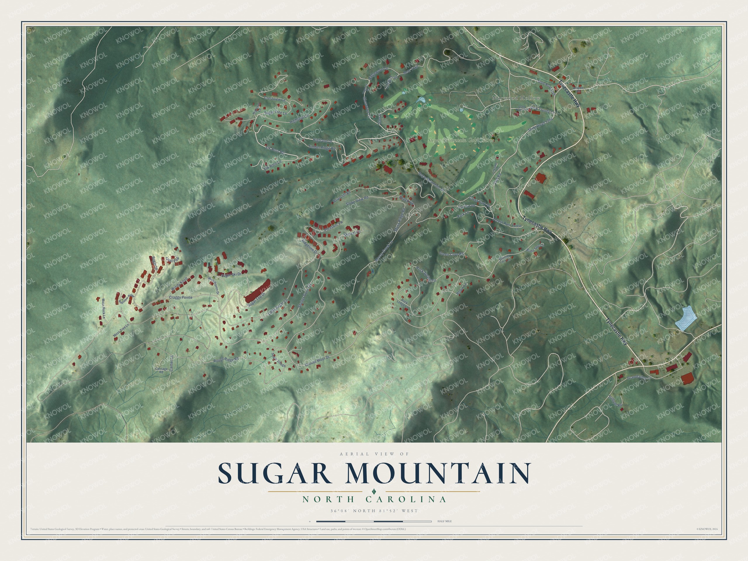
This beautifully detailed map of Sugar Mountain, North Carolina was created in 2026 using aerial imagery combined with modern topographical, census, street and landmark data. It's a modern aerial view of Sugar Mountain in Avery County, North Carolina, that combines modern data with a vintage aesthetic. The roads feature printed names, and if you look closely you can find your exact house accurately shown in its correct location.
Explore an aerial view of Sugar Mountain, North Carolina
On this map you'll find Norwood Hollow, Sugar Mountain Golf Course, Tynecastle Highway, Highland Drive, Elk Horn Lane, Glenwood Lane, State Road 1364, Sugar Mountain Drive, Grouse Moor Drive, Shelter Rock Circle, Mossy Creek Lane, Craggy Pointe, and more. Each red shape is a building, so zoom in on the preview and look for yours.
Here is a piece of Sugar Mountain history, in the words of the record. The Village of Sugar Mountain puts it this way: "The birth of the Sugar Mountain Company began with the purchase of 2000 acres of land by Retired General Alexander Andrews and Albert Johnson. They combined their acreage with 900 acres owned by George McRae a tract owned by Julian Morton and two Norwood Hollow farms to form what was to become Sugar Mountain."
Sugar Mountain is a village in Avery County. The Census Bureau counted 371 people here in 2020.
Take a closer look at the Sugar Mountain map
Names on this map
These names are printed on this map.
Places: Norwood Hollow and Sugar Mountain Golf Course.
Streets and roads: Tynecastle Highway, Highland Drive, Elk Horn Lane, Glenwood Lane, State Road 1364, Sugar Mountain Drive, Grouse Moor Drive, Shelter Rock Circle, Mossy Creek Lane, Craggy Pointe, Rock Spring Circle, Little Sugar Lane.
More street names, A to Z
Arnette Road, Bear Trail, Beech Vw, Briarcliff Road, Bridle Spur Lane, Canter Lane, Carriage Road, Crestview Lane, Cross Park Drive, Dell Road, Dick Trundy Lane, Elk Horn Road, Forest Lane, Forest Run, Fox Run Road, Glen II, Grandfather Lane, Green Cove Road, Highland Circle, Highland Lane, Linksider Lane, Moss Ridge Road, Moss Rock Lane, Moss Tree Lane, Park Lane, Pleasant Vw, Ridgeline Drive, Ridgeview Road, Ridgewood Drive, Robin Lane, Rock Ledge Lane, Rough Ridge Road, Skyleaf Lane, Slope View Road, Squirrel Corn Lane, State Road 1340, State Road 1369, Sugar Hl, Sugar Ski Drive, Sugar Top Drive, Sugar Tree Lane, Sugar Village, Timber Ridge Road, Trail End, Trillium Road, Turkey Trail, Wildflower Ridge, Windy Knoll, Woodhaven Drive.
Created by KNOWOL in 2026. The buildings are small red shapes, the roads carry their printed names, and shaded relief shows the shape of the land. The title panel reads "AERIAL VIEW OF SUGAR MOUNTAIN NORTH CAROLINA" with 36°08' NORTH 81°52' WEST.
It suits a den, a classroom or a front hall, and it makes a gift for anyone with Sugar Mountain roots. Open the preview and find the block you know. See sizes and frames for the Sugar Mountain map.