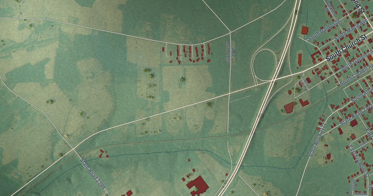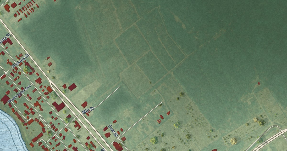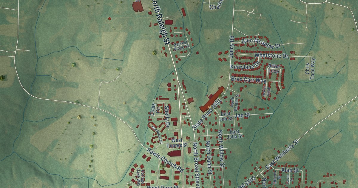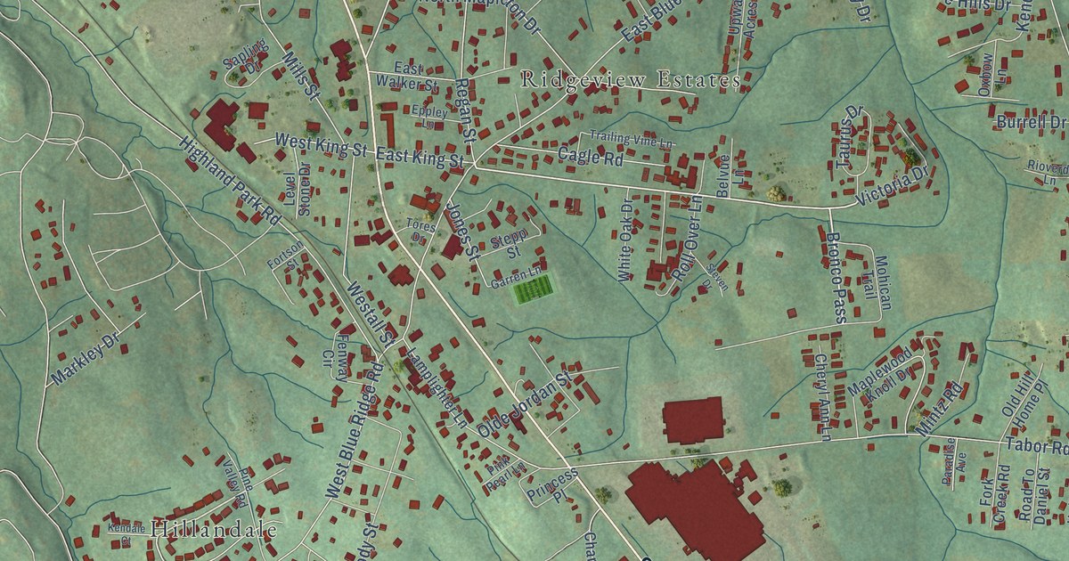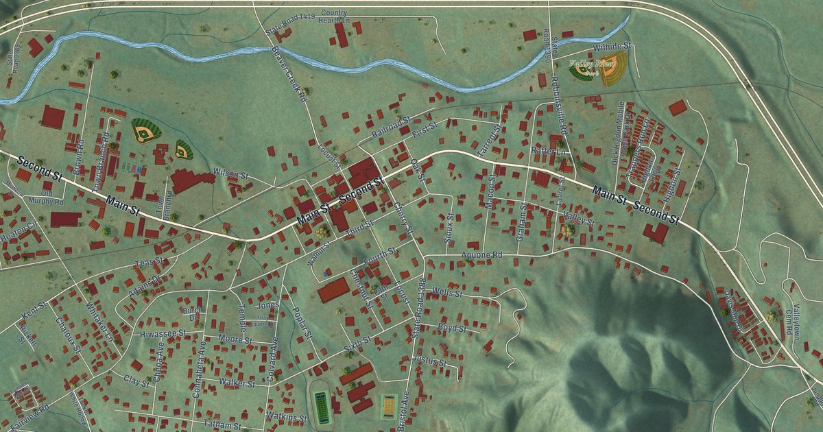
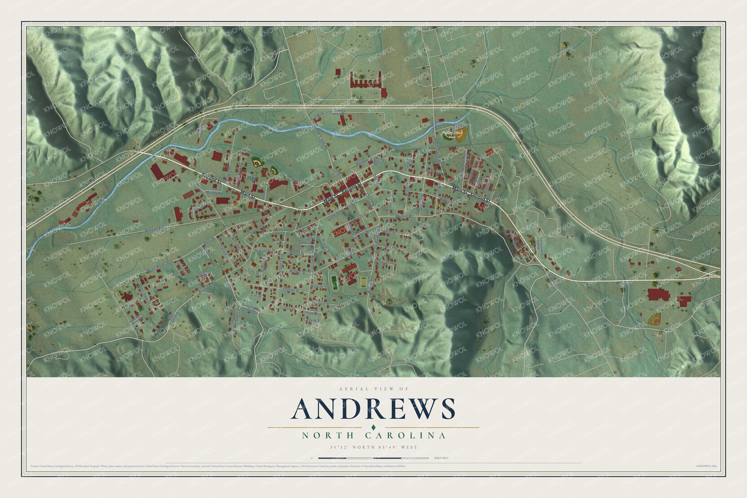
This beautifully detailed map of Andrews, North Carolina was created in 2026 using aerial imagery combined with modern topographical, census, street and landmark data. It's a modern aerial view of Andrews in Cherokee County, North Carolina, that combines modern data with a vintage aesthetic. The roads feature printed names, and if you look closely you can find your exact house accurately shown in its correct location.
Explore an aerial view of Andrews, North Carolina
On this map you'll find Valley River Park, Second Street, Main Street, Aquone Road, Cherry Street, Beaver Creek Road, Fairview Road, Third Street, Sixth Street, State Road 1388, State Road 1616, First Street, and more. Each red shape is a building, so zoom in on the preview and look for yours.
Every town has a first chapter, and Andrews is no exception. The North Carolina Gazetteer puts it this way: "Andrews town in NE Cherokee County. Inc. 1905. First known as Valley Town, a name still applied to an adjacent community. Renamed for Alexander Boyd Andrews (1841-1915), leader in the development of the Western North Carolina Railroad."
Andrews is a town in Cherokee County. The Census Bureau counted 1,667 people here in 2020.
Take a closer look at the Andrews map
Names on this map
These names are printed on this map.
Places: Valley River Park.
Streets and roads: Second Street, Main Street, Aquone Road, Cherry Street, Beaver Creek Road, Fairview Road, Third Street, Sixth Street, State Road 1388, State Road 1616, First Street, Whitaker Lane.
More street names, A to Z
Adams Drive, Boyd Street, Bridal Path Lane, Bristol Avenue, Brown Road, Burch Drive, Chaloux Street, Cheoa Avenue, Chestnut Street, Clay Street, Collett Street, Colvard Avenue, Connaheta Avenue, Country Hearth Lane, Davis Mhp Drive, Dick Higdon Mobile Home Park Drive, Fairview Mhp Circle, Fifth Street, Fourth Street, Graham Street, Gray Squirrel Drive, Heaton Circle, Higdon Loop, Higdon Street, Hiwassee Street, Jones, Junaluska Road, Justus Street, Kent Street, Lail Street, Laurel Street, Locust, Locust Street, Macon Street, Memorial Drive, Moore Street, Mountain View Drive, Mountain Vw, Oak Street, Old Murphy Road, Payne Street, Poplar Street, Rafter Lane, Railroad Street, Reagan Avenue, Rickett Street, Robbinsville Road, Sioux Street, State Road 1368, State Road 1390, State Road 1419, State Road 1512, State Road 1515, Tarrent Street, Tatham Street, Teas Street, Temple, Town Branchrd, Town Branch Road, Trappers Run Lane, Tucker White Hollow, Tucker White Hollow Street, Valley Street, Valleytown Cem Road, Valley View Manor Drive, Walker Street, Walnut Street, Watkins Street, Wells Street, Wilhide Street, Wilmont Street, Wilson Street.
Created by KNOWOL in 2026. The buildings are small red shapes, the roads carry their printed names, and shaded relief shows the shape of the land. The title panel reads "AERIAL VIEW OF ANDREWS NORTH CAROLINA" with 35°12' NORTH 83°49' WEST.
Hang it in the hallway, the office or the cabin, or give it to someone who left Andrews and still calls it home. Open the preview and look for a street you know. See sizes and frames for the Andrews map.