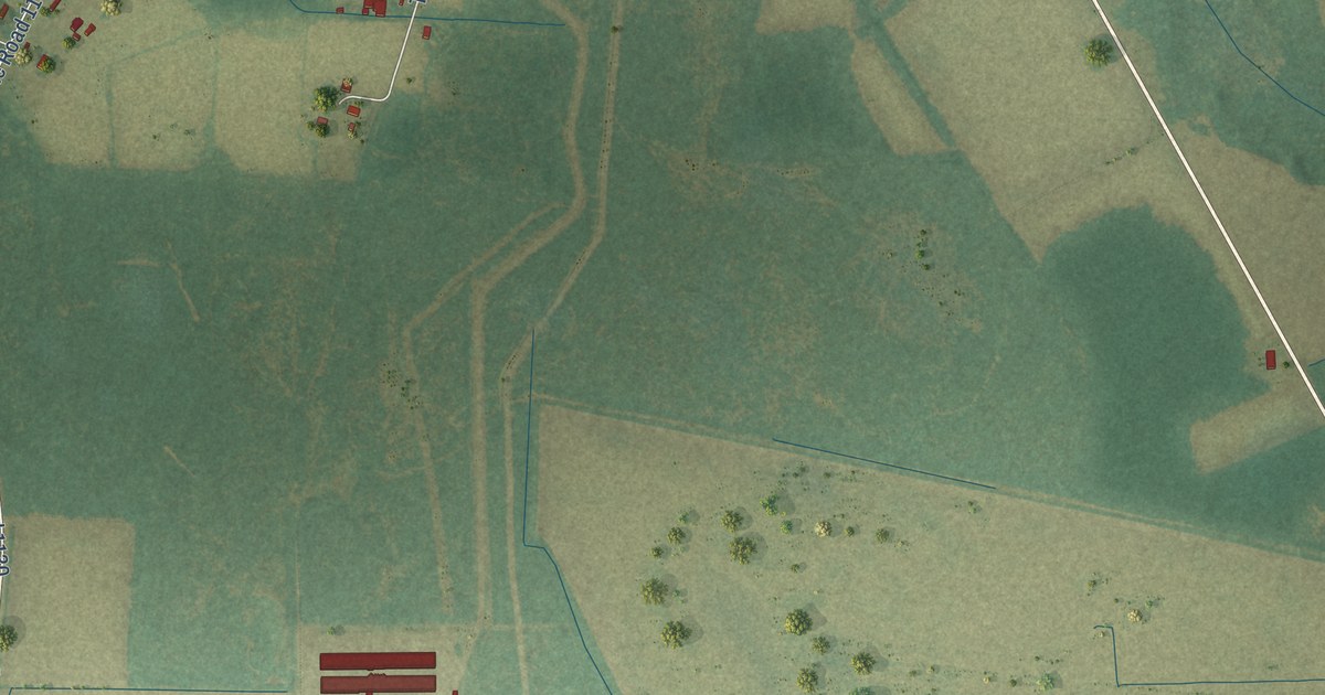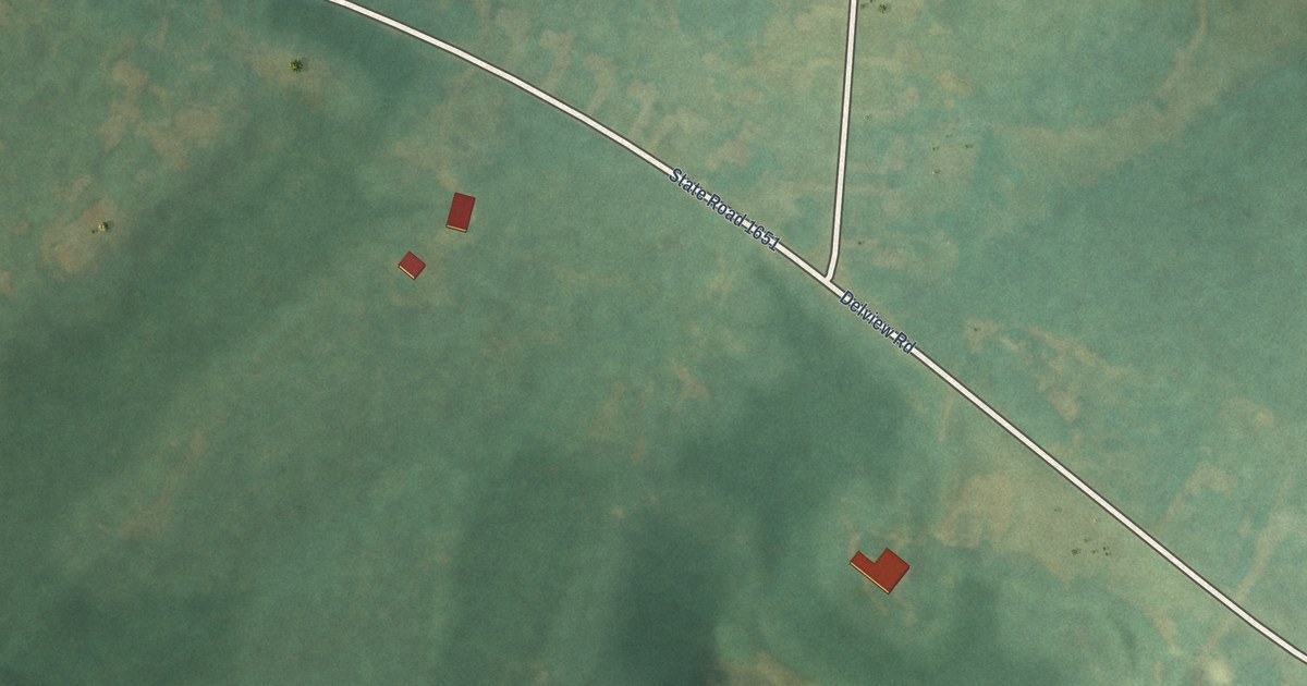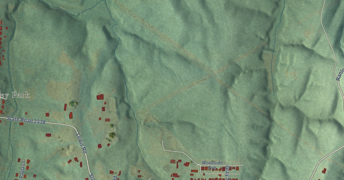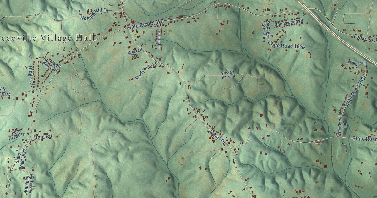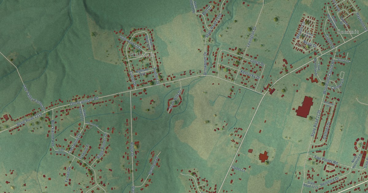
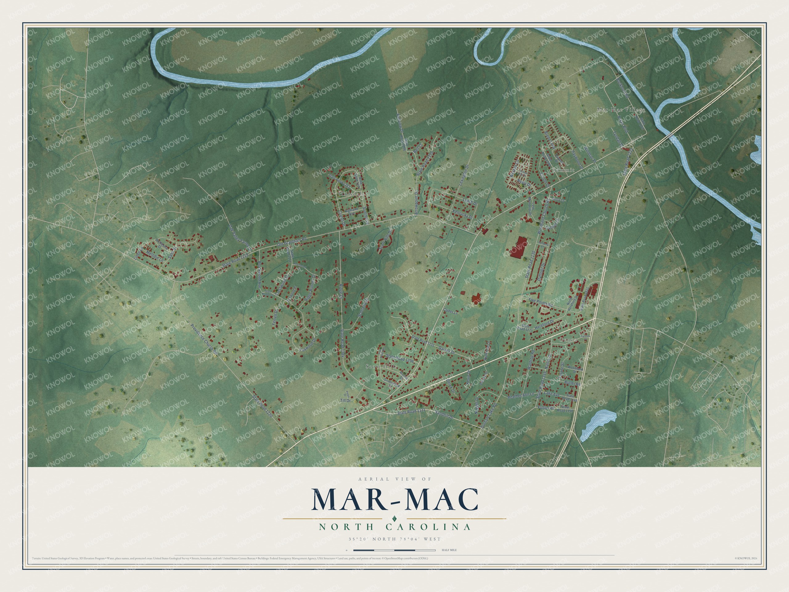
This beautifully detailed map of Mar-Mac, North Carolina was created in 2026 using aerial imagery combined with modern topographical, census, street and landmark data. It's a modern aerial view of Mar-Mac in Wayne County, North Carolina, that combines modern data with a vintage aesthetic. The roads feature printed names, and if you look closely you can find your exact house accurately shown in its correct location.
Explore an aerial view of Mar-Mac, North Carolina
On this map you'll find Genoa, Summit, Scott Hills, Hillsdale, Mar-Mac Village, State Road 1219, Sandhill Drive, State Road 1131, Old Grantham Road, State Road 1130, Providence Church Road, State Road 1220, and more. Each red shape is a building, so zoom in on the preview and look for yours.
Mar-Mac has a story worth telling. After the floods of 1999, land in Mar-Mac was acquired and FEMA gave Wayne Community College the use of it for 99 years. In February 2004 the college's forestry students and instructors planted 31 acres there with longleaf and loblolly pine and some mixed hardwood. Forestry instructor Jim Slye said the old flood land would now hold up better in a hurricane, because the water would have some place else to go. That's from the Wayne Community College Campus Voice.
Mar-Mac is a community in Wayne County. The Census Bureau counted 3,184 people here in 2020. Mar-Mac sits about 3 miles northwest of Brogden, 5 miles north of Dudley and 6 miles southwest of Goldsboro. The map prints the town name in its title panel, with the coordinates below it.
Take a closer look at the Mar-Mac map
Names on this map
These names are printed on this map.
Places: Genoa, Summit, Scott Hills, Hillsdale and Mar-Mac Village.
Streets and roads: State Road 1219, Sandhill Drive, State Road 1131, Old Grantham Road, State Road 1130, Providence Church Road, State Road 1220, Ridge Drive, State Road 1284, Woodland Church Road, Foxwood Drive, Buckhorn Road.
More street names, A to Z
Arrowpoint Drive, Beechwood Drive, Bell Court, Bellview Drive, Brenn Loop, Brockwood Avenue, Bryan Boulevard, Butler Road, Buttercup Lane, Carmel Lane, Carolina Street, Clydes Lane, Comet Drive, Crestwood Drive, Croom Drive, Daffodil Drive, Dawson Drive, Deluxe Drive, Derek Drive, Durham Lake Road, Ferrell Drive, Five Points Road, Foxwood Place, Fulton Road, Gainey Drive, Haywood Drive, Heather Ann Lane, Hereford Drive, Highland Avenue, Kentucky Drive, Kevin Drive, Lake Avenue, Lexington Drive, Linen Lane, Love Memorial Drive, Lynch Drive, Marcia Drive, Melodie Lane, Nancy Drive, Nealy Drive, North Hereford Drive, Nugget Drive, Oak Valley Farms Drive, Orchestra Street, Pintail Drive, Ridge Runner Drive, Sami Street, Scotland Drive, Scott Hills Drive, Southwood Drive, State Road 1148, State Road 1149, State Road 1150, State Road 1151, State Road 1221, State Road 1222, State Road 1247, State Road 1271, State Road 1277, State Road 1281, State Road 1283, State Road 1290, State Road 1296, State Road 2105, State Road 2106, State Road 2111, State Road 2112, Summit Drive, Surry Lane, Tarheel Pine Drive, Till Drive, Tulane Street, Tyndall Drive, Verbena Lane, Waldrop Road, Weston Circle, Windsor Place, Woodland Street.
See it on a wall
The Mar-Mac map as a framed print. Swipe for more.


Created by KNOWOL in 2026. The buildings are small red shapes, the roads carry their printed names, and shaded relief shows the shape of the land. The title panel reads "AERIAL VIEW OF MAR-MAC, NORTH CAROLINA" with 35°20' NORTH 78°04' WEST.
It looks right in a kitchen, an office or a den, and it's a gift for anyone who grew up in Mar-Mac or moved away. Open the preview and find your street. See sizes and frames for the Mar-Mac map.