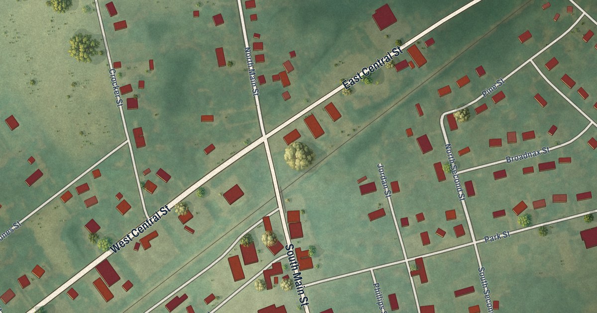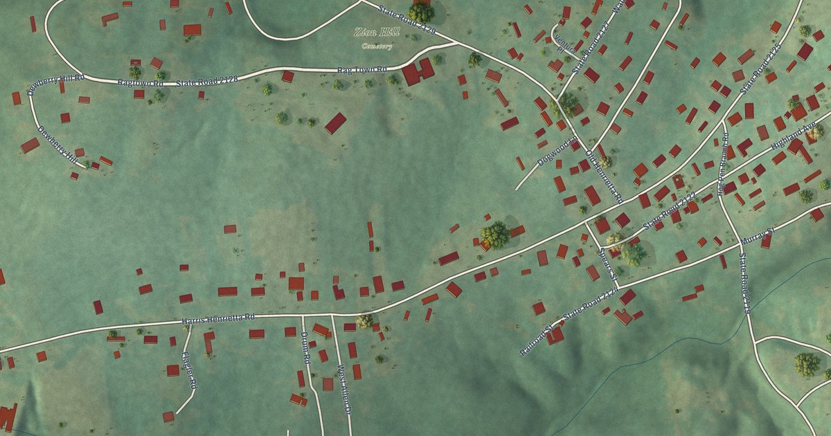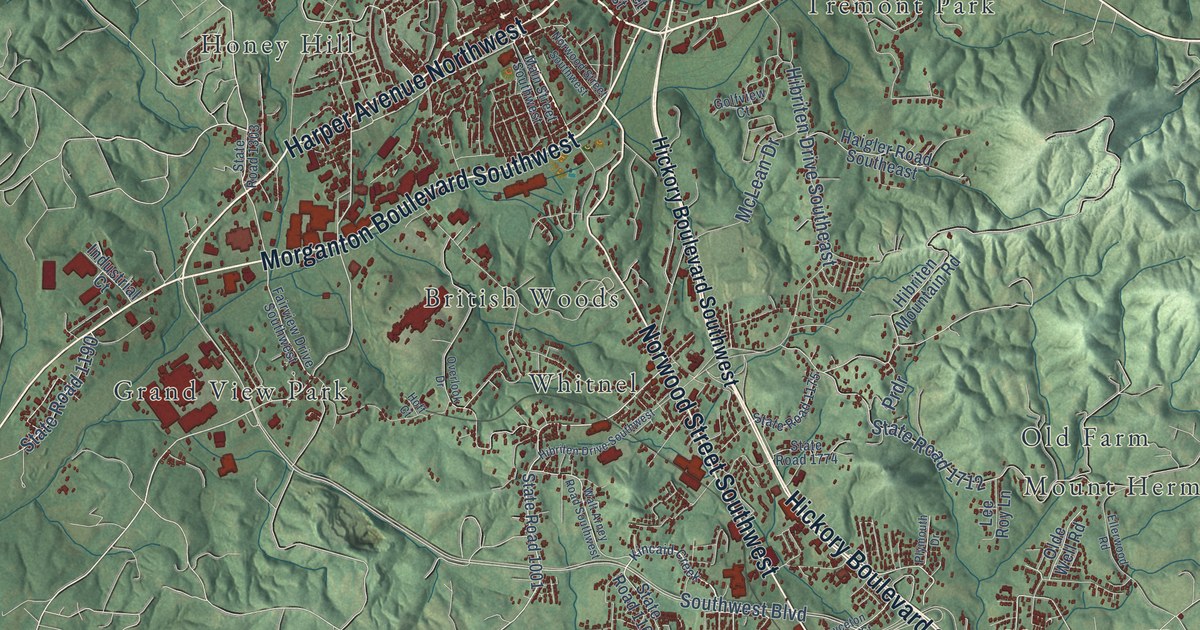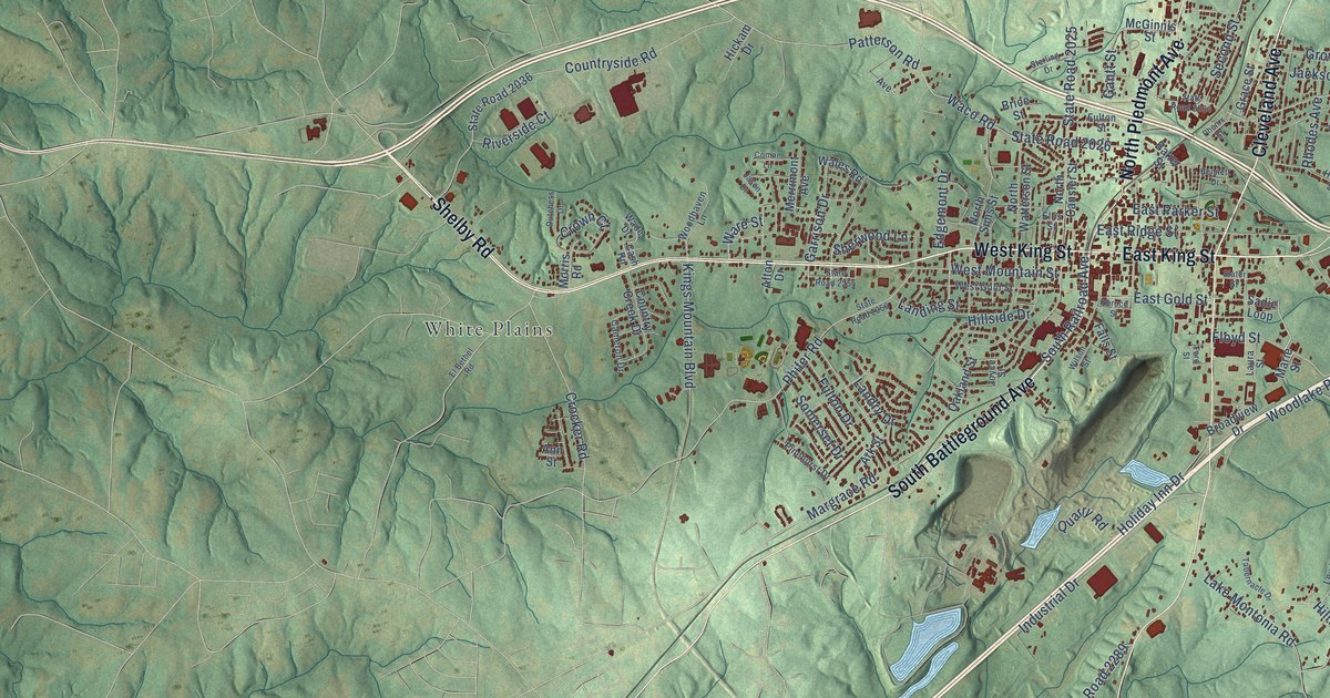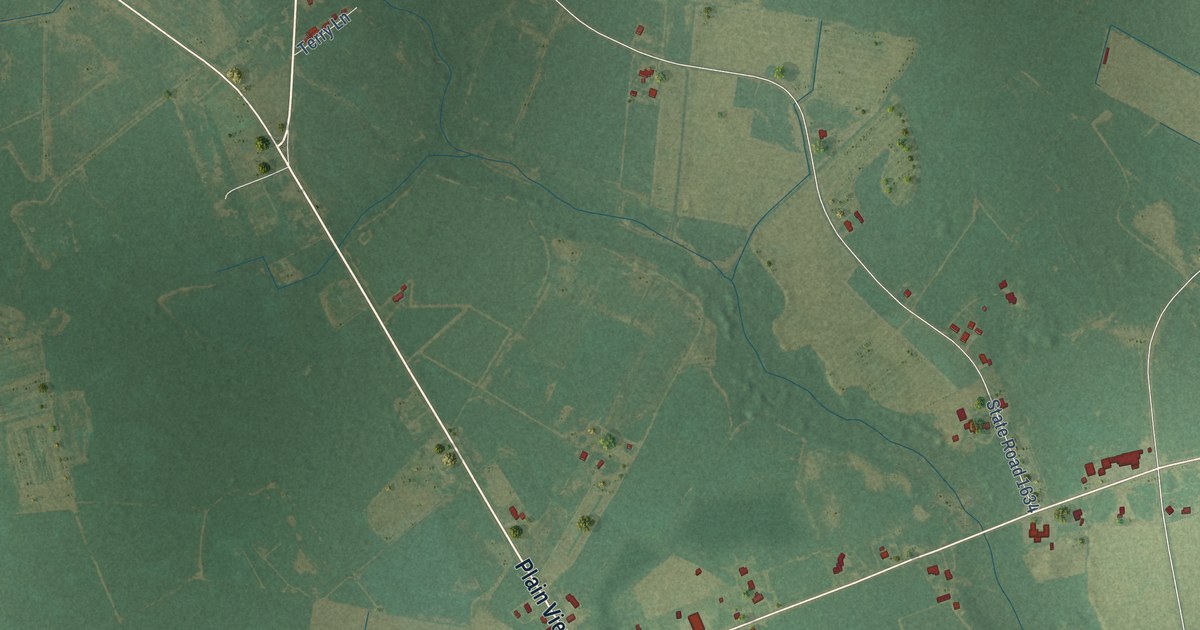
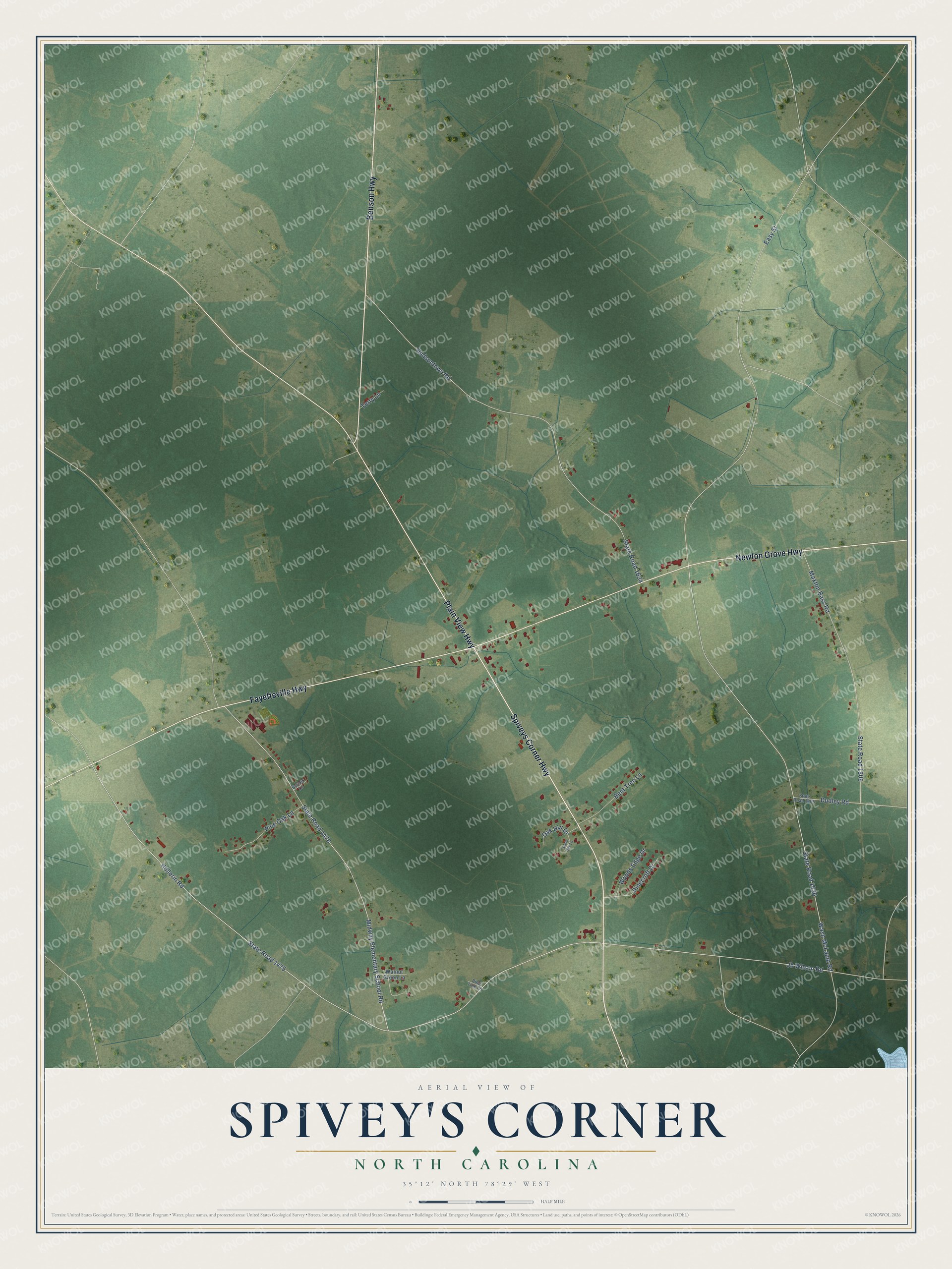
This beautifully detailed map of Spivey's Corner, North Carolina was created in 2026 using aerial imagery combined with modern topographical, census, street and landmark data. It's a modern aerial view of Spivey's Corner in Sampson County, North Carolina, that combines modern data with a vintage aesthetic. The roads feature printed names, and if you look closely you can find your exact house accurately shown in its correct location.
Explore an aerial view of Spivey's Corner, North Carolina
On this map you'll find Spiveys Corner Highway, Fayetteville Highway, Benson Highway, Newton Grove Highway, Plain View Highway, State Road 1475, Jb Wilson Road, Hollerin Road, Wash McLamb Road, Midway Elementary School Road, State Road 1476, State Road 1636, and more. Each red shape is a building, so zoom in on the preview and look for yours.
Spivey's Corner has a story worth telling. Spivey's Corner was the home of the National Hollerin' Contest, which grew out of a late 1960s radio broadcast by Ermon H. Godwin and John Thomas. The community had only forty-eight residents, yet the first contest in June 1969 drew more than 2,000 people, and President Richard Nixon sent the first champion, Dewey Jackson, a note of congratulations. The contest raised money for the Spivey's Corner Volunteer Fire Department, and the last one was held in 2016. That's from the North Carolina History Project.
Spivey's Corner is a community in Sampson County. The Census Bureau counted 576 people here in 2020.
Take a closer look at the Spivey's Corner map
Names on this map
These names are printed on this map.
Streets and roads: Spiveys Corner Highway, Fayetteville Highway, Benson Highway, Newton Grove Highway, Plain View Highway, State Road 1475, Jb Wilson Road, Hollerin Road, Wash McLamb Road, Midway Elementary School Road, State Road 1476, State Road 1636.
More street names, A to Z
Barnes Lane, Bent Tree Lane, Dudley Road, Easy Street, Hudsontown Road, Maxton Bass Road, Oak Hill Drive, Pinecroft Drive, Pine Oak Lane, Pine Tree Lane, South Oak Lane, State Road 1634, State Road 1805, State Road 1806, Terry Lane, Walnut Green Lane, Woods Edge Drive.
See it on a wall
The Spivey's Corner map as a framed print. Swipe for more.


Created by KNOWOL in 2026. The buildings are small red shapes, the roads carry their printed names, and shaded relief shows the shape of the land. The title panel reads "AERIAL VIEW OF SPIVEY'S CORNER, NORTH CAROLINA" with 35°12' NORTH 78°29' WEST.
It looks right in a kitchen, an office or a den, and it's a gift for anyone who grew up in Spivey's Corner or moved away. Open the preview and find your street. See sizes and frames for the Spivey’s Corner map.