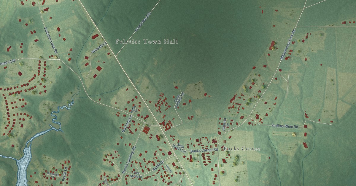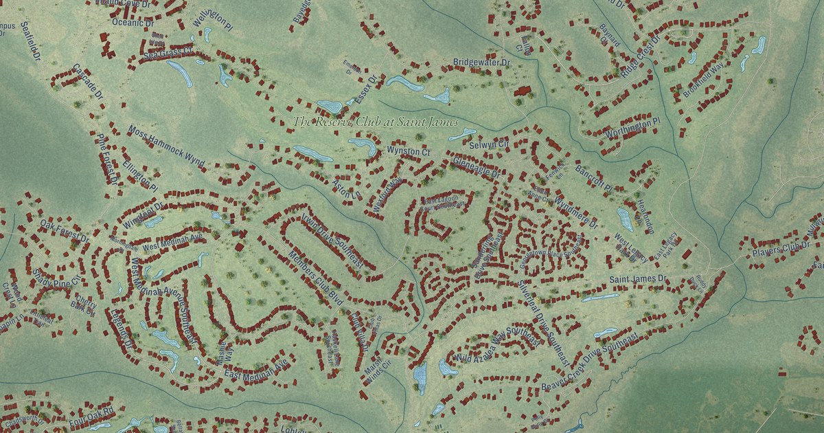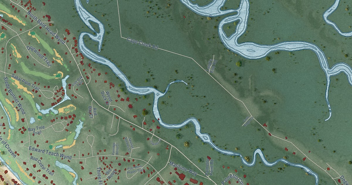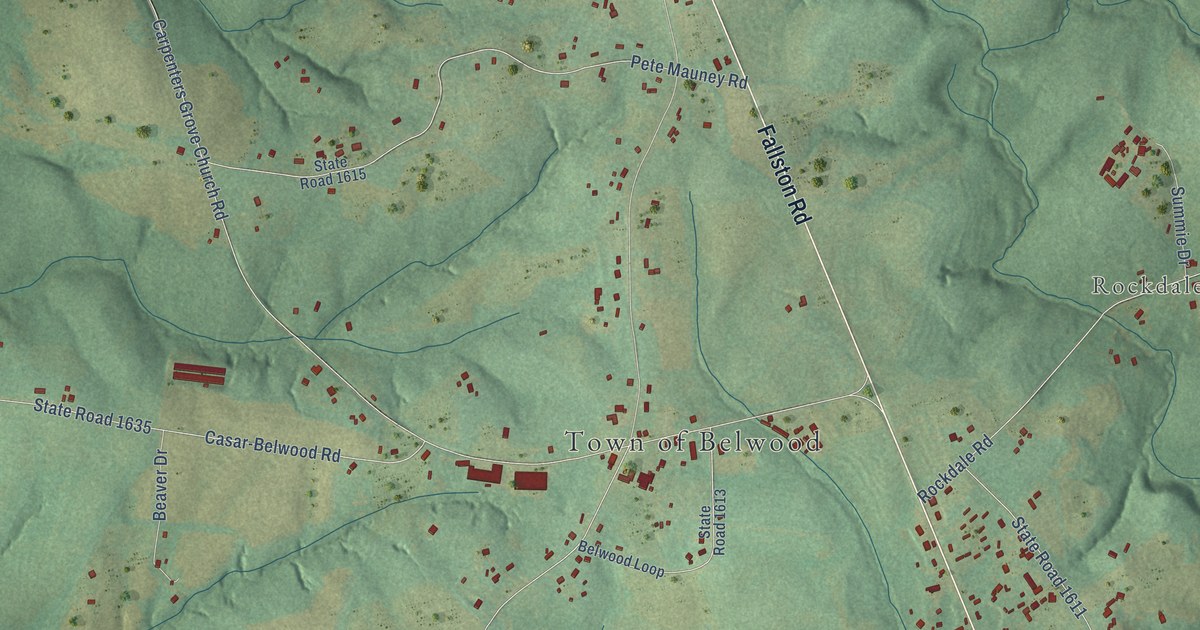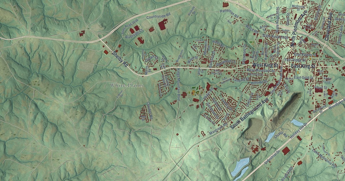
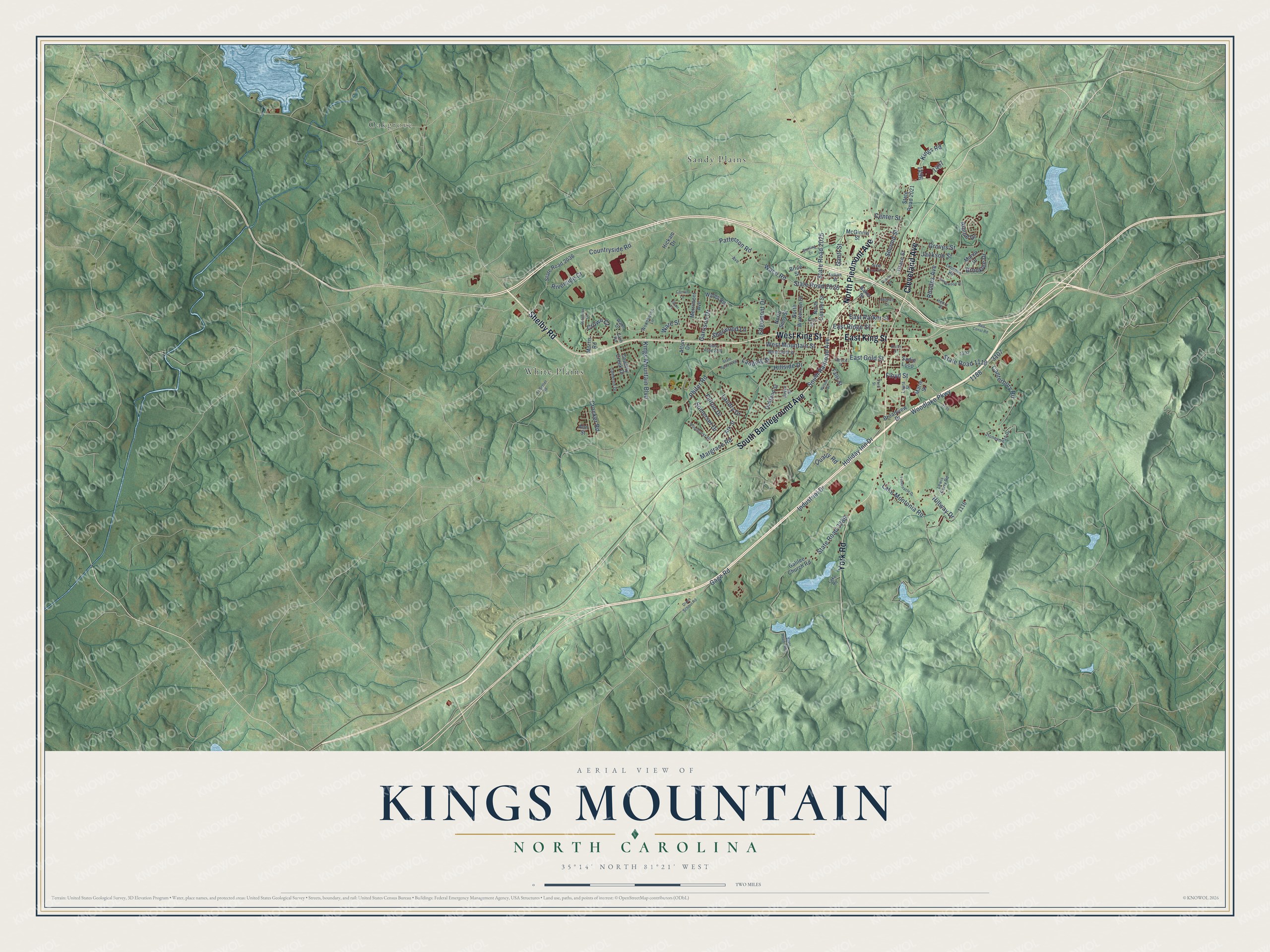
This beautifully detailed map of Kings Mountain, North Carolina was created in 2026 using aerial imagery combined with modern topographical, census, street and landmark data. It's a modern aerial view of Kings Mountain in Cleveland County, North Carolina, that combines modern data with a vintage aesthetic. The roads feature printed names, and if you look closely you can find your exact house accurately shown in its correct location.
Explore an aerial view of Kings Mountain, North Carolina
On this map you'll find Oakgrove, Sandy Plains, White Plains, West King Street, Cleveland Avenue, East King Street, South Battleground Avenue, York Road, North Piedmont Avenue, Shelby Road, East Gold Street, Floyd Street, and more. Each red shape is a building, so zoom in on the preview and look for yours.
Every town has a first chapter, and Kings Mountain is no exception. The record at dncr.nc.gov puts it this way: "In the early afternoon of the following day, Patriot forces arrived at the foot of Kings Mountain, named for a farmer who once lived in the area."
Kings Mountain is a city in Cleveland County. The Census Bureau counted 11,142 people here in 2020.
Take a closer look at the Kings Mountain map
Names on this map
These names are printed on this map.
Places: Oakgrove, Sandy Plains and White Plains.
Streets and roads: West King Street, Cleveland Avenue, East King Street, South Battleground Avenue, York Road, North Piedmont Avenue, Shelby Road, East Gold Street, Floyd Street, State Road 2026, Fulton Drive, Canterbury Road.
More street names, A to Z
Afton Drive, Alpine Drive, Ann Street, Ark Street, Avenue, Baker Street, Bennett Drive, Brice Street, Broadview Drive, Brooklee Drive, Brookwood Drive, Cameron Drive, Cash Road, Center Street, Coman Lane, Country Creek Drive, Countryside Road, Crocker Road, Crown Court, Dixon School Road, Dutchess Drive, East Parker Street, East Ridge Street, Edgemont Drive, El Bethel Road, Ellis Street, Falls Street, Ford Street, Fulton Street, Gage Road, Galilee Church Road, Gantt Street, Garrison Drive, Grace Street, Groves Street, Henry Street, Hickam Drive, Hillside Drive, Hillway Drive, Holiday Inn Drive, Industrial Drive, Jackson Street, Jason Drive, Joyce Street, Kings Mountain Boulevard, Kings Road, Lake Montonia Road, Lake Road, Landing Street, Landry Drive, Laura Street, Lewis Curry Road, Linwood Road, Manor Drive, Margrace Road, Marie Street, McGinnis Street, Merrimont Avenue, Morris Road, North Cansler Street, North Sims Street, North Watterson Street, Oakland Street, Patterson Road, Phenix Street, Phifer Road, Pinehurst Drive, Quarry Road, Rea Const Road, Rhodes Avenue, Riverside Court, Sadie Loop, Second Street, Sherwood Lane, Slater Street, Somerset Drive, South Railroad Avenue, Spruce Street, State Road 1118, State Road 2021, State Road 2025, State Road 2034, State Road 2036, State Road 2254, State Road 2256, State Road 2289, State Road 2443, Sterling Drive, Stoneymead Drive, Tabernacle Drive, Waco Road, Wade Drive, Wales Road, Ware Street, West Gold Street, West Mountain Street, Wilson Street, Woodhaven Lane, Woodlake Parkway.
Created by KNOWOL in 2026. The buildings are small red shapes, the roads carry their printed names, and shaded relief shows the shape of the land. The title panel reads "AERIAL VIEW OF KINGS MOUNTAIN NORTH CAROLINA" with 35°14' NORTH 81°21' WEST.
Hang it in the hallway, the office or the cabin, or give it to someone who left Kings Mountain and still calls it home. Open the preview and look for a street you know. See sizes and frames for the Kings Mountain map.