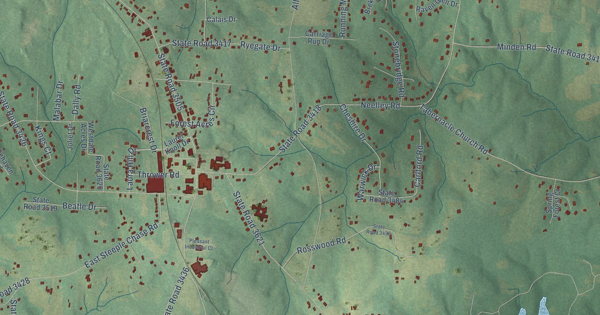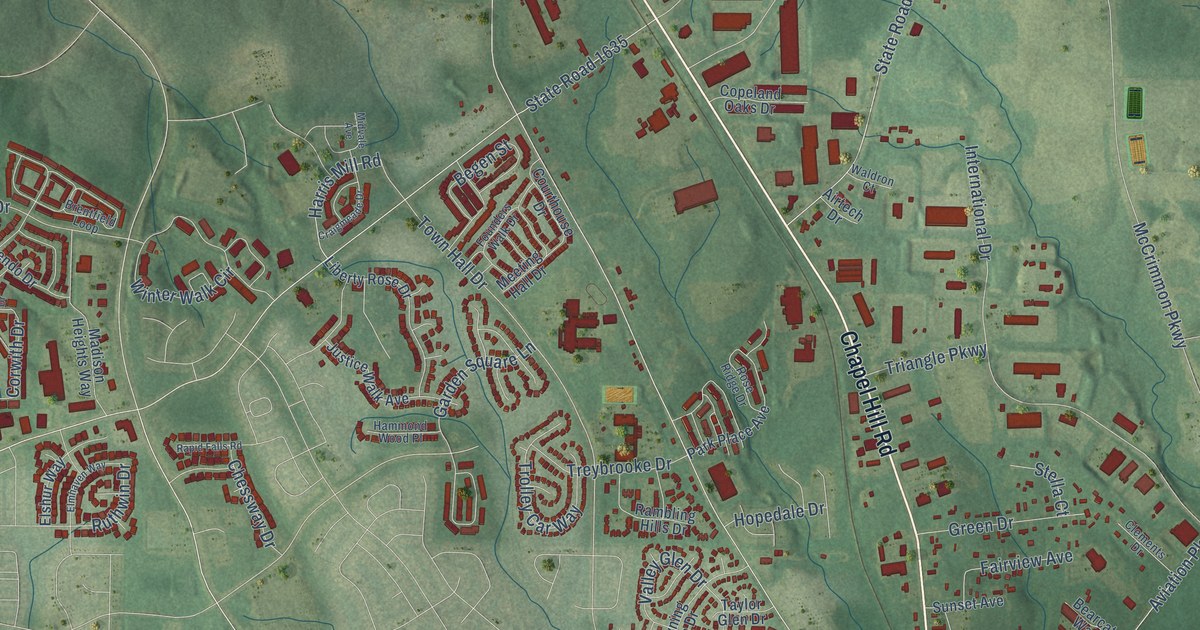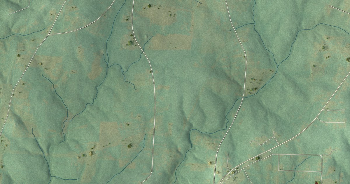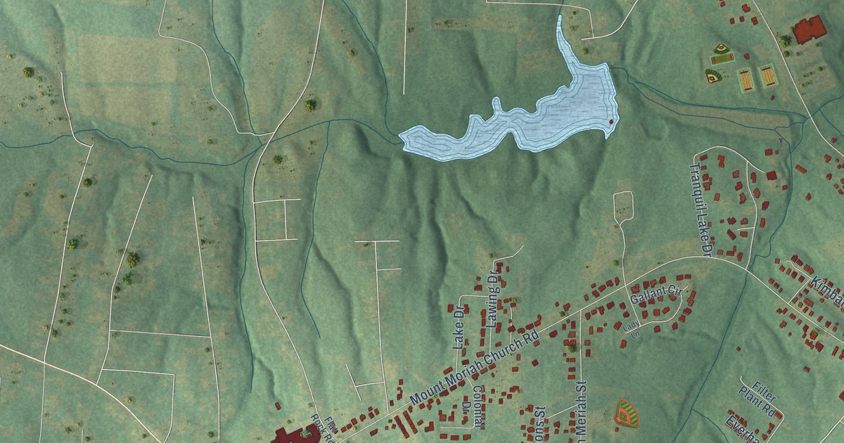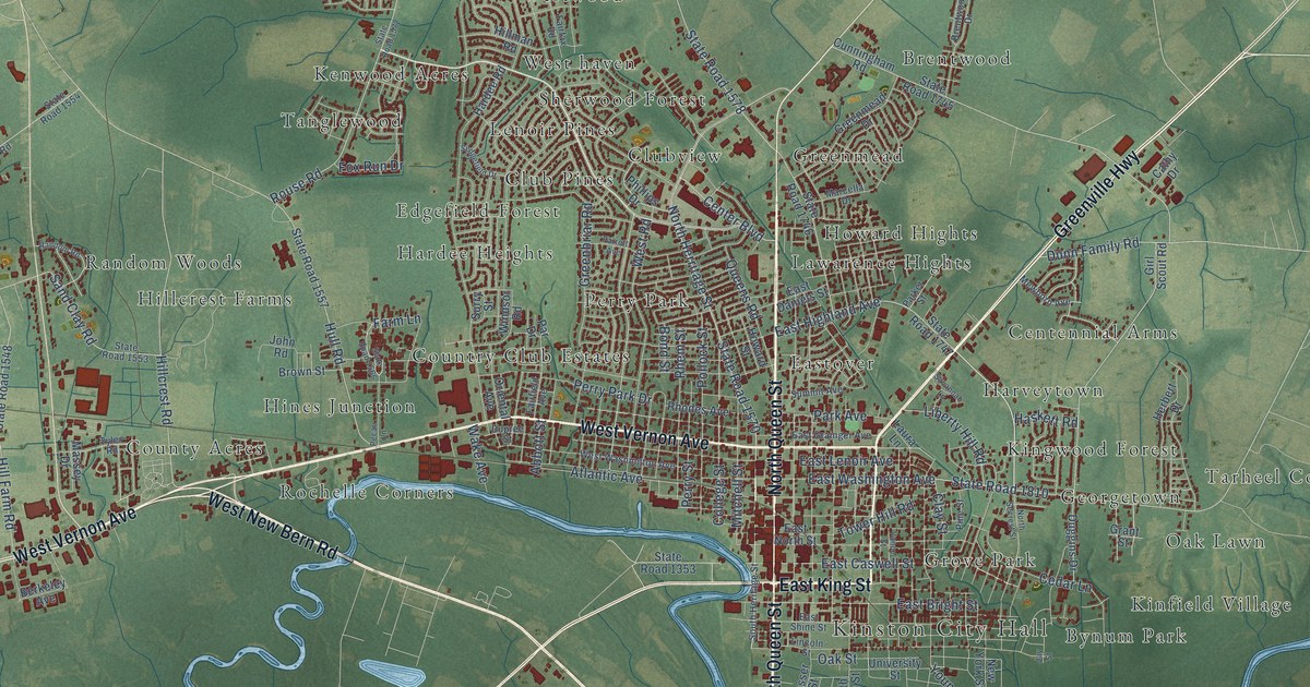
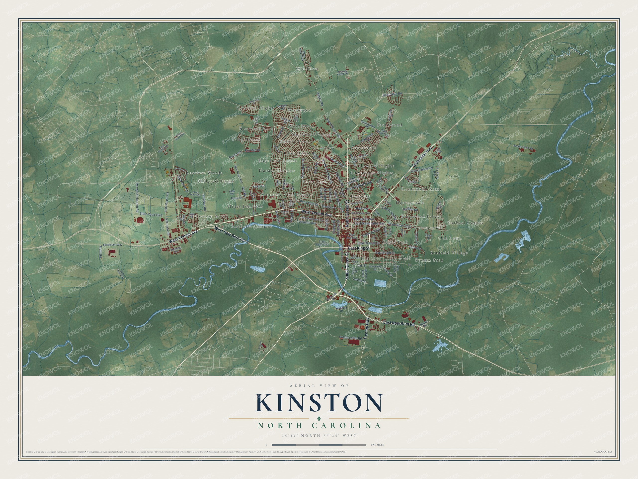
This beautifully detailed map of Kinston, North Carolina was created in 2026 using aerial imagery combined with modern topographical, census, street and landmark data. It's a modern aerial view of Kinston in Lenoir County, North Carolina, that combines modern data with a vintage aesthetic. The roads feature printed names, and if you look closely you can find your exact house accurately shown in its correct location.
Explore an aerial view of Kinston, North Carolina
On this map you'll find Kinston City Hall, Brentwood, Bynum Park, Centennial Arms, Club Pines, Clubview, Colonial Hights, Country Club Estates, County Acres, Eastover, Edgefield Forest, Georgetown, and more. Each red shape is a building, so zoom in on the preview and look for yours.
Every town has a first chapter, and Kinston is no exception. The record at ncpedia.org puts it this way: "When Evans arrived, he withdrew all of his forces to a defensive line two miles from the bridge crossing the Neuse at Kinston and held this strong natural position overnight."
Kinston is a city in Lenoir County. The Census Bureau counted 19,900 people here in 2020.
Take a closer look at the Kinston map
Names on this map
These names are printed on this map.
Places: Kinston City Hall, Brentwood, Bynum Park, Centennial Arms, Club Pines, Clubview, Colonial Hights, Country Club Estates, County Acres, Eastover, Edgefield Forest, Georgetown, Greenmead, Grove Park, Hardee Heights, Harveytown, Hillcrest Farms, Hines Junction, Howard Hights, Kenwood Acres, Kinfield Village, Kingwood Forest, Lawarence Hights, Lenoir Pines, Oak Lawn, Old Farm, Perry Park, Random Woods, Rochelle Corners, Sherwood Forest, Tanglewood, Tarheel Courts, West haven and Westwood.
Streets and roads: North Queen Street, East New Bern Road, Greenville Highway, South Queen Street, West New Bern Road, East King Street, West Vernon Avenue, Trenton Highway, State Road 1570, East Caswell Street, North Herritage Street, Tower Hill Road.
More street names, A to Z
Abbott Street, Academy Heights Road, Airport Road, Atlantic Avenue, Becton Farm Road, Berkeley Avenue, Bond Street, Brentwood Drive, Briery Run Road, Brown Street, Cathy Drive, Cedar Lane, Center Boulevard, Clay Street, College Street, Collier Loftin Road, Cunningham Road, Daly Waldrop Road, Duggins Drive, Dunn Family Road, Dupree Street, East Bright Street, East Daniels Street, East Grainger Avenue, East Highland Avenue, East Lenoir Avenue, East North Street, East Shine Street, East Washington Avenue, Fairfax Road, Fairfield Avenue, Farm Lane, Fox Run Drive, Girl Scout Road, Goodman Road, Grant Street, Greenbriar Road, Greenmead Drive, Hardee Road, Haskett Road, Herbert Drive, Hillcrest Road, Hill Farm Road, Hillman Road, Hodges Road, Howard Street, Hull Road, Jay Street, John Road, Lakeland Drive, Laura Lane, Liberty Hill Road, Lincoln Street, Marcella Drive, Massey Drive, Mewborn Avenue, Mitchell Street, Neuse Road, New York Street, North Secrest Street, Oak Street, Oriental Avenue, Par Drive, Park Avenue, Parker Street, Parrott Avenue, Parrott Dickerson Road, Pecan Lane, Perry Park Drive, Perry Street, Phillips Drive, Pine Street, Pollock Street, Pruitt Road, Queens Road, Random Road, Rhem Street, Rhodes Avenue, Richlands Road, Robinwood Drive, Rouse Road, Sand Clay Road, Sanderson Way, Sasser Street, Savannah Lane, Sedgefield Drive, South Davis Street, South Heritage Street, State Road 1340, State Road 1353, State Road 1547, State Road 1548, State Road 1553, State Road 1554, State Road 1557, State Road 1566, State Road 1572, State Road 1578, State Road 1604, State Road 1745, State Road 1746, State Road 1747, State Road 1810, Summit Avenue, Surry Street, Tampa Street, Tyler Road, University Street, Vance Street, Wake Avenue, West Road, West Washington Avenue, Windsor Road, Young Street.
Created by KNOWOL in 2026. The buildings are small red shapes, the roads carry their printed names, and shaded relief shows the shape of the land. The title panel reads "AERIAL VIEW OF KINSTON NORTH CAROLINA" with 35°16' NORTH 77°35' WEST.
Hang it in the hallway, the office or the cabin, or give it to someone who left Kinston and still calls it home. Open the preview and look for a street you know. See sizes and frames for the Kinston map.