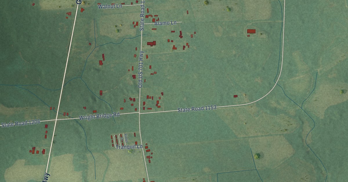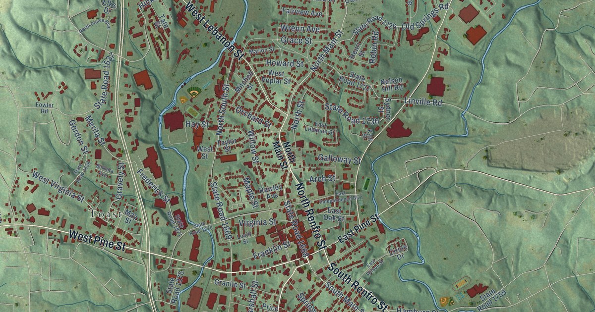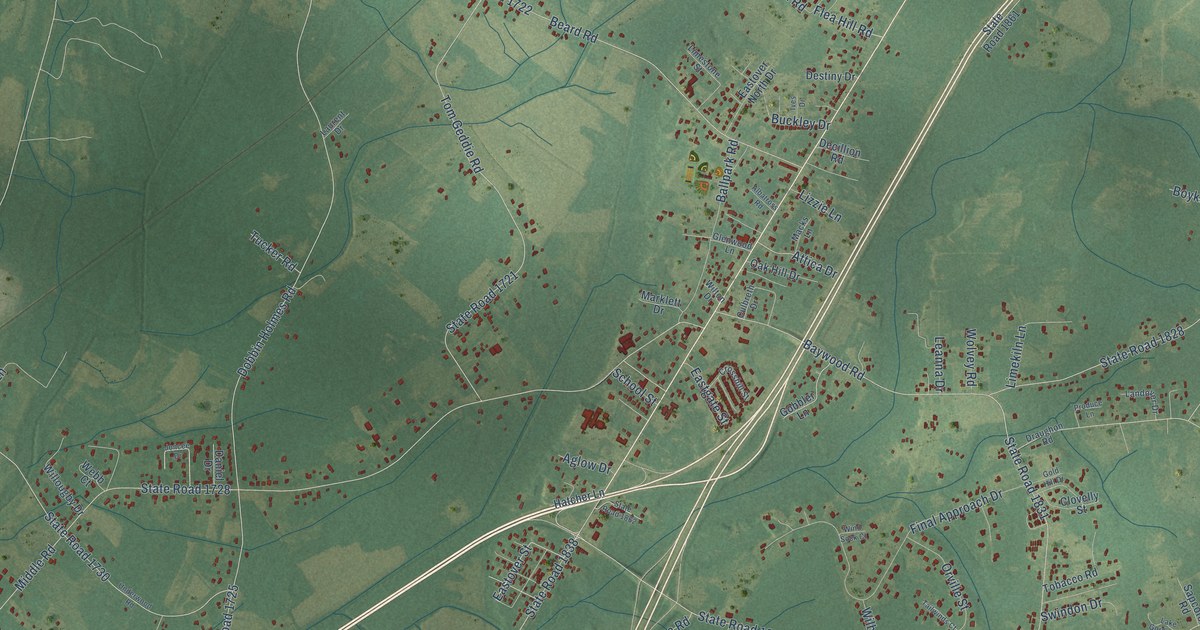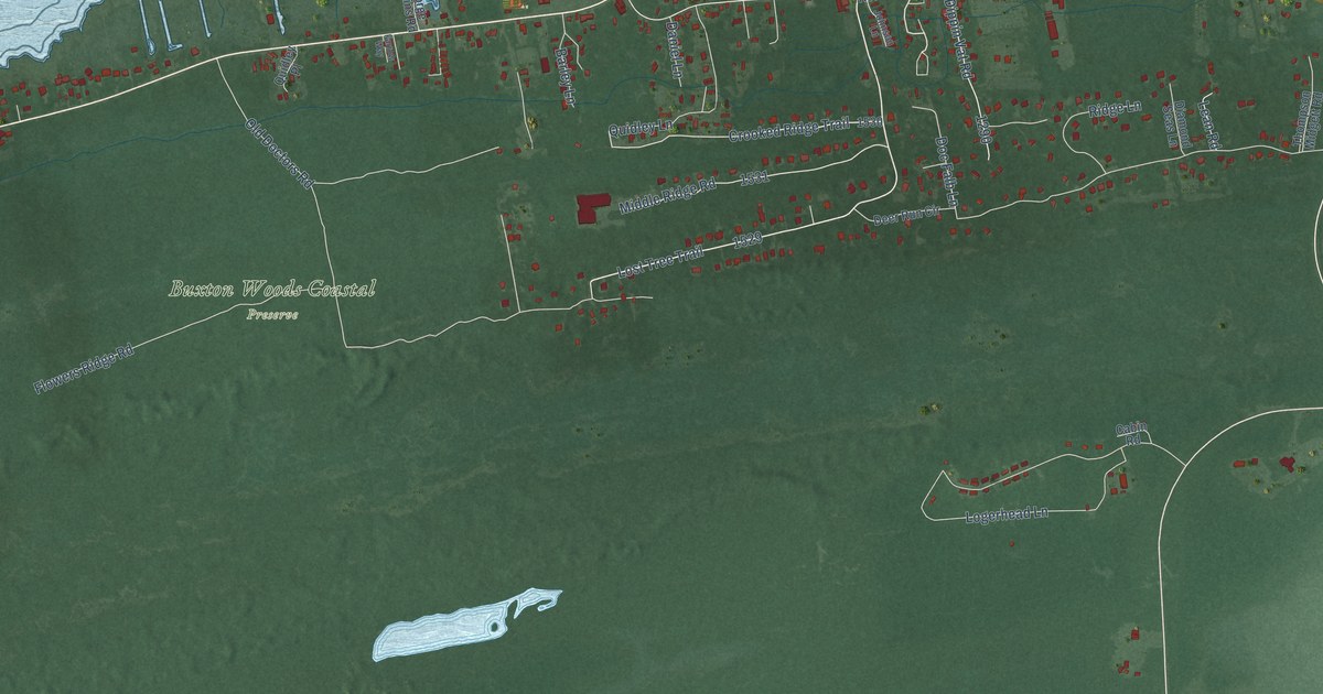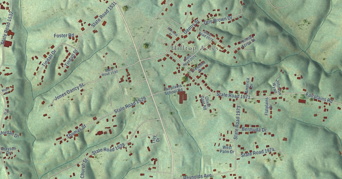
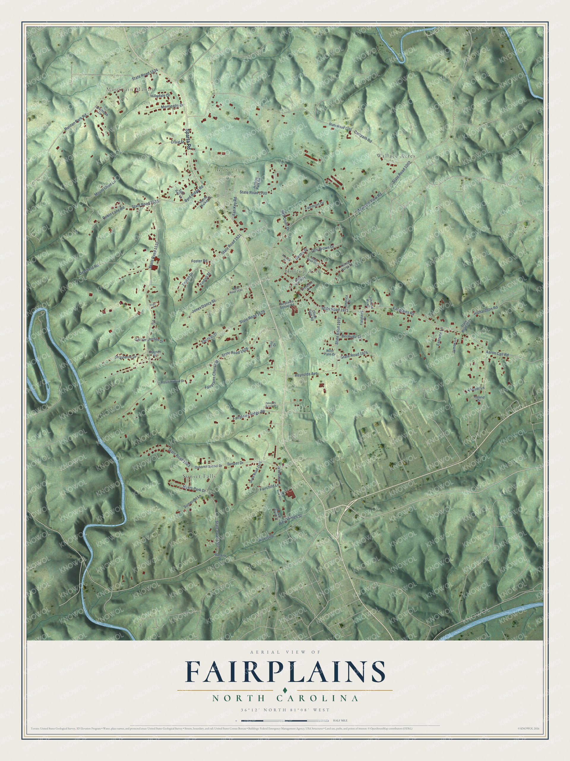
This beautifully detailed map of Fairplains, North Carolina was created in 2026 using aerial imagery combined with modern topographical, census, street and landmark data. It's a modern aerial view of Fairplains in Wilkes County, North Carolina, that combines modern data with a vintage aesthetic. The roads feature printed names, and if you look closely you can find your exact house accurately shown in its correct location.
Explore an aerial view of Fairplains, North Carolina
On this map you'll find Mountain Manor, Mountlawn Memorial Park, Sunset Falls, Wallace Acres, Hilltop Acres, Sparta Road, Fairplains Road, State Road 1971, State Road 1528, Sunset Drive, State Road 1523, Cartpath Road, and more. Each red shape is a building, so zoom in on the preview and look for yours.
Fairplains is a community in Wilkes County. The Census Bureau counted 2,029 people here in 2020. Fairplains sits about 2 miles northwest of North Wilkesboro, 2 miles south of Mulberry and 3 miles northeast of Cricket. The map prints the town name in its title panel, with the coordinates below it.
Take a closer look at the Fairplains map
Names on this map
These names are printed on this map.
Places: Mountain Manor, Mountlawn Memorial Park, Sunset Falls, Wallace Acres and Hilltop Acres.
Streets and roads: Sparta Road, Fairplains Road, State Road 1971, State Road 1528, Sunset Drive, State Road 1523, Cartpath Road, Byrd Ridge Road, State Road 1532, State Road 1517, Mountain View Road, State Road 1002.
More street names, A to Z
Aaron Call Road, America Drive, Bell Court Drive, Bermuda Drive, Blairfield Court, Browns Waugh Street, Carl Drive, Craig Street, Crescent Drive, Deerfield Road, Duncan Street, Everette Lane, Fairchild Lane, Fairmont Drive, Fairplains Church Street, Fairplains Ridge Road, Fairplains School Road, Fan Key Road, Flatplains Drive, Foster Road, Gentry Street, Gilreath Brook Street, Grayson Drive, Hackett Street, Hall Street, Handy Walker Street, Hillsdale Drive, Hilltop Acres Street, James Lane, Jenkins Park Road, Johnson Wyatt, Jones Dancy Street, Jordan Drive, Kramer Lane, Lynnbrook Drive, Maple Drive, Monticello Drive, Mount Olive Lane, Myers Park Drive, Oliver Gant Road, Osborne Sunset Drive, Otis Brown Drive, Reynolds Avenue, Richardson Road, Riverside, Robin Lane Road, Roland Drive, Roten Hollow Drive, Ruritan Park Road, Split Rail Lane, State Road 1524, State Road 1529, State Road 1530, State Road 1531, State Road 1533, State Road 1534, State Road 1576, State Road 1700, State Road 1701, State Road 1973, State Road 1974, State Road 2073, State Road 2074, State Road 2077, Stephanie Drive, Sumerset Lane, Thomas Street, Tindall Drive, Tindall Street, Troy Drive, West Palm Drive, West Waugh Street.
See it on a wall
The Fairplains map as a framed print. Swipe for more.


Created by KNOWOL in 2026. The buildings are small red shapes, the roads carry their printed names, and shaded relief shows the shape of the land. The title panel reads "AERIAL VIEW OF FAIRPLAINS, NORTH CAROLINA" with 36°12' NORTH 81°08' WEST.
It looks right in a kitchen, an office or a den, and it's a gift for anyone who grew up in Fairplains or moved away. Open the preview and find your street. See sizes and frames for the Fairplains map.