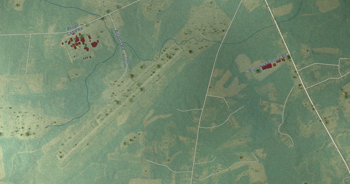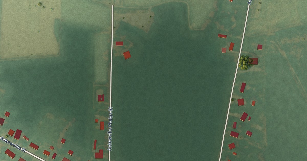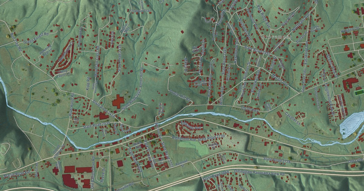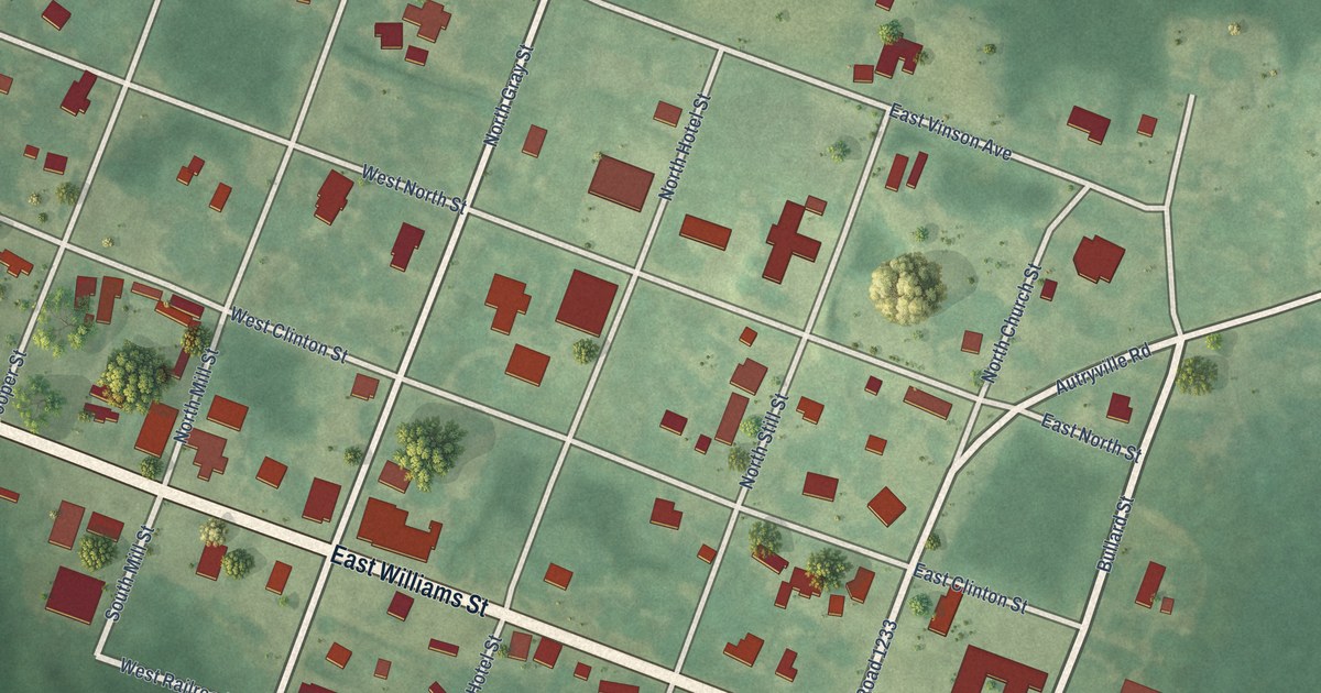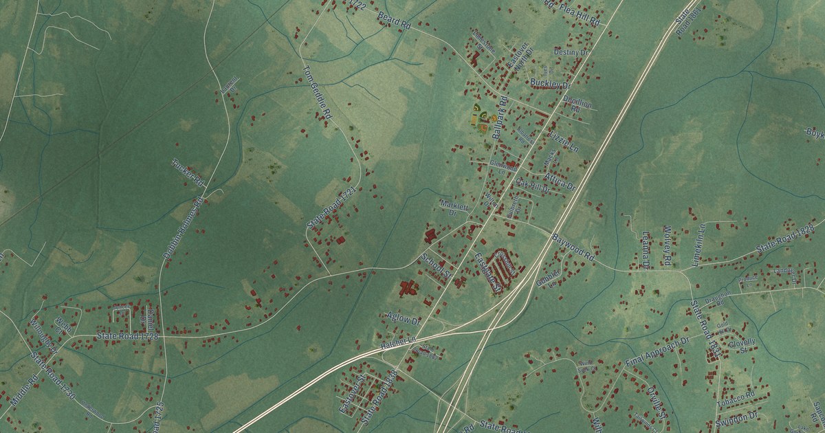
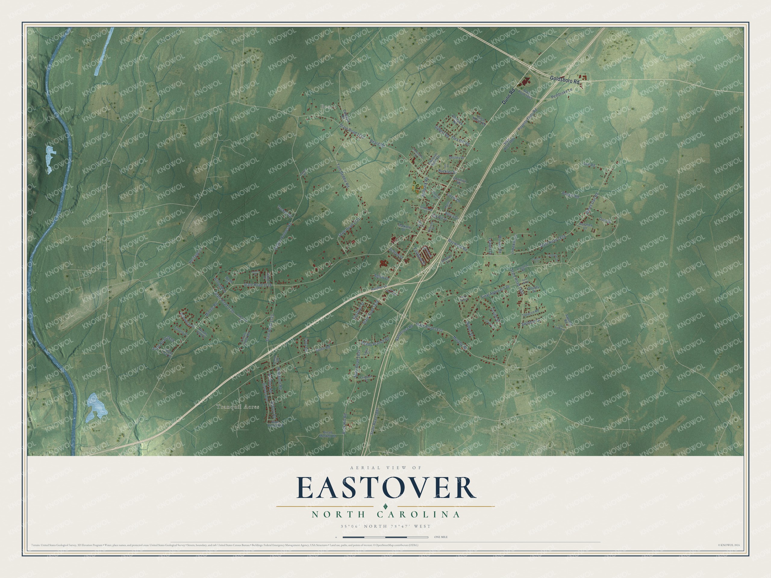
This beautifully detailed map of Eastover, North Carolina was created in 2026 using aerial imagery combined with modern topographical, census, street and landmark data. It's a modern aerial view of Eastover in Cumberland County, North Carolina, that combines modern data with a vintage aesthetic. The roads feature printed names, and if you look closely you can find your exact house accurately shown in its correct location.
Explore an aerial view of Eastover, North Carolina
On this map you'll find Tranquil Acres, Beard, Goldsboro Road, Dunn Road, State Road 1831, Middle Road, State Road 1728, State Road 1828, State Road 1838, Dobbin Holmes Road, State Road 1725, State Road 1721, and more. Each red shape is a building, so zoom in on the preview and look for yours.
Here is a piece of Eastover history, in the words of the record. The Town of Eastover puts it this way: "The Strothers Map of 1808 with data from 1860-1865 civil war era names of towns and such show Mary's Garden in what is now known as Eastover. According to oral history accounts, when Scots-Irish settlers in the upper Cape Fear River basin named Mary's Garden, the area was named facetiously because the soil was very poor and produced very little in crops."
Eastover is a town in Cumberland County. The Census Bureau counted 3,656 people here in 2020.
Take a closer look at the Eastover map
Names on this map
These names are printed on this map.
Places: Tranquil Acres and Beard.
Streets and roads: Goldsboro Road, Dunn Road, State Road 1831, Middle Road, State Road 1728, State Road 1828, State Road 1838, Dobbin Holmes Road, State Road 1725, State Road 1721, Baywood Road, Beard Road.
More street names, A to Z
Aglow Drive, Albatross Road, Aquatica Lane, Asbury Road, Ashbury Road, Attica Drive, Ballpark Road, Bee Hive Drive, Boykin Road, Broad Muskeg Road, Buckley Drive, Clovelly Street, Coleman Road, Cory Circle, Crosshill Street, Culbreth Drive, Daniel Drive, Decillion Road, Destiny Drive, Draughon Road, Eastgate Street, Eastover North Drive, Eastover Street, Emma Court, Fairgrove Court, Final Approach Drive, Flea Hill Road, Furlong Place, Gilbert Road, Glenwick Road, Glenwood Lane, Gobbler Lane, Gold Hill Drive, Hatcher Lane, Heritage Lane, Ives Drive, James Dail Road, Jimree Avenue, Joncee Drive, Lake Gordon Drive, Landover Drive, Laurent Drive, Leanna Drive, Lee Road, Limekiln Lane, Limestone Street, Lizzie Lane, Macks Lane, Marklett Drive, Murphy Road, Oak Hill Drive, Orville Street, Ozie Drive, Pembroke Lane, Poverty Flats Road, Produce Lane, Reedy Branch Road, Ringwood Road, Rock Hill Road, Sanderosa Road, Sapcote Road, School Street, Silver Leaf Drive, State Road 1722, State Road 1730, State Road 1832, State Road 1835, State Road 1861, State Road 1862, State Road 1863, State Road 1872, State Road 1887, State Road 2819, Swindon Drive, Tailwinds Court, Terrals Creek Road, Tobacco Road, Tom Geddie Road, Tucker Road, Underwood Road, Vance Melvin Road, Webb Court, Wilbur Street, Willougby Drive, Willowbrae Drive, Wilton Drive, Wind Sock Court, Wolvey Road, Woods End Drive.
Created by KNOWOL in 2026. The buildings are small red shapes, the roads carry their printed names, and shaded relief shows the shape of the land. The title panel reads "AERIAL VIEW OF EASTOVER NORTH CAROLINA" with 35°06' NORTH 78°47' WEST.
It suits a den, a classroom or a front hall, and it makes a gift for anyone with Eastover roots. Open the preview and find the block you know. See sizes and frames for the Eastover map.