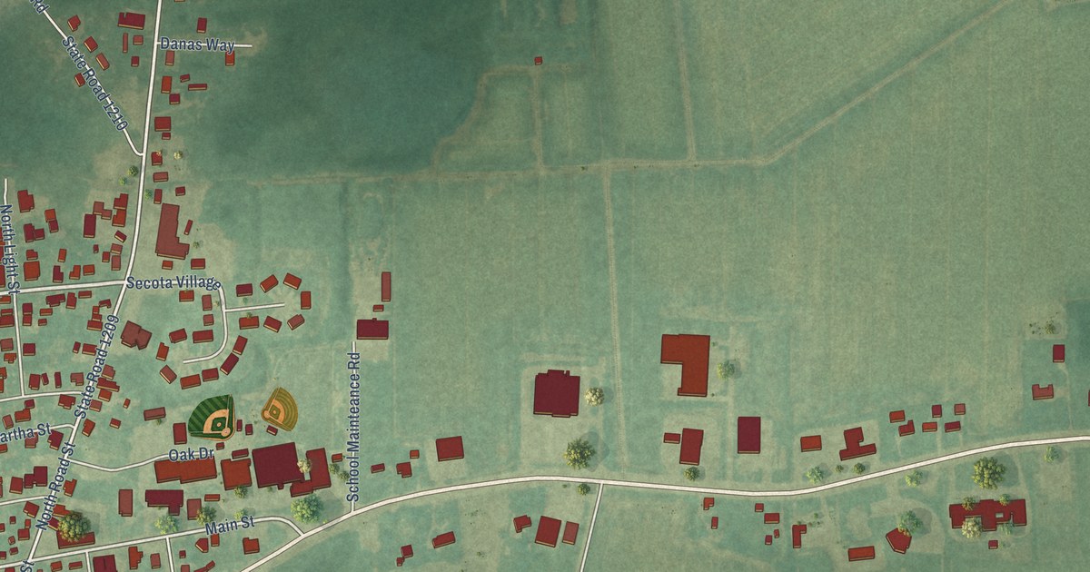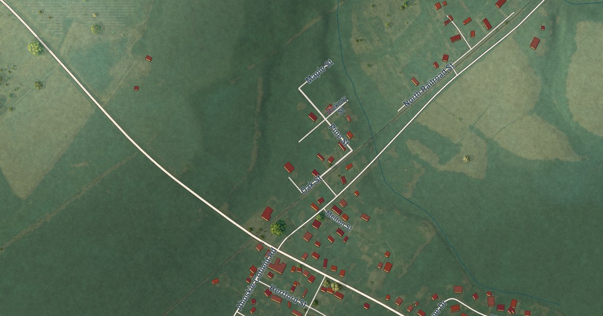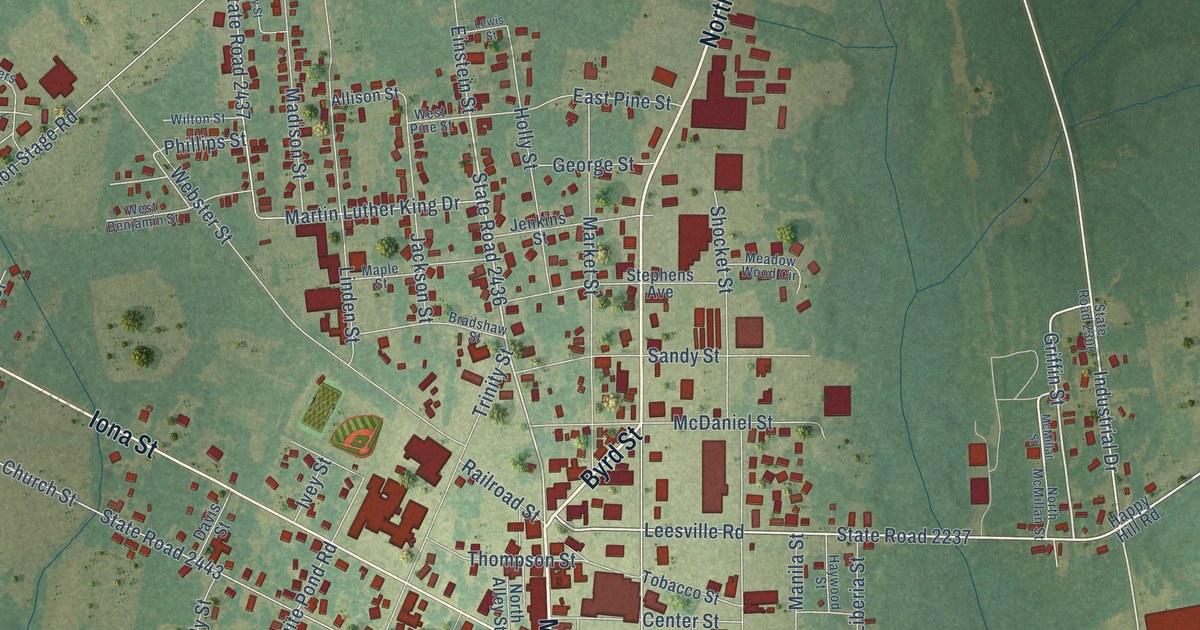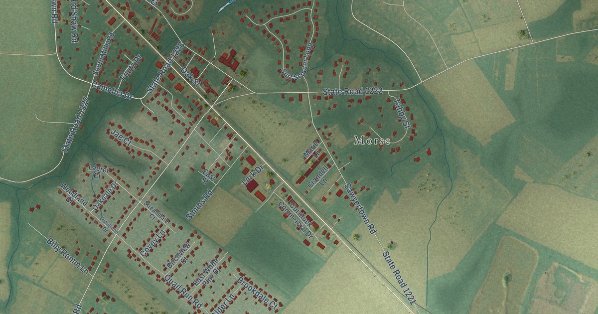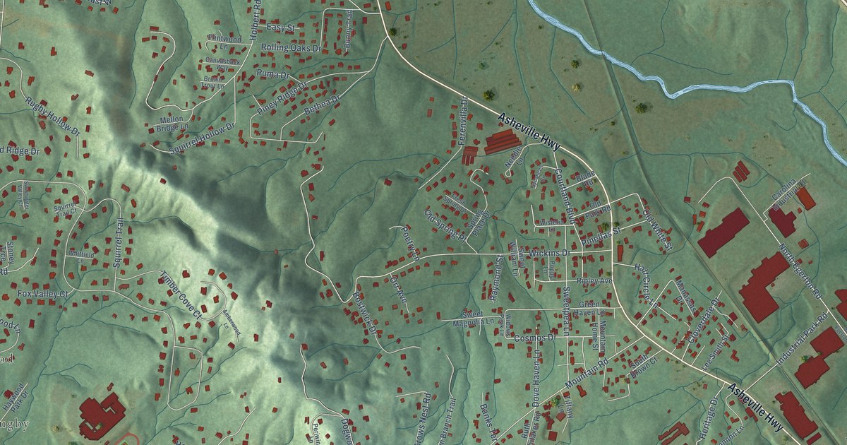
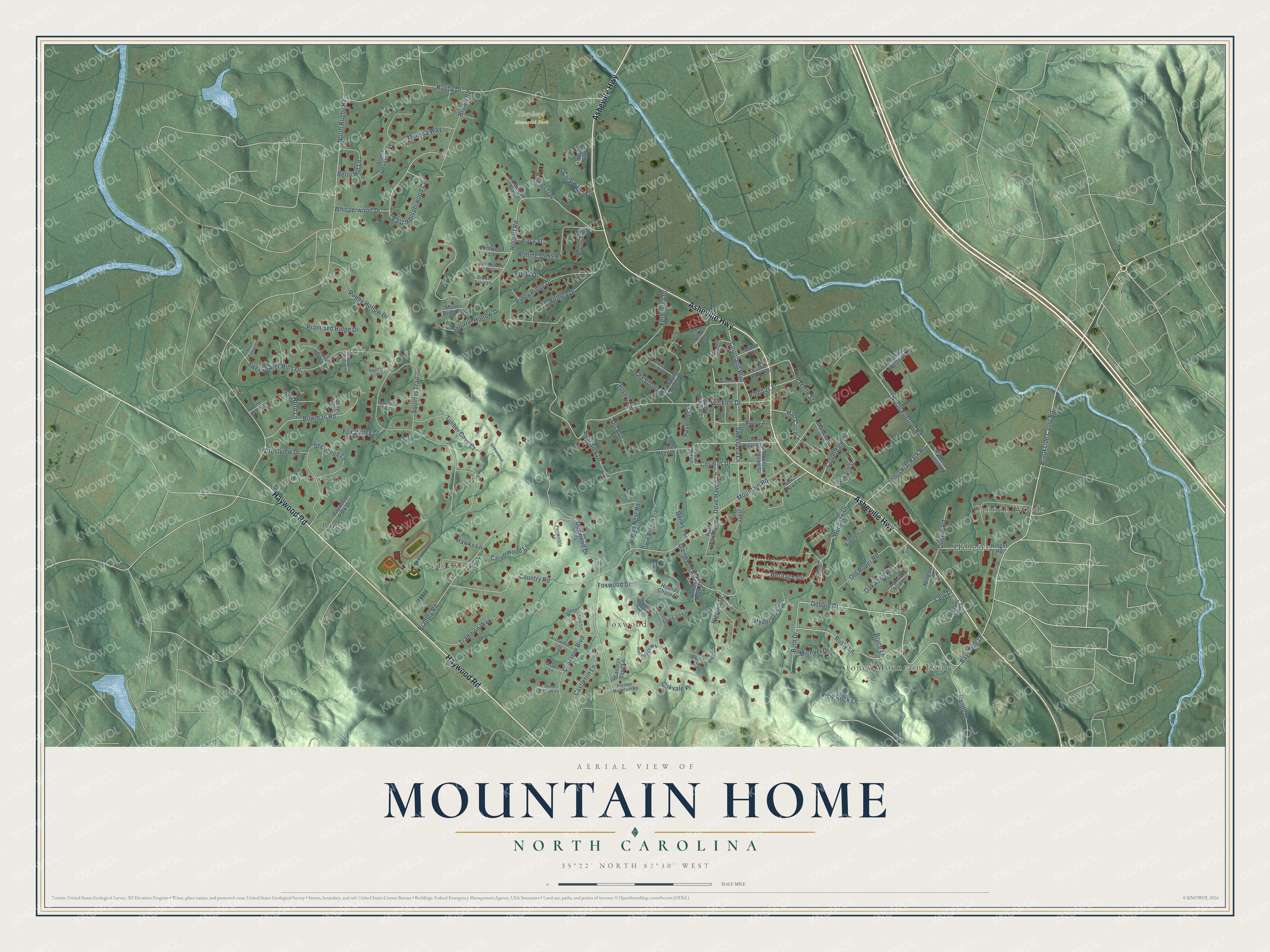
This beautifully detailed map of Mountain Home, North Carolina was created in 2026 using aerial imagery combined with modern topographical, census, street and landmark data. It's a modern aerial view of Mountain Home in Henderson County, North Carolina, that combines modern data with a vintage aesthetic. The roads feature printed names, and if you look closely you can find your exact house accurately shown in its correct location.
Explore an aerial view of Mountain Home, North Carolina
On this map you'll find Shepherd Memorial Park, Rugby, Stoney Mountain Estate, Cannon Woods, Foxwood, Sedgewood, Hillgirt, Crestwood, Asheville Highway, Haywood Road, Brookside Camp Road, Debbie Drive, and more. Each red shape is a building, so zoom in on the preview and look for yours.
Every town has a first chapter, and Mountain Home is no exception. Oliver H. Moss came from South Carolina hoping to grow tobacco, and local builder Riley Barnett finished his brick farmhouse in 1880 with bricks made on the site from French Broad River clay. After the tobacco boom faded, the Johnson family ran the farm as a boarding house for summer tourists from about 1913 until 1958. Vernon and Leander Johnson later gave the land to the Henderson County Board of Education for use as a farm museum. That's from the North Carolina Historic Preservation Office.
Mountain Home is a community in Henderson County. The Census Bureau counted 3,490 people here in 2020. Mountain Home sits about 4 miles north of Laurel Park, 4 miles northwest of Hendersonville and 4 miles northeast of Horse Shoe. The map prints the town name in its title panel, with the coordinates below it.
Take a closer look at the Mountain Home map
Names on this map
These names are printed on this map.
Places: Shepherd Memorial Park, Rugby, Stoney Mountain Estate, Cannon Woods, Foxwood, Sedgewood, Hillgirt and Crestwood.
Streets and roads: Asheville Highway, Haywood Road, Brookside Camp Road, Debbie Drive, Sweetwater Hills Drive, North Rugby Road, Mountain Road, Wickins Drive, Holbert Road, Baystone Drive, Rugby Drive, Heritage Circle.
More street names, A to Z
Amber Jean Drive, Amberwood Lane, Arrowood Lane, Aspen Lane, Banks Terrace, Bass Lane, Berry Hill Lane, Beth Drive, Bethea Drive, Blade Road, Bostwick Drive, Bowman Road, Bradley Road, Brown Road, Brown Trout Lane, Bruce Lane, Bunny Trail, Canarys Song Lane, Canvasback Way, Carolina Industrial Court, Carverwood Lane, Castleton Lane, Cely Drive, Cherry Blossom Lane, Cimarron Boulevard, Clearwater Lane, Cloverdale Drive, Coon Branch Trail, Cosmos Drive, Country Road, Courtland Boulevard, Crestview Drive, Crooked Oak Court, Crows Nest Road, Dogwood Drive, Dogwood Trail, Dove Haven Lane, Dunlap Road, East Whisperwood Circle, Easy Street, Ferenvilla Drive, Flintwood Lane, Fox Lair Lane, Fox Valley Court, Foxwood Drive, Fresh Spring Drive, Glenwood Road, Green Haven Lane, Half Circle Lane, Hawks Lane, Haywood Park Drive, Heritage Drive, Higgins Drive, Hillgirt Road, Hounds Chase Drive, Hounds Trail, Hyder View Drive, Industrial Park Road, Jordans Park Lane, Lee Smith Street, Manassas Drive, Melissa Way, Mellon Bridge Lane, Michael Drive, Millgate Lane, Moore Hill Lane, Mountain Home Street, Needle Lane, North Classic Court, North Egerton Road, Oakvale Place, Oakwood Road, Old Park Road, Old Roper Road, Old Spring Place, Old Wagon Trail, Old White Street, One Penny Drive, Orr Avenue, Periwinkle Lane, Pinellas Street, Piney Ridge Drive, Pioneer Mountain Road, Poetry Lane, Poppy Lane, Promised Ridge Drive, Puma Drive, Randy Drive, Raymond Street, Red Bird Lane, Riannon Lane, Ripley Avenue, Rockmoor Way, Rolling Oaks Drive, Rugby Hollow Drive, Rusty Lane, Ruth Whitaker Road, Sherwood Lane, South Brown Court, South Egerton Road, South Heritage Drive, South Melissa Way, Spring Place Drive, Squirrel Hollow Drive, Squirrel Trail, Squirrel Trail Court, Stoney Trce, Sweet Magnolia Lane, Sweetpea Lane, Sweetwater Valley Court, Sweet William Lane, Sycamore Circle, Tanglewood Acres Drive, Tiffany Lane, Timber Cove Court, Tradition Way, View Rock Lane, Whisperwood Drive, White Cedar Lane, Whitfield Lane, Widows Peak Lane, Wisteria Lane.
See it on a wall
The Mountain Home map as a framed print. Swipe for more.


Created by KNOWOL in 2026. The buildings are small red shapes, the roads carry their printed names, and shaded relief shows the shape of the land. The title panel reads "AERIAL VIEW OF MOUNTAIN HOME, NORTH CAROLINA" with 35°22' NORTH 82°30' WEST.
Hang it in the hallway, the office or the cabin, or give it to someone who left Mountain Home and still calls it home. Open the preview and look for a street you know. See sizes and frames for the Mountain Home map.