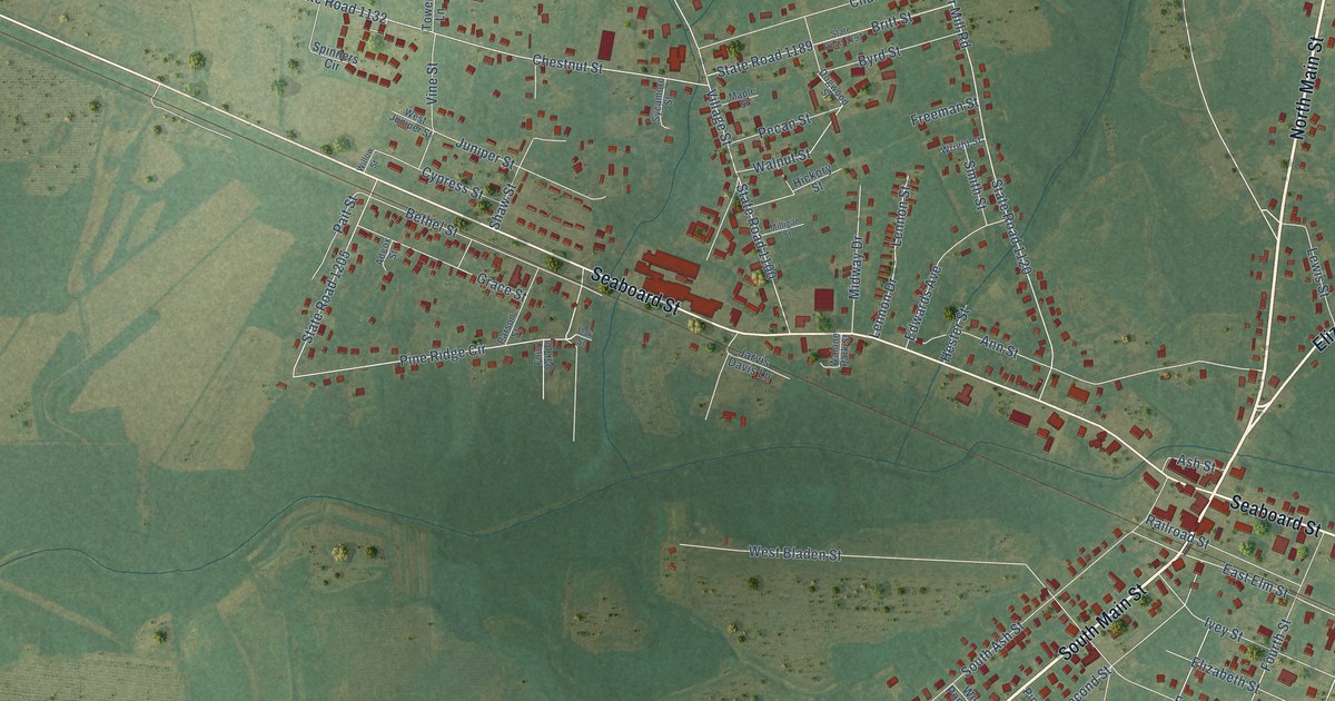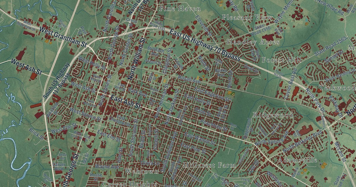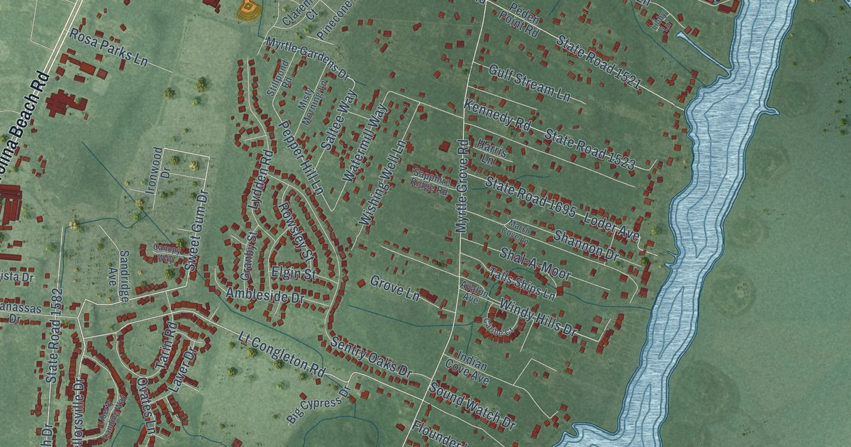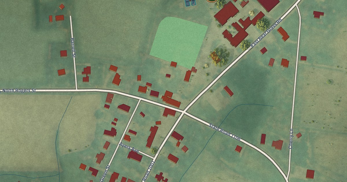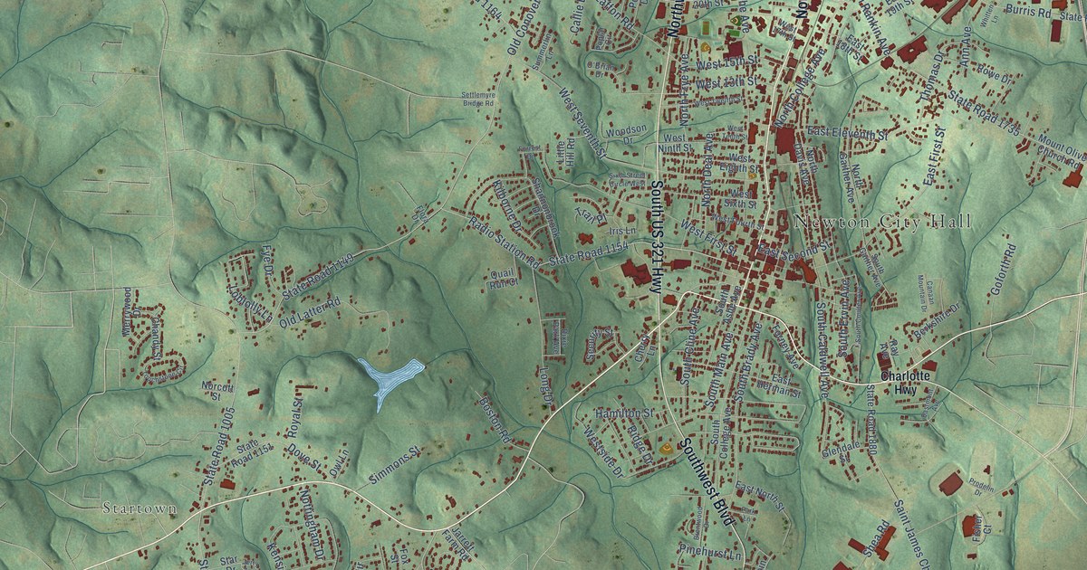
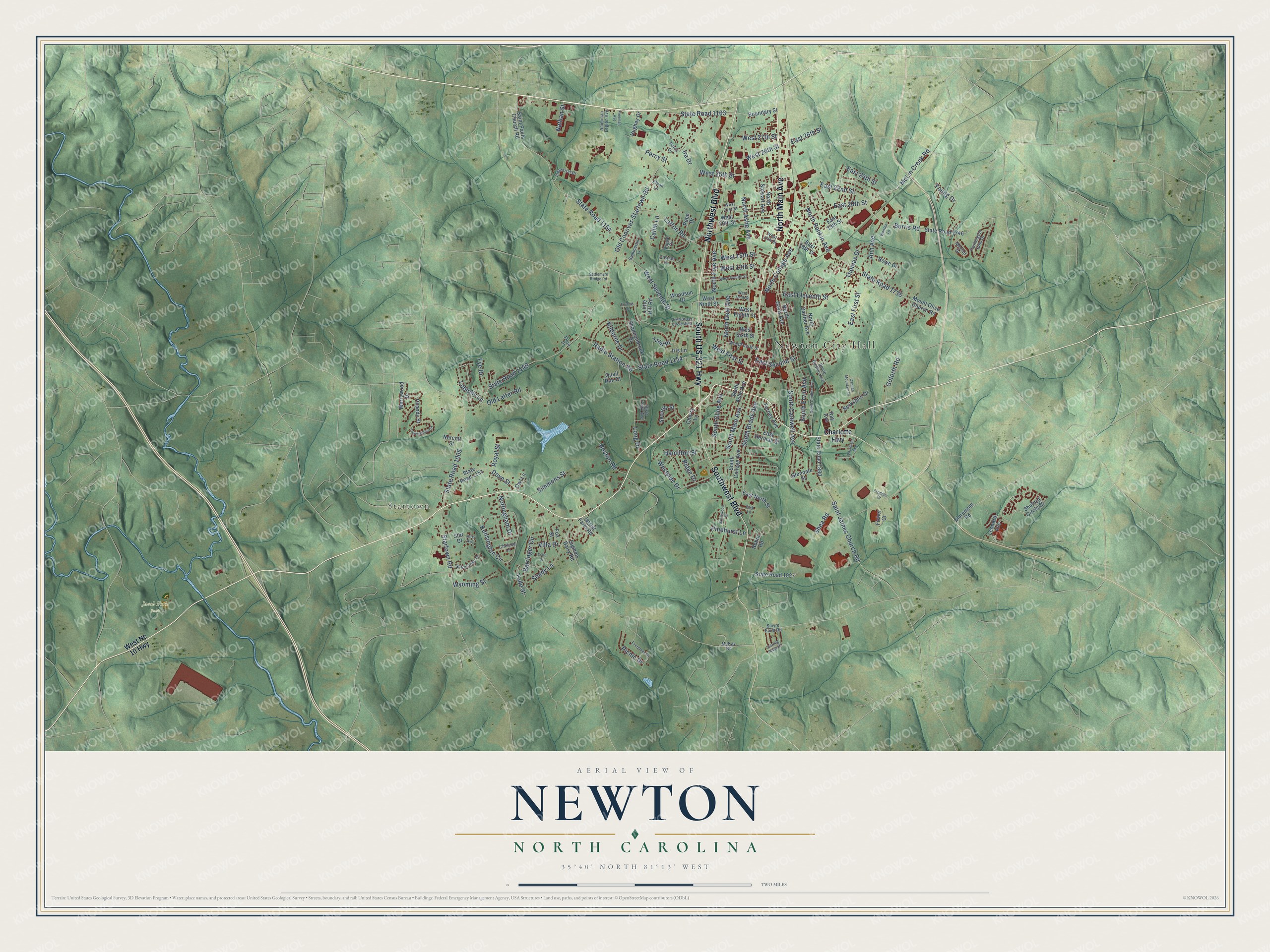
This beautifully detailed map of Newton, North Carolina was created in 2026 using aerial imagery combined with modern topographical, census, street and landmark data. It's a modern aerial view of Newton in Catawba County, North Carolina, that combines modern data with a vintage aesthetic. The roads feature printed names, and if you look closely you can find your exact house accurately shown in its correct location.
Explore an aerial view of Newton, North Carolina
On this map you'll find Newton City Hall, Startown, Jacob Fork Park, North Main Avenue, Northwest Boulevard, South US 321 Highway, Southwest Boulevard, McLin Creek Road, East 20th Street, West Seventh Street, State Road 1163, Old Conover-Startown Road, and more. Each red shape is a building, so zoom in on the preview and look for yours.
Every town has a first chapter, and Newton is no exception. The record at dncr.nc.gov puts it this way: "One of his principal achievements was his involvement in the creation of Catawba College in Newton through his activity within the Reformed Church."
Newton is a city in Catawba County. The Census Bureau counted 13,148 people here in 2020.
Take a closer look at the Newton map
Names on this map
These names are printed on this map.
Places: Newton City Hall, Startown and Jacob Fork Park.
Streets and roads: North Main Avenue, Northwest Boulevard, South US 321 Highway, Southwest Boulevard, McLin Creek Road, East 20th Street, West Seventh Street, State Road 1163, Old Conover-Startown Road, State Road 1149, North Ashe Avenue, North College Avenue.
More street names, A to Z
American Legion Avenue, Ann Avenue, Barringer Circle, Berkshire Drive, Boston Road, Boundary Street, Brentwood Drive, Burris Road, Callie Lane, Canaan Mountain Drive, Chandy Street, Charlotte Highway, Chelesa Lane, Cherry Lane, Claremont Road, Dixie Park Avenue, Dove Street, East 18th Street, East 19th Street, East 22nd Street, East 24th Street, East 26th Street, East Eleventh Street, East First Street, East Herman Street, Eastmont Avenue, East North Street, East Second Street, Echo Drive, Ethan Lane, Evergreen Drive, Farmington Hills Drive, Fisher Court, Flora Drive, Forney Avenue, Forrest Drive, Fox Street, Freeman Avenue, Fye Drive, Glendale Street, Goforth Road, Hamilton Street, Hughey Drive, Industrial Drive, Ira Drive, Iris Lane, Jarrett Farm Road, Jerry Avenue, Kensington Circle, Kilborne Drive, Laffon Road, Leonard Avenue, Little Hill Road, Loblolly Lane, Long Drive, Mayfair Drive, McKay Road, Merrywood Drive, Mount Olive Church Road, Nathan Street, Norcott Street, North Davis Avenue, North Deal Avenue, North Frye Avenue, North Gaither Avenue, North Rankin Avenue, North Stewart Avenue, Nottingham Drive, O'Brian Drive, Old Latter Road, Owl Lane, Park Lane, Percy Drive, Percy Street, Picnic Drive, Pinehurst Lane, Pope Drive, Poplar Circle, Prodelin Drive, Quail Run Court, Radio Station Road, Ray Avenue, Ridge Drive, Robin Road, Rowe Drive, Royal Street, Saint James Church Road, Saint Pauls Church Road, Security Street, Settlemyre Bridge Road, Shady Lane, Shannonbrook Drive, Shea Road, Shuford Circle Drive, Sigmon Dairy Road, Simmons Street, Sixth Street Circle West, Smyre Farm Road, South Ashe Avenue, South Brady Avenue, South Caldwell Avenue, South Cline Avenue, South College Avenue, South Coulter Avenue, South Ervin Avenue, South Gaither Avenue, South Main Avenue, Starbrooke Drive, Star Drive, Startown Road, State Road 1005, State Road 1151, State Road 1154, State Road 1164, State Road 1735, State Road 1746, State Road 1880, State Road 1927, Sterling Ridge Drive, Summerlin Lane, Thomas Drive, Todd Street, Touchstone Circle, Trail Place, Villa Drive, West 13th Street, West 15th Street, West 17th Street, West 20th Street, West 21st Street, West 25th Street, West 26th Street, West 27th Street, West Eighth Street, West First Street, West Fourth Street, West Nc 10 Highway, West Ninth Street, Westside Drive, West Sixth Street, West Tenth Street, West Twelfth Street, Whitten Lane, Woodson Drive, Wyoming Street, Young Drive.
Created by KNOWOL in 2026. The buildings are small red shapes, the roads carry their printed names, and shaded relief shows the shape of the land. The title panel reads "AERIAL VIEW OF NEWTON NORTH CAROLINA" with 35°40' NORTH 81°13' WEST.
Hang it in the hallway, the office or the cabin, or give it to someone who left Newton and still calls it home. Open the preview and look for a street you know. See sizes and frames for the Newton map.