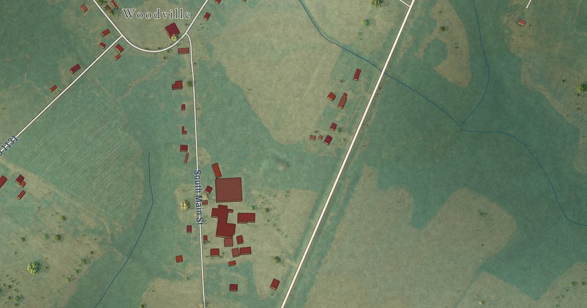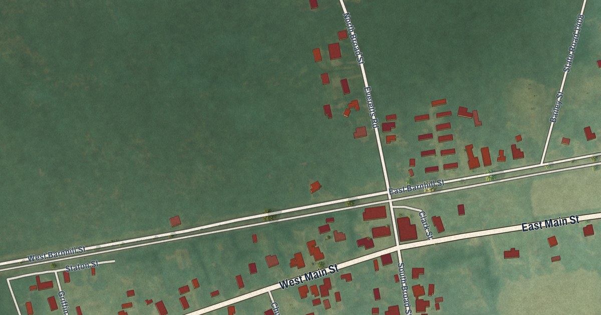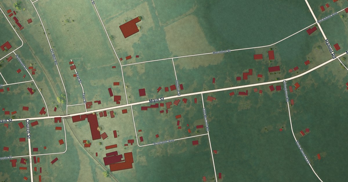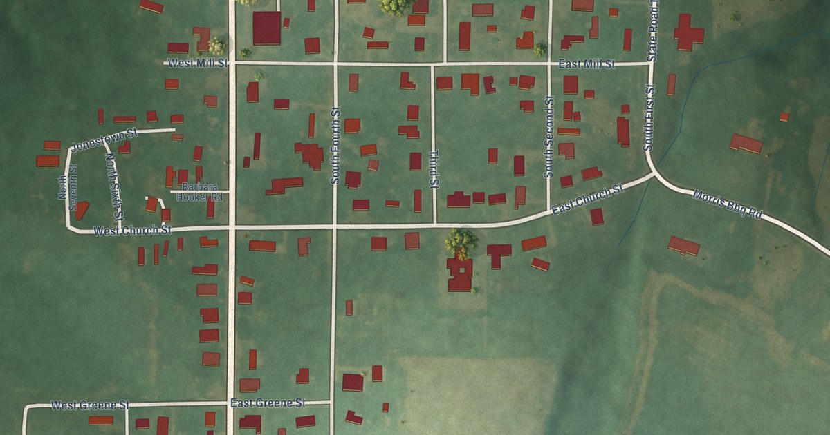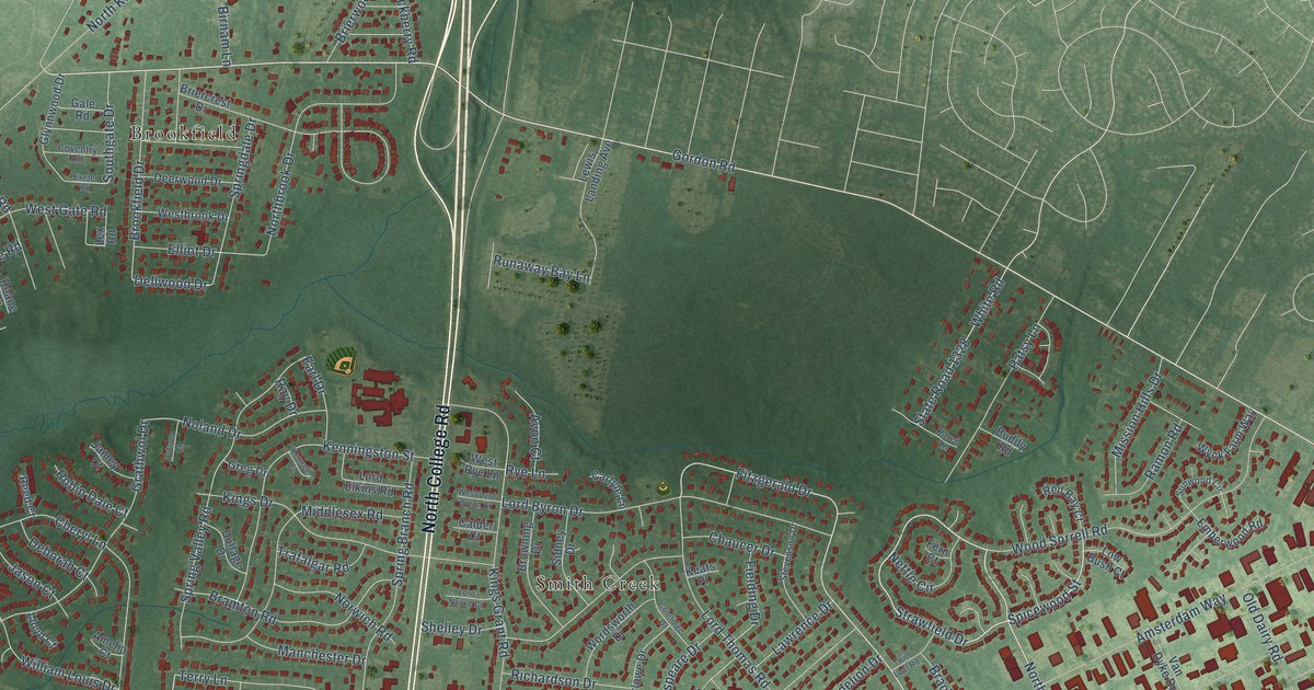
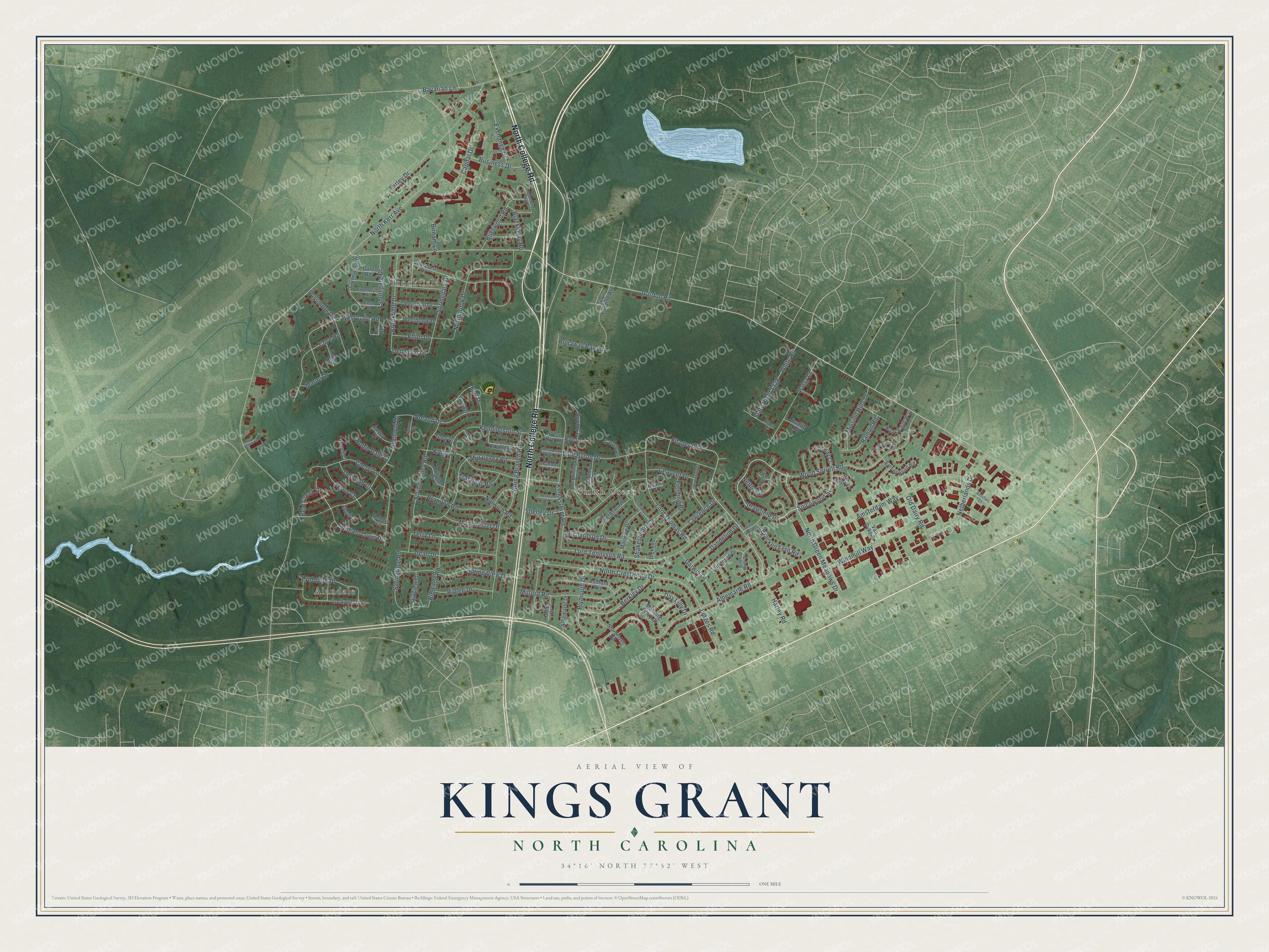
This beautifully detailed map of Kings Grant, North Carolina was created in 2026 using aerial imagery combined with modern topographical, census, street and landmark data. It's a modern aerial view of Kings Grant in New Hanover County, North Carolina, that combines modern data with a vintage aesthetic. The roads feature printed names, and if you look closely you can find your exact house accurately shown in its correct location.
Explore an aerial view of Kings Grant, North Carolina
On this map you'll find Alandale, Brookfield, Smith Creek, North College Road, Gordon Road, Strawfield Drive, North Green Meadows Drive, Spicewood Street, Fitzgerald Drive, Albemarle Road, Dellwood Drive, North Kerr Avenue, and more. Each red shape is a building, so zoom in on the preview and look for yours.
Kings Grant is a community in New Hanover County. The Census Bureau counted 8,466 people here in 2020. The map prints the town name in its title panel, with the coordinates below it.
Take a closer look at the Kings Grant map
Names on this map
These names are printed on this map.
Places: Alandale, Brookfield and Smith Creek.
Streets and roads: North College Road, Gordon Road, Strawfield Drive, North Green Meadows Drive, Spicewood Street, Fitzgerald Drive, Albemarle Road, Dellwood Drive, North Kerr Avenue, Farley Drive, North Crestwood Drive, Lord Tennyson Road.
More street names, A to Z
Albemarle Drive, Amelia Court, Amsterdam Way, Antilles Court, Ashford Avenue, Avon Court, Bavarian Lane, Bent Creek Drive, Berkley Drive, Birds Nest Court, Birnam Lane, Blackberry Road, Bracken Fern Road, Bramton Road, Briercrest Drive, Brierwood Road, Brookfield Drive, Browning Drive, Buddy Road, Business Drive, Calder Court, Capital Drive, Carlyle Lane, Chaucer Drive, Cheryl Lane, Coleridge Drive, Coventry Road, Cove Road, Dandelion Drive, Darwin Drive, Day Lilly Drive, Dean Drive, Deborah Court, Deer Creek Lane, Deerwood Drive, Dickens Drive, Dotson Court, Dullage Drive, Earl Drive, Elliot Drive, Emberwood Road, Exchange Drive, Exeter Road, Fern Court, Fielding Drive, Gale Road, Glynnwood Drive, Goldenrod Drive, Grathwol Drive, Greg Drive, Hadley Court, Harley Road, Hillview Drive, Jamey Court, Jason Court, Judges Road, Karen Lane, Keats Place, Kenneth Court, Kenningston Street, Kings Drive, Kings Grant Road, Lawrence Drive, Lewis Landing Avenue, Lex Road, Lloyd Court, Lockwood Drive, Loganberry Road, Lord Byron Drive, Lord Elkins Road, Lord Nance Court, Lord Thomas Road, Low Bush Court, Lynbrook Drive, Manchester Drive, Marlowe Drive, Marne Drive, Middlesex Road, Milford Road, Mission Hills Drive, Morning Glory Court, Netherlands Drive, Nettle Circle, Noland Drive, Northbrook Drive, Norwich Road, Old Dairy Road, Patsy Lane, Plymouth Drive, Ramon Road, Ray Drive, Red Bay Court, Reed Court, Richardson Drive, Riplee Drive, Ripwood Road, Roane Drive, Robin Dale Court, Rossmore Road, Runaway Bay Lane, Rye Lane, Shakespeare Drive, Shelley Drive, Sidney Drive, Southgate Drive, Spring Branch Road, Springdale Drive, Springtime Road, Spring Valley Road, Spring View Drive, State Road 1328, Stevenson Drive, Sturbridge Road, Sunwood Circle, Terry Lane, Trafalgar Road, Twin Leaf Road, Van Dyke Drive, Westbrook Drive, West Gate Road, West Lord Byron Drive, West Rye Lane, White Road, William Louis Drive, Windmill Way, Wood Sorrell Road, Wordsworth Drive, Wyck Farm Way.
Created by KNOWOL in 2026. The buildings are small red shapes, the roads carry their printed names, and shaded relief shows the shape of the land. The title panel reads "AERIAL VIEW OF KINGS GRANT NORTH CAROLINA" with 34°16' NORTH 77°52' WEST.
Hang it in the hallway, the office or the cabin, or give it to someone who left Kings Grant and still calls it home. Open the preview and look for a street you know. See sizes and frames for the Kings Grant map.