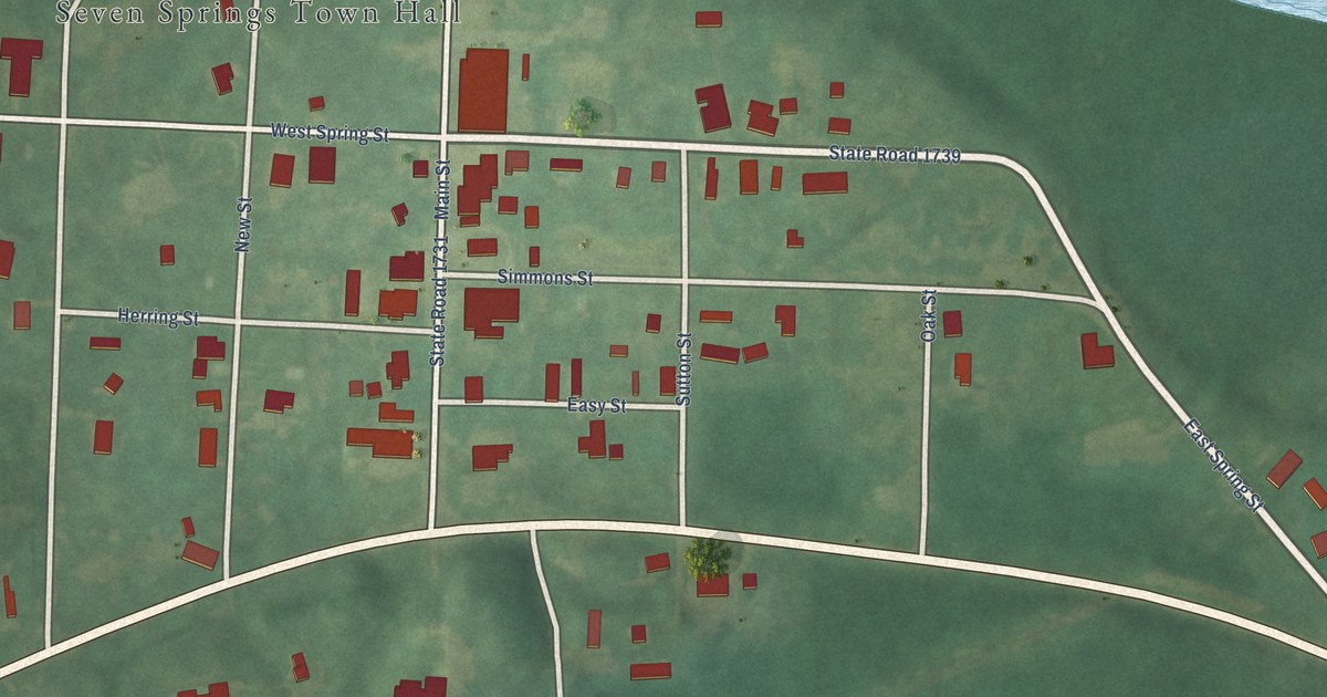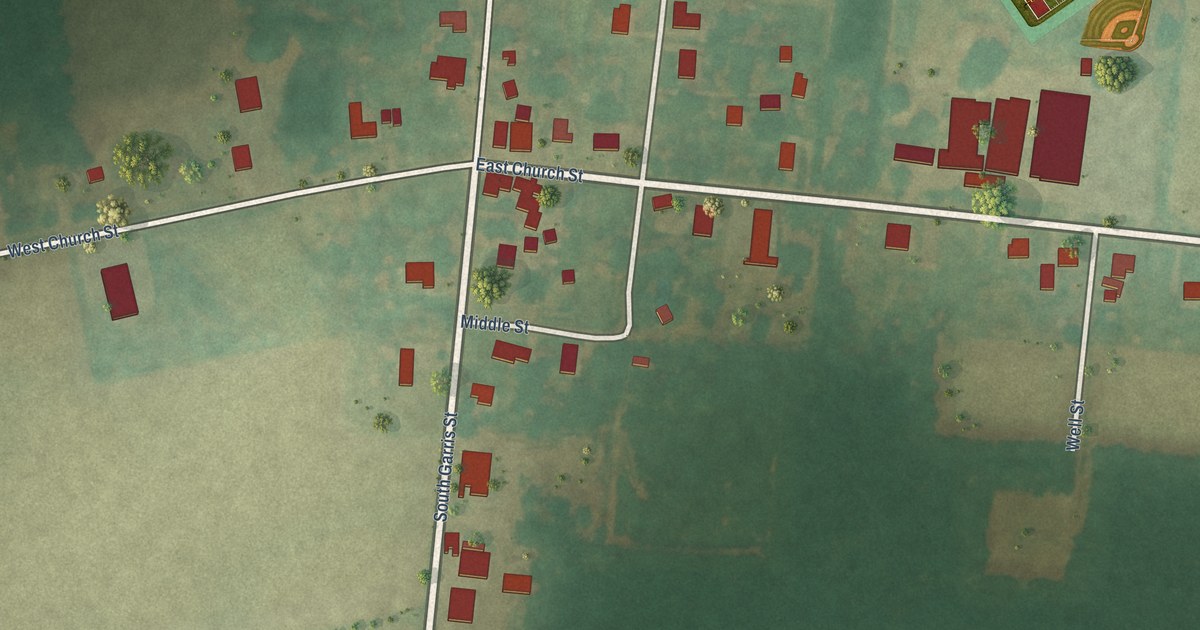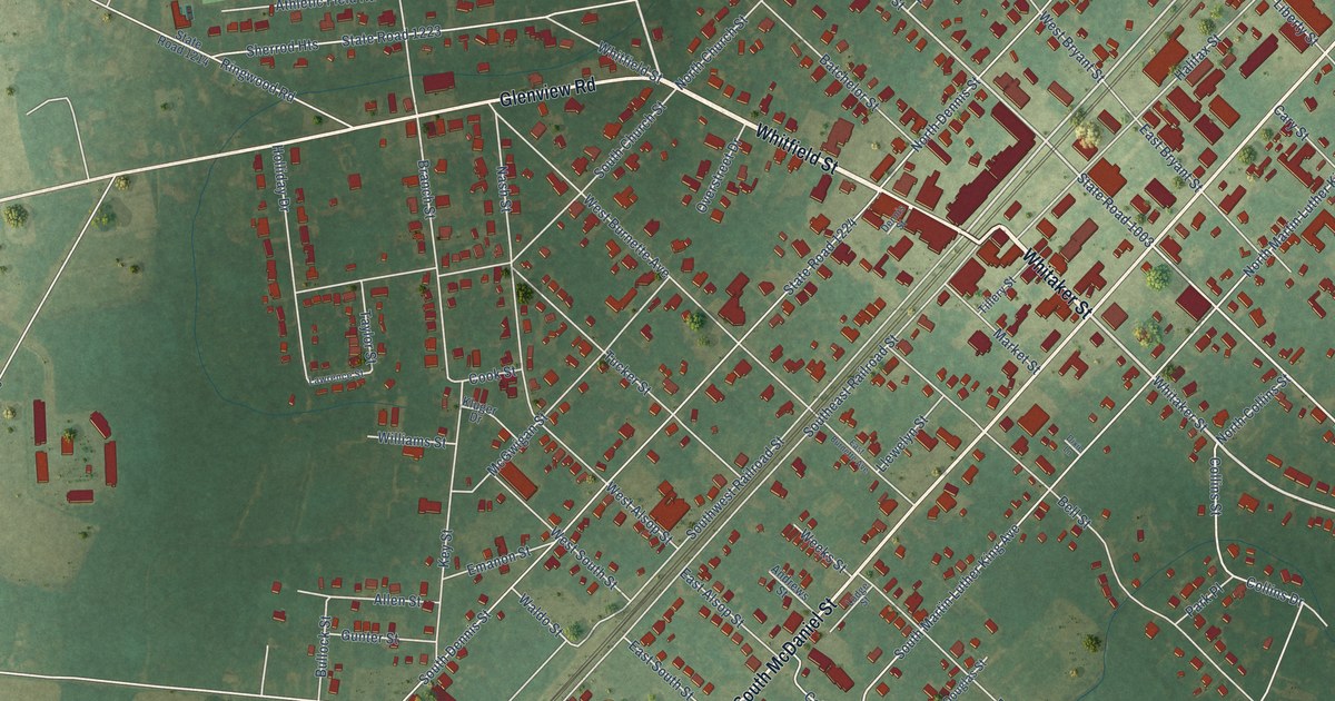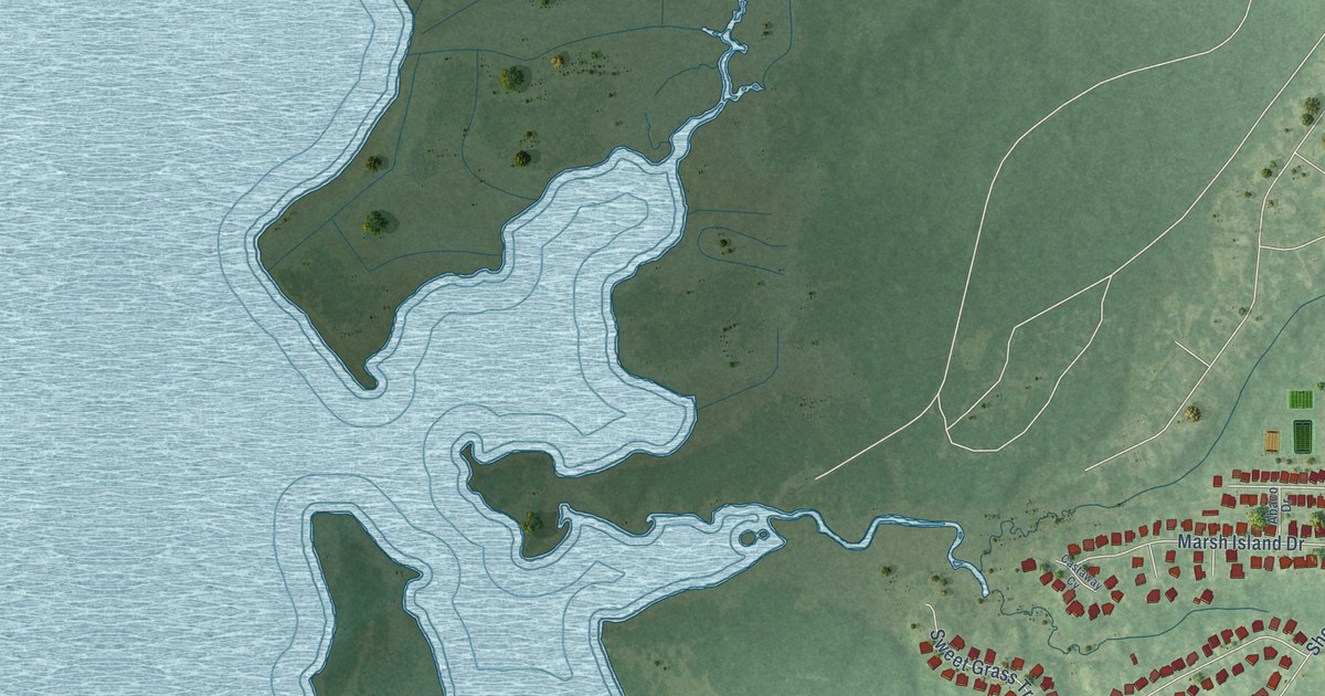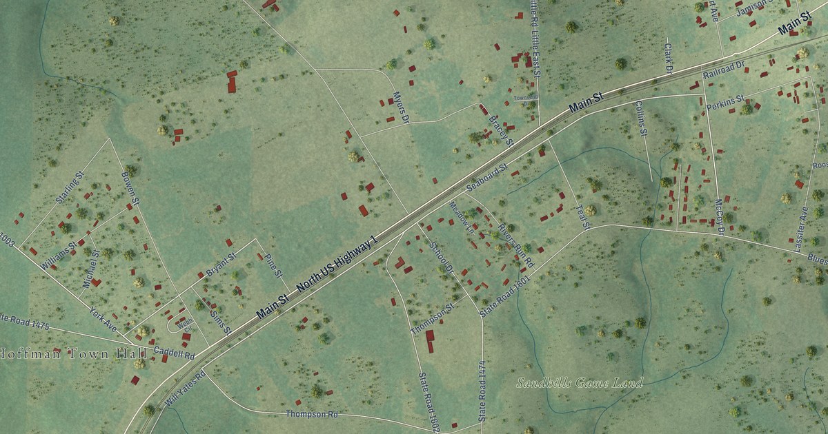
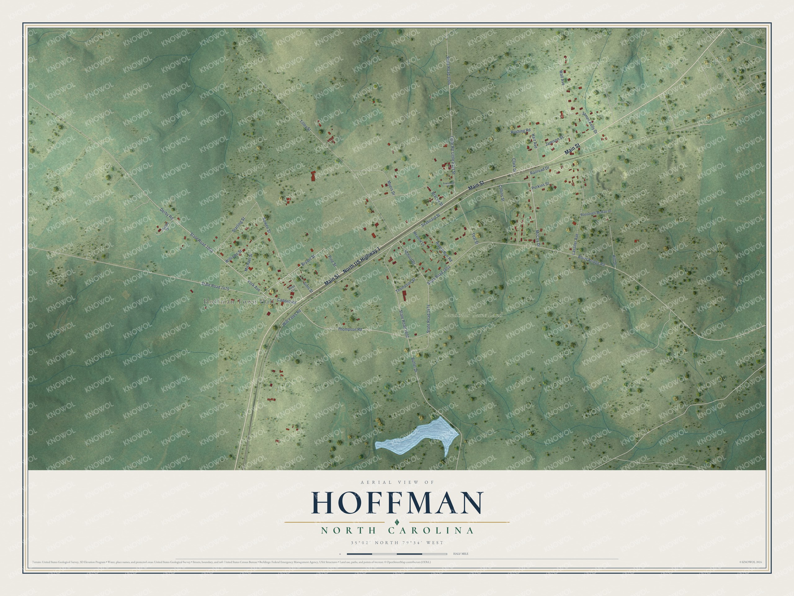
This beautifully detailed map of Hoffman, North Carolina was created in 2026 using aerial imagery combined with modern topographical, census, street and landmark data. It's a modern aerial view of Hoffman in Richmond County, North Carolina, that combines modern data with a vintage aesthetic. The roads feature printed names, and if you look closely you can find your exact house accurately shown in its correct location.
Explore an aerial view of Hoffman, North Carolina
On this map you'll find Hoffman Town Hall, Sandhills Game Land, North US Highway 1, Main Street, Seaboard Street, York Avenue, Bryant Street, Rushing Road, Caddell Road, State Road 1475, Blues Bridge Road, State Road 1601, and more. Each red shape is a building, so zoom in on the preview and look for yours.
Every town has a first chapter, and Hoffman is no exception. The record at dncr.nc.gov puts it this way: "In 1925, during Cameron Morrison’s term as governor, the Cameron Morrison Training School for Negroes was opened on a 700-acre farm in the community of Hoffman in Richmond County."
Hoffman is a town in Richmond County. The Census Bureau counted 418 people here in 2020.
Take a closer look at the Hoffman map
Names on this map
These names are printed on this map.
Places: Hoffman Town Hall and Sandhills Game Land.
Streets and roads: North US Highway 1, Main Street, Seaboard Street, York Avenue, Bryant Street, Rushing Road, Caddell Road, State Road 1475, Blues Bridge Road, State Road 1601, State Road 1602, Little Road.
More street names, A to Z
Bowen Street, Bracey Street, Butler Drive, Clark Drive, Collins Street, Derby Road, Hart Avenue, Hill Drive, James Kelly Drive, Jamison Street, Jasper Drive, Lassiter Avenue, Little East Street, McCoy Drive, Meadow Lane, Michael Street, Myers Drive, Perkins Street, Pine Street, Railroad Drive, Rivers Run Road, Roosevelt McRae Drive, School Drive, Sims Street, Starling Street, State Road 1003, State Road 1004, State Road 1474, Teal Street, Thompson Road, Thompson Street, Tilley Street, Townsend Drive, Wall Avenue, Webb Circle, Williams Street, Will Yates Road.
Created by KNOWOL in 2026. The buildings are small red shapes, the roads carry their printed names, and shaded relief shows the shape of the land. The title panel reads "AERIAL VIEW OF HOFFMAN NORTH CAROLINA" with 35°02' NORTH 79°34' WEST.
Hang it in the hallway, the office or the cabin, or give it to someone who left Hoffman and still calls it home. Open the preview and look for a street you know. See sizes and frames for the Hoffman map.