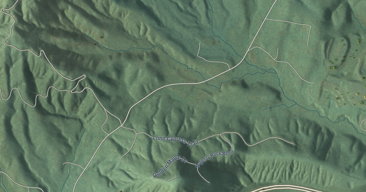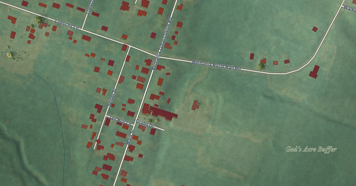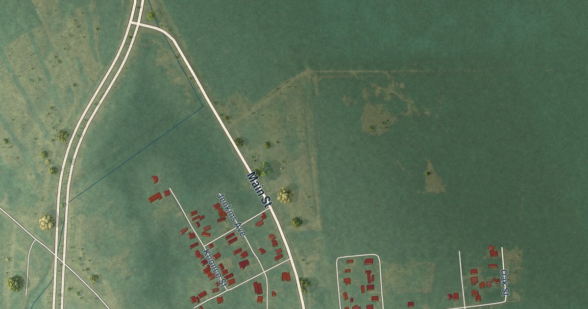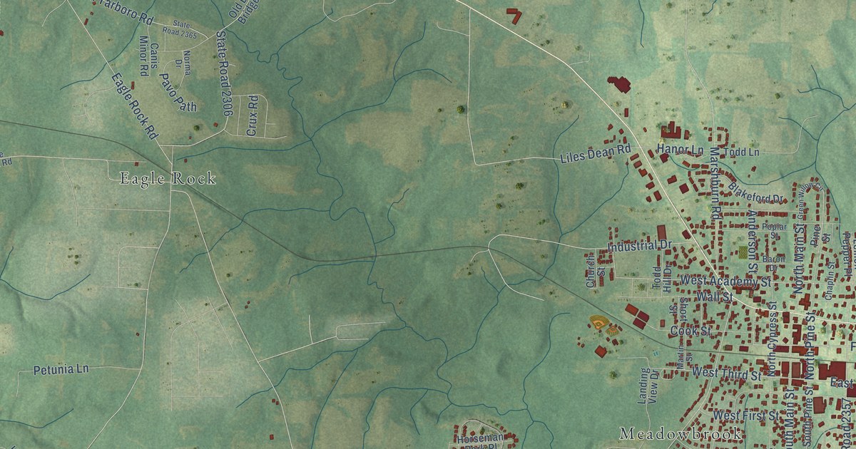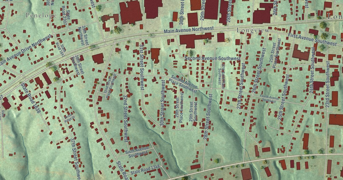
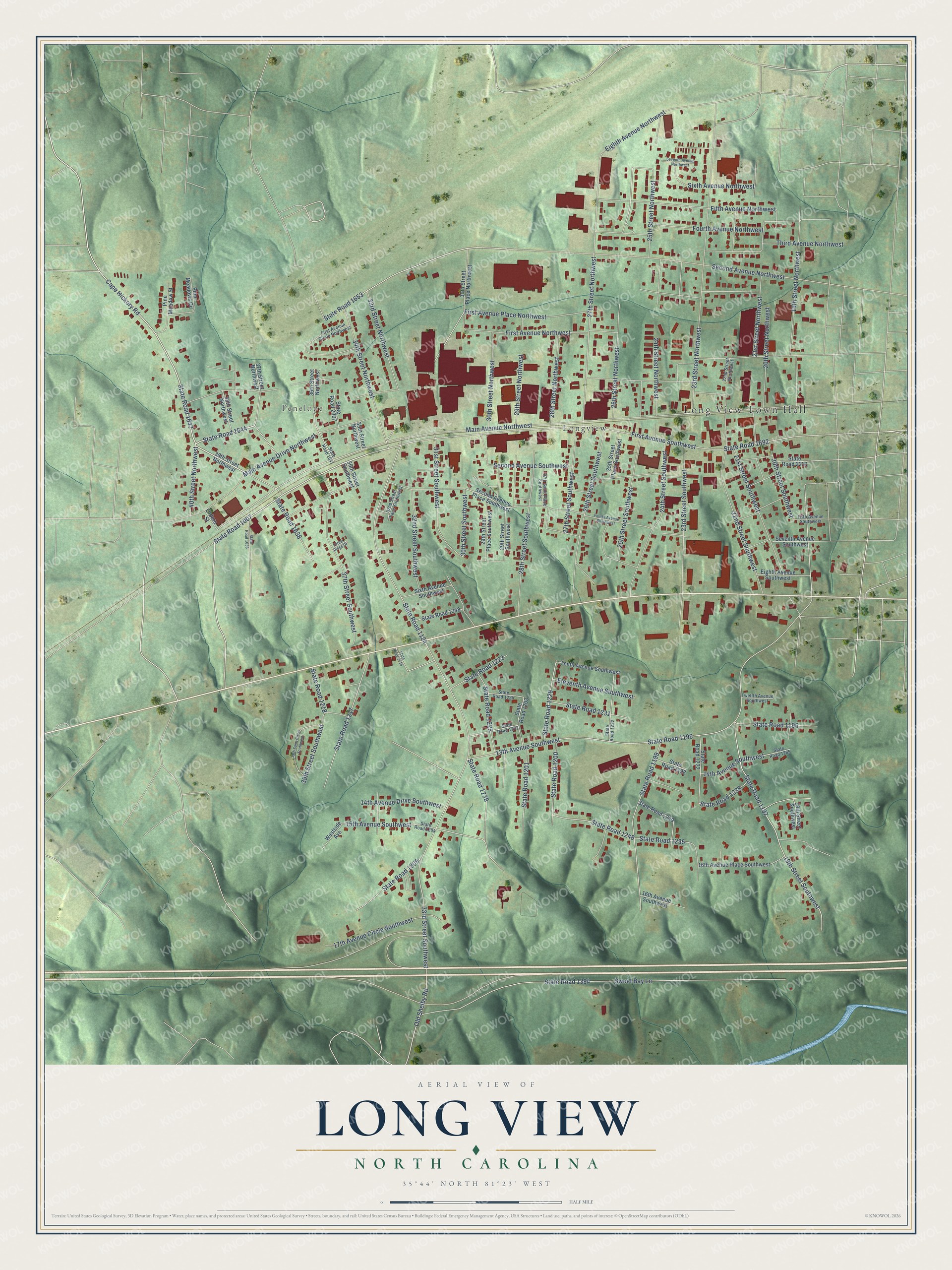
This beautifully detailed map of Long View, North Carolina was created in 2026 using aerial imagery combined with modern topographical, census, street and landmark data. It's a modern aerial view of Long View in Catawba County, North Carolina, that combines modern data with a vintage aesthetic. The roads feature printed names, and if you look closely you can find your exact house accurately shown in its correct location.
Explore an aerial view of Long View, North Carolina
On this map you'll find Long View Town Hall, Penelope, Longview, First Avenue Northwest, State Road 1647, Cape Hickory Road, State Road 1644, First Avenue Southwest, State Road 1007, Main Avenue Northwest, First Avenue Place Northwest, 26th Street Northwest, and more. Each red shape is a building, so zoom in on the preview and look for yours.
Long View has a story worth telling. The Town of Long View puts it this way: "The legend is that the Town of Long View was thought to have been named by Sam D. Campbell a prominent contractor and real estate dealer who helped build the old Piedmont Wagon Company factory building in Hickory."
Long View is a town in Catawba County. The Census Bureau counted 5,088 people here in 2020.
Take a closer look at the Long View map
Names on this map
These names are printed on this map.
Places: Long View Town Hall, Penelope and Longview.
Streets and roads: First Avenue Northwest, State Road 1647, Cape Hickory Road, State Road 1644, First Avenue Southwest, State Road 1007, Main Avenue Northwest, First Avenue Place Northwest, 26th Street Northwest, Second Avenue Northwest, 19th Street Southwest, State Road 1197.
More street names, A to Z
13th Avenue Southwest, 14th Avenue Drive Southwest, 14th Avenue Southwest, 15th Avenue Southwest, 16th Avenue Place Southwest, 16th Avenue Southwest, 17th Avenue Circle Southwest, 18th Street Southwest, 19th Street Northwest, 20th Street Northwest, 20th Street Southwest, 21st Street Northwest, 21st Street Southwest, 22nd Street Northwest, 22nd Street Southwest, 23rd Street Northwest, 23rd Street Southwest, 24th Street Northwest, 24th Street Southwest, 25th Street Northwest, 25th Street Place Southwest, 25th Street Southwest, 26th Street Southwest, 27th Saint Place Southwest, 27th Street Northwest, 27th Street Southwest, 28th Street Northwest, 28th Street Southwest, 29th Street Northwest, 29th Street Place Southwest, 29th Street Southwest, 30th Street Northwest, 30th Street Place Northwest, 30th Street Southwest, 31st Street Southwest, 32nd Street Place Southwest, 32nd Street Southwest, 33rd Street Northwest, 33rd Street Southwest, 34th Street Northwest, 35th Street Northwest, 36th Street Northwest, 36th Street Southwest, 37th Street Northwest, 37th Street Southwest, 38th Street Northwest, 39th Saint Circle Southwest, 39th Street Northwest, 39th Street Southwest, 40th Street Northwest, Eighth Avenue Northwest, Eighth Avenue Southwest, Eleventh Avenue Southwest, Fifth Avenue Northwest, Fifth Avenue Southwest, First Avenue Circle Northwest, Forest Ridge Drive, Fourth Avenue Northwest, Fourth Avenue Southwest, Main Avenue Drive Northwest, Old Shelby Road, Orders Street, Pine Meadows Circle, Pine Meadow Street, Second Avenue Place Southwest, Second Avenue Southwest, Seventh Avenue Northwest, Seventh Avenue Southwest, Sixth Avenue Northwest, Sixth Avenue Southwest, State Road 1124, State Road 1195, State Road 1196, State Road 1198, State Road 1199, State Road 1200, State Road 1201, State Road 1202, State Road 1203, State Road 1204, State Road 1205, State Road 1217, State Road 1218, State Road 1222, State Road 1223, State Road 1224, State Road 1225, State Road 1229, State Road 1231, State Road 1232, State Road 1235, State Road 1238, State Road 1239, State Road 1248, State Road 1249, State Road 1265, State Road 1348, State Road 1394, State Road 1636, State Road 1638, State Road 1641, State Road 1653, State Road 1692, State Road 2231, State Road 2307, State Road 2515, Sweet Bay Lane, Tenth Avenue Southwest, Third Avenue Northwest, Twelfth Avenue Southwest, Westside Avenue.
Created by KNOWOL in 2026. The buildings are small red shapes, the roads carry their printed names, and shaded relief shows the shape of the land. The title panel reads "AERIAL VIEW OF LONG VIEW NORTH CAROLINA" with 35°44' NORTH 81°23' WEST.
It looks right in a kitchen, an office or a den, and it's a gift for anyone who grew up in Long View or moved away. Open the preview and find your street. See sizes and frames for the Long View map.