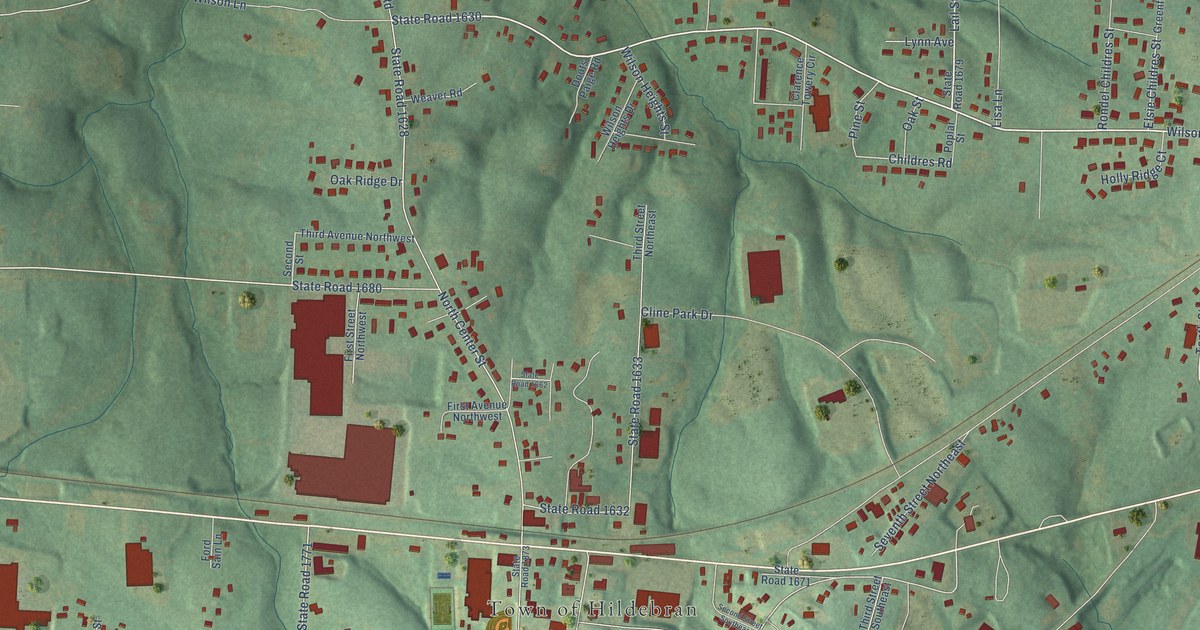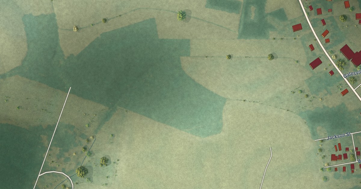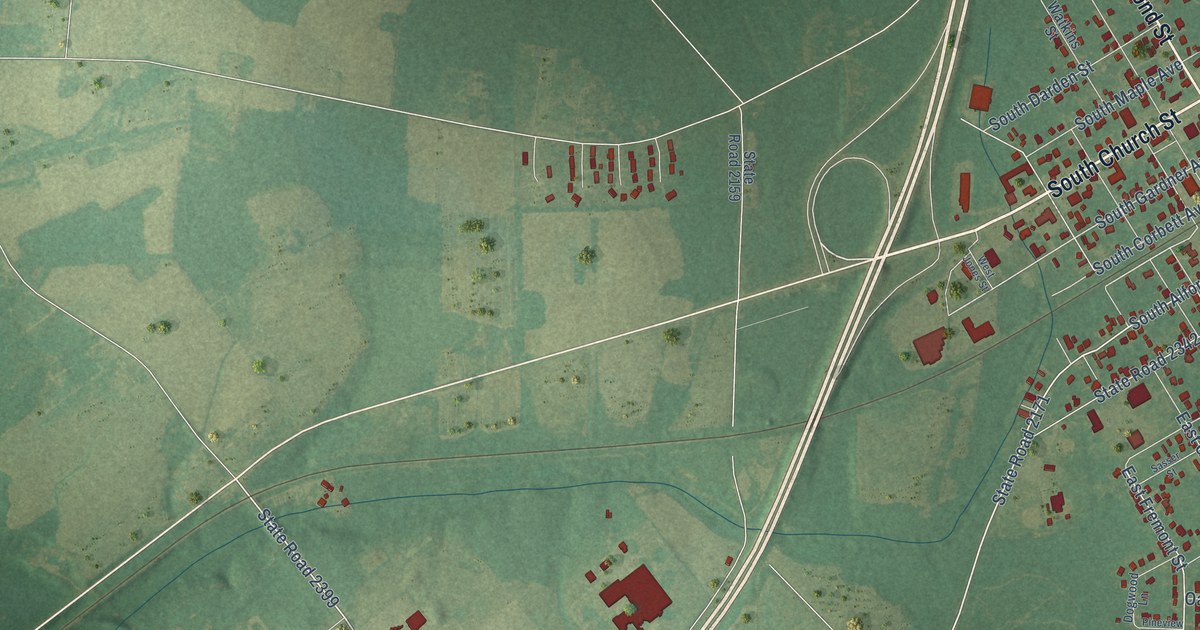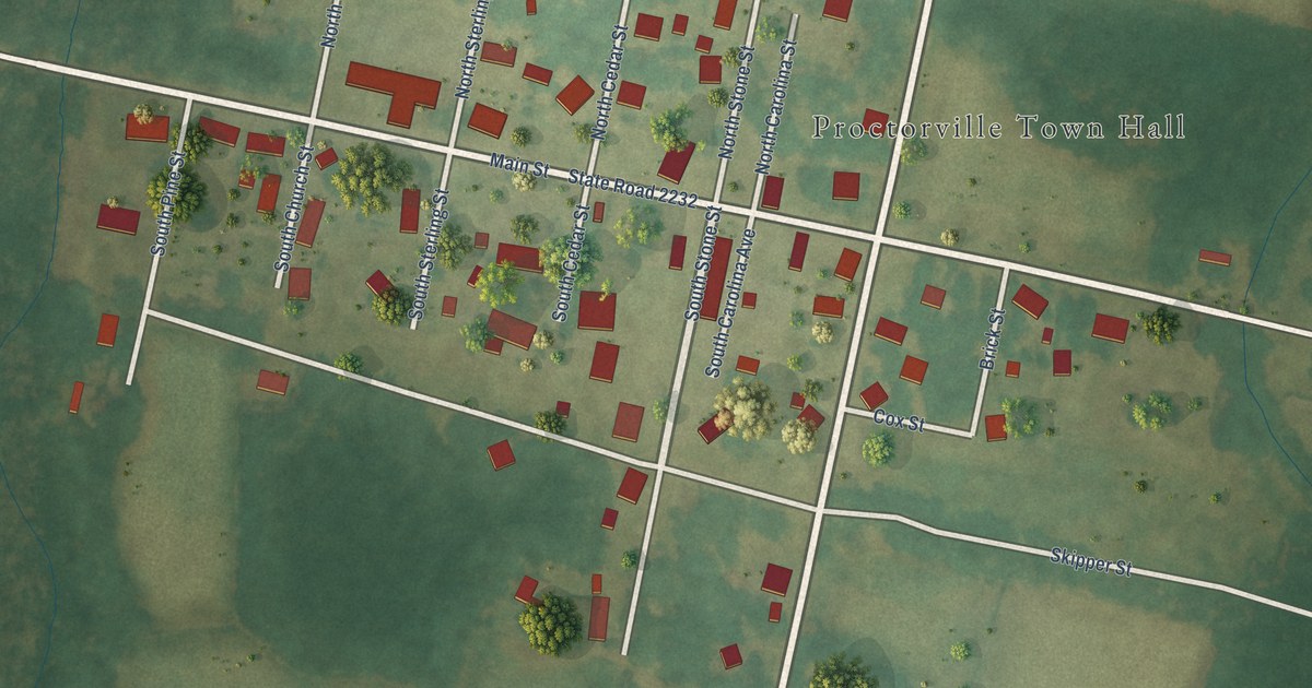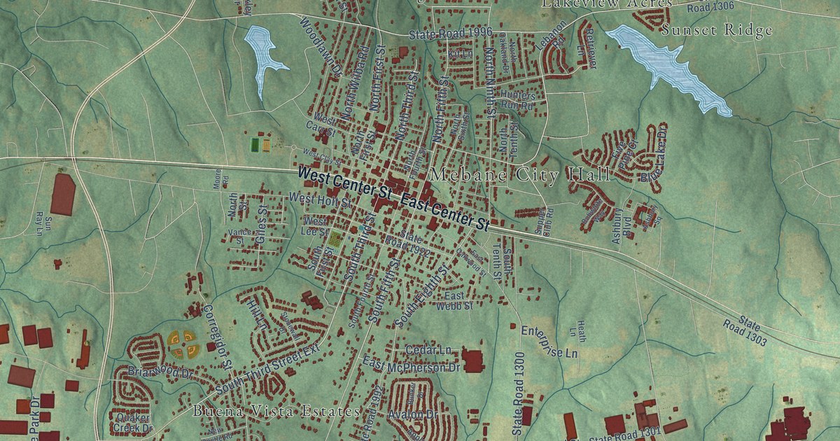
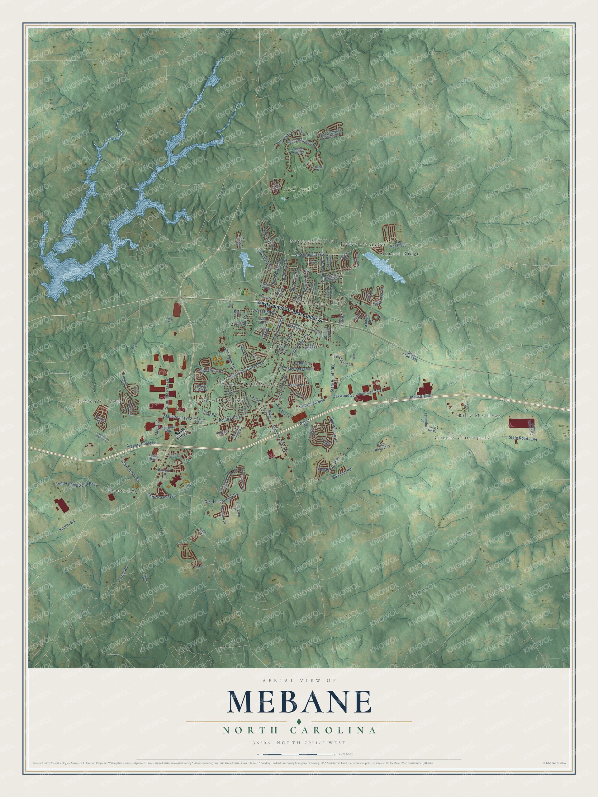
This beautifully detailed map of Mebane, North Carolina was created in 2026 using aerial imagery combined with modern topographical, census, street and landmark data. It's a modern aerial view of Mebane in Alamance County, North Carolina, that combines modern data with a vintage aesthetic. The roads feature printed names, and if you look closely you can find your exact house accurately shown in its correct location.
Explore an aerial view of Mebane, North Carolina
On this map you'll find Mebane City Hall, Holly Meadows, Brook Hollow, Buena Vista Estates, Cheeks Crossroads, Florence Town, Hawfields, Lakeview Acres, Stagecoach Trail, Sunset Ridge, Mill Creek, East Center Street, and more. Each red shape is a building, so zoom in on the preview and look for yours.
Mebane is a city in Alamance County. The Census Bureau counted 17,797 people here in 2020. The map prints the town name in its title panel, with the coordinates below it.
Take a closer look at the Mebane map
Names on this map
These names are printed on this map.
Places: Mebane City Hall, Holly Meadows, Brook Hollow, Buena Vista Estates, Cheeks Crossroads, Florence Town, Hawfields, Lakeview Acres, Stagecoach Trail, Sunset Ridge and Mill Creek.
Streets and roads: East Center Street, West Center Street, South Fifth Street, South Third Street Extension, State Road 1996, South Third Street, North Ninth Street, Foust Road, State Road 1962, North Fifth Street, North Third Street, Woodlawn Drive.
More street names, A to Z
Applecross Drive, Arrowhead Boulevard, Ashbury Boulevard, Ashbury Square, Audrey Garrett Drive, Augusta Drive, Avalon Drive, Ben Wilson Road, Birkdale Circle, Birkdale Drive, Bluebird Lane, Blue Lake Drive, Bobwhite Way, Bowman Road, Briarwood Drive, Brinkley Circle, Brockton Drive, Buckhorn Road, Bunker Drive, Burgess Drive, Cates Drive, Cedar Lane, Collington Drive, Colonial Way, Copper Circle, Corporate Park Drive, Corregidor Street, Dogwood Way, East McPherson Drive, East Oakwood Street, East Webb Street, Edinborough Drive, Enterprise Lane, Fairhaven Drive, Falcon Lane, Farrell Road, Five Pine Court, Gibson Road, Giles Street, Great Smokey Mountain Drive, Gregory Poole Lane, Hastings Boulevard, Heath Lane, Hill Lane, Hope Allison Road, Hudson Drive, Hunters Run Road, Industrial Drive, Jones Drive, Kimrey Road, Kit Lane, Lebanon Road, London Lane, Longleaf Pine Place, Lowes Boulevard, Lysander Lane, Maple Lane, McClellan Trail, Mebane Airport Road, Mebane Oaks Road, Moore Road, Mrs White Lane, New Castle Road, North Carr Street, North First Street, North Fourth Street, North Oakland Drive, North Sixth Street, North Street, North Tenth Street, North Wilba Road, Oakwood Street, Old Hillsborough Road, Pear Tree Lane, Pebble Beach Drive, Quaker Creek Drive, Retriever Lane, Saint Andrews Drive, Sam Snead Drive, Sentor Ralph Scott Parkway, South Eighth Street, South Fifth Street Extension, South First Street, South Fourth Street, South Tenth Street, Spring Forest Drive, State Road 1007, State Road 1142, State Road 1144, State Road 1300, State Road 1301, State Road 1303, State Road 1306, State Road 1922, State Road 1981, State Road 1992, State Road 2126, Stonewall Drive, Sun Ray Lane, Supper Club Road, Sweet Gum Way, Trollingwood Hawfields Road, Turner Road, Vance Street, West Carr Street, West Clay Street, West Holt Street, West Lee Street, West Ten Road, Wilson Road.
Created by KNOWOL in 2026. The buildings are small red shapes, the roads carry their printed names, and shaded relief shows the shape of the land. The title panel reads "AERIAL VIEW OF MEBANE NORTH CAROLINA" with 36°06' NORTH 79°16' WEST.
It suits a den, a classroom or a front hall, and it makes a gift for anyone with Mebane roots. Open the preview and find the block you know. See sizes and frames for the Mebane map.