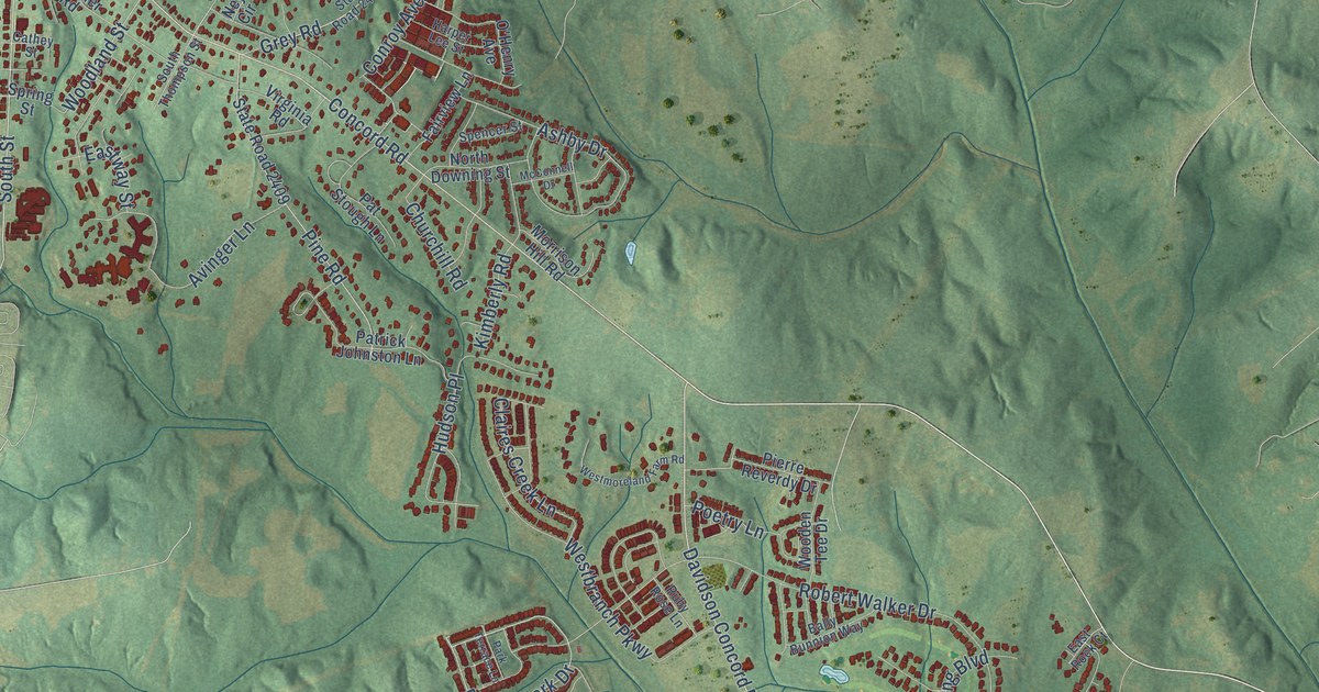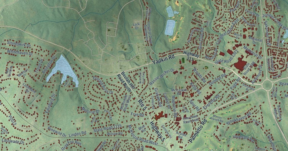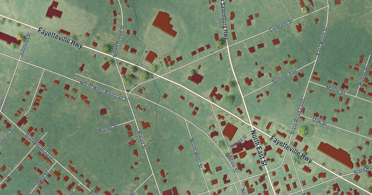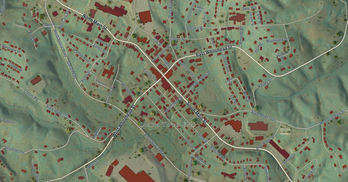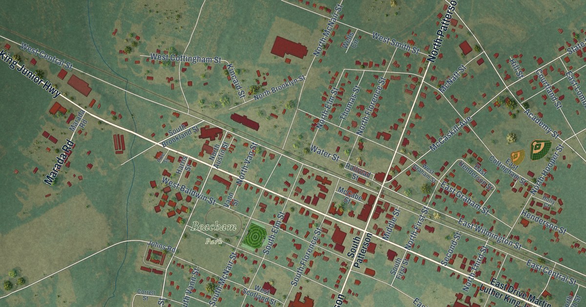
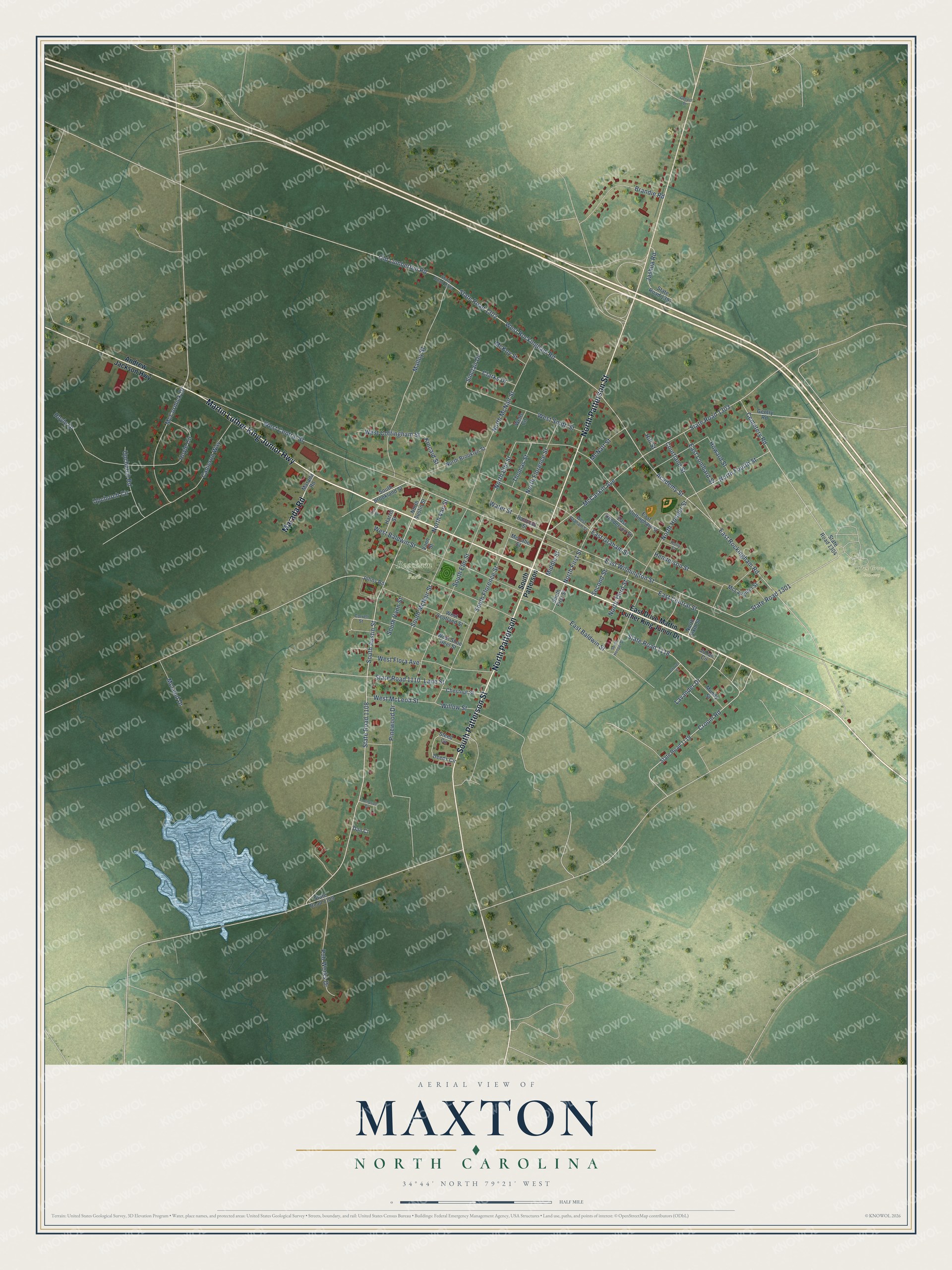
This beautifully detailed map of Maxton, North Carolina was created in 2026 using aerial imagery combined with modern topographical, census, street and landmark data. It's a modern aerial view of Maxton in Robeson County, North Carolina, that combines modern data with a vintage aesthetic. The roads feature printed names, and if you look closely you can find your exact house accurately shown in its correct location.
Explore an aerial view of Maxton, North Carolina
On this map you'll find Beacham Park, Oak Grove Cemetery, South Patterson Street, North Patterson, Martin Luther King Junior Highway, Marada Road, North Patterson Street, West Central Street, East Central Street, Lavander Drive, State Road 1108, South Austin Street, and more. Each red shape is a building, so zoom in on the preview and look for yours.
Here is a piece of Maxton history, in the words of the record. The record at dncr.nc.gov puts it this way: "On the night of January 18, 1958, a group of Ku Klux Klan supporters gathered near Hayes Mill Pond in Maxton."
Maxton is a town in Robeson County. The Census Bureau counted 2,110 people here in 2020.
Take a closer look at the Maxton map
Names on this map
These names are printed on this map.
Places: Beacham Park and Oak Grove Cemetery.
Streets and roads: South Patterson Street, North Patterson, Martin Luther King Junior Highway, Marada Road, North Patterson Street, West Central Street, East Central Street, Lavander Drive, State Road 1108, South Austin Street, State Road 1118, North First Street.
More street names, A to Z
Academy Street, Andrew Jackson Highway, Brandie Road, Cameron Way, Cemetery Road, Chestnut Street, Clarks Drive, Correll Street, Courtland Street, Croom Road, Dan Court, Deeds Circle, East Baldwin Street, East Cottingham Street, East Drive Martin Luther King Junior Drive, East Graham Street, East Henderson Street, East Lombard Street, East Rockingham Road, East Wilmington Street, Gentry Road, Gospel Drive, Grover Street, Harris Street, Henderson Street, Hill Street, Holly Court, Howard Street, Hoyle Circle, Hoyle Drive, Jashua Road, Johns Road, Julian Circle, Kincaid Street, Lane Street, Malloy Street, McCabe Street, McCaskill Avenue, McCormick Drive, McKoy Street, McLaughlin Street, McLeod Drive, McNatt Street, Middle Street, Mundy Street, North Austin Street, North Brooklyn Street, North Elm Street, North Florence Street, North Fourth Street, North Hooper Street, North McNair Street, North Sixth Street, North Third Street, North Van Street, Old Lumberton Road, Pine Street, Pinewood Drive, Pub Works Drive, Railroad Street, Second Street, Sinclair Drive, South Brookland Street, South Elm Street, South First Street, South Florence Street, South Hooper Street, South McNair Street, South Patterson, South Vann Street, State Road 1109, State Road 1110, State Road 1119, State Road 1301, State Road 1302, State Road 1303, State Road 1304, State Road 1323, State Road 1391, Steed Circle, Thomas Street, Thompson Court, Upchurch Circle, Upchurch Road, Vann Street, Water Street, Wells Circle, West Baldwin Street, West Cottingham Street, West Flora Avenue, West Graham Street, West McLeod Street, West Rockingham Road, West Scotland Street, West Shoe Heel Street, West Smith Street, Willow Street.
Created by KNOWOL in 2026. The buildings are small red shapes, the roads carry their printed names, and shaded relief shows the shape of the land. The title panel reads "AERIAL VIEW OF MAXTON NORTH CAROLINA" with 34°44' NORTH 79°21' WEST.
It suits a den, a classroom or a front hall, and it makes a gift for anyone with Maxton roots. Open the preview and find the block you know. See sizes and frames for the Maxton map.