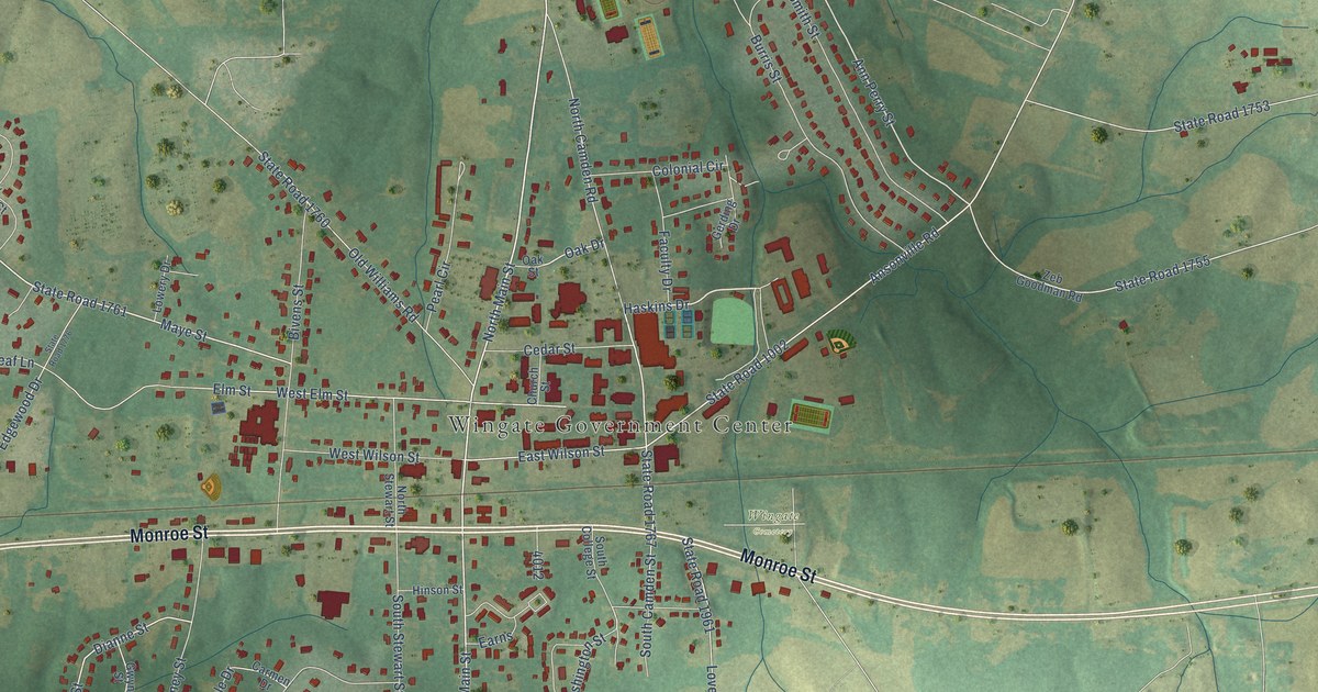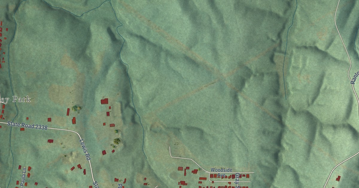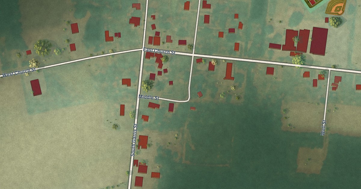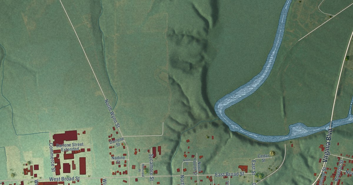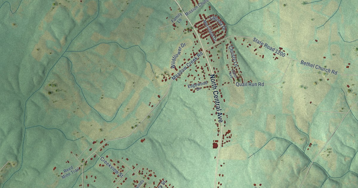
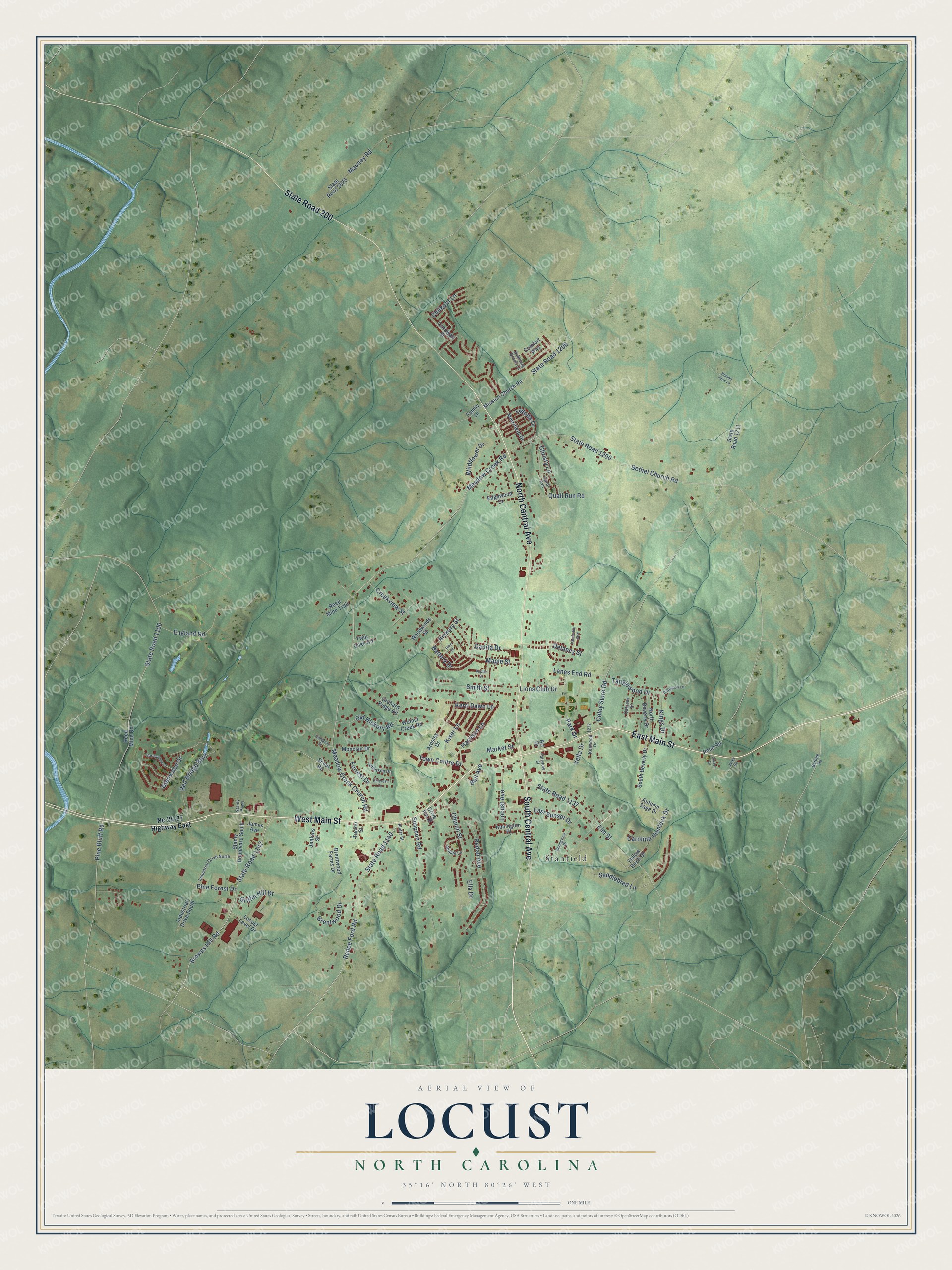
This beautifully detailed map of Locust, North Carolina was created in 2026 using aerial imagery combined with modern topographical, census, street and landmark data. It's a modern aerial view of Locust in Stanly County, North Carolina, that combines modern data with a vintage aesthetic. The roads feature printed names, and if you look closely you can find your exact house accurately shown in its correct location.
Explore an aerial view of Locust, North Carolina
On this map you'll find Stanfield, South Central Avenue, West Main Street, North Central Avenue, East Main Street, State Road 200, Renee Ford Road, Browns Hill Road, State Road 1142, Meadow Creek Road, Redah Avenue, Pine Bluff Road, and more. Each red shape is a building, so zoom in on the preview and look for yours.
Here is a piece of Locust history, in the words of the record. The North Carolina Gazetteer puts it this way: "Locust town in SW Stanly County. Inc. 1905, but long inactive in municipal affairs. A post office, Locust Level, opened 1869; discontinued 1919. Reestablished under present name, 1955. Named for large locust tree. Locust Level changed to Locust in 1894."
Locust is a city in Stanly County. The Census Bureau counted 4,537 people here in 2020.
Take a closer look at the Locust map
Names on this map
These names are printed on this map.
Places: Stanfield.
Streets and roads: South Central Avenue, West Main Street, North Central Avenue, East Main Street, State Road 200, Renee Ford Road, Browns Hill Road, State Road 1142, Meadow Creek Road, Redah Avenue, Pine Bluff Road, Battery Drive.
More street names, A to Z
Abbington Place, Abigail Lane, Ardsley Drive, Art Drive, Autumn Sage Drive, Babbling Brook Lane, Barbee Road, Barleywood Drive, Bell Avenue, Bethel Church Road, Brentwood Drive, Brentwood Farms Drive, Carol Avenue, Carolina Hemlock Drive, Chilkoot Lane, Christy Lane, Church Street, Coley Store Road, Comfort Way, Cornwall Street, Creekview Street, Danita Drive, Delancy Street, Driftwood Lane, Drive Inn Street, East Sunset Drive, Edgewood Drive, Ella Drive, Elm Street, England Road, Fairview Street, Family Lane, Forrest Drive, Glenwood Drive, Griffin Hill Drive, Harrison Lane, Hickory Street, Hillcrest Drive, Hinson Farm Lane, Industrial Drive North, Industrial Drive South, Jacks Road, James Avenue, Jefferson Drive, Jenkins Street, Kenwood Drive, Kerri Dawn Lane, Kings Drive, Kiser Lane, Kluttz Street, Lagoda Drive, Lanes End Road, Lions Club Drive, Locust Avenue, Locust Level Drive, Maple Street, Market Street, Mauney Road, Meadow Creek Church Road, Merrifield Drive, Mission Church Road, Monclair Drive, Nc 24-27 Highway East, North Beverly Drive, Oakgrove Street, Oakland Street, Old Hickory Road, Orchard Ridge Road, Park Drive, Pine Forest Drive, Pine Street, Pond Road, Poplar Street, Quail Run Road, Red Bridge Boulevard, Reed Mine Road, Reed Mine Trail, Saddlebred Lane, Scout Road, Sharon Circle, Simpson Road, Smith Street, South Beverly Drive, Springview Drive, Stanly Boulevard South, Stanly Parkway, State Road 1100, State Road 1137, State Road 1140, State Road 1200, State Road 1206, State Road 1211, State Road 2625, Tanglewood Drive, Town Centre Drive, Tucker Street, Twin Oaks Circle, Vanderbilt Boulevard, Vella Drive, Walnut Creek Road, Wildflower Drive, Woodwinds Street, Yellow Birch Drive.
Created by KNOWOL in 2026. The buildings are small red shapes, the roads carry their printed names, and shaded relief shows the shape of the land. The title panel reads "AERIAL VIEW OF LOCUST NORTH CAROLINA" with 35°16' NORTH 80°26' WEST.
It suits a den, a classroom or a front hall, and it makes a gift for anyone with Locust roots. Open the preview and find the block you know. See sizes and frames for the Locust map.