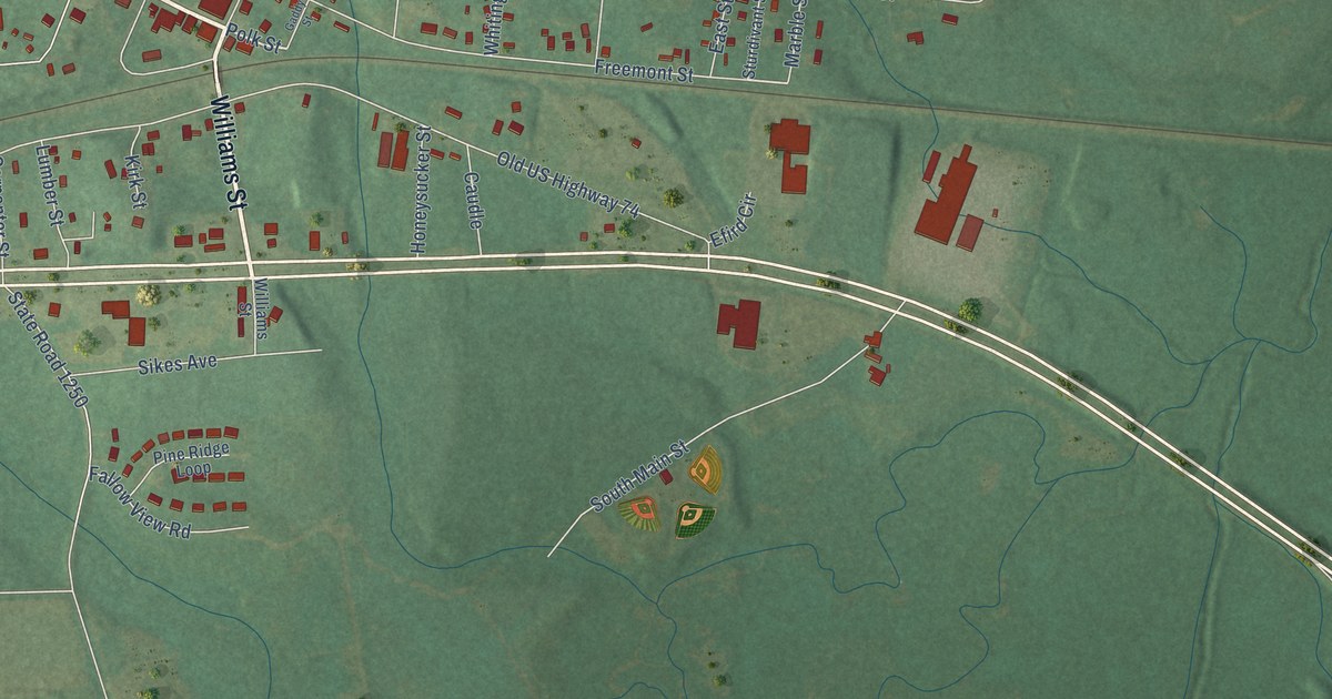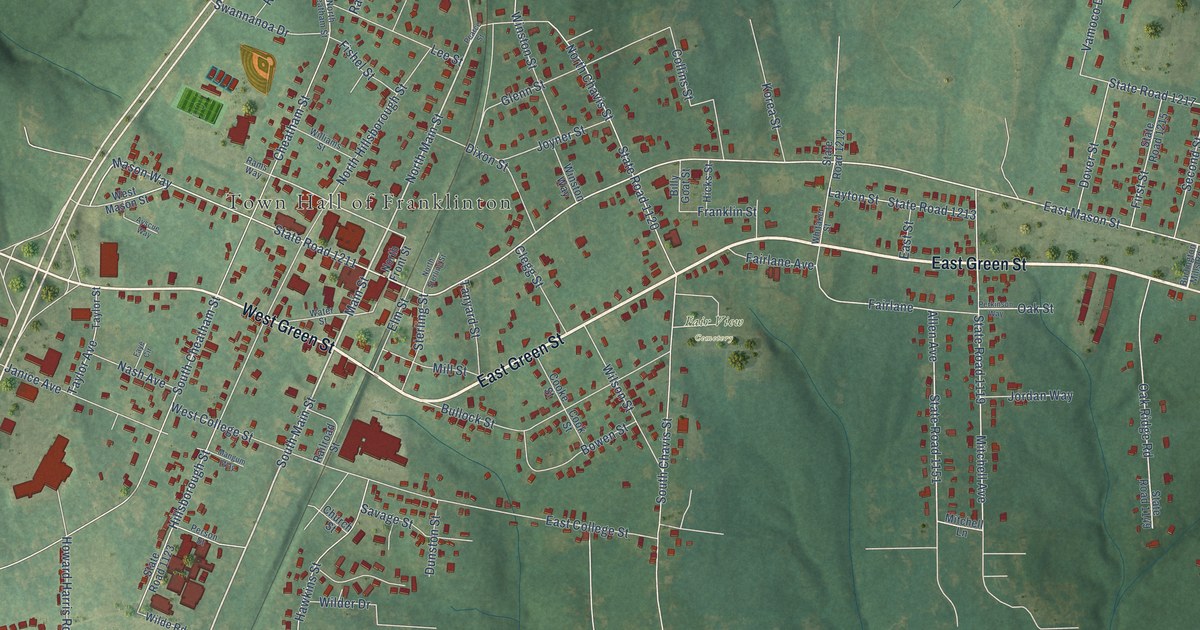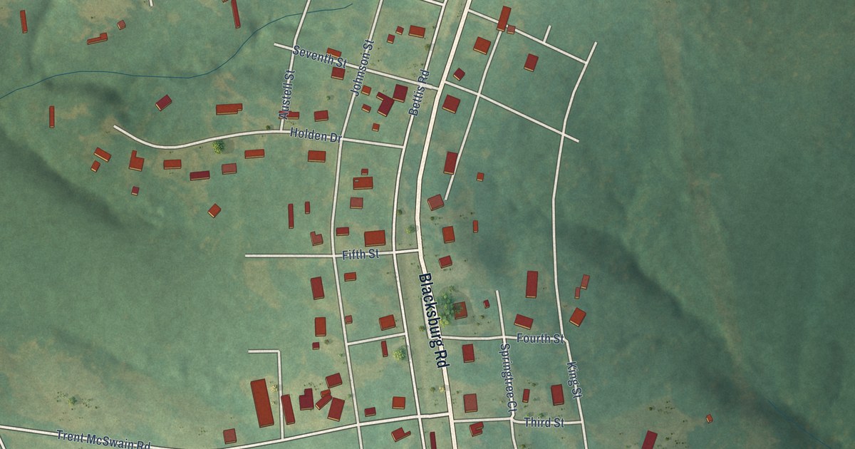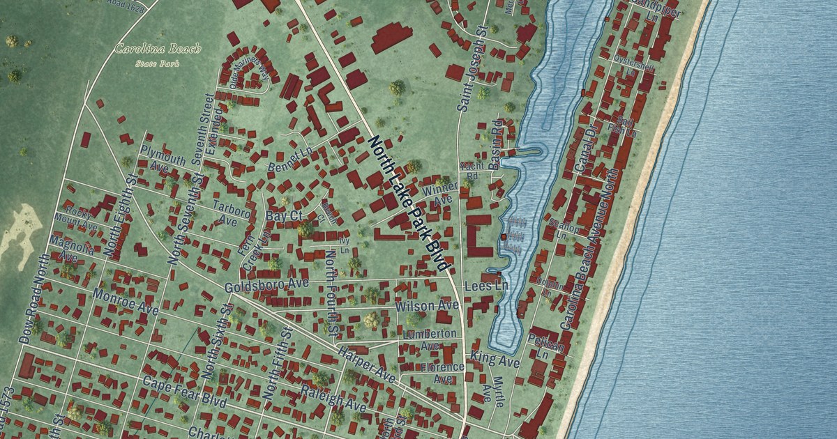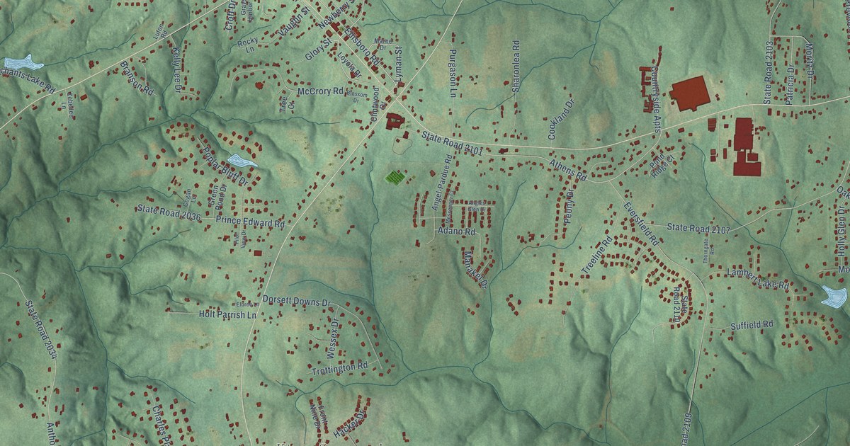
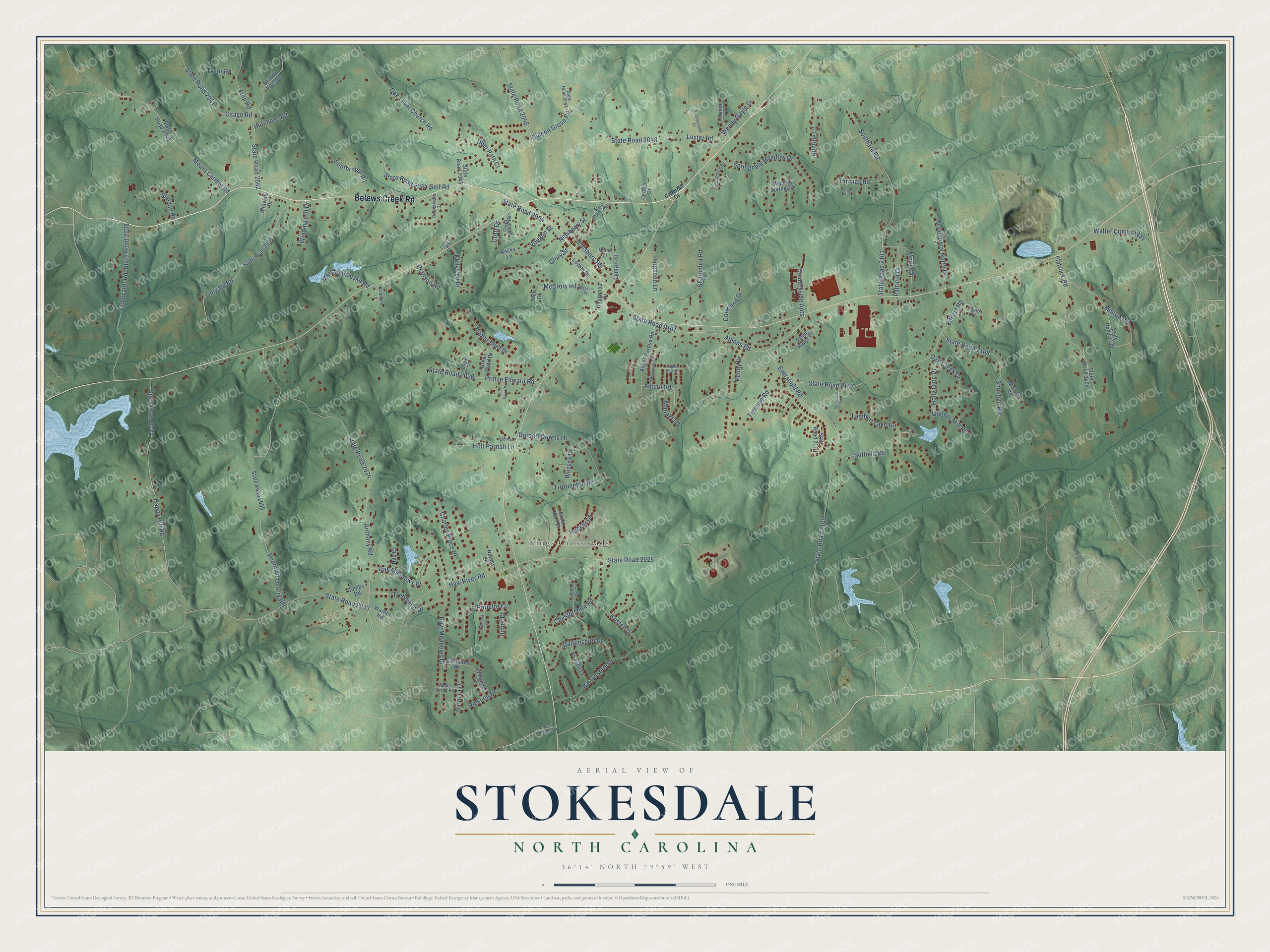
This beautifully detailed map of Stokesdale, North Carolina was created in 2026 using aerial imagery combined with modern topographical, census, street and landmark data. It's a modern aerial view of Stokesdale in Guilford County, North Carolina, that combines modern data with a vintage aesthetic. The roads feature printed names, and if you look closely you can find your exact house accurately shown in its correct location.
Explore an aerial view of Stokesdale, North Carolina
On this map you'll find Kings Crossroads, Belews Creek Road, Ellisboro Road, State Road 2054, State Road 2046, State Road 2101, Trebbiano Drive, Osage Road, State Road 2041, Lyman Street, State Road 2042, Haw River Road, and more. Each red shape is a building, so zoom in on the preview and look for yours.
Here is a piece of Stokesdale history, in the words of the record. The North Carolina Gazetteer puts it this way: "Stokesdale town in NW Guilford County. Alt. 950. Inc. 1907. Known until 1887 as Pond; renamed probably for Governor Montford Stokes (1762-1842). Post office est. 1879."
Stokesdale is a town in Guilford County. The Census Bureau counted 5,924 people here in 2020.
Take a closer look at the Stokesdale map
Names on this map
These names are printed on this map.
Places: Kings Crossroads.
Streets and roads: Belews Creek Road, Ellisboro Road, State Road 2054, State Road 2046, State Road 2101, Trebbiano Drive, Osage Road, State Road 2041, Lyman Street, State Road 2042, Haw River Road, State Road 2028.
More street names, A to Z
Adano Road, Agatha Drive, Alda Road, Altavista Drive, Angel-Pardue Road, Angles Glen Drive, Anthony Road, Apple Grove Road, Athens Road, Barbera Drive, Bartonshire Drive, Blossom Drive, Brandy Trace Lane, Branson Road, Cabernet Cv, Calmeria Court, Charles Place Drive, Chestershire Road, Claywood Drive, Clintwood Drive, Cogan Lane, Coldwater Road, Colgate Road, Combs Road, Cookland Drive, Corday Drive, Countryside Apts, Croft Drive, Daltonshire Drive, Deer Path Court, Dorsett Downs Drive, Elbree Lane, Ellison Road, Eversfield Road, Fieldstream Drive, Flatrock Road, Footbridge Road, Front Nine Drive, Fulp Road, Gideon Grove Road, Glory Street, Grays Harbor Road, Green Pond Drive, Hacker Drive, Hap Court, Happy Hill Road, Haw Meadows Drive, Holly Glen Drive, Holt Parrish Lane, Hunting Court, Hutchens Road, Kandi Drive, Keating Drive, Kelly Lee Drive, Kristen Drive, Lambert Lake Road, Lester Road, Loyola Drive, Luton Road, Manakel Drive, Marlow Road, Marne Drive, McCrory Road, Meadow Springs Drive, Merchants Lake Road, Messenger Court, Millrun Road, Moores Mill Road, Moritz Drive, Mount Carmel Road, Newberry Street, Notees Lane, Oak Creek Drive, Oak Level Church Road, Oak Meadows Drive, Patricia Drive, Pearman Quarry Road, Peony Drive, Perlette Court, Perthshire Drive, Pilot View Drive, Pond Ridge Court, Poplar Bluff Drive, Prince Edward Road, Providence North Drive, Purgason Lane, Ribier Drive, Riesling Drive, Rocky Lane, Self Road, Sharonlea Road, Shedan Road, Shoeline Road, Southard Road, Springbirch Drive, Springdale Meadow Drive, State Road 2032, State Road 2033, State Road 2034, State Road 2035, State Road 2036, State Road 2038, State Road 2039, State Road 2040, State Road 2044, State Road 2045, State Road 2047, State Road 2048, State Road 2053, State Road 2103, State Road 2105, State Road 2106, State Road 2107, State Road 2108, State Road 2109, State Road 2110, Suffield Road, Thomas Road, Thorngate Road, Tree Court, Treeline Road, Trottington Road, Tysor Road, Vaughn Street, Walter Combs Way, Warner Road, Wendy Gayle Drive, Wessex Drive, West Harrell Road, Winding Hill Drive, Zebedee Lane, Zinfandel Drive, Zinfandel Road.
Created by KNOWOL in 2026. The buildings are small red shapes, the roads carry their printed names, and shaded relief shows the shape of the land. The title panel reads "AERIAL VIEW OF STOKESDALE NORTH CAROLINA" with 36°14' NORTH 79°59' WEST.
It suits a den, a classroom or a front hall, and it makes a gift for anyone with Stokesdale roots. Open the preview and find the block you know. See sizes and frames for the Stokesdale map.