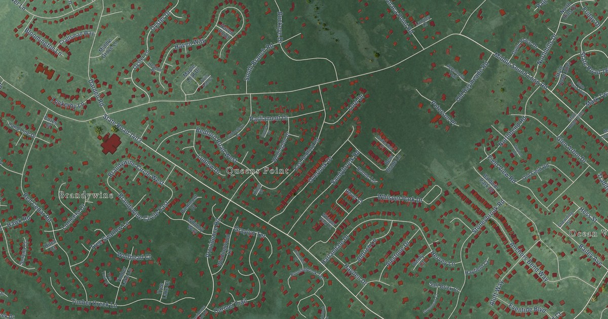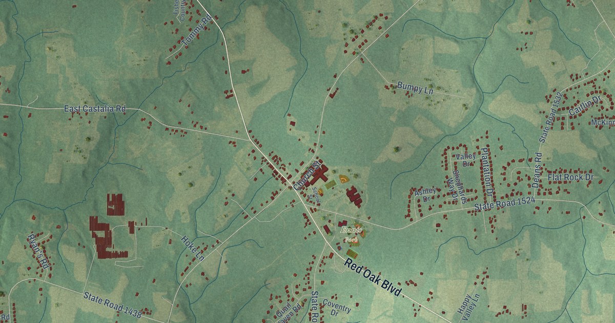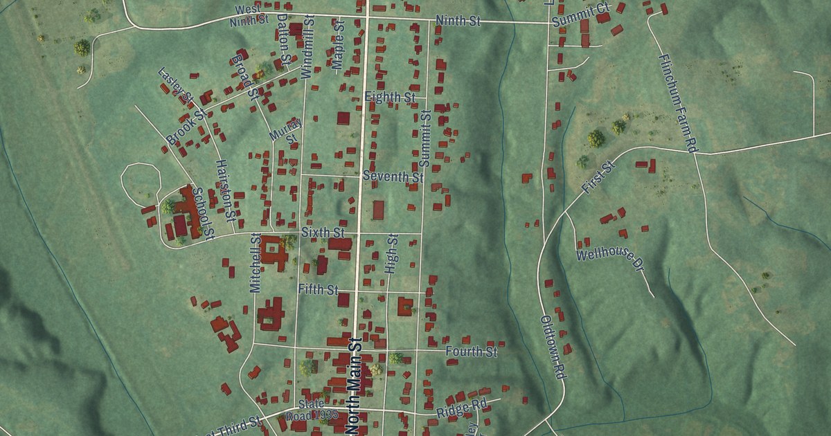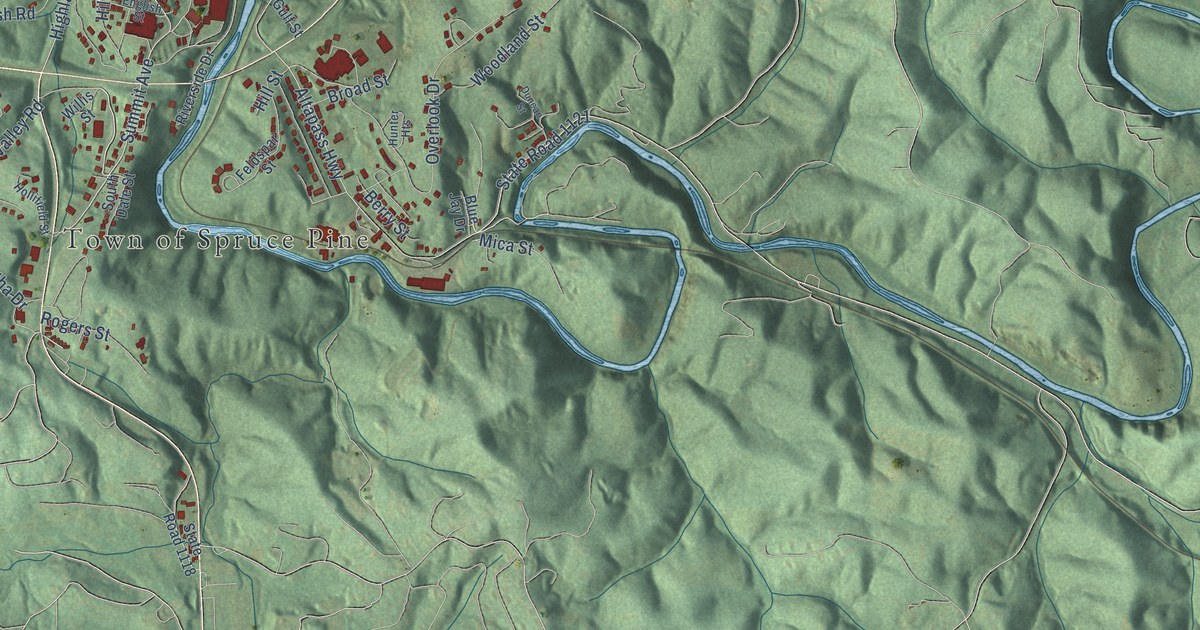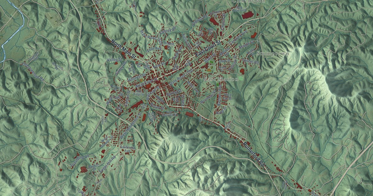
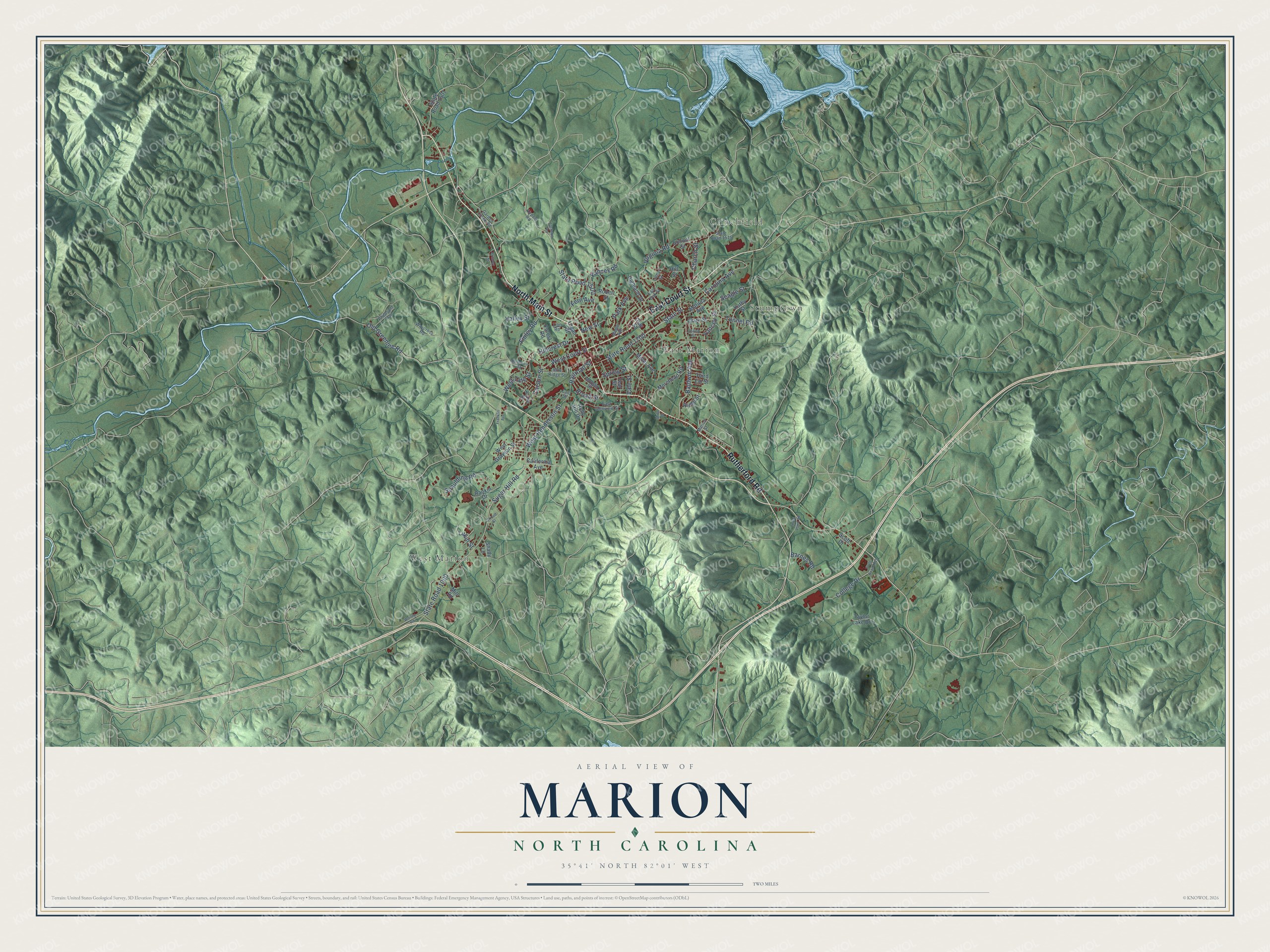
This beautifully detailed map of Marion, North Carolina was created in 2026 using aerial imagery combined with modern topographical, census, street and landmark data. It's a modern aerial view of Marion in McDowell County, North Carolina, that combines modern data with a vintage aesthetic. The roads feature printed names, and if you look closely you can find your exact house accurately shown in its correct location.
Explore an aerial view of Marion, North Carolina
On this map you'll find West Marion, Clinchfield, Stumptown, East Marion, Rutherford Road, East Court Street, North Main Street, State Road 1700, West Court Street, State Road 1000, Sugar Hill Road, State Road 1500, and more. Each red shape is a building, so zoom in on the preview and look for yours.
Marion has a story worth telling. The record at dncr.nc.gov puts it this way: "Daniel Kanipe, one of two survivors of Custer’s battalion at the Battle of the Little Bighorn, was born in Marion on April 15, 1853, the son of Jacob and Isabella Kanipe."
Marion is a city in McDowell County. The Census Bureau counted 7,717 people here in 2020.
Take a closer look at the Marion map
Names on this map
These names are printed on this map.
Places: West Marion, Clinchfield, Stumptown and East Marion.
Streets and roads: Rutherford Road, East Court Street, North Main Street, State Road 1700, West Court Street, State Road 1000, Sugar Hill Road, State Road 1500, West Henderson Street, Baldwin Avenue, State Street, Virginia Road.
More street names, A to Z
Airport Road, Barnes Road, Blue Ridge Street, Bradley Street, Broad Street, California Avenue, Carolina Avenue, Carson Street, Church Street, Clark Street, Clay Street, College Drive, East Glenview Street, East Oak Street, Fern Avenue, Finley Road, Forest Road, Franklin Avenue, Garden Creek Road, Highland Drive, Hillcrest Drive, Hill Street, Holly Hill Drive, Jackson Road, Kathy Street, Lail Street, Lamar Street, Leach Street, Logan Street, Lukin Street, Maple Avenue, Marion Street, Matilda Avenue, Miller Avenue, Mill Road, Morehead Road, Morgan Street, New Street, Old Greenlee Road, Park Avenue, Pheasant Trail, Railroad Street, Rankin Drive, Reservoir Road, Ridge Street, Roane Street, Robert Street, School Street, Scott Drive, Seagle Street, Shady Lane, Shop Drive, Spaulding Road, Spring Street, State Road 1501, State Road 1515, State Road 1819, Stroud Street, Taylor Lake Drive, Teal Street, Third Em Street, Three Point Road, Tunnel Road, Vale Street, Valley Street, Waycross Road, West Grayson Street, West Tate Street, Worley Road, Yancey Road, Yancey Street, Zion Road.
Created by KNOWOL in 2026. The buildings are small red shapes, the roads carry their printed names, and shaded relief shows the shape of the land. The title panel reads "AERIAL VIEW OF MARION NORTH CAROLINA" with 35°41' NORTH 82°01' WEST.
It looks right in a kitchen, an office or a den, and it's a gift for anyone who grew up in Marion or moved away. Open the preview and find your street. See sizes and frames for the Marion map.