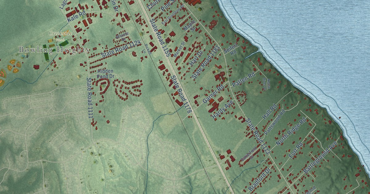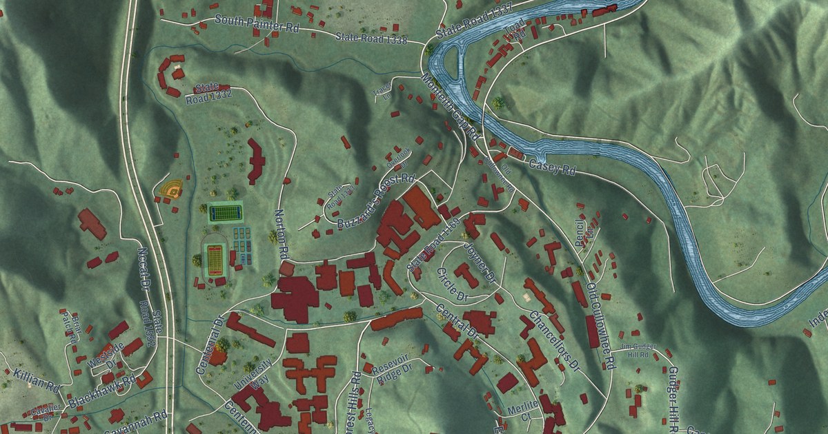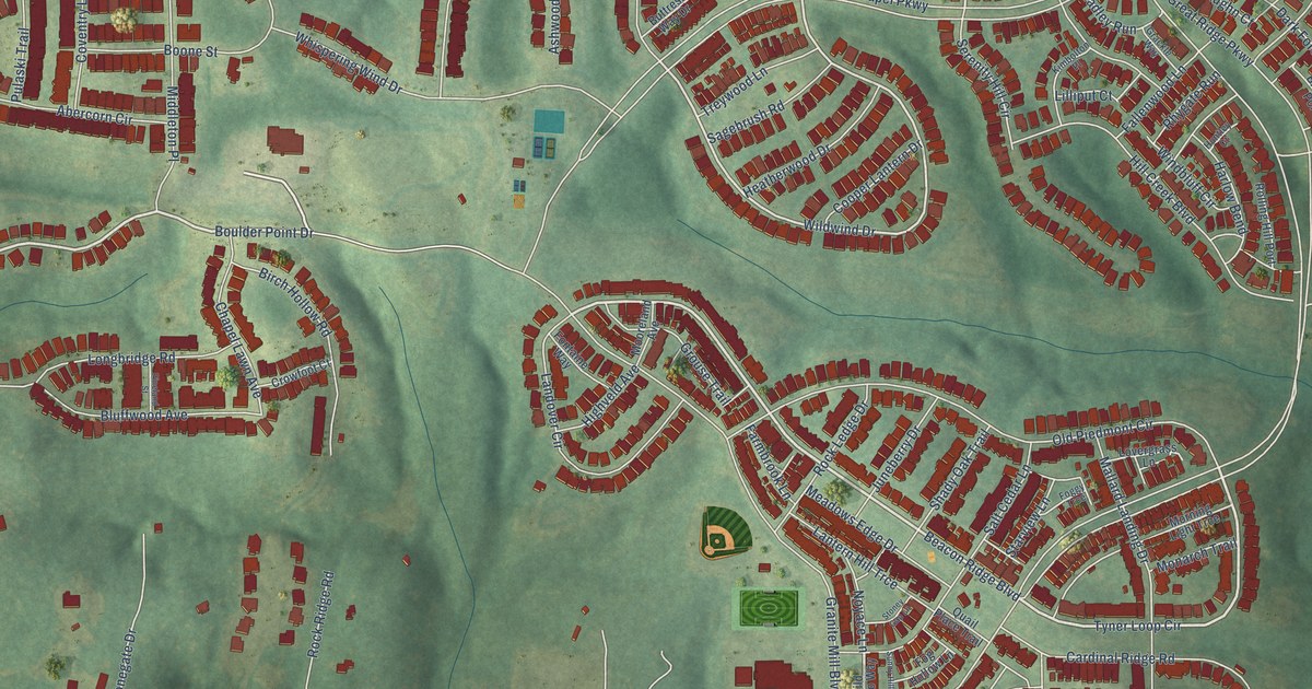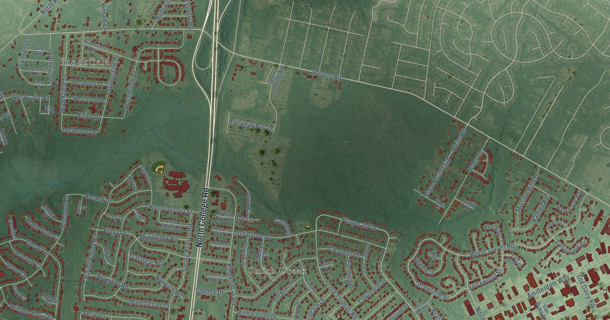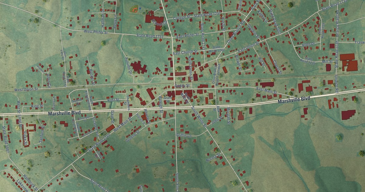
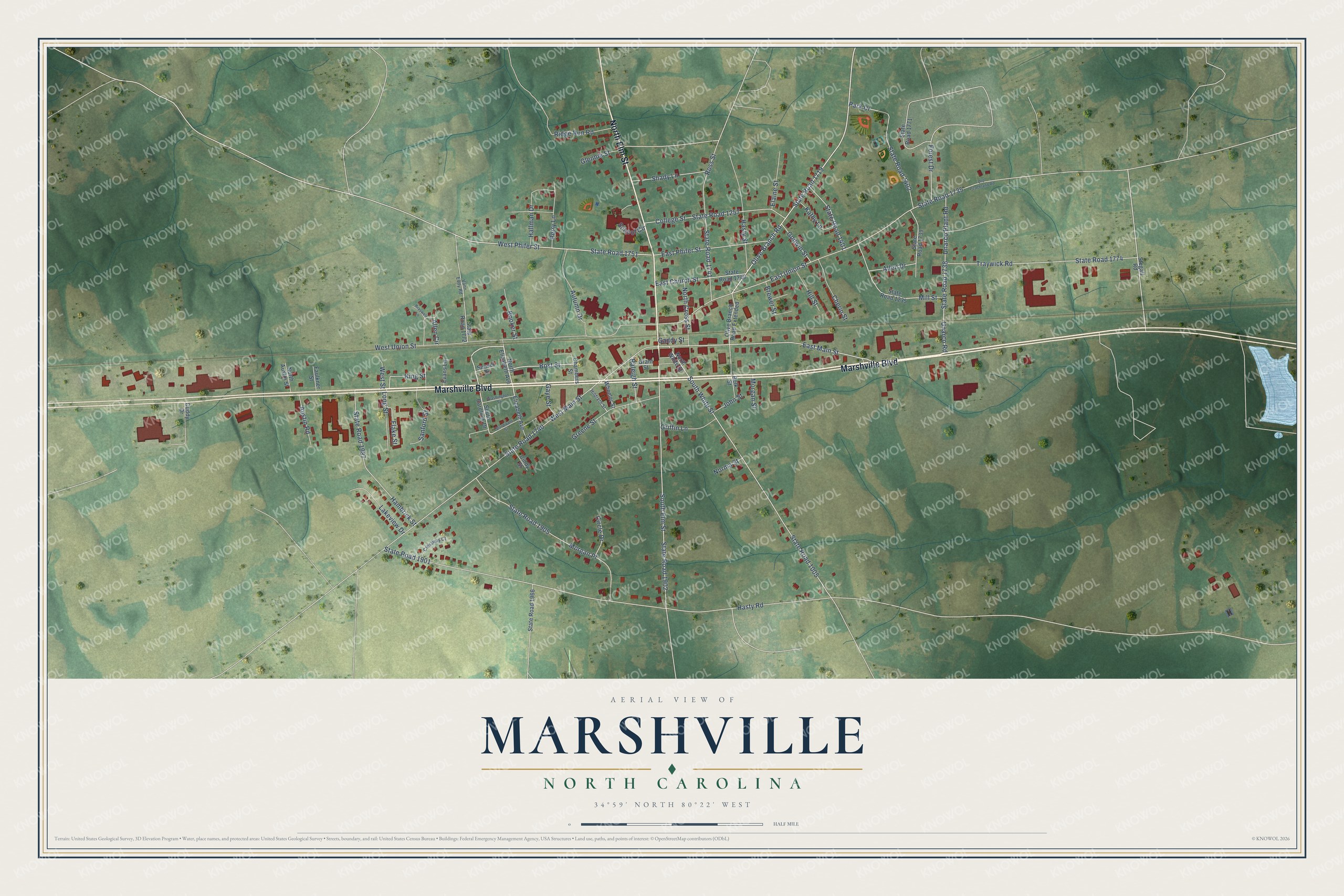
This beautifully detailed map of Marshville, North Carolina was created in 2026 using aerial imagery combined with modern topographical, census, street and landmark data. It's a modern aerial view of Marshville in Union County, North Carolina, that combines modern data with a vintage aesthetic. The roads feature printed names, and if you look closely you can find your exact house accurately shown in its correct location.
Explore an aerial view of Marshville, North Carolina
On this map you'll find Marshville Boulevard, North Elm Street, Olive Branch Road, State Road 1719, State Road 1751, West Phifer Street, East Main Street, Bost Street, South White Street, South Elm Street, East Union Street, State Road 1740, and more. Each red shape is a building, so zoom in on the preview and look for yours.
Every town has a first chapter, and Marshville is no exception. The record at dncr.nc.gov puts it this way: "Albert Ray Newsome, North Carolina historian, was born in Marshville June 4, 1894, to Richard Clyde and Julia Ross Newsome. He graduated from the University of North Carolina at the top of his class in 1915, at which time he began teaching in the state’s public schools."
Marshville is a town in Union County. The Census Bureau counted 2,522 people here in 2020.
Take a closer look at the Marshville map
Names on this map
These names are printed on this map.
Streets and roads: Marshville Boulevard, North Elm Street, Olive Branch Road, State Road 1719, State Road 1751, West Phifer Street, East Main Street, Bost Street, South White Street, South Elm Street, East Union Street, State Road 1740.
More street names, A to Z
Allen Circle, Allen Drive, Austin Road, Autumn Drive, Belk Street, Booker Street, Braswell Lane, Brewer Street, Chambers Street, Cherio Street, Cindy Street, Circle Drive, College Street, Crestway Court, Cuddy Drive, East Church Street, East Phifer Street, Elaine Street, Elizabeth Avenue, Evans Lane, Faulkner Street, Flake Street, Forest Drive, Gaddy Street, Gaye Street, Glennie Street, Godwin Street, Grant Street, Greene Street, Griffin Lane, Hallman Drive, Hambrick Street, Hasty Road, Hasty Street, Hildreth Street, Hill Street, John Street, Kathy Lane, King Street, Lakeview Drive, Long Street, Mill Street, Morgan Place, Morgan Street, Norma Street, North Austin Street, North Cross Street, North Elizabeth Avenue, North White Street, Old Peachland Road, Olive Branch Road Extended, Park Drive, Perry Lane, Raleigh Street, Ridge Run Road, Ross Street, Sanford Street, School Circle, Shady Lane, South Carelock Drive, State Road 1005, State Road 1235, State Road 1240, State Road 1257, State Road 1401, State Road 1402, State Road 1735, State Road 1738, State Road 1739, State Road 1741, State Road 1771, State Road 1772, State Road 1774, State Road 1901, State Road 1902, State Road 1905, State Road 1966, State Road 1987, Stegall Road, Sturdivant Street, Sunset Drive, Traywick Road, Unarco Plant Road, Unarco Road, Vann Eudy Road, Washington Street, West Main Street, West Street, West Union Street, Wheeler Street.
Created by KNOWOL in 2026. The buildings are small red shapes, the roads carry their printed names, and shaded relief shows the shape of the land. The title panel reads "AERIAL VIEW OF MARSHVILLE NORTH CAROLINA" with 34°59' NORTH 80°22' WEST.
Hang it in the hallway, the office or the cabin, or give it to someone who left Marshville and still calls it home. Open the preview and look for a street you know. See sizes and frames for the Marshville map.