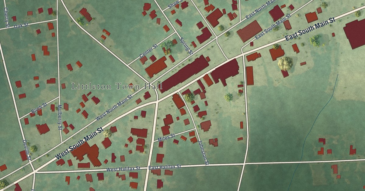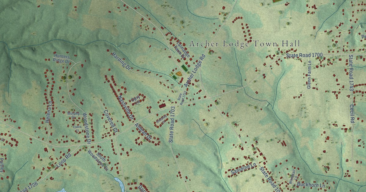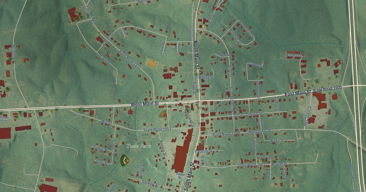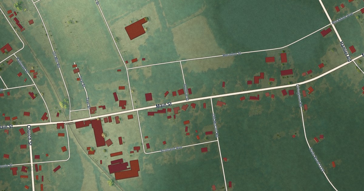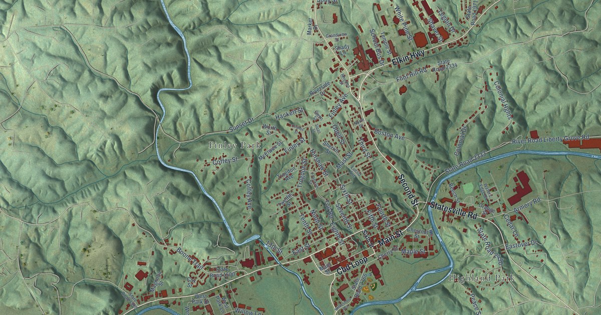
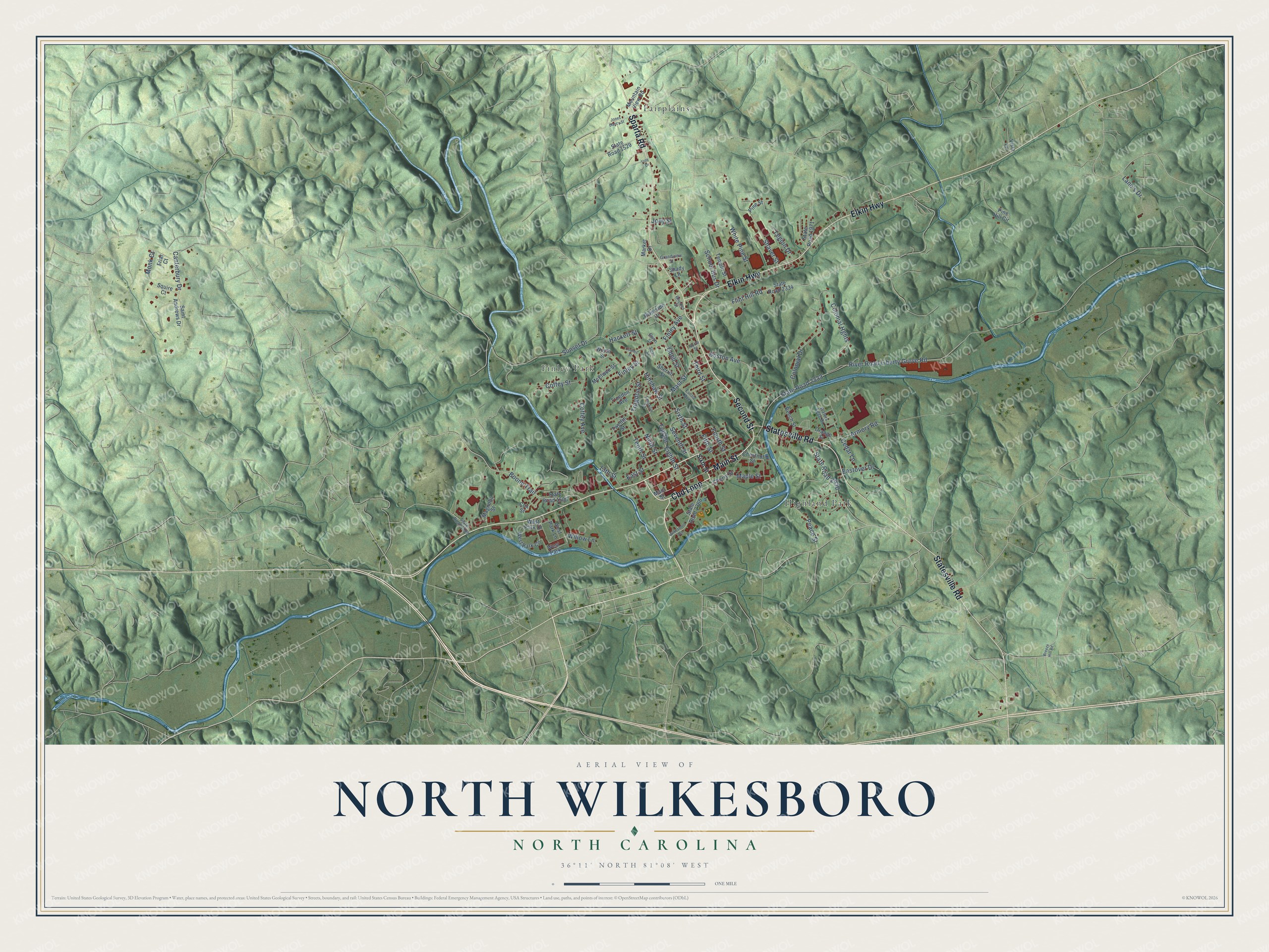
This beautifully detailed map of North Wilkesboro, North Carolina was created in 2026 using aerial imagery combined with modern topographical, census, street and landmark data. It's a modern aerial view of North Wilkesboro in Wilkes County, North Carolina, that combines modern data with a vintage aesthetic. The roads feature printed names, and if you look closely you can find your exact house accurately shown in its correct location.
Explore an aerial view of North Wilkesboro, North Carolina
On this map you'll find Fairplains, Finley Park, Highland Park, Elkin Highway, Main Street, Second Street, Sparta Road, Statesville Road, Cbd Loop, Sixth Street, Boone Trail, Mast Street, and more. Each red shape is a building, so zoom in on the preview and look for yours.
North Wilkesboro has a story worth telling. The record at dncr.nc.gov puts it this way: ") The season’s finale, including the crowning of the first points champion, Red Byron, took place on October 16, 1949, at North Wilkesboro."
North Wilkesboro is a town in Wilkes County. The Census Bureau counted 4,382 people here in 2020.
Take a closer look at the North Wilkesboro map
Names on this map
These names are printed on this map.
Places: Fairplains, Finley Park, Highland Park and West Park.
Streets and roads: Elkin Highway, Main Street, Second Street, Sparta Road, Statesville Road, Cbd Loop, Sixth Street, Boone Trail, Mast Street, Maple Street, Fifth Street, Flint Hill Road.
More street names, A to Z
13th Street, Armory Road, Beech Street, Boston Avenue, Breeze Hill Road, Canterbury Drive, Cedar Lane, Cherry Street, Chestnut Street, Coffey Avenue, Coffey Street, Colonial Drive, Colonial Hghts, Cowles Street, Cox Street, Eastover Drive, East Street, Eighth Street, Euclid Avenue, Finley Avenue, Finley Street, Fourth Street, Franklin Street, Friar Court, Grandview Street, Gwyn Street, Hackett Street, Hinshaw Street, Jolly Street, Jones Dancy Street, Lane's Drive, Legion Drive, Magnolia Street, Market Drive, McElwee Street, Monk Court, Mountain View Road, Ninth Street, North Street, Odell Street, Orange Street, Peace Street, Pine Hill Circle, Pine Street, Rhodes Street, River Road Liberty Grove Road, Riverside Drive, Saint Andrews Drive, School Bus Drive, Seventh Street, Shady Lane, Shaver Street, Sherrill Street, Sloan Street, Squire Court, State Road 1500, State Road 1509, State Road 1529, State Road 1971, State Road 2333, State Road 2334, State Road 2366, State Road 2450, Sunset Drive, Temple Street, Tenth Street, Third Street, Toll Road, Trogdon Avenue, Trogdon Street, Troy Drive, Twelfth Street, Vista Lane, Waters Edge Drive, West Park Circle, West Park Drive, West Park Lane, White Pine Street, Wilkesboro Avenue, Willow Lane, Worth Street.
Created by KNOWOL in 2026. The buildings are small red shapes, the roads carry their printed names, and shaded relief shows the shape of the land. The title panel reads "AERIAL VIEW OF NORTH WILKESBORO NORTH CAROLINA" with 36°11' NORTH 81°08' WEST.
It looks right in a kitchen, an office or a den, and it's a gift for anyone who grew up in North Wilkesboro or moved away. Open the preview and find your street. See sizes and frames for the North Wilkesboro map.