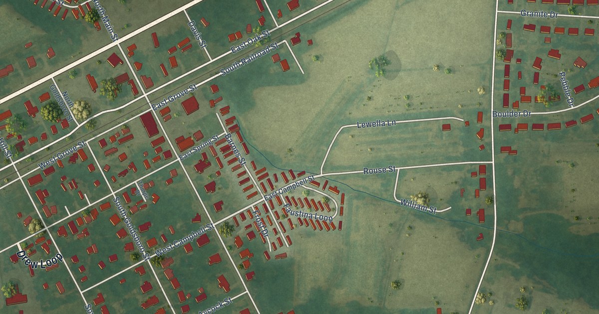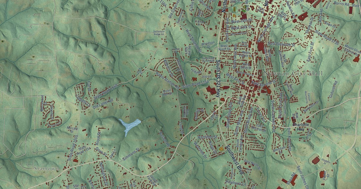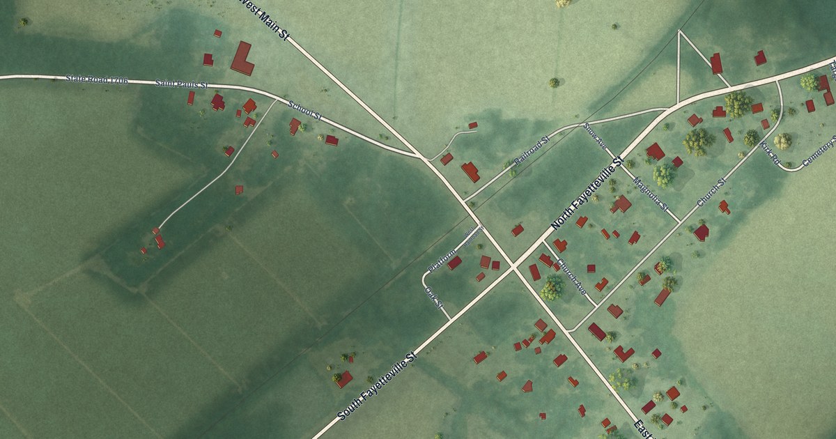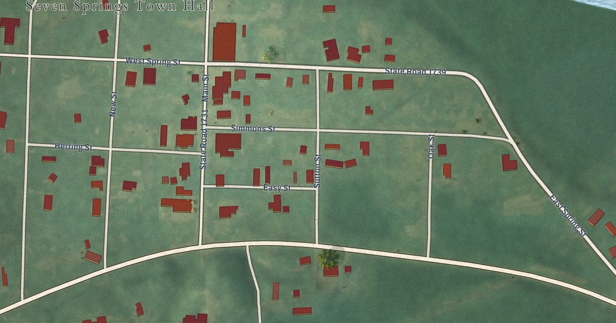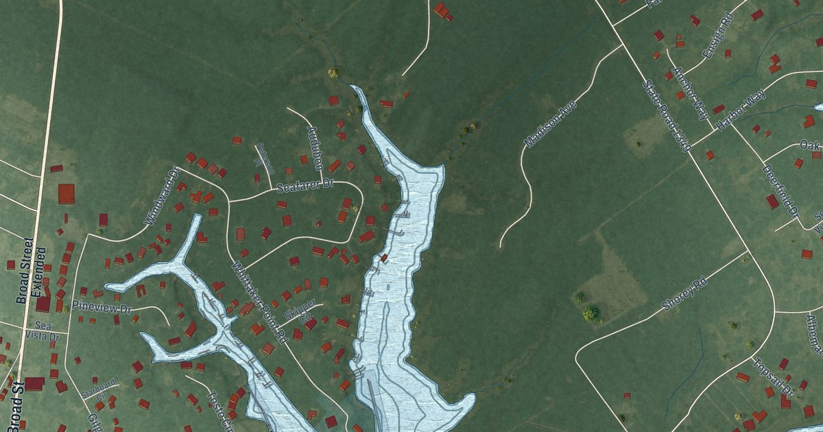
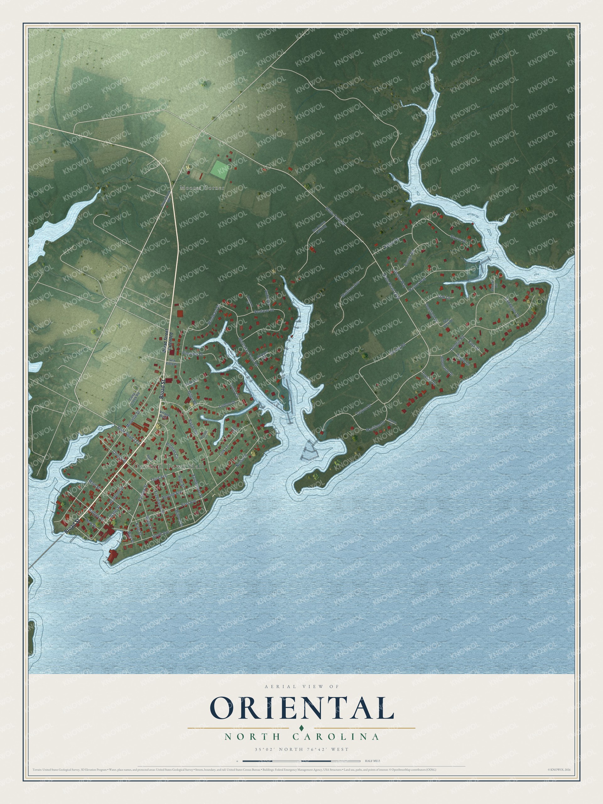
This beautifully detailed map of Oriental, North Carolina was created in 2026 using aerial imagery combined with modern topographical, census, street and landmark data. It's a modern aerial view of Oriental in Pamlico County, North Carolina, that combines modern data with a vintage aesthetic. The roads feature printed names, and if you look closely you can find your exact house accurately shown in its correct location.
Explore an aerial view of Oriental, North Carolina
On this map you'll find Oriental Town Hall, Moores Corner, Broad Street, Factory Street, Third Avenue, Vandemere Street, Windward Drive, State Road 1349, White Farm Road, Midyette Street, Dolphin Road, Whittaker Point Road, and more. Each red shape is a building, so zoom in on the preview and look for yours.
Oriental has a story worth telling. The North Carolina Gazetteer puts it this way: "Later renamed for the Federal transport Oriental, which sank in 1862 near Bodie Island. The ship's nameplate had been found by Rebecca Midgett, wife of the town's first settler."
Oriental is a town in Pamlico County. The Census Bureau counted 880 people here in 2020.
Take a closer look at the Oriental map
Names on this map
These names are printed on this map.
Places: Oriental Town Hall and Moores Corner.
Streets and roads: Broad Street, Factory Street, Third Avenue, Vandemere Street, Windward Drive, State Road 1349, White Farm Road, Midyette Street, Dolphin Road, Whittaker Point Road, Mildred Street, Neuse Drive.
More street names, A to Z
Academy Street, Albemarle Drive, Anchor Way, Apple Lane, Audubon, Bogue Drive, Broad Street Extended, Camp Creek Road, Church Street, Deerfield Drive, Easy Street, Ensign Road, Falcon Drive, First Avenue, Freemason Street, Gilgo Road, Gull Circle, Harbor Way, High Street, Hodges Street, King Street, Link Lane, Lupton Drive, Madison Avenue, Main Street, Maritime Drive, Neuse Street, New Street, Norman Circle, Oak Lane, Pelican Circle, Peterson Place, Pineview Drive, Pittman Circle, Ragan Road, Sandpiper Drive, Seafarer Drive, Sea Horse Landing, Sea View Drive, Sea Vista Drive, Second Avenue, Shorey Court, Shorey Road, Silverbrook Road, Skipper Circle, South Avenue, Starboard Circle, State Road 1317, Styron Drive, Tarpon Drive, Topsail Drive, Tosto Circle, Village Rest, Wall Street, Water Street.
Created by KNOWOL in 2026. The buildings are small red shapes, the roads carry their printed names, and shaded relief shows the shape of the land. The title panel reads "AERIAL VIEW OF ORIENTAL NORTH CAROLINA" with 35°02' NORTH 76°42' WEST.
It looks right in a kitchen, an office or a den, and it's a gift for anyone who grew up in Oriental or moved away. Open the preview and find your street. See sizes and frames for the Oriental map.