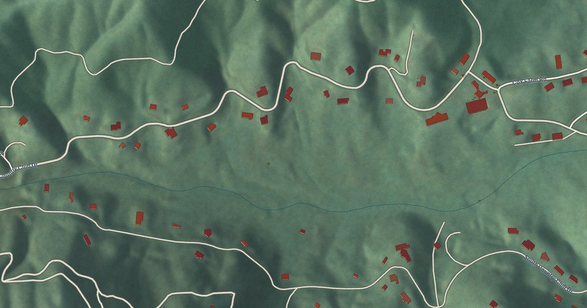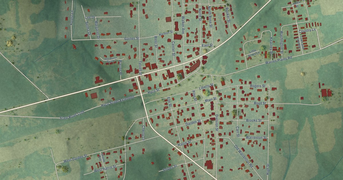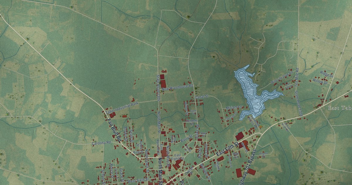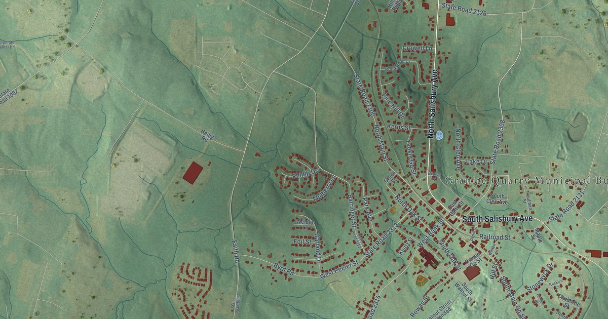
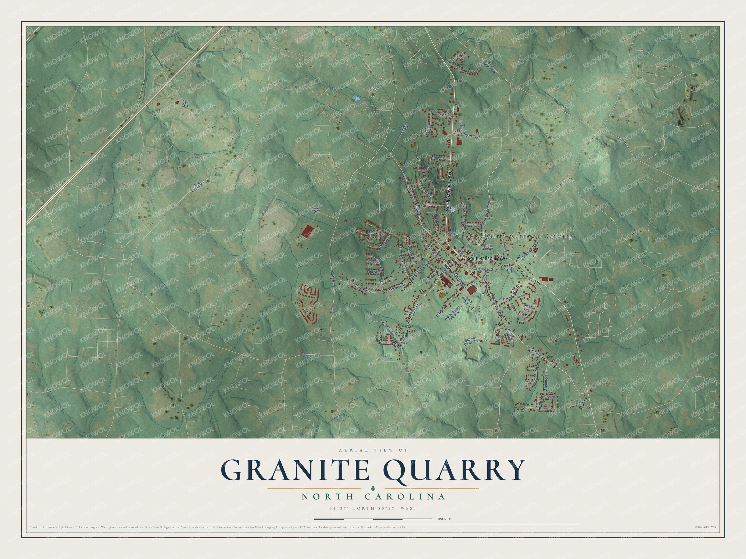
This beautifully detailed map of Granite Quarry, North Carolina was created in 2026 using aerial imagery combined with modern topographical, census, street and landmark data. It's a modern aerial view of Granite Quarry in Rowan County, North Carolina, that combines modern data with a vintage aesthetic. The roads feature printed names, and if you look closely you can find your exact house accurately shown in its correct location.
Explore an aerial view of Granite Quarry, North Carolina
On this map you'll find Granite Quarry Municipal Building, North Salisbury Avenue, South Salisbury Avenue, West Bank Street, State Road 2308, Coley Road, South Main Gq Street, North Oak Street, State Road 2300, State Road 2313, State Road 2314, North Main Street, and more. Each red shape is a building, so zoom in on the preview and look for yours.
Here is a piece of Granite Quarry history, in the words of the record. The record at dncr.nc.gov puts it this way: "Built 1766 by Michael Braun. One of the few remaining Pennsylvania German stone houses in North Carolina. Stands 1/2 mile N.E."
Granite Quarry is a town in Rowan County. The Census Bureau counted 2,984 people here in 2020.
Take a closer look at the Granite Quarry map
Names on this map
These names are printed on this map.
Places: Granite Quarry Municipal Building.
Streets and roads: North Salisbury Avenue, South Salisbury Avenue, West Bank Street, State Road 2308, Coley Road, South Main Gq Street, North Oak Street, State Road 2300, State Road 2313, State Road 2314, North Main Street, West Peeler Street.
More street names, A to Z
Asa Lane, Balfour Quarry Road, Barringer Street, Birch Street, Brookstone Way, Brookwood Drive, Brown Street, Byrd Road, Claiborne Street, Corporate Center Drive, Crane Creek, Crook Street, Crowell Lane, Depot Street, East Bank Street, Elm Street, Faith Road, Foil Street, Garland Drive, Gentry Place, Granite Street, Heilig Road, Hillcrest Ridge Drive, Hill Street, Janis Lane, Julian Road, Juniper Street, Kenton Place, Kerns Street, Kluttz Street, Lake Drive, Legion Club Road, Loganberry Lane, Maple Street, Mulberry Lane, North Cleo Avenue, Old Route 80, Park Avenue, Phillip Drive, Pine Hill Drive, Railroad Street, Rocklyn Lane, Rowan Gq Street, Rowan Street, Saint Paul Church Road, South Cleo Avenue, South Oak Street, South Walnut Street, State Road 1002, State Road 1004, State Road 1006, State Road 2126, State Road 2131, State Road 2312, State Road 2385, Stonewyck Drive, Sycamore Street, Timber Run Drive, Troutman Street, Veronica Lane, Walnut Street Extended, Walton Street, Weldon Lane, Yadkin Gq Street, Yost Farm Road.
Created by KNOWOL in 2026. The buildings are small red shapes, the roads carry their printed names, and shaded relief shows the shape of the land. The title panel reads "AERIAL VIEW OF GRANITE QUARRY NORTH CAROLINA" with 35°37' NORTH 80°27' WEST.
It suits a den, a classroom or a front hall, and it makes a gift for anyone with Granite Quarry roots. Open the preview and find the block you know. See sizes and frames for the Granite Quarry map.