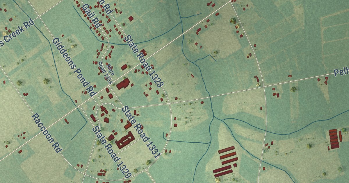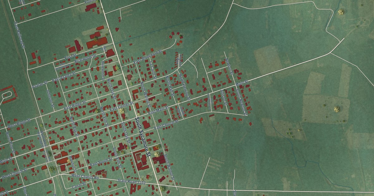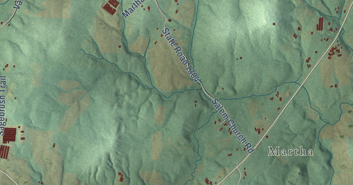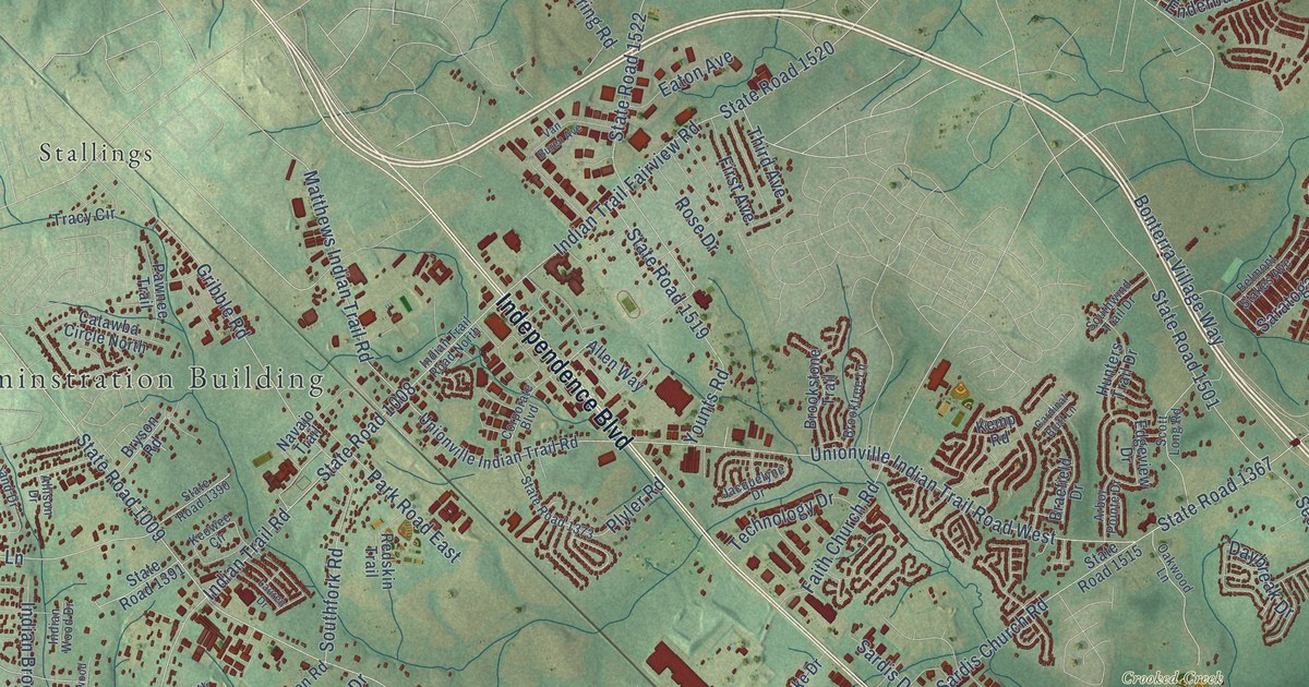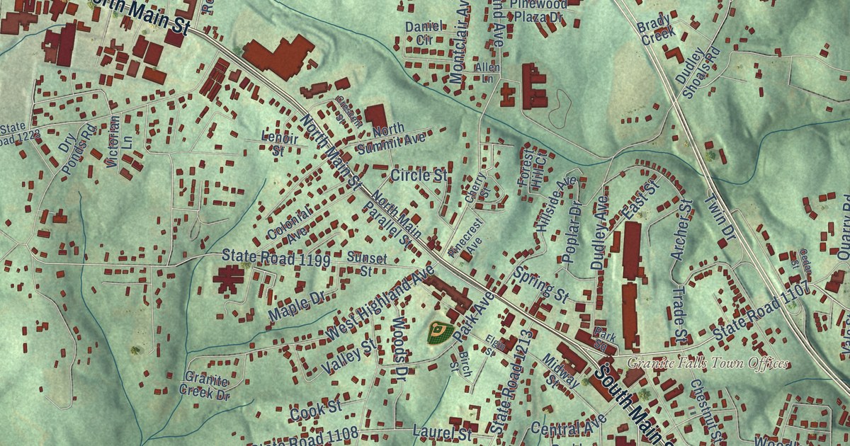
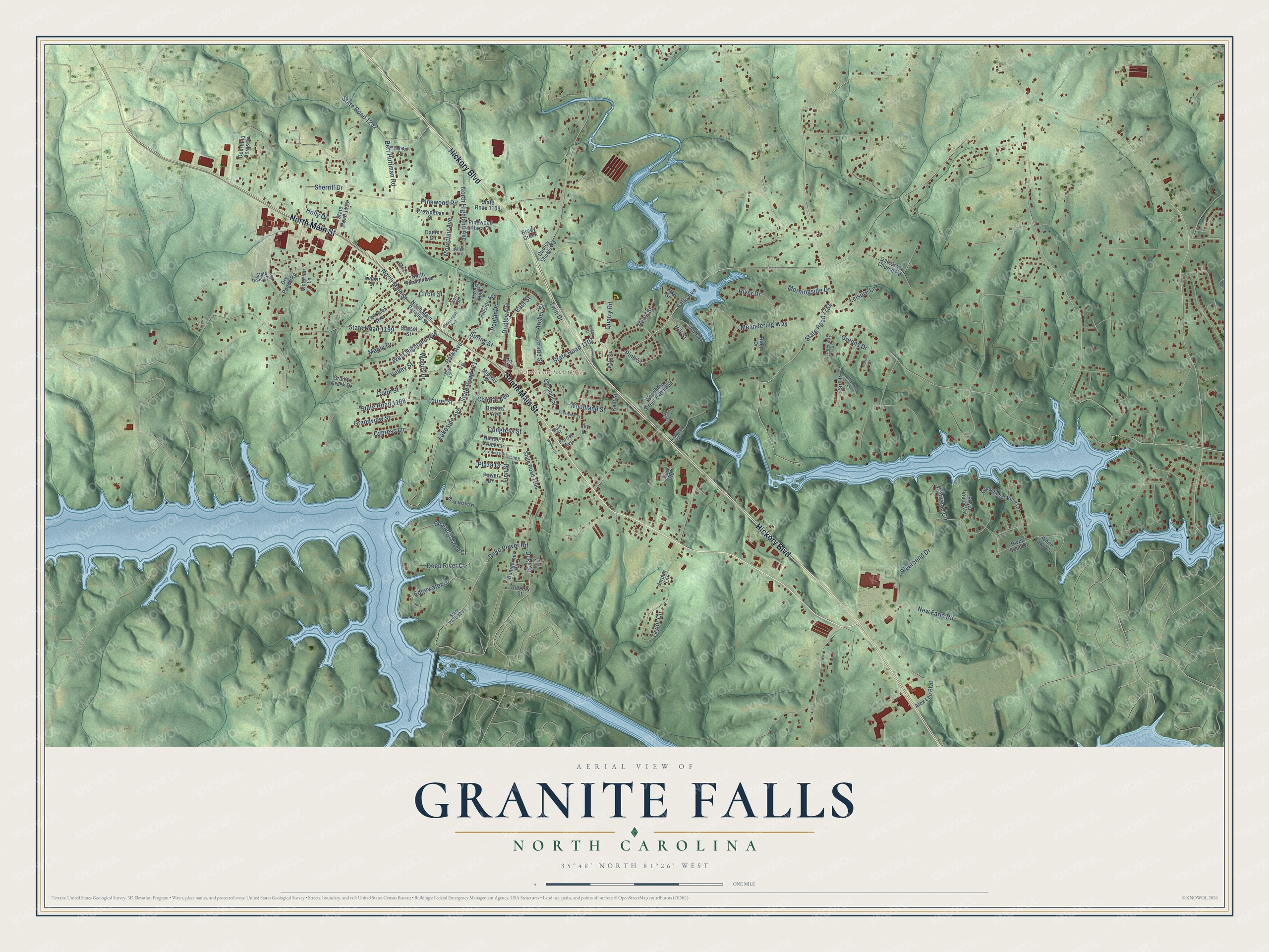
This beautifully detailed map of Granite Falls, North Carolina was created in 2026 using aerial imagery combined with modern topographical, census, street and landmark data. It’s a one-of-a-kind view of Granite Falls that combines accurate data with a vintage aesthetic. The map shows every building in its true location, many of the roads carry their names, and the shaded topographic relief shows the shape of the land.
Explore an aerial view of Granite Falls, North Carolina
On the map you’ll find South Main Street, North Main Street, Hickory Boulevard, State Road 1107, Falls Avenue, State Road 1754, State Road 1106, Duke Street, New Farm Road, Gunpowder View Circle, North Highland Avenue, West Highland Avenue, and more. If you look closely you can even find your house accurately drawn in its correct location. Zoom in on the preview to look for yours.
Did you know this piece of Granite Falls, North Carolina history?
From the John Ellis Coulter Small-Town Businessman: "In 1887 its name was changed to Granite, and the next year to Granite Falls."
Take a closer look at the Granite Falls map
Street and place names on the Granite Falls, North Carolina map
These names are printed on the map of Granite Falls, North Carolina.
Places: Granite Falls Town Offices.
Streets and roads: North Main Street, South Main Street, Hickory Boulevard, State Road 1107, Falls Avenue, Duke Street, New Farm Road, State Road 1252, North Highland Avenue, West Highland Avenue, State Road 1754, Meandering Way.
More street names, A to Z
Alex Lee Boulevard, Allen Lane, Archer Street, Barnes Drive, Berkley Avenue, Bert Huffman Road, Birch Street, Brady Creek, Broadwater Drive, Bumgarner Road, Cedar Street, Central Avenue, Cherry Street, Chestnut Street, Circle Street, Cline Drive, Colonial Avenue, Congress Street, Cook Street, Crescent Street, Crestview Street, Cypress Lane, Dam Street, Daniel Circle, Deep River Court, Deerfield Acres Drive, Dry Ponds Road, Dudley Avenue, Dudley Shoals Road, Duke Power Road, East Street, Edgewater Court, Elgin Street, Finn Street, Forest Avenue, Forest Hill Court, Fox Ridge Drive, Grandview Street, Granite Creek Drive, Greens Drive, Greenway Drive, Gunpowder View Circle, Heritage Drive, Hickory Street, Hillside Avenue, Hill Street, Holly Drive, Hunter's Creek Lane, Ivy Lane, Jordan Lane, Kent Street, Lake Hickory Place, Lakeside Avenue, Lake Street, Laurel Street, Leisure Lane, Lenoir Street, Mallard Court, Maple Drive, Midway Street, Montclair Avenue, Morningside Drive, Moss Circle, North Main Parallel Street, North Summit Avenue, Oak Grove Church Road, Par Drive, Park Avenue, Park Square, Peaceful Cove Court, Pearl Street, Pinecrest Avenue, Pine Street, Pinewood Plaza Drive, Pinewood Road, Plaza Drive, Poplar Drive, Power Drive, Providence Street, Quarry Road, Ridge Drive, Riverbend Drive, River Bend Drive, River Drive, Royal Vista Way, Sherrill Drive, Short Street, Spring Street, State Road 1105, State Road 1106, State Road 1108, State Road 1109, State Road 1110, State Road 1199, State Road 1213, State Road 1223, Sunset Street, Taylor Circle, Trade Street, Twin Drive, Vale Street, Valley Street, Victorian Lane, Walnut Street, Waterford Court, White Fawn Circle, Winwood Circle, Woodlane Street, Woodlane Street Extended, Woods Drive, York Road.
See the Granite Falls, North Carolina map on a wall
The Granite Falls map as an 18 x 24 inch print in a black frame.

This beautifully detailed map of Granite Falls makes an attractive addition to your office, library, or den, and it can even be used to teach children the geography and history of the area. It also makes a great gift for anyone who grew up in Granite Falls or moved away. When you’re done exploring, click here to get your copy of the Granite Falls map.