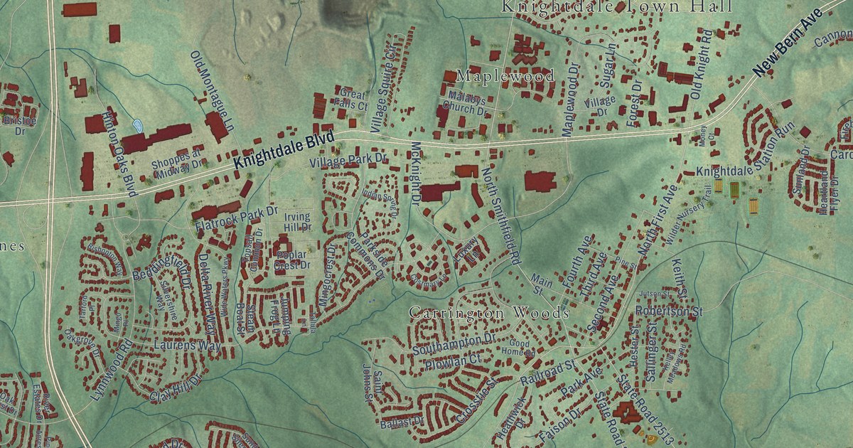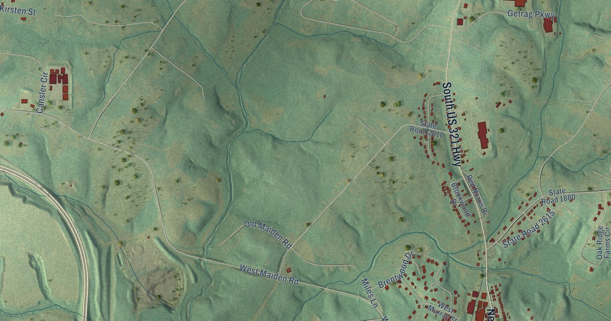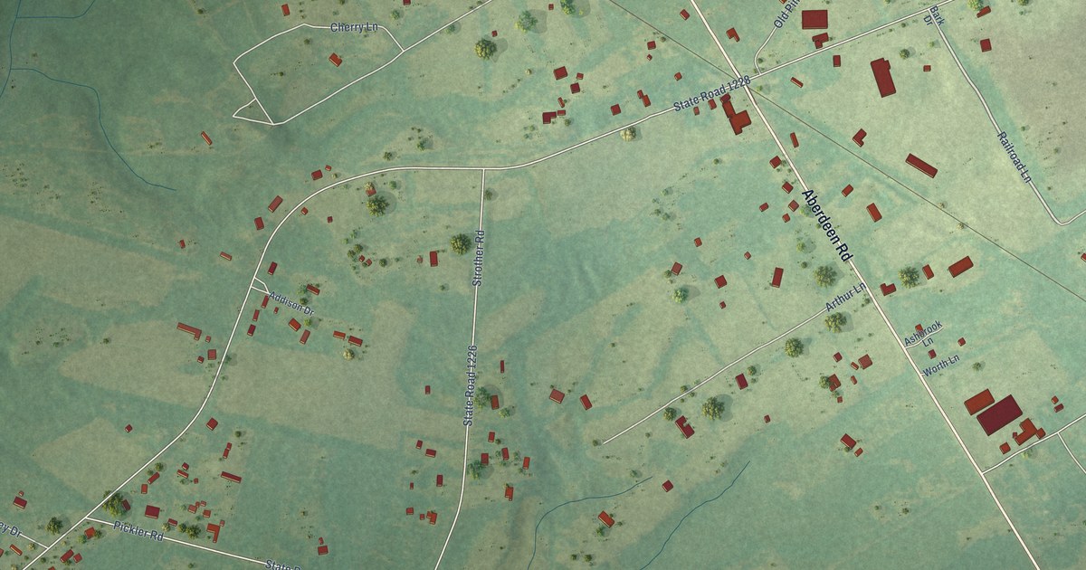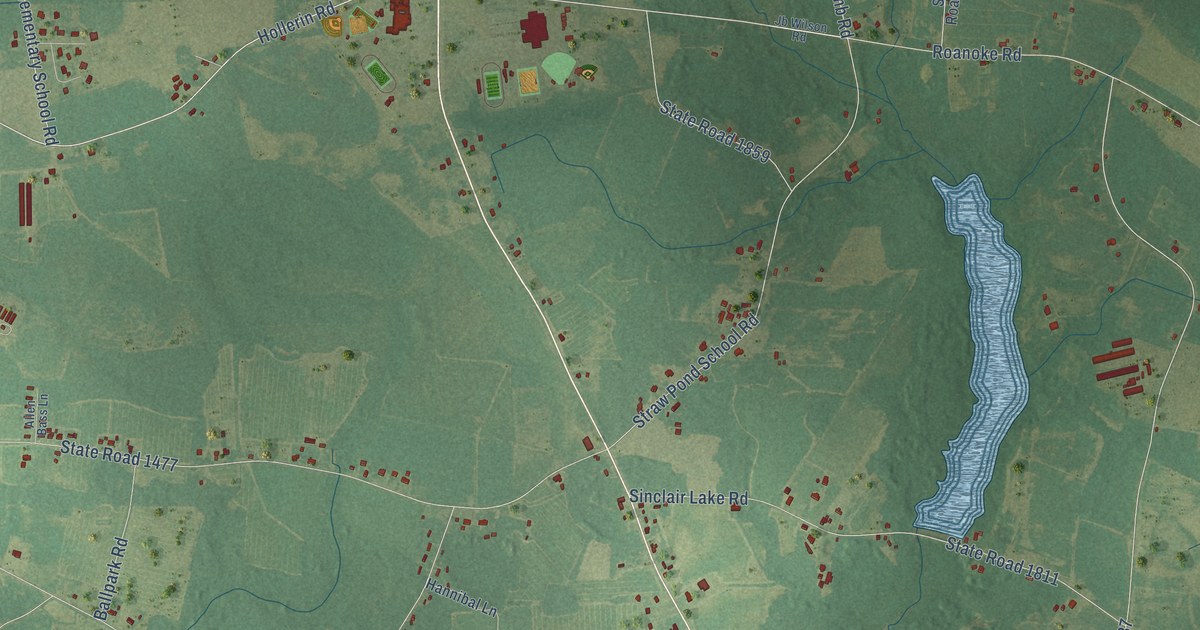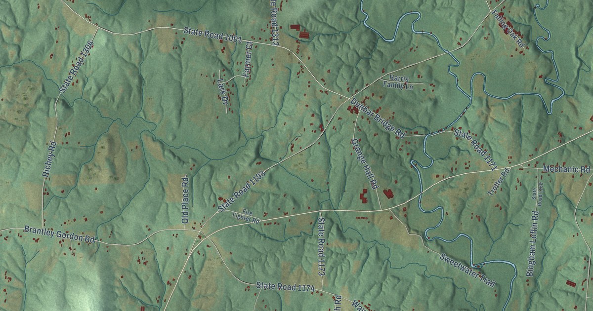
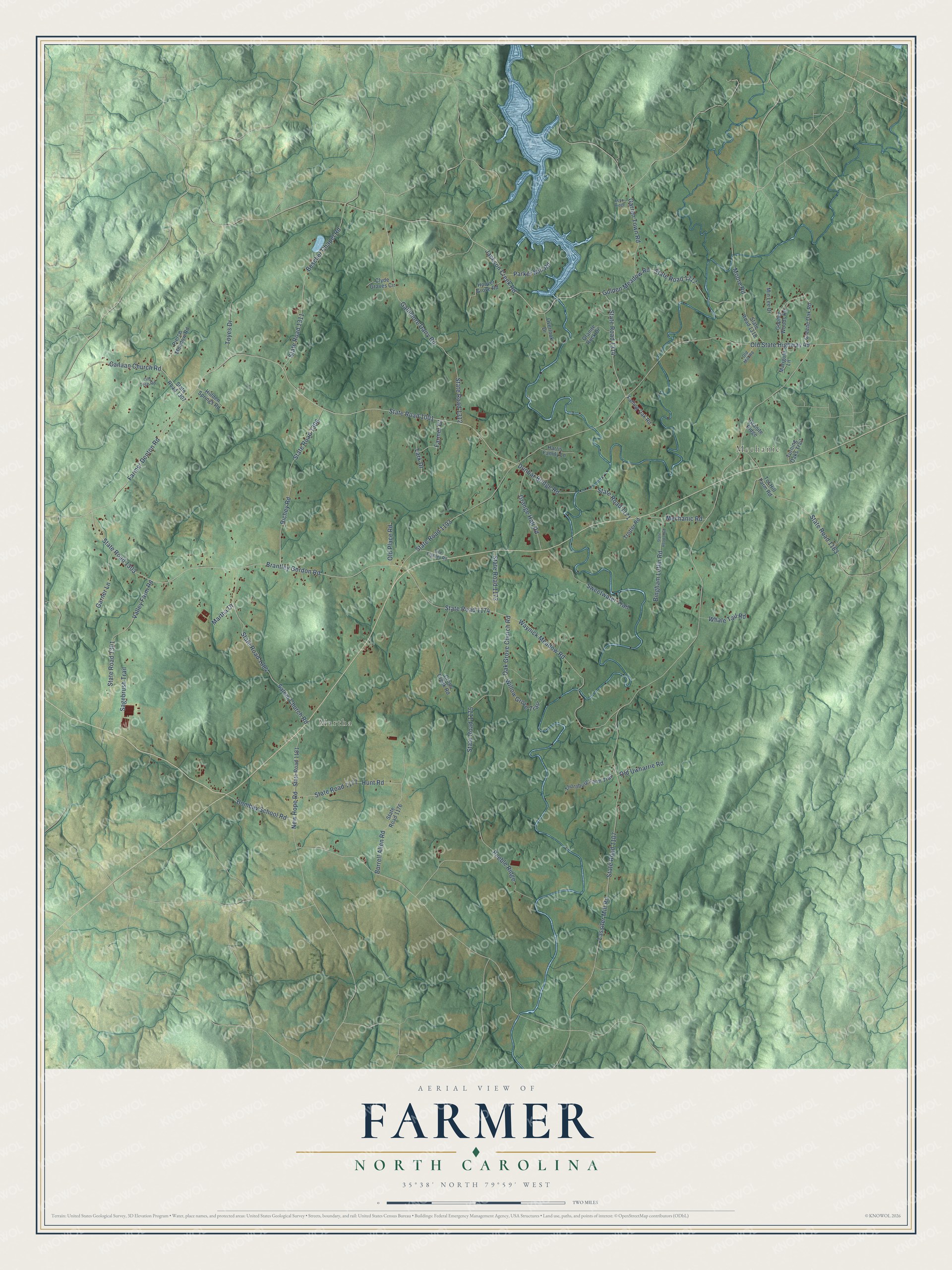
This beautifully detailed map of Farmer, North Carolina was created in 2026 using aerial imagery combined with modern topographical, census, street and landmark data. It’s a one-of-a-kind view of Farmer that combines accurate data with a vintage aesthetic. The map shows every building in its true location, many of the roads carry their names, and the shaded topographic relief shows the shape of the land.
Explore an aerial view of Farmer, North Carolina
On the map you’ll find Mechanic and Martha, along with Canaan Church Road, State Road 1001, Farmer Denton Road, Brantley Gordon Road, State Road 1303, Jackson Creek Road, State Road 1314, Lassiter Mill Road, State Road 1107, Old State Highway 49, and more. If you look closely you can even find your house accurately drawn in its correct location. Zoom in on the preview to look for yours.
Take a closer look at the Farmer map
Names on this map
These names are printed on this map.
Places: Mechanic and Martha.
Streets and roads: Canaan Church Road, State Road 1001, Farmer Denton Road, Brantley Gordon Road, State Road 1303, Jackson Creek Road, State Road 1314, Lassiter Mill Road, State Road 1107, Old State Highway 49, State Road 1193, Oak Grove Church Road.
More street names, A to Z
Bescher Chapel Road, Bingham Loflin Road, Bombay School Road, Burrell Allen Road, Clyde Graves Circle, Cross Creek Road, Dunbar Bridge Road, Echo Ridge, Falling Oak Road, Farmer Court, Fire Fighter Road, Gallimore Dairy Road, Garner Lane, Garren Town Road, Golden Meadow Road, Gopher Woods Road, Grange Hall Road, Granite Ridge, Granite Rock Drive, Greene Oak Road, Harris Family Lane, Hidden Springs Road, Hoover Grove Road, Hunt Road, Lark Drive, Marigold Lane, Martha Drive, Mechanic Road, Min Lee Drive, Moore Road, New Hope Road, Old Mill Road, Old Place Road, Old Tree Road, Old Uwharrie Road, Overlook Drive, Parker Mill Road, Peeble Ridge, Pierce Meadow Road, Richey Road, Sagebrush Trail, Salem Church Road, State Road 1163, State Road 1168, State Road 1171, State Road 1173, State Road 1174, State Road 1175, State Road 1176, State Road 1177, State Road 1181, State Road 1301, State Road 1304, State Road 1306, State Road 1307, State Road 1311, State Road 1312, State Road 1317, State Road 1318, Sweetwater Trail, Thornburg Farm Trail, Tot Hill Farm Road, Toyes Drive, Trotter Road, Turning Oaks Trail, Valley Farm Road, Waynick Meadow Road, Whale Tail Road, Willow Grove Trail.
See it on a wall
The Farmer map as a framed print. Swipe for more.


This beautifully detailed map of Farmer makes an attractive addition to your office, library, or den, and it can even be used to teach children the geography and history of the area. It also makes a great gift for anyone with Farmer roots. When you’re done exploring, click here to get your copy of the Farmer map.