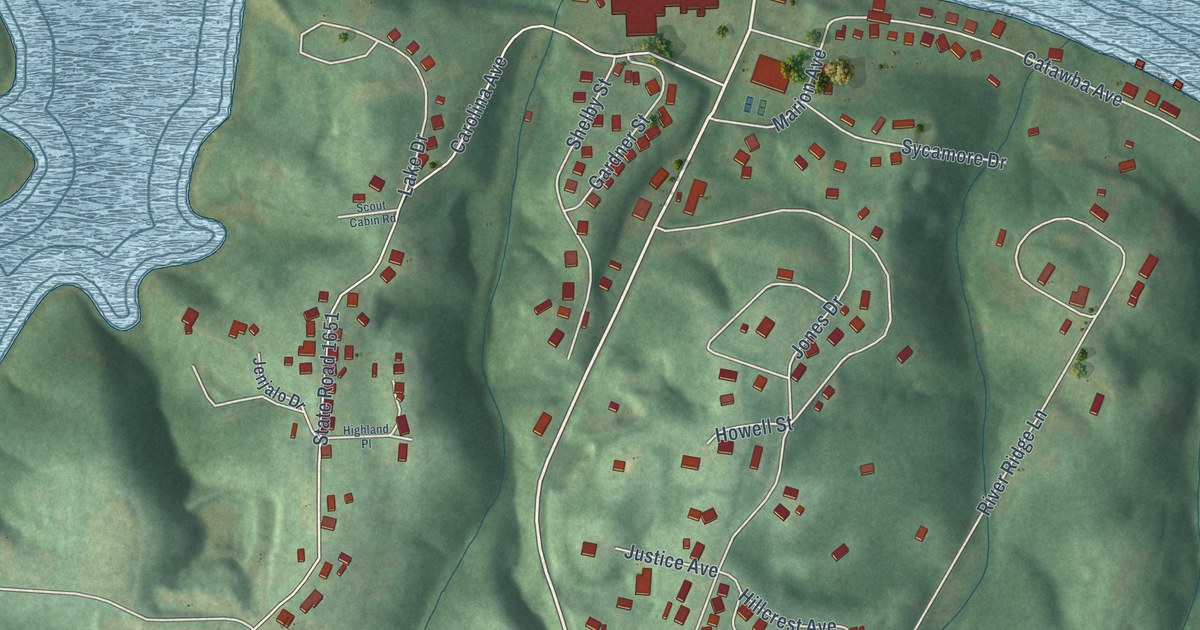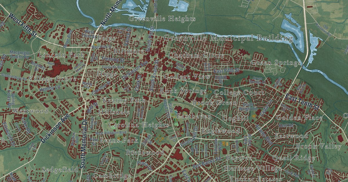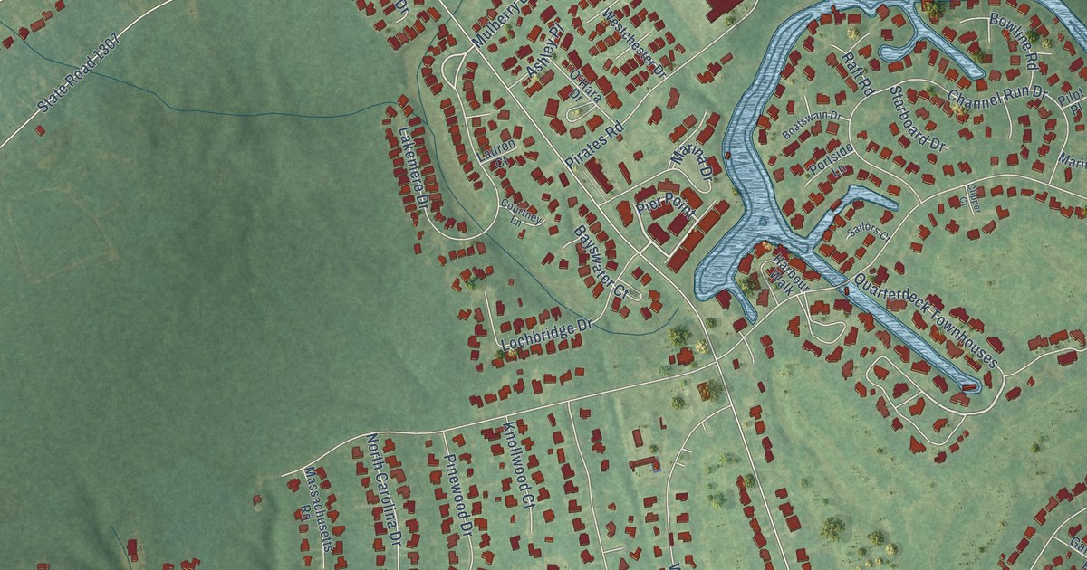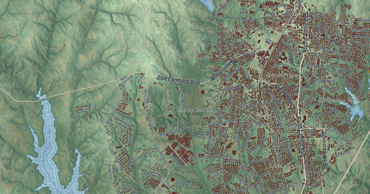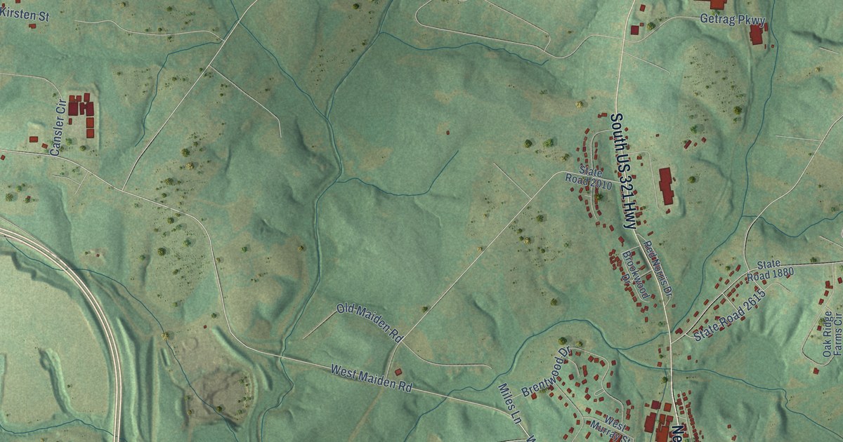
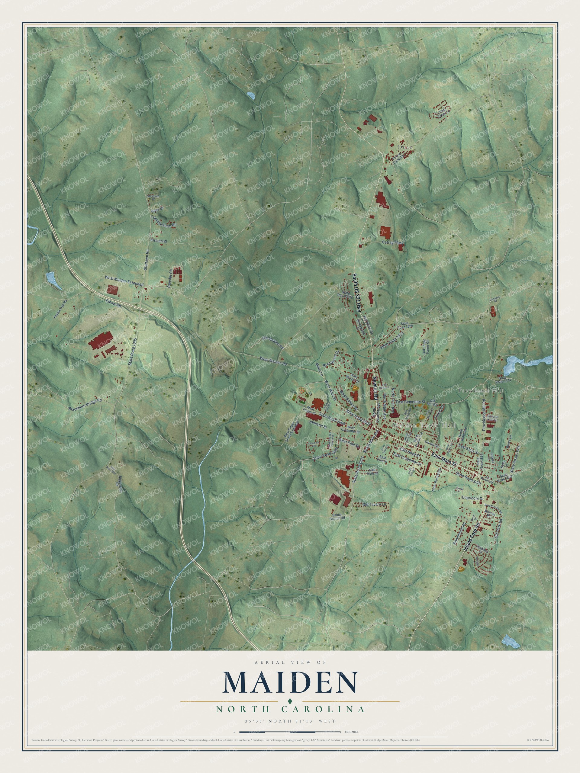
This beautifully detailed map of Maiden, North Carolina was created in 2026 using aerial imagery combined with modern topographical, census, street and landmark data. It's a modern aerial view of Maiden in Catawba County, North Carolina, that combines modern data with a vintage aesthetic. The roads feature printed names, and if you look closely you can find your exact house accurately shown in its correct location.
Explore an aerial view of Maiden, North Carolina
On this map you'll find Maiden Town Hall, Duan, Providence Mill, East Main Street, Island Ford Road, South US 321 Highway, Newton Road, State Road 2007, State Road 2003, West Main Street, West Maiden Road, South Main Avenue, and more. Each red shape is a building, so zoom in on the preview and look for yours.
Every town has a first chapter, and Maiden is no exception. The Town of Maiden puts it this way: "In the year 1881, forests of pines and oaks stood where most of Maiden has grown. These same pines and oaks were sawed at the sawmill of Jacob Propst, to furnish lumber for the first building erected as the beginning of the town. That building was a cotton mill."
Maiden is a town in Catawba County. The Census Bureau counted 3,736 people here in 2020.
Take a closer look at the Maiden map
Names on this map
These names are printed on this map.
Places: Maiden Town Hall, Duan and Providence Mill.
Streets and roads: East Main Street, Island Ford Road, South US 321 Highway, Newton Road, State Road 2007, State Road 2003, West Main Street, West Maiden Road, South Main Avenue, State Road 2615, North First Avenue, East Klutz Street.
More street names, A to Z
Biggerstaff Road, Blackburn Bridge Road, Bob Smyre Avenue, Bost Nursery Road, Brentwood Drive, Brookwood Drive, Burke Lane, Campbell Road, Cansler Circle, Capricorn Drive, Claude Drive, Clear Creek Lane, Clemmons Avenue, Drum Drive, East Avenue Southeast, East Boyd Street, East Carpenter Street, East Cemetery Street, East Holly Street, East Maiden Road, East Murray Street, East Pine Street, Elbow Road, Forest Drive, Foxwood Drive, Getrag Parkway, Hass Drive, Jasper Lane, Johnson Street, Kirsten Street, Mesquite Drive, Miles Lane, Monroe Road, Natural Knit Drive, North Carolina Avenue, North Eighth Avenue, North Fourth Avenue, North Main Avenue, North Ninth Avenue, North Third Avenue, Oak Ridge Farms Circle, Old Maiden Road, Old Mill Road, Old Park Road, Old Tavern Lane, Peytor Frye Road, Prison Camp Road, Providence Mill Road, Red Norris Drive, Robinhood Road, Ruby Lane, Salem Church Road, South East Avenue, South Fifth Avenue, South First Avenue, Springhill Lane, Startown Road, State Road 1005, State Road 1810, State Road 1868, State Road 1870, State Road 1872, State Road 1874, State Road 1880, State Road 2000, State Road 2001, State Road 2005, State Road 2008, State Road 2010, State Road 2064, Tripletts Farm Road, Union Street, West Carpenter Street, West Finger Street, West Finger Street Extended, West Maiden Extended, West Murray Street, West Pine Street, West School Street.
Created by KNOWOL in 2026. The buildings are small red shapes, the roads carry their printed names, and shaded relief shows the shape of the land. The title panel reads "AERIAL VIEW OF MAIDEN NORTH CAROLINA" with 35°35' NORTH 81°13' WEST.
Hang it in the hallway, the office or the cabin, or give it to someone who left Maiden and still calls it home. Open the preview and look for a street you know. See sizes and frames for the Maiden map.