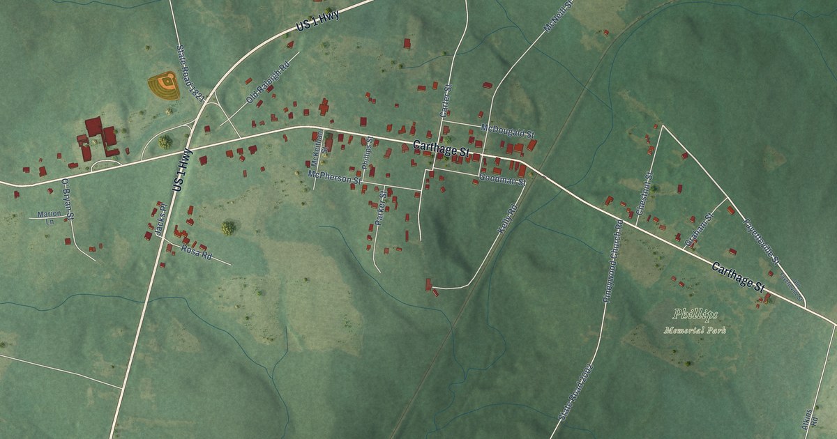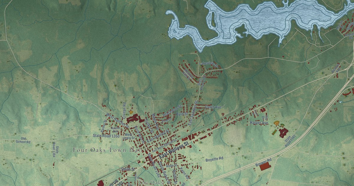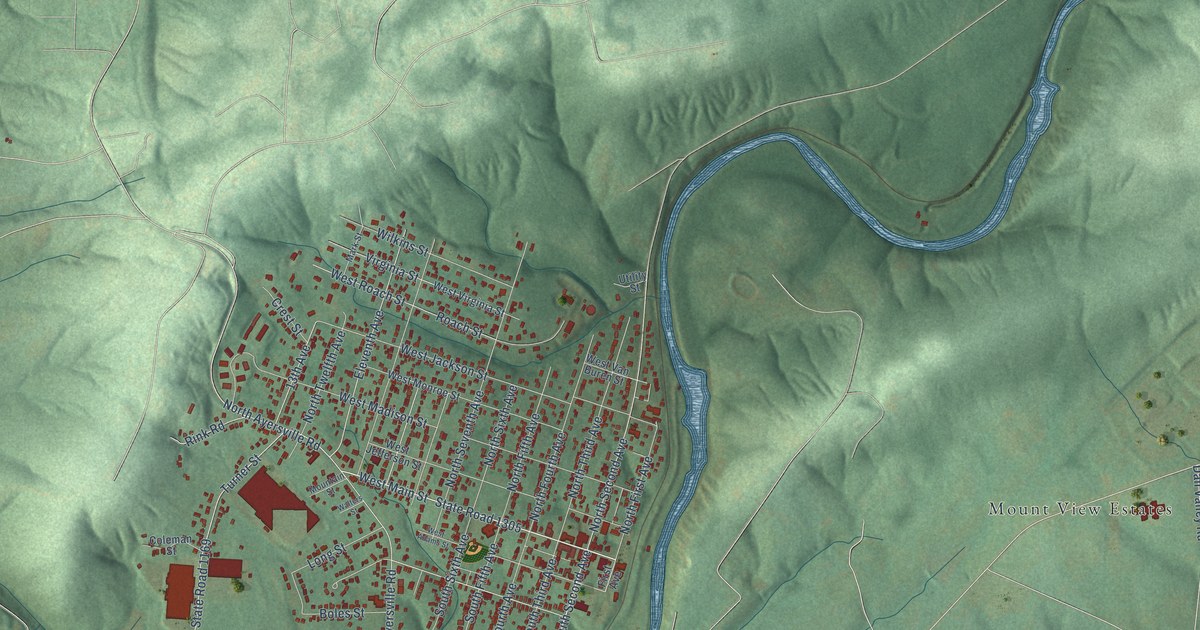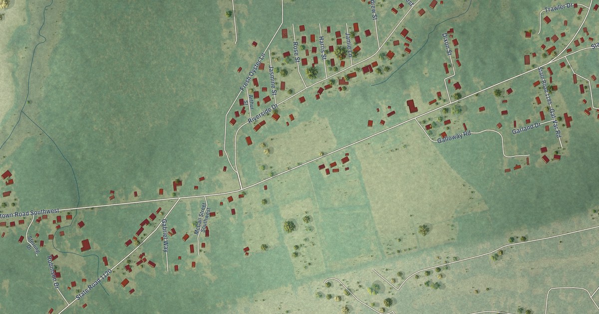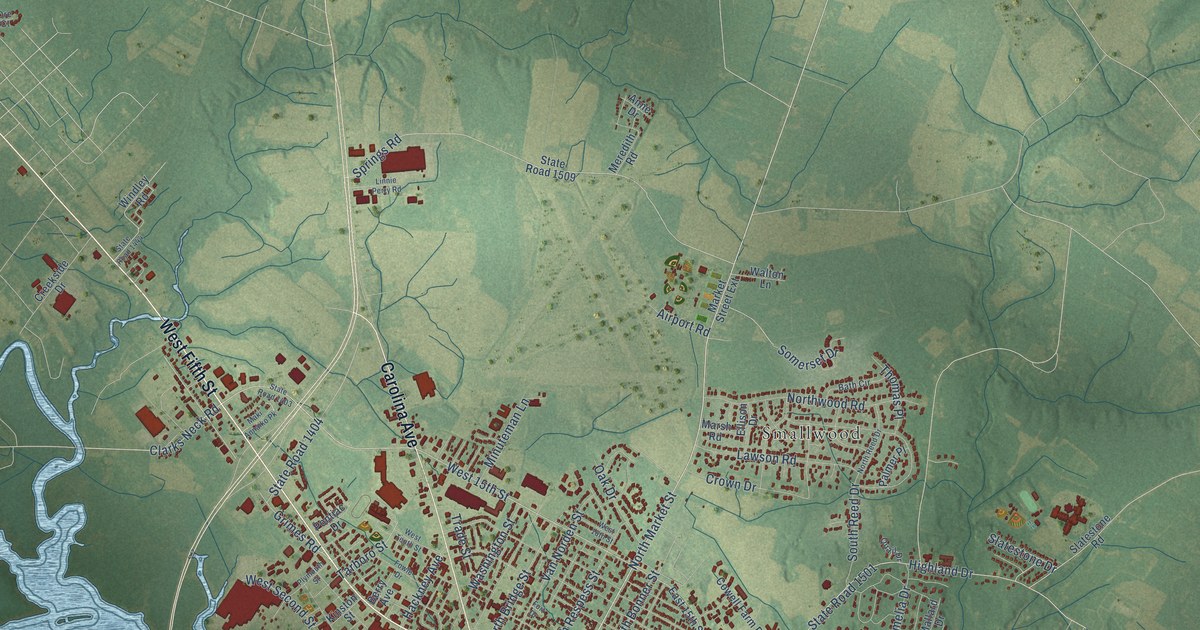
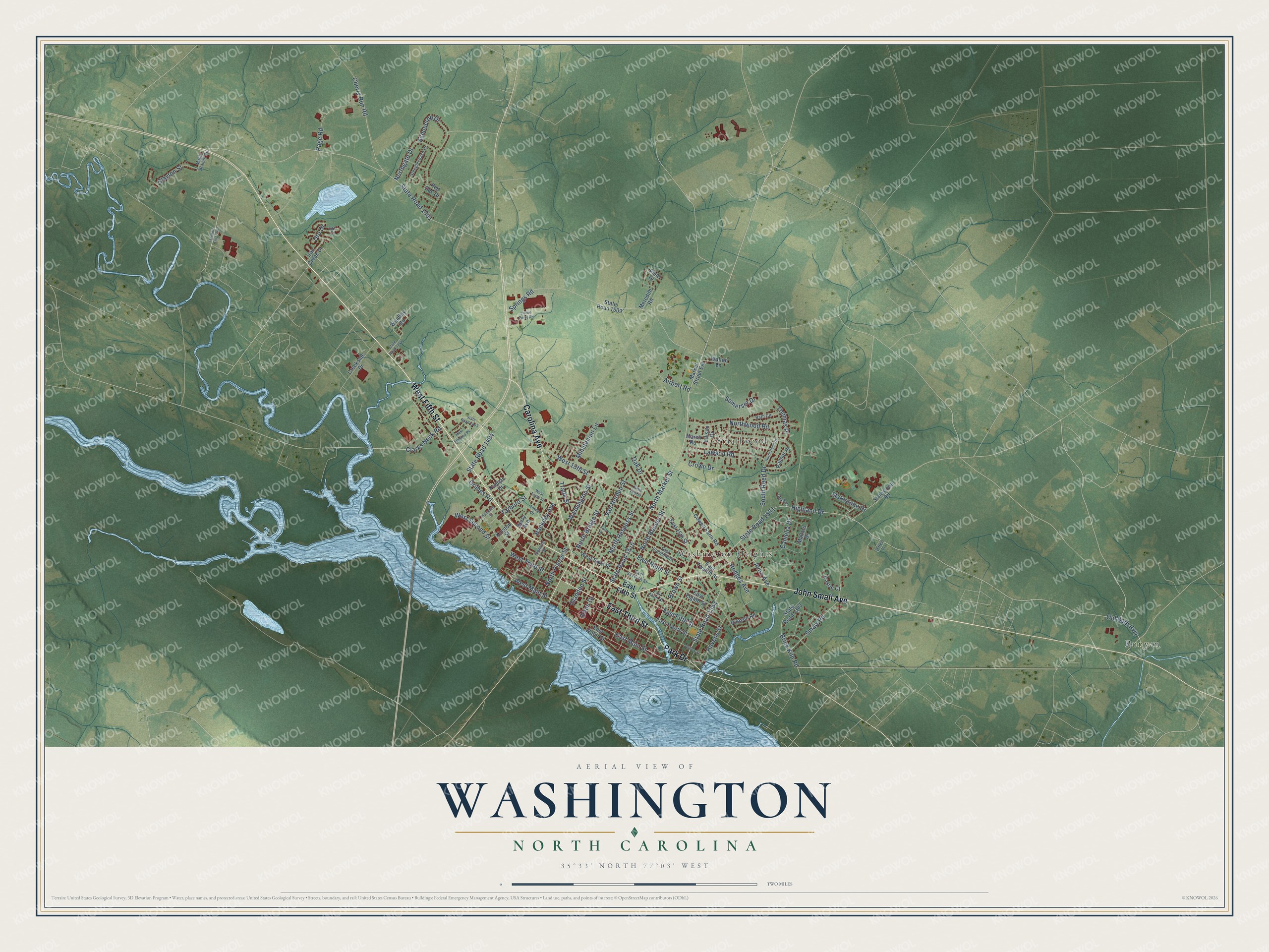
This beautifully detailed map of Washington, North Carolina was created in 2026 using aerial imagery combined with modern topographical, census, street and landmark data. It's a modern aerial view of Washington in Beaufort County, North Carolina, that combines modern data with a vintage aesthetic. The roads feature printed names, and if you look closely you can find your exact house accurately shown in its correct location.
Explore an aerial view of Washington, North Carolina
On this map you'll find Bunyan, Smallwood, Washington Heights, West Fifth Street, John Small Avenue, Carolina Avenue, Park Drive, East Third Street, North Market Street, West 15th Street, East Main Street, State Road 1352, and more. Each red shape is a building, so zoom in on the preview and look for yours.
Here is a piece of Washington history, in the words of the record. The record at ncpedia.org puts it this way: "Its county seat, since 1785, has been the city of Washington , founded in 1770s as Forks of the Tar and called Washington as early as 1776."
Washington is a city in Beaufort County. The Census Bureau counted 9,875 people here in 2020.
Take a closer look at the Washington map
Names on this map
These names are printed on this map.
Places: Bunyan, Smallwood and Washington Heights.
Streets and roads: West Fifth Street, John Small Avenue, Carolina Avenue, Park Drive, East Third Street, North Market Street, West 15th Street, East Main Street, State Road 1352, State Road 1516, West Main Street, Old Bath Highway.
More street names, A to Z
Airport Road, Anne Drive, Asheberne Drive, Avon Avenue, Bath Circle, Berry Avenue, Brick Kiln Road, Brown Street, Camelia Drive, Castle Court, Cherry Run Road, Clarks Neck Road, Clayton Street, Cowell Farm Road, Creekside Drive, Crown Drive, East 15th Street, East Eighth Street, East Eleventh Street, East Fifth Street, East Fourth Street, East Ninth Street, East Seventh Street, East Sixth Street, East Twelfth Street, East Water Street, Ellison Drive, Flanders Filter Road, Fleming Street, Fort Drive, Fowle Drive, Gladden Street, Grimes Road, Hackney Avenue, Havens Street, Highland Drive, Hodges Avenue, Iron Creek Drive, Kinston Street, Lawson Road, Linnie Perry Road, Maki Annaiko Pk, Mallard Drive, Maple Branch Road, Market Street Extension, Marsh Road, Meredith Road, Minuteman Lane, North Bonner Street, North Bridge Street, Northgate Drive, North Pierce Street, North Reed Drive, North Respess Street, Northwood Road, O'Neal Drive, Oak Drive, Ore Court, Ore Drive, Page Road, Palmer Place, Plymouth Street, Pontiac Drive, Quail Drive, Red Oak Drive, Runyon Road, Slatestone Drive, Slatestone Road, Smaw Road, Somerset Drive, South Reed Drive, Springs Road, State Road 1001, State Road 1303, State Road 1403, State Road 1404, State Road 1444, State Road 1501, State Road 1509, Steeplechase Drive, Tarboro Street, Thomas Place, Trade Street, Union Drive, Van Norden Street, Walton Lane, Washington Street, West 16th Street, West Second Street, West Sixth Street, West Tenth Street, West Third Street, Willow Street, Windley Road.
Created by KNOWOL in 2026. The buildings are small red shapes, the roads carry their printed names, and shaded relief shows the shape of the land. The title panel reads "AERIAL VIEW OF WASHINGTON NORTH CAROLINA" with 35°33' NORTH 77°03' WEST.
It suits a den, a classroom or a front hall, and it makes a gift for anyone with Washington roots. Open the preview and find the block you know. See sizes and frames for the Washington map.