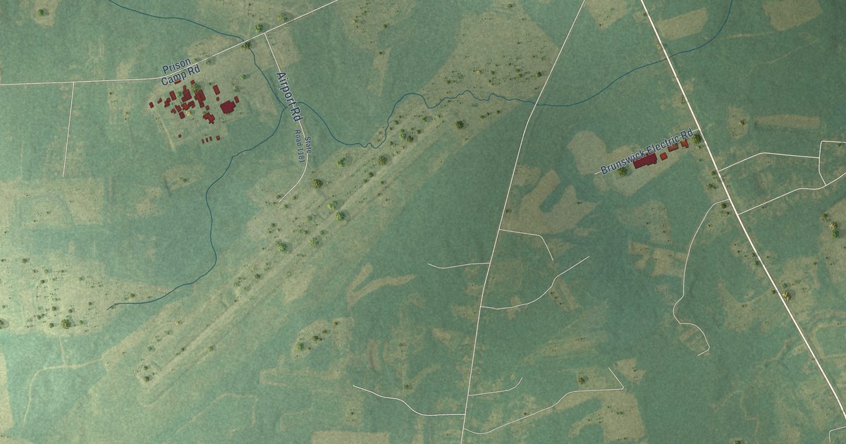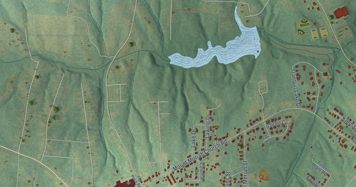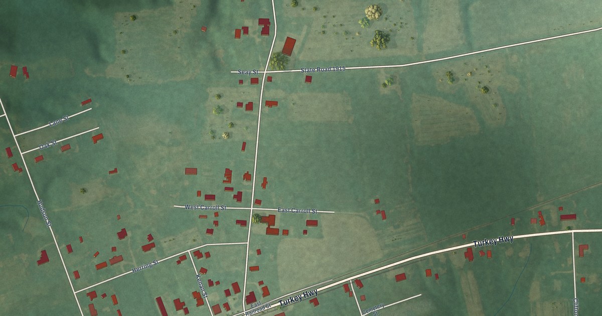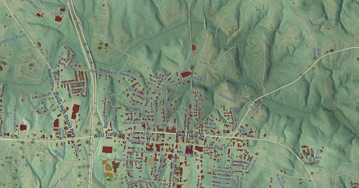
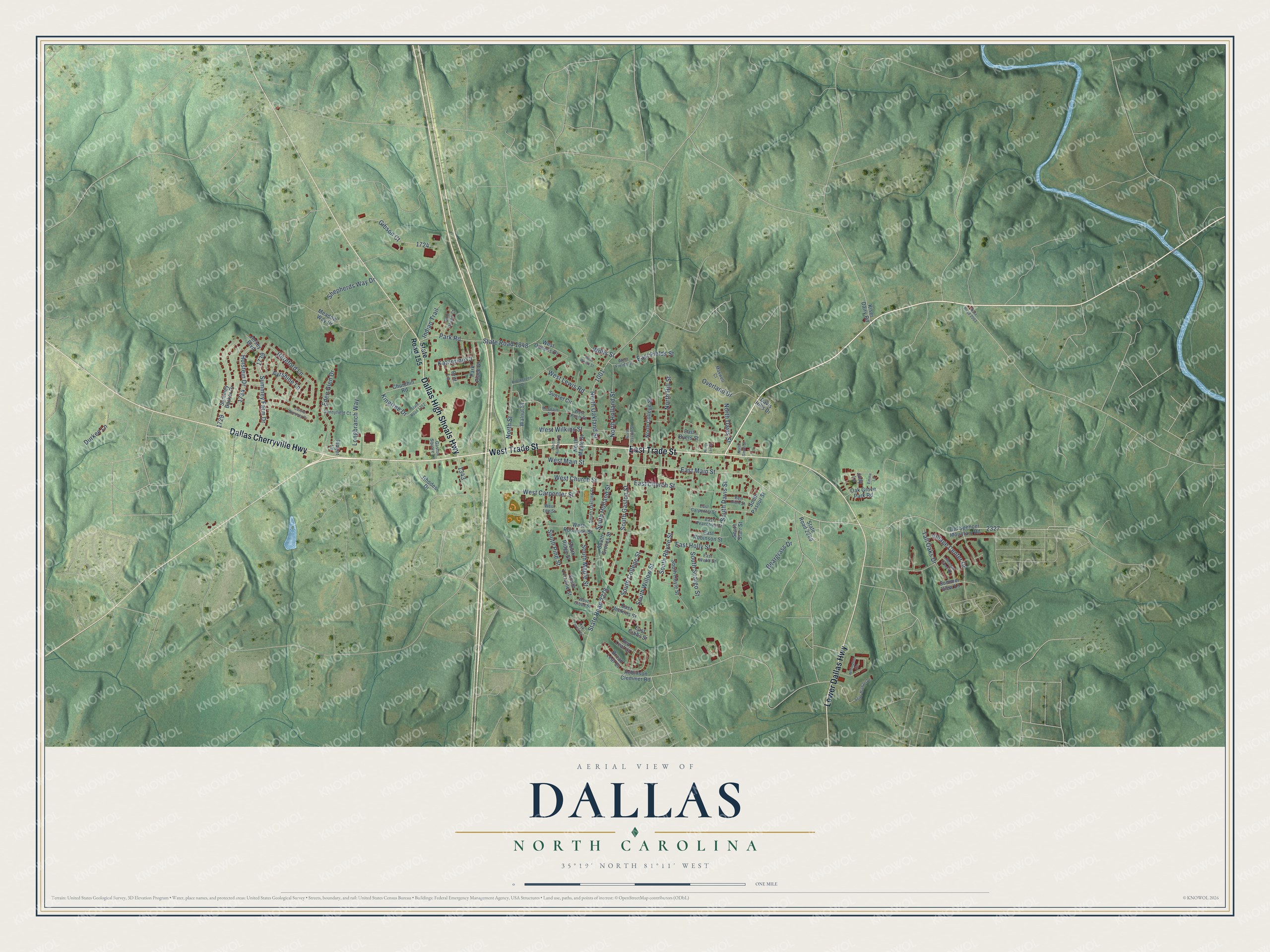
This beautifully detailed map of Dallas, North Carolina was created in 2026 using aerial imagery combined with modern topographical, census, street and landmark data. It's a modern aerial view of Dallas in Gaston County, North Carolina, that combines modern data with a vintage aesthetic. The roads feature printed names, and if you look closely you can find your exact house accurately shown in its correct location.
Explore an aerial view of Dallas, North Carolina
On this map you'll find Dallas Cherryville Highway, West Trade Street, Dallas High Shoals Highway, Lower Dallas Highway, East Trade Street, East Main Street, South Gaston Street, North Davis Street, South Davis Street, South College Street, South Rhyne Street, Kingtree Drive, and more. Each red shape is a building, so zoom in on the preview and look for yours.
Every town has a first chapter, and Dallas is no exception. The record at dncr.nc.gov puts it this way: "Built in 1852, the Hoffman House, a forty-four room hotel was one of the first businesses in Dallas."
Dallas is a town in Gaston County. The Census Bureau counted 5,927 people here in 2020.
Take a closer look at the Dallas map
Names on this map
These names are printed on this map.
Streets and roads: Dallas Cherryville Highway, West Trade Street, Dallas High Shoals Highway, Lower Dallas Highway, East Trade Street, East Main Street, South Gaston Street, North Davis Street, South Davis Street, South College Street, South Rhyne Street, Kingtree Drive.
More street names, A to Z
Ayrshine Lane, Beargrass Drive, Ben Rich Street, Britt Lane, Broad Leaf Court, Brookgreen Drive, Carole Summey Drive, Churchill Road, Davis Hills Drive, Durkee Lane, East Byers Street, East Carpenter Street, East Church Street, East Fields Street, East Gibbs Street, East Holly Street, East Jenkins Street, East Peachtree Street, East Robinson Street, East Webb Street, Eden Glen Drive, Emma Lane, Finger Lane, Gaston Square Lane, Gibson Court, Hereford Lane, Holstein Drive, Indian Trail, Jersey Boulevard, Judy Lane, Katherine Court, Kiser Dairy Road, Longbranch Way, Maxwell Court, McSwain Street, Meadow Creek Drive, Meadow Way Drive, Millington Circle, North College Street, North Gaston Street, North Hill Street, North Hoffman Street, North Holland Street, North Lail Street, North Maple Street, North Oakland Street, North Smith Street, North Street, Oak Forest Court, Oak Grove Park Road, Old Spencer Mountain Road, Overland Drive, Park Place Drive, Park Road, Red Leaf Court, Rhodes Drive, Robinson Clemmer Road, Sam Rhyne Court, Sean Michael Drive, Shepherds Way Drive, South Groves Street, South Holland Street, South Hoyle Street, South Lorraine Street, South Maple Street, South Oakland Street, South Pasour Street, South Pine Street, South Ridge Street, South Spargo Street, South Starr Street, South Willow Street, State Road 155, State Road 1702, State Road 1848, State Road 2003, State Road 2269, State Road 2278, Summer View Lane, Summey Barker Drive, Summey Farm Drive, Sunnyfield Court, Sunset Circle, Tall Oaks Drive, Village Center Drive, Walnut Street, West Carpenter Street, West Church Street, West Fields Street, West Gibbs Street, West Lee Street, West Lewis Road, West Main Street, West Puett Street, West Queens Drive, West Robinson Street, West Wilkins Street, West Worth Street, Willis Street.
Created by KNOWOL in 2026. The buildings are small red shapes, the roads carry their printed names, and shaded relief shows the shape of the land. The title panel reads "AERIAL VIEW OF DALLAS NORTH CAROLINA" with 35°19' NORTH 81°11' WEST.
Hang it in the hallway, the office or the cabin, or give it to someone who left Dallas and still calls it home. Open the preview and look for a street you know. See sizes and frames for the Dallas map.