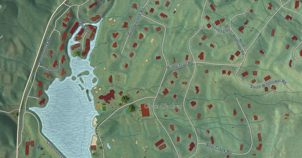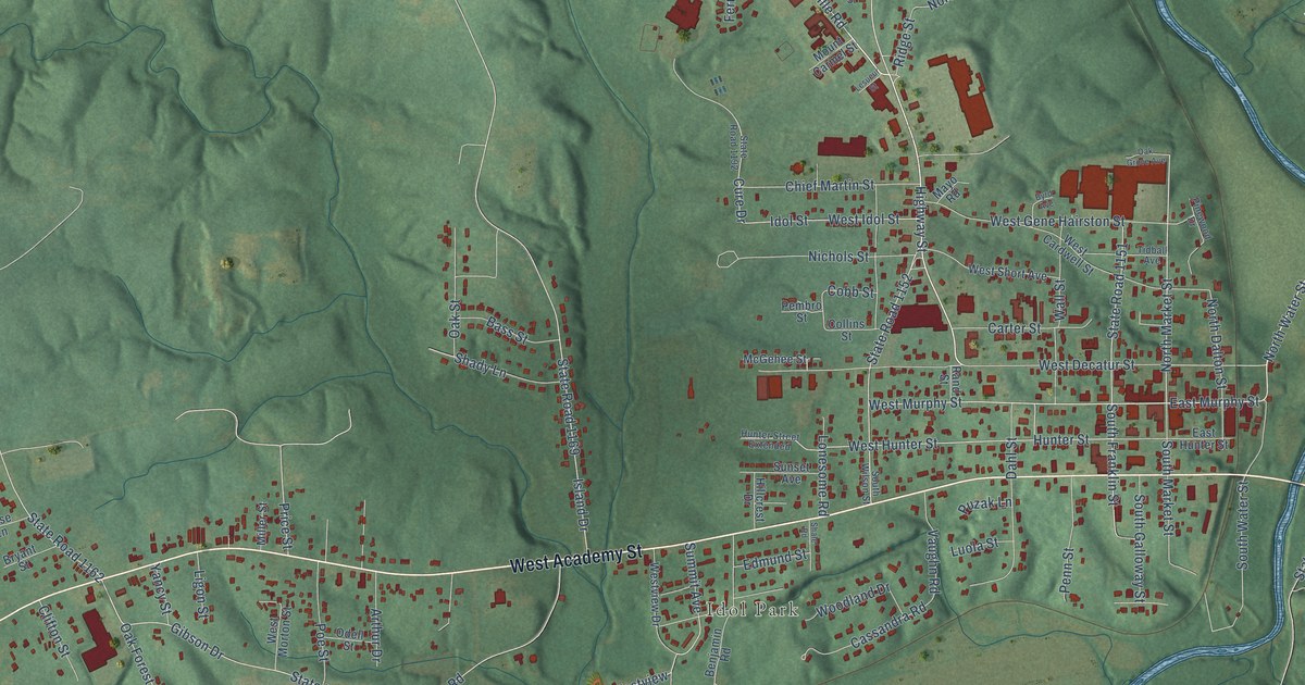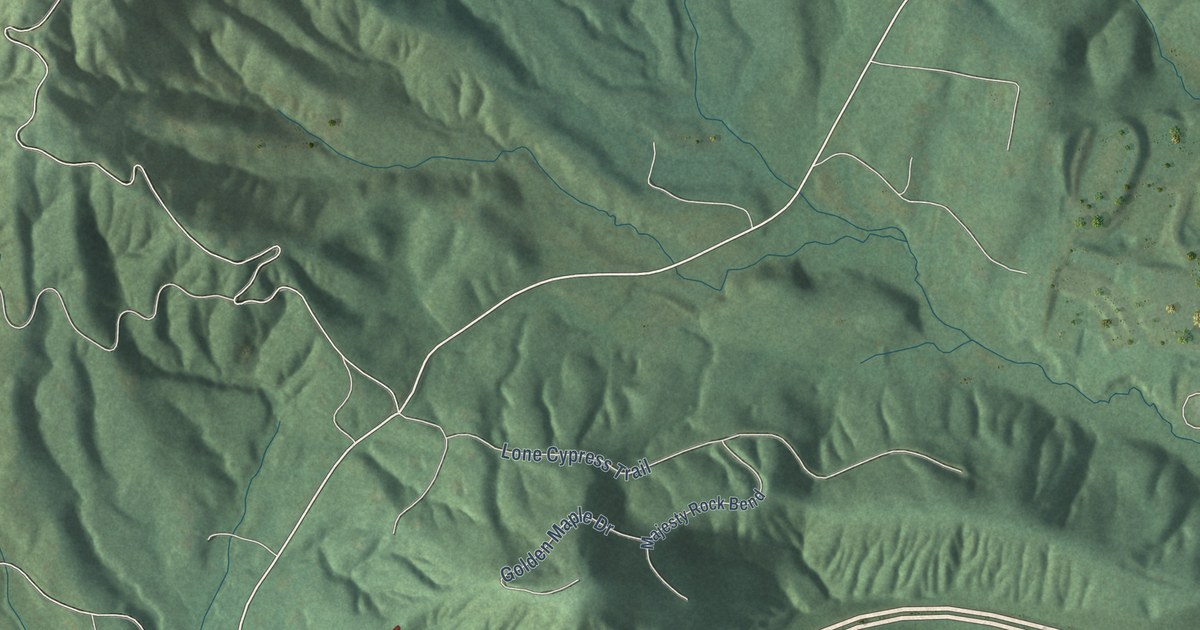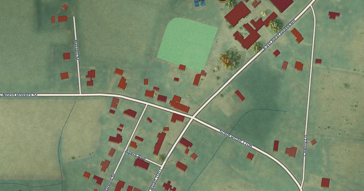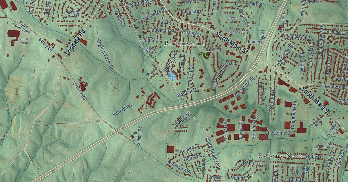
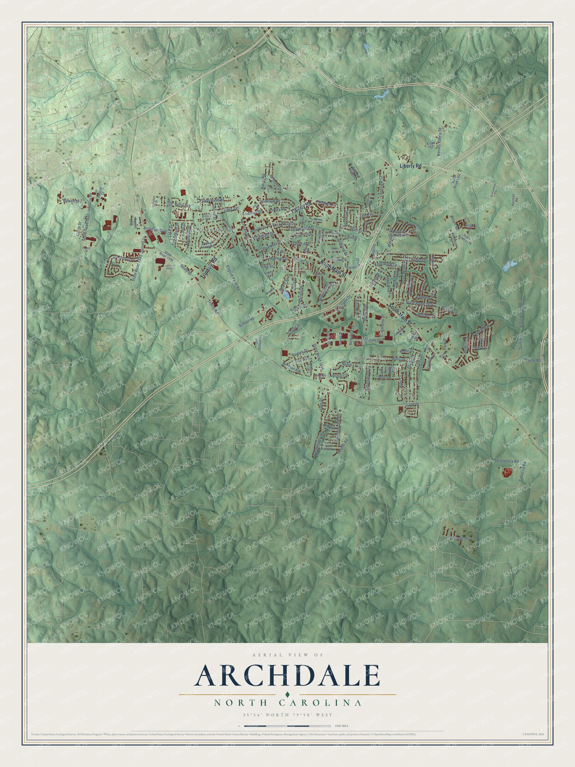
This beautifully detailed map of Archdale, North Carolina was created in 2026 using aerial imagery combined with modern topographical, census, street and landmark data. It's a modern aerial view of Archdale in Randolph County, North Carolina, that combines modern data with a vintage aesthetic. The roads feature printed names, and if you look closely you can find your exact house accurately shown in its correct location.
Explore an aerial view of Archdale, North Carolina
On this map you'll find Ravenwood, Robins Nest, Roxana, Westwood, North Main Street, Liberty Road, South Main Street, Trindale Road, Aldridge Road, State Road 1595, State Road 1004, Archdale Road, and more. Each red shape is a building, so zoom in on the preview and look for yours.
Archdale has a story worth telling. The record at dncr.nc.gov puts it this way: "General Johnston's men paid off and mustered out near here, May 1-2, 1865, after surrender near Durham, April 26."
Archdale is a city in Randolph County. The Census Bureau counted 11,907 people here in 2020.
Take a closer look at the Archdale map
Names on this map
These names are printed on this map.
Places: Ravenwood, Robins Nest, Roxana and Westwood.
Streets and roads: North Main Street, Liberty Road, South Main Street, Trindale Road, Aldridge Road, State Road 1595, State Road 1004, Archdale Road, Ashland Street, Baker Road, Eden Terrace, Weant Road.
More street names, A to Z
Aldridge Lane, Alison Lane, Allendale Drive, Apollo Circle, Archdale Boulevard, Aztec Drive, Bainbridge Street, Balfour Drive, Barrett Drive, Barwood Terrace, Beard Avenue, Belgian Drive, Belmont Drive, Billy Avenue, Blair Court, Blair Drive, Bowen Drive, Bradford Lane, Brandon Lane, Brighton Village Lane, Brookhollow Lane, Byron Lane, Callahan Street, Chesapeake Lane, Cheyenne Drive, Circle Drive, Cloverdale Drive, Comanche Drive, Corina Circle, Country Lane, Craig Drive, Dale Street, Daniel Paul Drive, Davidson Street, David Street, Deaton Road, Dellwood Street, Dogwood Lane, Don Avenue, Dove Meadows Drive, East White Drive, Eastwind Drive, Elaine Street, Elliott Street, Englewood Drive, English Court, English Farm Road, Erica Drive, Ester Court, Forestwood Drive, Fountain Street, Frazier Street, Freeman Place, Frontier Street, Frye Street, Gaither Court, Garrell Street, Gene Street, Glendale Drive, Goodman Street, Greenhaven Drive, Gregg Street, Havenwood Drive, Hope Valley Drive, Huff Road, Interstate Drive, Jackie Avenue, Julian Avenue, Kersey Drive, Kersey Valley Road, Kinview Drive, Knollwood Drive, Lake Drive, Lakeside Drive, Lane Drive, Laura Avenue, Leyland Terrace, Linda Drive, Lockhart Street, Longview Drive, Lonita Street, Luck Drive, Lunar Drive, Lynbrook Drive, Lynn Drive, Macon Drive, Meredith Drive, Mose Drive, Murray Circle, Navajo Drive, Norman Avenue, Northeast Drive, Oak Forest Lane, Oakspring Lane, Oak Way, Office Parkway, Old Glenola Road, Old School Road, Park Drive, Parker Street, Penman Road, Petty Street, Pinecrest Drive, Playground Road, Plummer Drive, Poole Road, Powell Way, Ralph Drive, Rand Boulevard, Renola Drive, Robin Circle, Robin Lane, Roby Drive, Roelee Street, Sagewood Lane, School Road, Sealy Drive, Seminole Drive, Shean Drive, Smith Lane, Springwood Lane, Staffordshire Drive, State Road 1162, State Road 1596, State Road 1612, State Road 1914, State Road 1916, State Road 1917, Sterling Ridge Drive, Stratford Road, Suits Road, Sunny Lane, Surrett Drive, Tarheel Drive, Tobacco Road, Trey Lane, Trinity Road, Uwharrie Road, Verta Avenue, Wall Street, Walnut Grove Road, Wedgewood Street, Westhaven Lane, West White Drive, Whisper Oak Drive, Willow Terrace, Wood Avenue.
Created by KNOWOL in 2026. The buildings are small red shapes, the roads carry their printed names, and shaded relief shows the shape of the land. The title panel reads "AERIAL VIEW OF ARCHDALE NORTH CAROLINA" with 35°54' NORTH 79°58' WEST.
It looks right in a kitchen, an office or a den, and it's a gift for anyone who grew up in Archdale or moved away. Open the preview and find your street. See sizes and frames for the Archdale map.