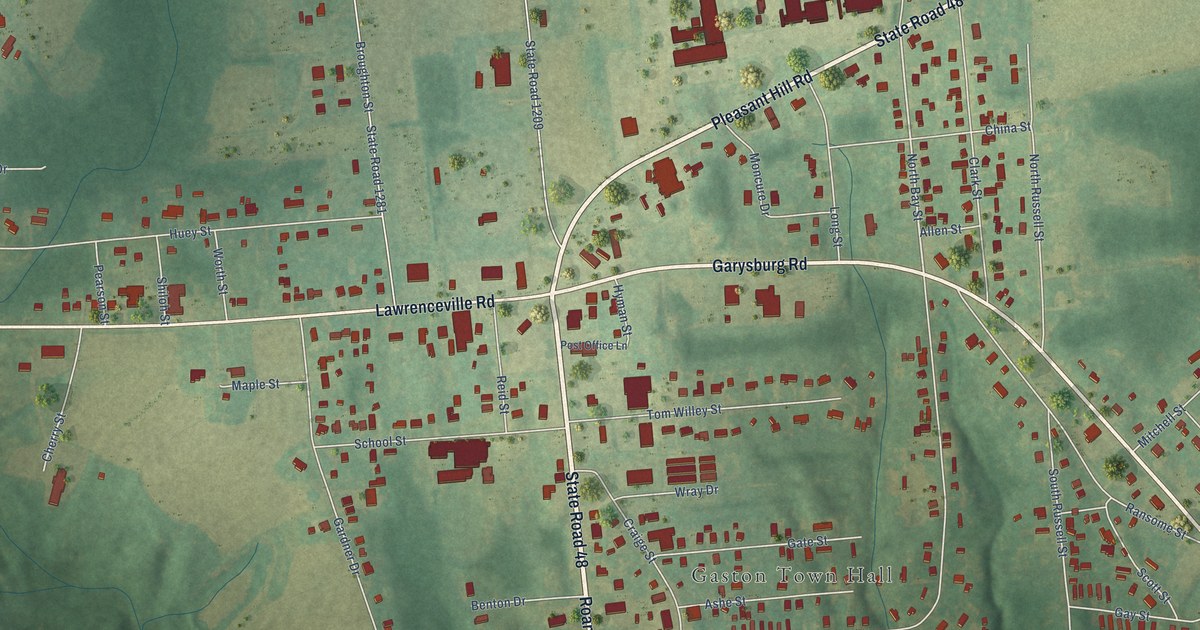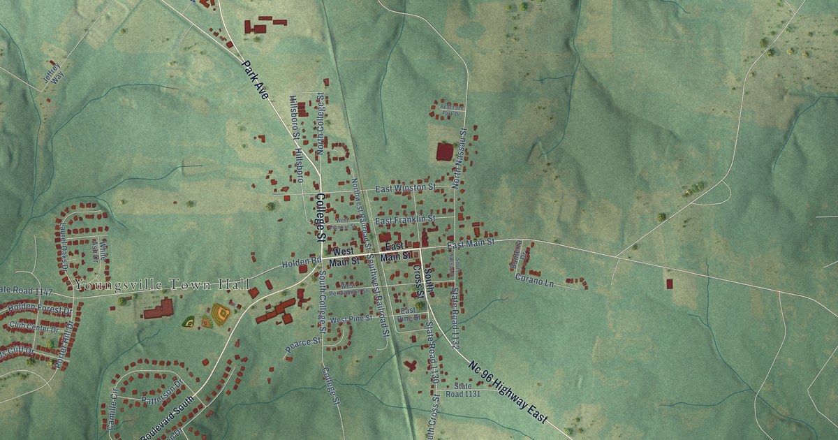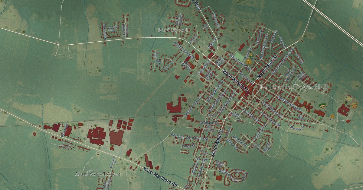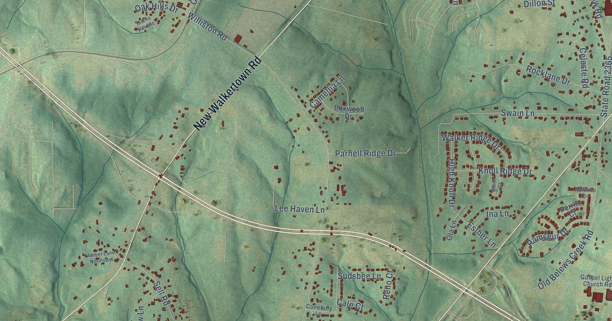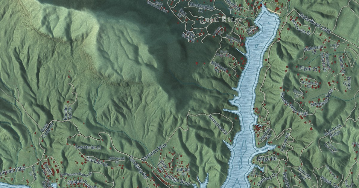
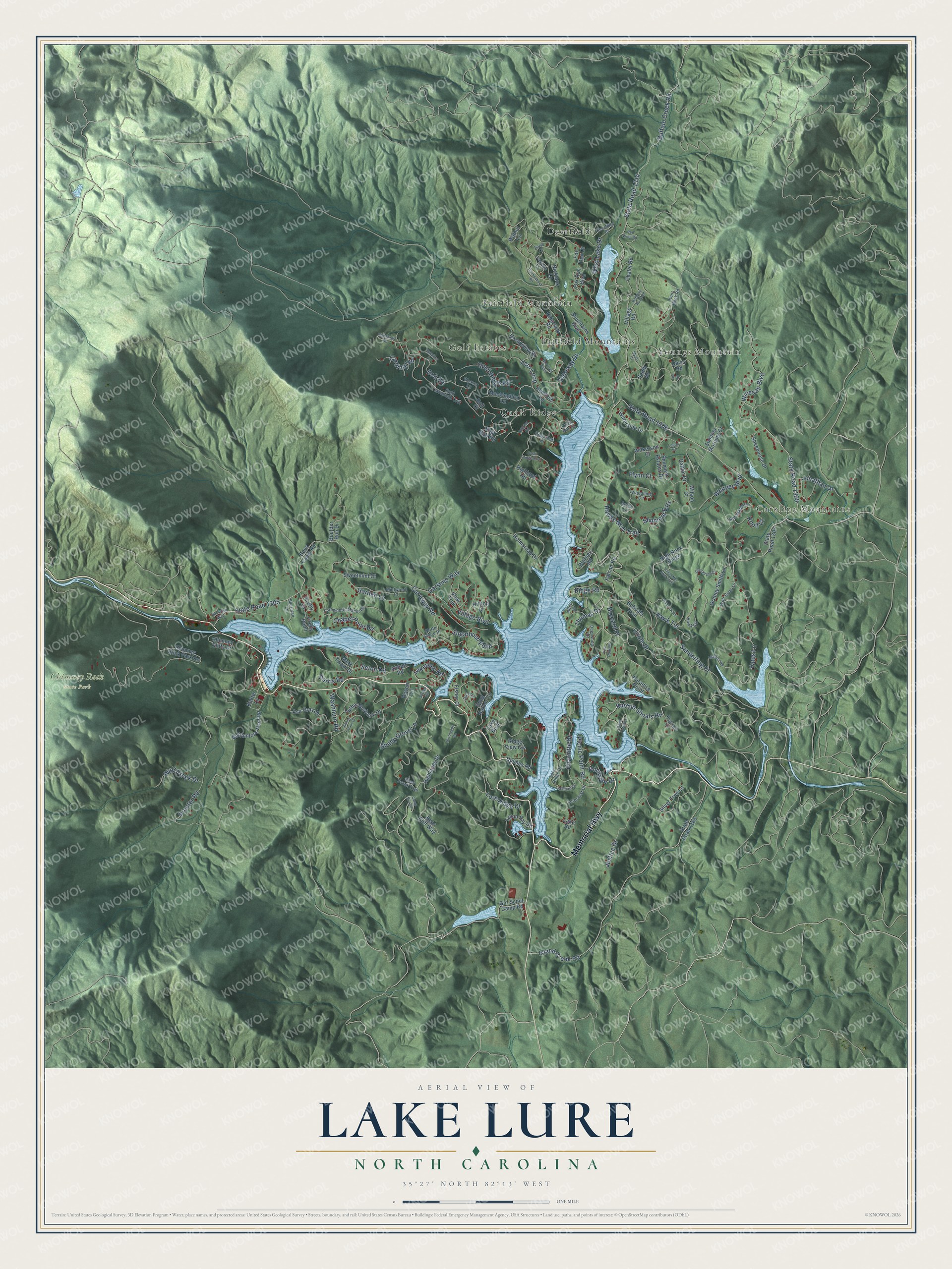
This beautifully detailed map of Lake Lure, North Carolina was created in 2026 using aerial imagery combined with modern topographical, census, street and landmark data. It's a modern aerial view of Lake Lure in Rutherford County, North Carolina, that combines modern data with a vintage aesthetic. The roads feature printed names, and if you look closely you can find your exact house accurately shown in its correct location.
Explore an aerial view of Lake Lure, North Carolina
On this map you'll find Carolina Mountains, Chimney Rock State Park, Deerfield, Fairfield Mountain, Fairfield Mountains, Golf Estates, Quail Ridge, Youngs Mountain, Memorial Highway, Oriole Drive, Sugarbush Point, State Road 1306, and more. Each red shape is a building, so zoom in on the preview and look for yours.
Every town has a first chapter, and Lake Lure is no exception. The North Carolina Gazetteer puts it this way: "Lake Lure town in W Rutherford County on the lake of the same name. Est. 1925; inc. 1927. Alt. 1,050. The town has an immense corporate limit situating it on Buffalo Creek, Broad River, and Pool Creek."
Lake Lure is a town in Rutherford County. The Census Bureau counted 1,365 people here in 2020.
Take a closer look at the Lake Lure map
Names on this map
These names are printed on this map.
Places: Carolina Mountains, Chimney Rock State Park, Deerfield, Fairfield Mountain, Fairfield Mountains, Golf Estates, Quail Ridge and Youngs Mountain.
Streets and roads: Memorial Highway, Oriole Drive, Sugarbush Point, State Road 1306, Buffalo Shoals Road, Buffalo Creek Road, State Road 1314, State Road 1305, Proctor Road, Whitney Boulevard, State Road 1308, Winesap Boulevard.
More street names, A to Z
Abbott Road, Acorn Lane, Allen Drive, Asa Gray Drive, Bald Mountain Crst, Banjo Court, Bear Cliff Way, Bee Tree Point, Blarney Road, Blue Bird Road, Bobcats Trail, Bolt Court, Bolt Road, Bottomless Pool Road, Boulder Run Drive, Boys Camp Road, Burroughs Road, Buzzard Place, Cameron Lane, Camp Hill Road, Cardinal Road, Carsons Way, Chalet Road, Chapel Point Road, Charlotte Drive, Chimney Cliffs Drive, Chimney Rock Park Road, Clear Creek Trail, Crabapple Court, Cut Away Road, Dalton Court, Davis Road, Deerfield Drive, Deerwood Drive, Dockside Drive, Dogwood Drive, Falcon Road, Fern Loop, Firefly Cv, Firefly Point, Fisher Court, Flynn Court, Fox Den Drive, Fox Run Boulevard, Garden Lane, Gateway Drive, Girl Scout Camp Road, Grandview Drive, Granny Smith Lane, Hanging Rock Road, Harris Road, Hawk Circle, Hawks Nest Trail, Hawk Terrace, Hemlock Lane, Highland Heights, Highlands Drive, Highlands Road, High Rock Ridge, Hilltop Court, Holmes Road, Holmstead Drive, Island Creek Road, Jonathan Lane, Justice Drive, Keeter Lane, Kens Rock Road, Knoll Court, Lake Boulevard, Lake Ridge Drive, Lake Road, Lakeview Road, Laurel Lane, Lee Court, Logan Court, Lurecrest Drive, Lure Ridge Drive, Lurewoods Manor Drive, Luther Burbank Drive, Mallard Cv, Mallard Road, Mark Twain Drive, Mintwood Court, Mockingbird Lane, Mountains Boulevard, Nicklaus Lane, North Shore Drive, O'Brien Road, Old Crow Road, Paradise Point, Pearson Circle, Picnic Point Road, Pier Point Drive, Quail Ridge Boulevard, Quail Ridge Road, Quail Run Court, Red Maple Lane, Red Wing Road, Resort Lane, Ridge Road, Ridge View Circle, Ridgeway Road, Rock Crest Cv, Roundabout Road, Sanderling Court, Sea Wish Way, Seton Road, Shady Grove Lane, Sheepnose Drive, Sheridan Lane, Shumont Estates Drive, Shumont Ests, Sidney Lanier Drive, Silver Tree Lane, Snug Harbor Circle, South Drive, Spruce Hill, State Road 1185, State Road 1307, Stuart Court, Summer Morning Court, Swallow Lane, Sweetmint Court, Thomas Drive, Touch Me Knot Trail, Tryon Bay Circle, View Trail, Village Boulevard, Village Road, Walnut Lane, Washburn Road, Waterside Drive, Weaver Lane, West Lake Drive, Wilkerson Court, Wilson Court, Wolf Creek Drive, Wolf River Lane, Woodland Circle, Yates Lane.
Created by KNOWOL in 2026. The buildings are small red shapes, the roads carry their printed names, and shaded relief shows the shape of the land. The title panel reads "AERIAL VIEW OF LAKE LURE NORTH CAROLINA" with 35°27' NORTH 82°13' WEST.
Hang it in the hallway, the office or the cabin, or give it to someone who left Lake Lure and still calls it home. Open the preview and look for a street you know. See sizes and frames for the Lake Lure map.