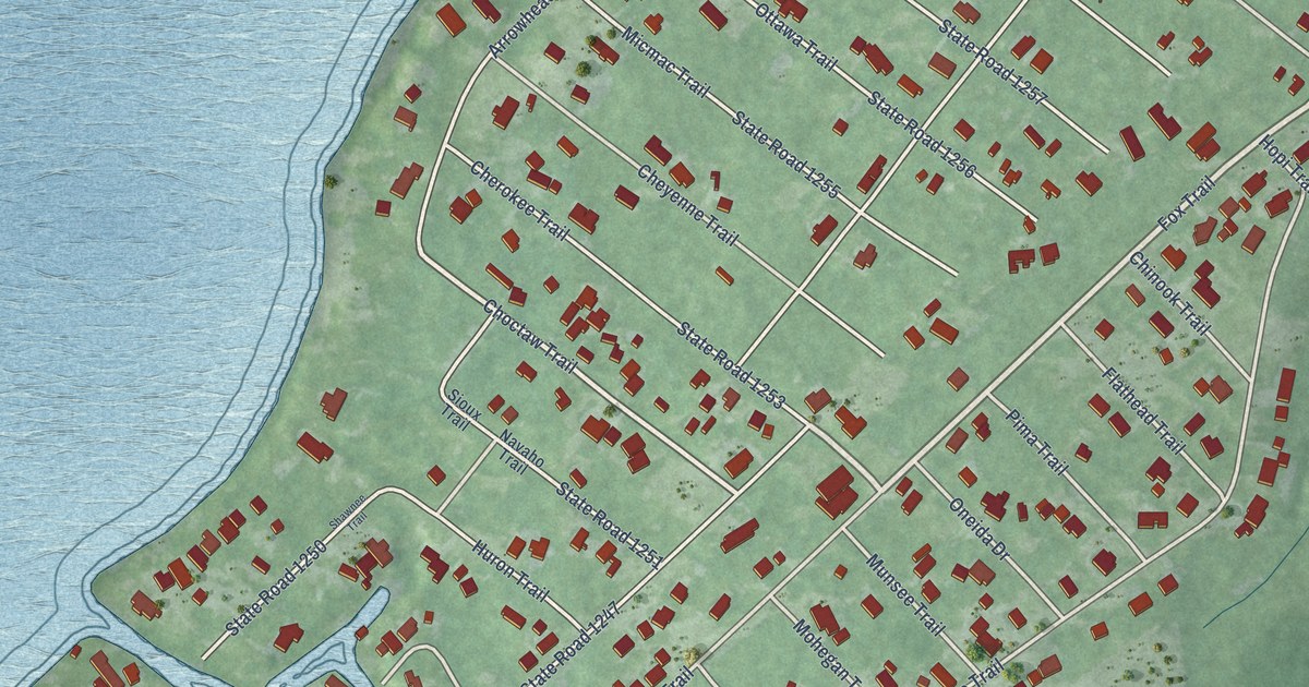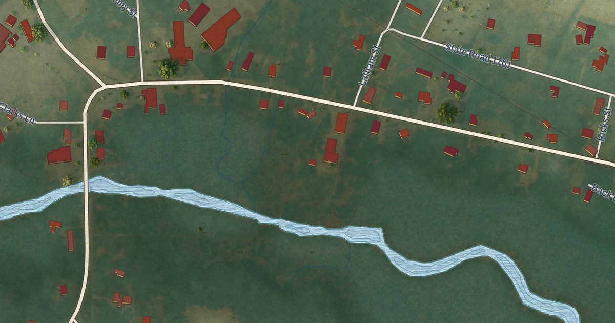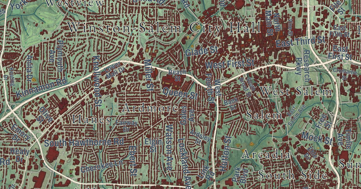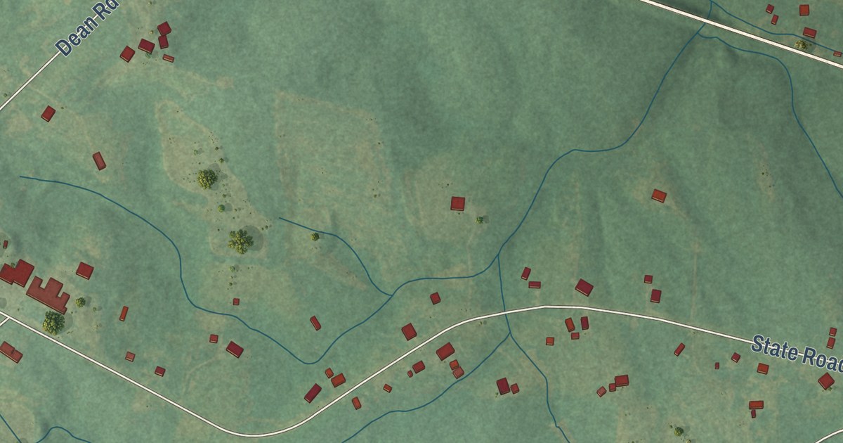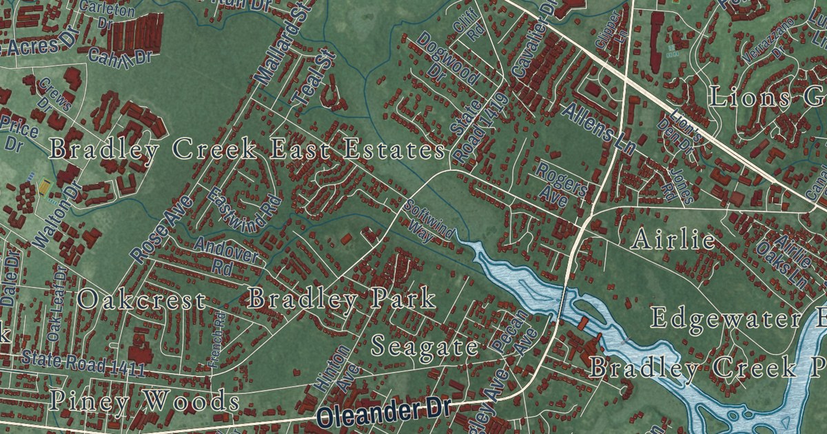
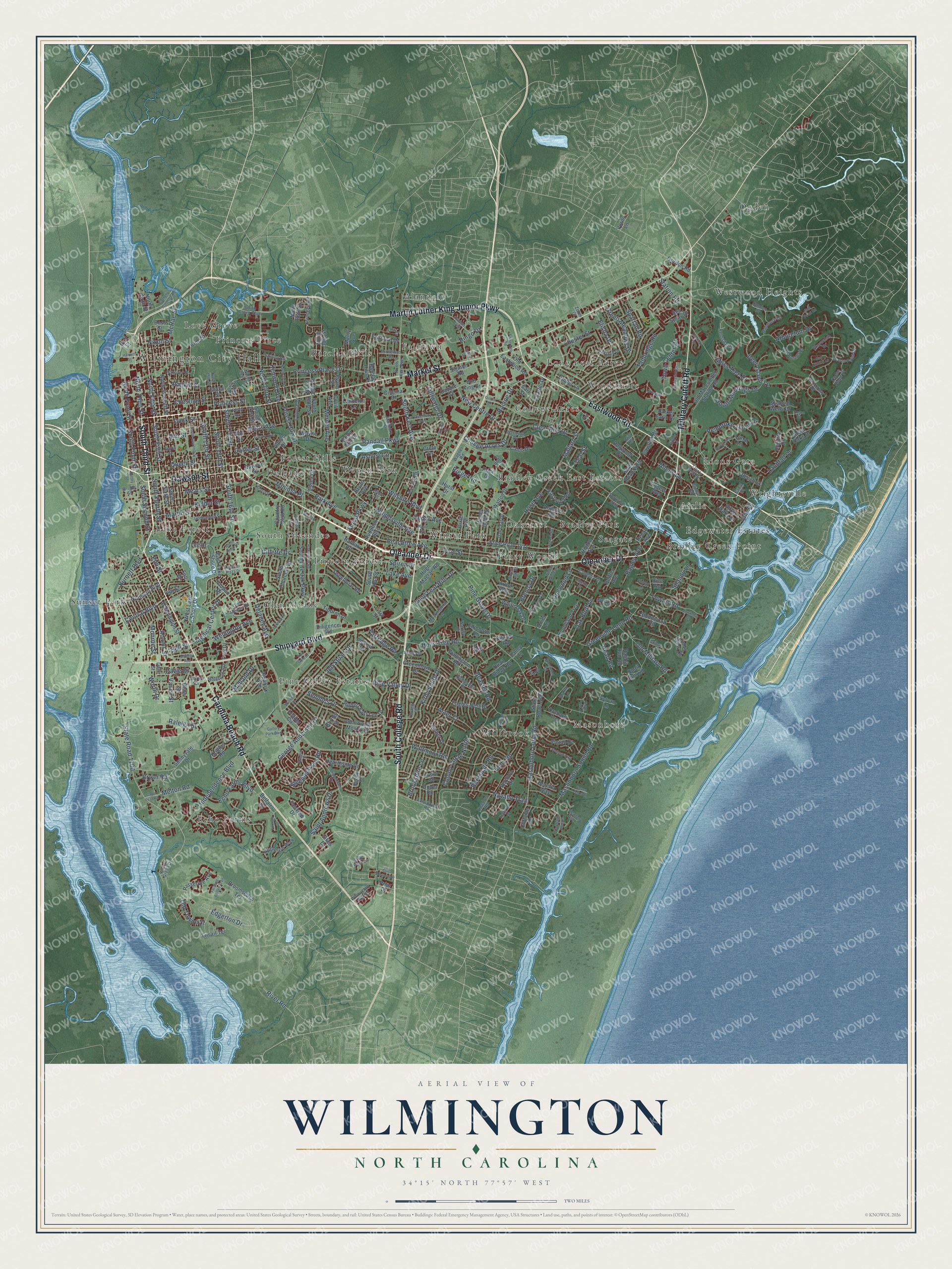
This beautifully detailed map of Wilmington, North Carolina was created in 2026 using aerial imagery combined with modern topographical, census, street and landmark data. It’s a one-of-a-kind view of Wilmington that combines accurate data with a vintage aesthetic. The map shows every building in its true location, many of the roads carry their names, and the shaded topographic relief shows the shape of the land.
Explore an aerial view of Wilmington, North Carolina
On the map you’ll find Wilmington City Hall, Airlie, Alandale, Barclay Hills, Bradley Creek East Estates, Bradley Creek Point, Bradley Park, College Acres, Delgado, Devon Park, Echo Farms, Fairlawn, and more. If you look closely you can even find your house accurately drawn in its correct location. Zoom in on the preview to look for yours.
Did you know this piece of Wilmington, North Carolina history?
From Ncpedia.org: "Also around this time the Wilmington & Weldon, Wilmington & Manchester, and Wilmington, Charlotte, and Rutherford Railroads established terminals in the town, which allowed trade to extend deep into Western North Carolina and beyond."
Take a closer look at the Wilmington map
Street and place names on the Wilmington, North Carolina map
These names are printed on the map of Wilmington, North Carolina.
Places: Wilmington City Hall, Ogden, Echo Farms, Bradley Creek Point, Millbrook, Alandale, Sunset Park, Piney Woods, South Oleander, Windemere, Pine Valley Estates, Barclay Hills, Westwood Heights, Love Grove, Bradley Park, Forest Hills, Lake Forest, Masonboro, College Acres, Wrightsville, Glen Meade, Bradley Creek East Estates, Winter Park, Delgado, Devon Park, Fairlawn, Lincoln Forest, Lions Gate, Princess Place, Seagate, Edgewater Estates, Oakcrest, Long Leaf Acres and Airlie.
Streets and roads: South College Road, Market Street, Oleander Drive, Carolina Beach Road, Eastwood Road, South Third Street, Dawson Street, Military Cutoff Road, Martin Luther King Junior Parkway, Shipyard Boulevard, Wrightsville Avenue, North Third Street.
More street names, A to Z
41st Street, Acacia Drive, Adams Street, Airlie Oaks Lane, Airlie Road, Albert Circle, Allens Lane, Alpine Drive, Amber Drive, Andover Road, Ann Street, Anson Drive, Appleton Way, Arboretum Drive, Arbor Way, Ashley Circle, Aster Court, Audubon Boulevard, Azalea Drive, Bagley Avenue, Barclay Hills Drive, Barksdale Road, Bay Colony Lane, Beasley Road, Beech Street, Belfairs Drive, Bell Street, Bentley Drive, Benton Avenue, Beretta Way, Bess Street, Bexley Drive, Bob King Drive, Bragg Drive, Braxlo Lane, Brenda Drive, Brevard Drive, Bristol Road, Brookshire Lane, Broomsedge Terrace, Bryan Avenue, Bryan Road, Buccaneer Road, Bull Street, Burnett Boulevard, Burney Street, Burnt Mill Drive, Cabbage Inlet Lane, Cahill Drive, Camellia Lane, Canal Street, Cape Fear Road, Carleton Drive, Carl Street, Castle Street, Cavalier Drive, Cayman Court, Cedar Avenue, Central Boulevard, Charter Drive, Chelon Avenue, Chester Street, Chestnut Street, Chilcot Lane, Chippenham Drive, Church Street, Cinema Drive, Clearbrook Drive, Clear Run Drive, Cliff Road, Cliffside Drive, Clipper Lane, College Acres Drive, Colonial Drive, Colony Circle North, Cornelius Harnette Drive, Country Club Road, Cove Point Drive, Covil Avenue, Crete Drive, Crews Drive, Dapple Court, Dare Street, Davie Drive, Deer Island Lane, Delaney Avenue, Diligence Road, Dixie Avenue, Dobbon Avenue, Dock Street, Dogwood Drive, Dogwood Lane, Dover Road, Dundee Drive, Dunmore Road, Eagles Nest Drive, East Lake Shore Drive, Eastwind Road, Echo Farms Boulevard, Edgerton Drive, Edinboro Lane, Efird Road, Elisha Drive, Elm Street, Essex Drive, Evans Street, Fairlawn Drive, Fairview Drive, Fall Drive, Finian Drive, Fisherville Road, Floating Bridge Trail, Floral Parkway, Forest Hills Drive, Forest Park Road, Foxhall Court, Freedom Road, French Road, Gallery Park Boulevard, Gate Post Lane, George Anderson Drive, Gibson Avenue, Gillette Drive, Glen Meade Road, Gordon Road, Grace Street, Graywalsh Drive, Great Oaks Drive, Greenfield Street, Greenhowe Drive, Green Meadows Drive, Greenville Loop Road, Greenway Avenue, Grouse Court, Guinea Lane, Gull Point Road, Halifax Road, Hampshire Drive, Hanover Street, Harborway Drive, Harnett Street, Hawksbill Drive, Hawthorne Road, Head Road, Hearthside Drive, Helmsdale Drive, Hinton Avenue, Holbrook Avenue, Hollins Road, Holly Tree Road, Hospital Plaza Drive, Hugh Macrae Road, Hunters Trail, Hurst Drive, Independence Boulevard, Inlet View Drive, Inspiration Drive, Iron Gate Drive, Ivey Circle, Jeb Stuart Drive, John South Mosby Drive, Jones Road, Joy Place, Kellerton Place, Kelly Road, Kenwood Avenue, Kidder Street, Kilarny Road, King Street, Kirby Smith Drive, Kornegay Avenue, Lake Avenue, Lancelot Lane, Landfall Drive, Lansdowne Road, Leader Circle, Lee Drive, Lennon Drive, Lion's Den Drive, Long Leaf Hills Drive, Lullwater Drive, Lunar Lane, Lynnwood Drive, Mallard Street, Manly Avenue, Maple Avenue, Marion Drive, Marlboro Street, Martin Street, Masonboro Loop Road, Masonboro Sound Road, Mayfair Drive, McClelland Drive, McRae Street, Mears Street, Medical Center Drive, Melton Road, Mercer Avenue, Metts Avenue, Midland Drive, Mimosa Place, Mockingbird Lane, Monroe Street, Montrose Lane, Moss Tree Drive, Museum Drive, Navaho Trail, New Centre Drive, Newkirk Avenue, Nixon Street, North 15th Street, North 18th Street, North 21st Street, North 23rd Street, North 25th Street, North 26th Street, North 29th Street, North 30th Street, Northern Boulevard, North Fifth Street, North Front Street, North Kerr Avenue, North Seventh Street, North Sixth Street, Nun Street, Nutt Street, Oak Bluff Lane, Oakland Drive, Oak Leaf Drive, Ocean Point Drive, Ocean Ridge Drive, Old Eastwood Road, Old Maccumber Station Road, Old Military Road, Old Towne Street, Orchard Trce, Oriole Drive, Park Avenue, Parker Farm Drive, Partridge Road, Passerine Avenue, Peachtree Avenue, Pecan Avenue, Peiffer Avenue, Pembroke Jones Drive, Penn Street, Perry Avenue, Pickett Drive, Pine Grove Drive, Pine Street, Pine Valley Drive, Price Drive, Princess Place Drive, Princess Street, Prior Drive, Quail Ridge Road, Quail Run Road, Queen Street, Quiet Lane, Rabbit Run Road, Racine Drive, Raleigh Street, Randall Parkway, Rankin Street, Regatta Drive, Rice Road, Riegel Road, Ringo Drive, River Road, Robert East Lee Drive, Robin Hood Road, Rogers Avenue, Rose Avenue, Saint Andrews Drive, Sea Spray Drive, Semmes Drive, Seven Oaks Drive, Shandy Lane, Shelby Drive, Shinnwood Road, Shirley Road, Sigmon Road, Sikes Drive, Smith Creek Boulevard, Softwind Way, South 13th Street, South 15th Street, South 16th Street, South 17th Street, South 21st Street, South 29th Street, South 41st Street, South Churchill Drive, South Eleventh Street, South Fifth Street, South Fourth Street, South Front Street, South Kerr Avenue, South Live Oak Parkway, South Moorings Drive, South Second Street, South Sixth Street, Spanish Wells Drive, Spartan Road, Spirea Drive, State Road 1100, State Road 1411, State Road 1419, State Road 1492, Station Road, Steeplechase Road, Still Meadow Drive, Sunnyvale Drive, Sun Runner Place, Surrey Street, Sweetbriar Road, Sylvan Lane, Tabor Lane, Talley Lane, Tanbridge Road, Teal Street, Tiburon Drive, Timber Lane, Towles Road, Town Center Drive, Trisail Terrace, Troy Drive, Vance Street, Varsity Drive, Verdura Drive, Verrazzano Drive, Village Green Drive, Vorils Lane, Wagner Road, Wagon Court, Wallington Road, Waltmoor Road, Walton Drive, Warlick Drive, Washington Street, Wayfarer Trail, Wayne Drive, Wellington Avenue, West Lake Shore Drive, White Oak Drive, Willoughby Park Court, Willow Woods Drive, Wilshire Boulevard, Wood Dale Drive, Woodland Trce, Worth Drive, Wright Street, Yaupon Drive, Zoom Court.
See the Wilmington, North Carolina map on a wall
The Wilmington map as an 18 x 24 inch print in a black frame.

This beautifully detailed map of Wilmington makes an attractive addition to your office, library, or den, and it can even be used to teach children the geography and history of the area. It also makes a great gift for anyone with Wilmington roots. When you’re done exploring, click here to get your copy of the Wilmington map.