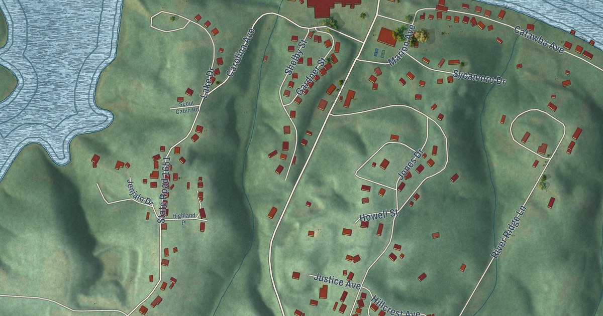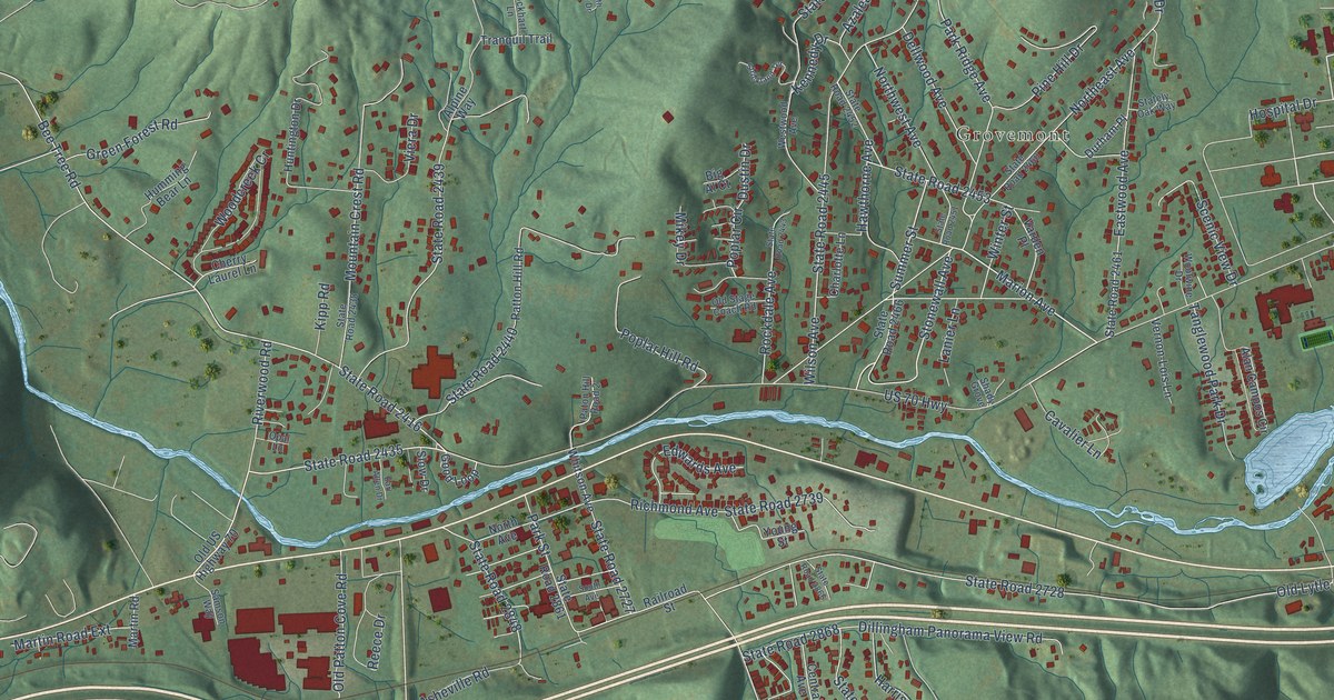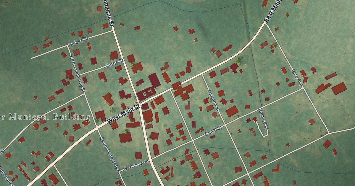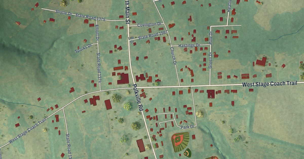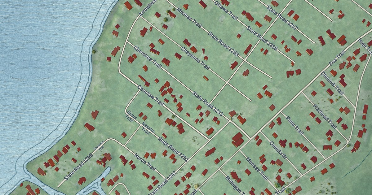
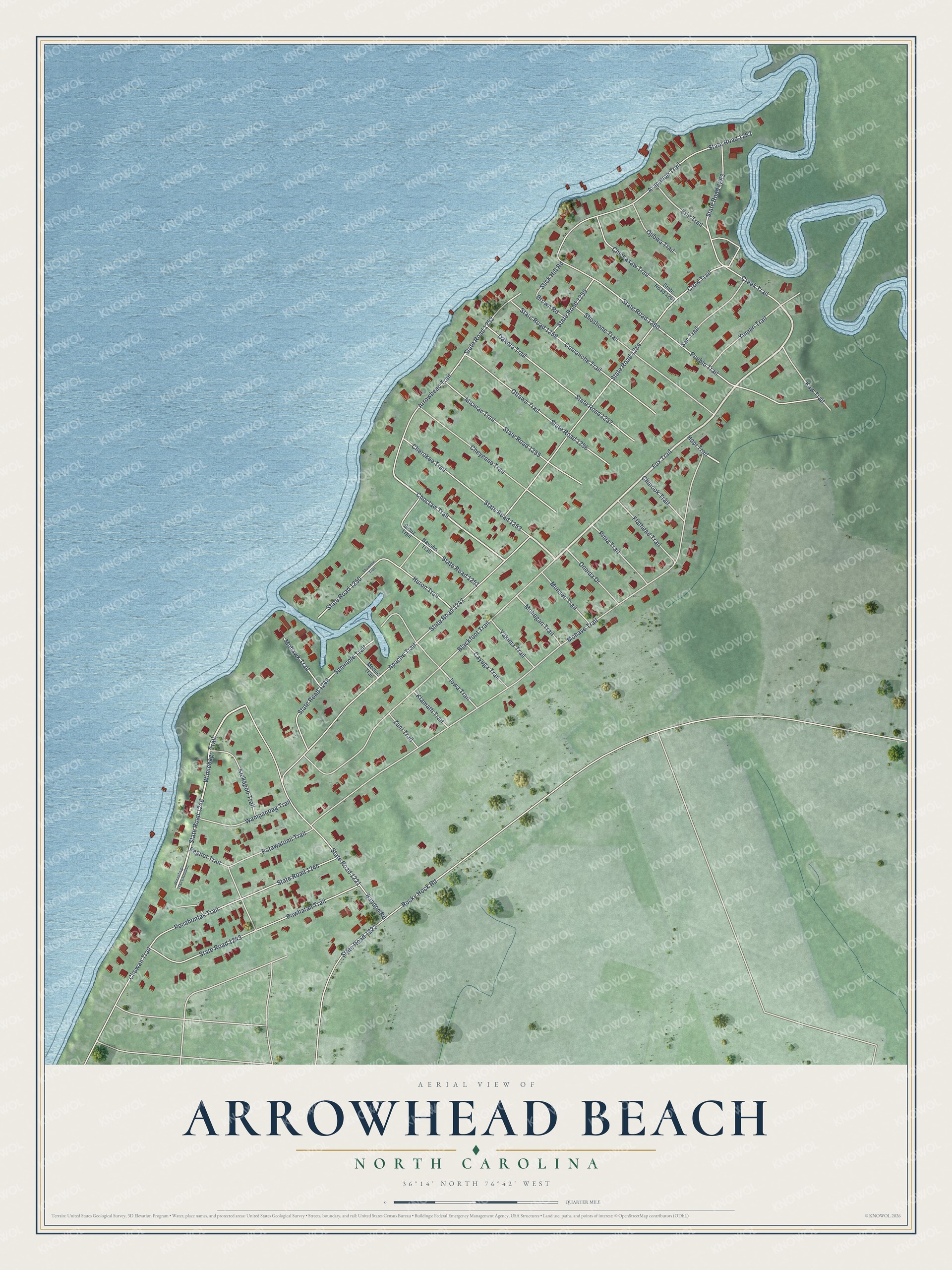
This beautifully detailed map of Arrowhead Beach, North Carolina was created in 2026 using aerial imagery combined with modern topographical, census, street and landmark data. It's a modern aerial view of Arrowhead Beach in Chowan County, North Carolina, that combines modern data with a vintage aesthetic. The roads feature printed names, and if you look closely you can find your exact house accurately shown in its correct location.
Explore an aerial view of Arrowhead Beach, North Carolina
On this map you'll find Fox Trail, State Road 1246, Winnebago Trail, Choctaw Trail, Mohave Trail, Crow Trail, State Road 1254, State Road 1252, Apache Trail, State Road 1247, Blackfoot Trail, Pueblo Trail, and more. Each red shape is a building, so zoom in on the preview and look for yours.
Arrowhead Beach is a community in Chowan County. The Census Bureau counted 640 people here in 2020. The map prints the town name in its title panel, with the coordinates below it.
Take a closer look at the Arrowhead Beach map
Names on this map
These names are printed on this map.
Streets and roads: Fox Trail, State Road 1246, Winnebago Trail, Choctaw Trail, Mohave Trail, Crow Trail, State Road 1254, State Road 1252, Apache Trail, State Road 1247, Blackfoot Trail, Pueblo Trail.
More street names, A to Z
Arapahoe Trail, Arrowhead Trail, Bandon Road, Brown Road, Cayuga Trail, Cherokee Trail, Cheyenne Trail, Chickasaw Trail, Chinook Trail, Chowan Trail, Comanche Trail, Creek Trail, Dakota Trail, Erie Trail, Flathead Trail, Hopi Trail, Huron Trail, Iowa Trail, Kaw Trail, Kickapoo Trail, Klamath Trail, Micmac Trail, Modoc Trail, Mohawk Trail, Mohegan Trail, Munsee Trail, Navaho Trail, Ojibwa Trail, Oneida Drive, Ottawa Trail, Peguot Trail, Pima Trail, Pocahontas Trail, Potawatomi Trail, Powhatan Trail, Rocky Hock Road, Sac Trail, Seminole Trail, Shawnee Trail, Shoshone Trail, Sioux Trail, Slick Hill Road, State Road 1221, State Road 1222, State Road 1243, State Road 1244, State Road 1248, State Road 1250, State Road 1251, State Road 1253, State Road 1255, State Road 1256, State Road 1257, State Road 1258, State Road 1259, State Road 1260, State Road 1261, State Road 1262, State Road 1263, Wampanoag Trail, Winnebago Trail Extended, Yakima Trail, Yuman Trail, Zuni Trail.
See it on a wall
The Arrowhead Beach map as a framed print. Swipe for more.


Created by KNOWOL in 2026. The buildings are small red shapes, the roads carry their printed names, and shaded relief shows the shape of the land. The title panel reads "AERIAL VIEW OF ARROWHEAD BEACH, NORTH CAROLINA" with 36°14' NORTH 76°42' WEST.
It looks right in a kitchen, an office or a den, and it's a gift for anyone who grew up in Arrowhead Beach or moved away. Open the preview and find your street. See sizes and frames for the Arrowhead Beach map.